Paddleboarding spots in Bridgend
2 launch spots across Bridgend
Many inland waterways need a licence to paddle. Check with Paddle Cymru before you go.
Every mapped spot in Bridgend
Zoom in to split a cluster; open a pin for the spotMap of every spot in Bridgend
The interactive map opens on any device with JavaScript. The full list of launch spots is below.
Launch spots
Showing 2 of 2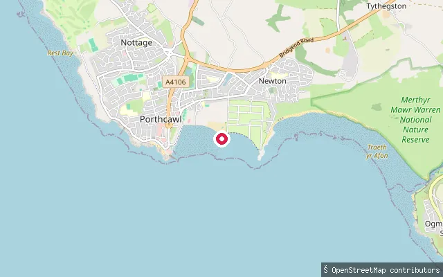 Sea
SeaSandy Bay Slipway
Bridgend, WalesA slipway onto Sandy Bay, known locally as Coney Beach, on the Porthcawl seafront between the harbour and Trecco Bay. The beach fronts the town's amusement park and promenade and carries a lifeguard flag service from May to September, though it does not hold Blue Flag status.
 Sea
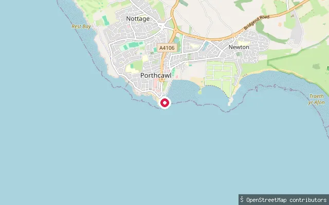
SeaPorthcawl Harbour Slipway
Bridgend, WalesA public trailer slipway inside Porthcawl Harbour on the Esplanade, next to the RNLI lifeboat station. Bridgend County Borough Council operates the slipway for a per-launch or annual fee and requires proof of indemnity insurance before use, and craft access follows the tide gate's window either side of high water. The Bristol Channel here has one of the world's largest tidal ranges, with a mean spring tide at Porthcawl of around 9.9 metres.
Save your own spots
Keep the places you launch, check the wind and shelter before you go, and log every paddle. Add a spot to the directory too, and other paddlers will find it. Free to start.
Some launch spots in this directory are seeded from open data. © OpenStreetMap contributors · Open Database Licence (ODbL) · Machine-readable copy