Paddleboarding spots in Neath Port Talbot
7 launch spots across Neath Port Talbot
Many inland waterways need a licence to paddle. Check with Paddle Cymru before you go.
Every mapped spot in Neath Port Talbot
Zoom in to split a cluster; open a pin for the spotMap of every spot in Neath Port Talbot
The interactive map opens on any device with JavaScript. The full list of launch spots is below.
Launch spots
Showing 7 of 7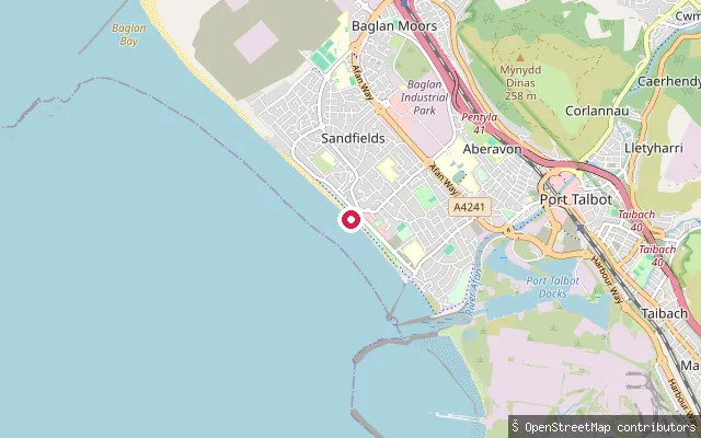 Sea
SeaSandfields West slipway, Aberavon Beach
Neath Port Talbot, WalesThis slipway launches onto Aberavon Beach, a three-mile stretch of sand on Swansea Bay at Port Talbot, in the Sandfields West part of the seafront. The beach holds Blue Flag status and has an RNLI lifeguard station, and its breaking waves regularly draw surfers.
 Sea
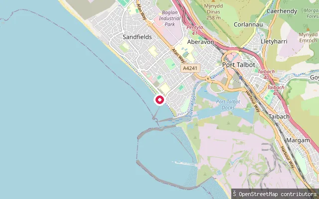
SeaSandfields East slipway, Aberavon Beach
Neath Port Talbot, WalesThis slipway sits at the southern end of Aberavon Beach on Swansea Bay at Port Talbot, in the Sandfields East part of the seafront, near the beach's amphitheatre and piazza.
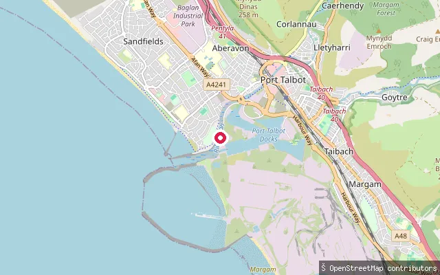
Margam Moors slipway
Neath Port Talbot, WalesThis slipway is mapped inside the Port Talbot Steelworks site on the edge of Margam Moors, a wetland of ditches and marshy grassland between Port Talbot and Margam Sands, part of which is a Site of Special Scientific Interest. No named public water body could be confirmed at the coordinate.
 Lake
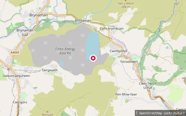
LakeEast Pit slipway, Cwmllynfell
Neath Port Talbot, WalesThis concrete slipway launches onto a flooded former opencast site above Cwmllynfell in the upper Amman valley, recorded by OSM contributors as 'East Pit'. The water has no confirmed official name and, given its origin as reclaimed mining land, public access is unconfirmed.
 River
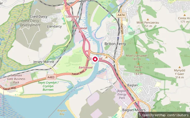
RiverMonkstone Sailing Club slipway
Neath Port Talbot, WalesThis slipway is one of several launch points on the tidal River Neath at Briton Ferry, near Monkstone Sailing Club, close to where the river reaches Swansea Bay. One of its nodes is shared with the mapped coastline, marking the tidal limit of this stretch.
 River
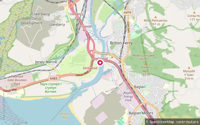
RiverMonkstone Sailing Club slipway
Neath Port Talbot, WalesThis concrete slipway sits on the tidal River Neath at Briton Ferry, close to where the river reaches Swansea Bay, in the vicinity of Monkstone Sailing Club. It is one of several slipways mapped along the same short stretch of riverbank.
 Canal
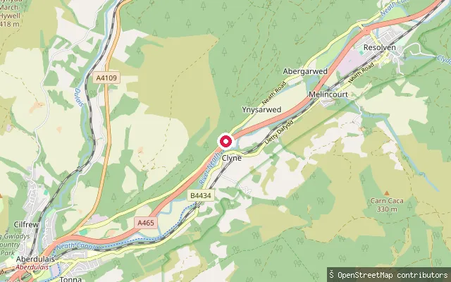
CanalYnysbwllog Aqueduct slipway, Neath Canal
Neath Port Talbot, WalesThis slipway sits on the Neath Canal beside Ynysbwllog Aqueduct near Clyne, where a 32-metre plate girder aqueduct, believed to be the longest single-span aqueduct in the UK, carries the canal over the River Neath. The canal here was restored to navigation in works completed around 2008.
Save your own spots
Keep the places you launch, check the wind and shelter before you go, and log every paddle. Add a spot to the directory too, and other paddlers will find it. Free to start.
Some launch spots in this directory are seeded from open data. © OpenStreetMap contributors · Open Database Licence (ODbL) · Machine-readable copy