Paddleboarding spots in Denbighshire
7 launch spots across Denbighshire
Many inland waterways need a licence to paddle. Check with Paddle Cymru before you go.
Every mapped spot in Denbighshire
Zoom in to split a cluster; open a pin for the spotMap of every spot in Denbighshire
The interactive map opens on any device with JavaScript. The full list of launch spots is below.
Launch spots
Showing 7 of 7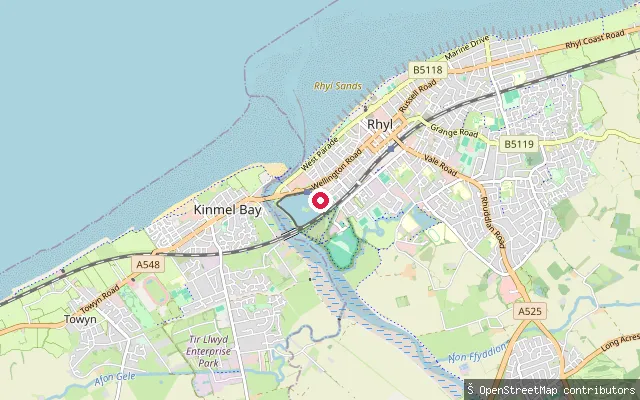 Lake
LakeRhyl Marine Lake
Denbighshire, WalesRhyl Marine Lake is a 40-acre saltwater lake on Rhyl's seafront, opened in 1895 and fed through culverts connected to the tidal Foryd estuary. It is used today for sailing, canoeing and other watersports, and its bathing water improved to a 'good' classification in 2025 after a 'poor' rating in 2022.
 Sea
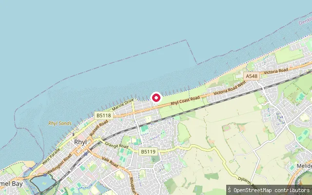
SeaRhyl seafront slipway
Denbighshire, WalesThis slipway sits on Rhyl's seafront on the Liverpool Bay coast, between the town's central promenade and the Prestatyn boundary. No further site-specific detail beyond its position was found.
 Sea
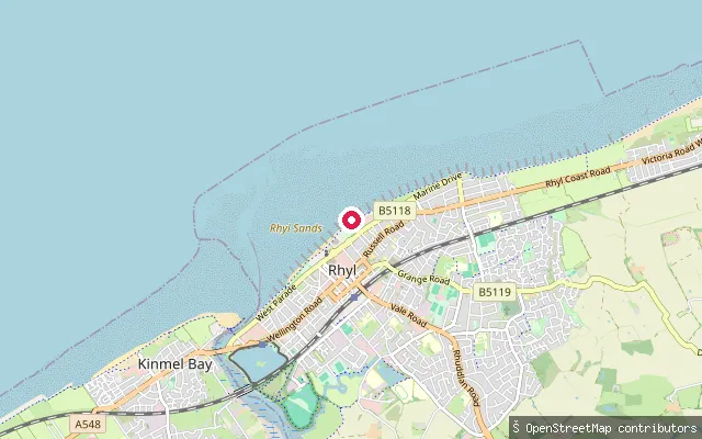
SeaEast Parade, Rhyl
Denbighshire, WalesThis slipway sits on East Parade, Rhyl's seafront promenade near the Sea Life Centre, close to where the 'Rhyl Central' bathing water is sampled. Natural Resources Wales rated that water 'poor' in its 2025 classification, linking it to bacteria carried from the River Clwyd, about 800 metres to the west, after heavy rain. Foryd Harbour, with a Denbighshire Council-managed slipway at the mouth of the River Clwyd, lies roughly a kilometre south-west.
 Sea
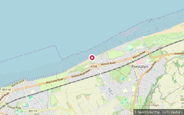
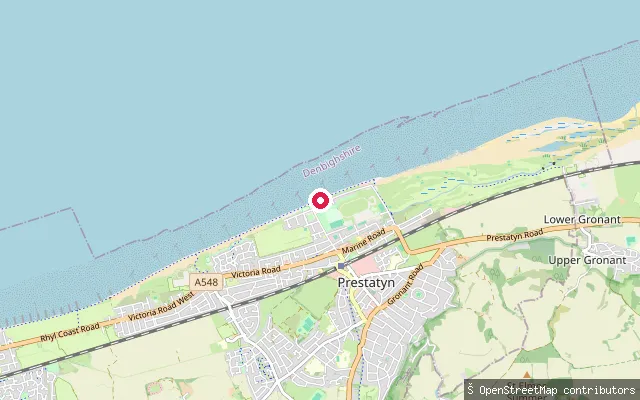
SeaFfrith Beach, Prestatyn
Denbighshire, WalesFfrith Beach is the westernmost of Prestatyn's three beaches, bordering Rhyl and reached from the A548 coastal road. It sits on the same stretch of Liverpool Bay as Central and Barkby beaches to the east.
 Sea
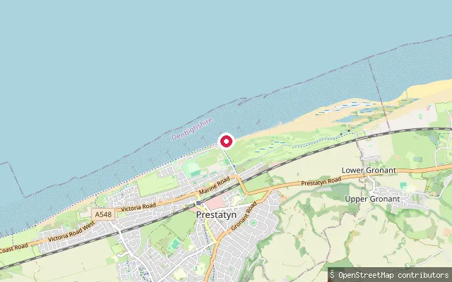
SeaCentral Beach, Prestatyn
Denbighshire, WalesCentral Beach lies midway along Prestatyn's seafront on Liverpool Bay, behind a promenade where the North Wales Cycle Trail and Offa's Dyke Path both finish. A paid car park, toilets and cafes serve the beach, and the north-facing sands are popular for windsurfing and sailing, with a lifeguard-flagged zone in the summer season.
 Sea
SeaBarkby Beach, Prestatyn
Denbighshire, WalesBarkby Beach forms the eastern end of Prestatyn's beaches on the Liverpool Bay coast, with a slipway used for launching small craft near Prestatyn Sailing Club. Denbighshire's Harbour Department handles launching enquiries here, and swimming is discouraged close to the slipway because of vessel movements. Prestatyn's bathing water was rated 'good' in the 2025 classifications, affected at times by discharges from the River Clwyd and Rhyl Cut after heavy rain.
 River
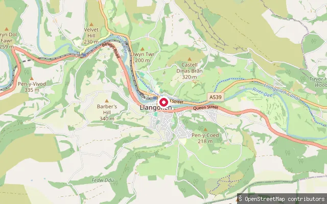
RiverClimedw Farm put-in, Llangollen
Denbighshire, WalesThis slipway gives access to the River Dee just west of Llangollen, within the reach between Horseshoe Falls and Llangollen Town Weir, graded mostly 3 with a grade 4 section at the Serpent's Tail rapid depending on water level. The Welsh Dee Partnership's list of designated launch and egress points for this reach does not include Climedw, and access rests on agreements with riparian owners including the Davies family, Midland Flyfishers, Llangollen Maelor Angling and Corwen and District Angling Club, who require paddlers to hold liability insurance and use only the designated points.
Save your own spots
Keep the places you launch, check the wind and shelter before you go, and log every paddle. Add a spot to the directory too, and other paddlers will find it. Free to start.
Some launch spots in this directory are seeded from open data. © OpenStreetMap contributors · Open Database Licence (ODbL) · Machine-readable copy