Paddleboarding spots in Ceredigion
14 launch spots across Ceredigion
Explore our top picks in Ceredigion
Browse the launch spots on this weekend’s page
Many inland waterways need a licence to paddle. Check with Paddle Cymru before you go.
Every mapped spot in Ceredigion
Zoom in to split a cluster; open a pin for the spotMap of every spot in Ceredigion
The interactive map opens on any device with JavaScript. The full list of launch spots is below.
Launch spots
Showing 14 of 14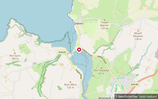 Sea
Y Ferwig put-in (Aberteifi / Cardigan)
Ceredigion, WalesThis slipway sits on the Teifi estuary within the Y Ferwig community, on the Ceredigion bank between Cardigan and Gwbert. It lies about 20 metres from another mapped put-in on the same shoreline, within the River Teifi SSSI and the Cardigan Bay Special Area of Conservation.
 Sea
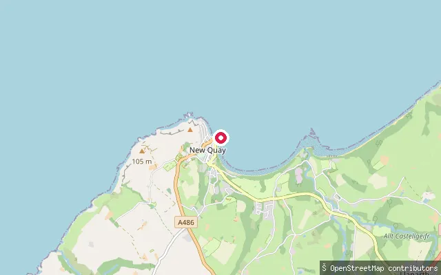
New Quay Harbour slipway
Ceredigion, WalesA slipway at New Quay Harbour, on the Ceredigion coast of Cardigan Bay. Dolau Beach lies just to the west of the harbour, and Traeth Gwyn is a sandy beach at the eastern end of the bay.
 Sea
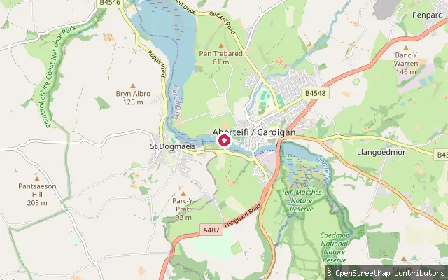
Netpool Slipway
Ceredigion, WalesNetpool Slipway is a concrete boat launch on the Teifi estuary downstream of Cardigan's old bridge. Local signage asks boats to stay at least 10 metres from the bank and to keep to 8 knots, since the area is one of several stretches of the estuary where otters are active.
 Sea
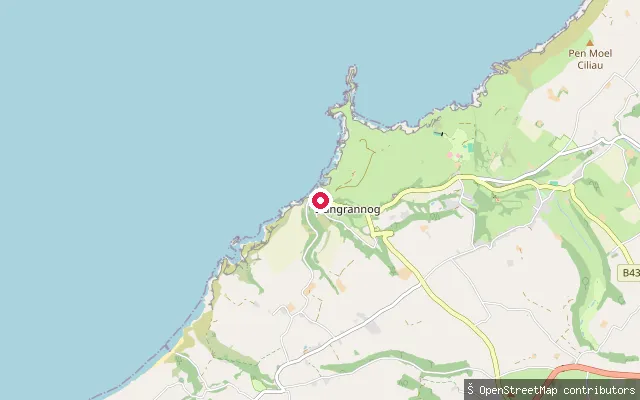
Llangrannog Beach slipway
Ceredigion, WalesA slipway at Llangrannog, a village on the Ceredigion coast of Cardigan Bay, on the stretch of coast between Aberporth to the south and New Quay to the north. A local operator hires out kayaks from the beach.
 Sea
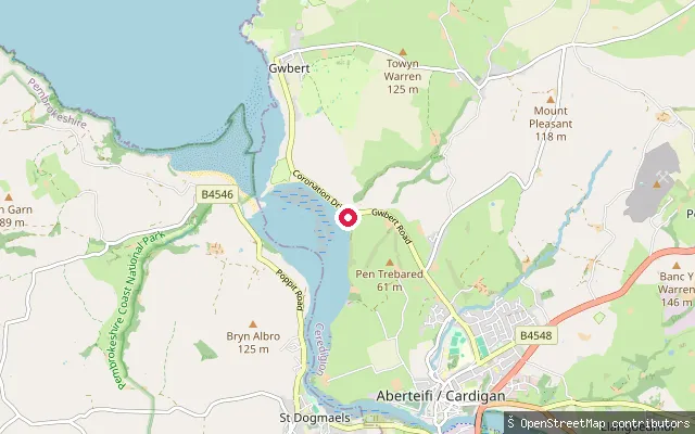
Cardigan put-in, Teifi Estuary
Ceredigion, WalesThis unnamed slipway sits on the Teifi estuary between Cardigan and Gwbert, within the Y Ferwig community on the estuary's Ceredigion bank. The estuary here carries SSSI designation and lies within the Cardigan Bay Special Area of Conservation.
 River
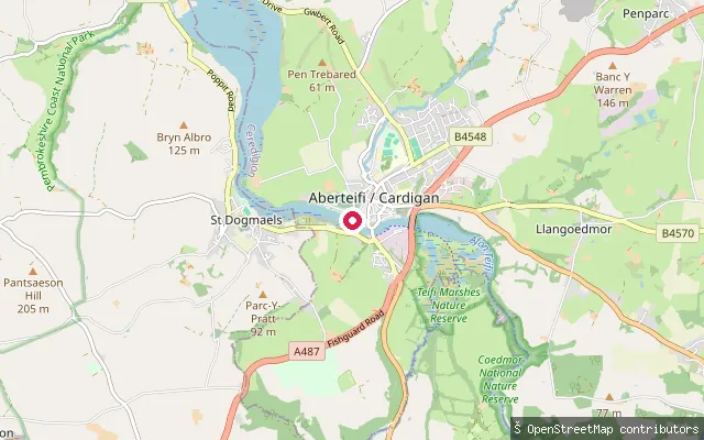
Cardigan put-in, below Cardigan Castle
Ceredigion, WalesThis slipway is on the tidal River Teifi within Cardigan, downstream of the old bridge and close to the town's historic quay below Cardigan Castle. The river carries SSSI designation through the town and lies within the Cardigan Bay Special Area of Conservation.
 Sea
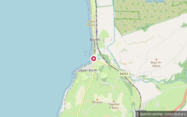
Borth Beach Slipway
Ceredigion, WalesThe slipway is at the southern end of Borth's beach on Cardigan Bay, below the cliffs of Craig yr Wylfa, which the council says shelter that end from the prevailing south westerly winds. The beach runs for almost three miles along the bay, and a community information site lists sailing and canoeing among its uses.
 River
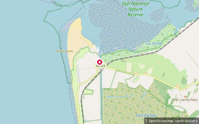
Ynyslas Boatyard Slipway
Ceredigion, WalesYnyslas Boatyard sits on the canalised Afon Leri a short way upstream of where the river opens into the Dyfi estuary at Ynyslas. The channel is tidal along its whole engineered length, the yard runs a slipway hoist for launching and storage, and Borth Rowing Club keeps and launches its boat here.
 Sea
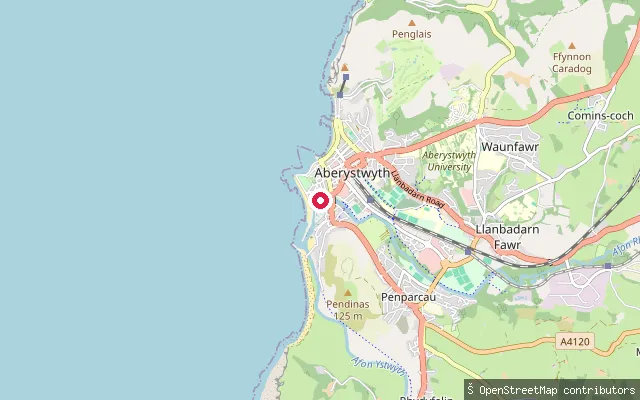
Aberystwyth Marina Slipway
Ceredigion, WalesA slipway in Aberystwyth Harbour, the joint outlet of the Afon Rheidol and Afon Ystwyth.
 Sea
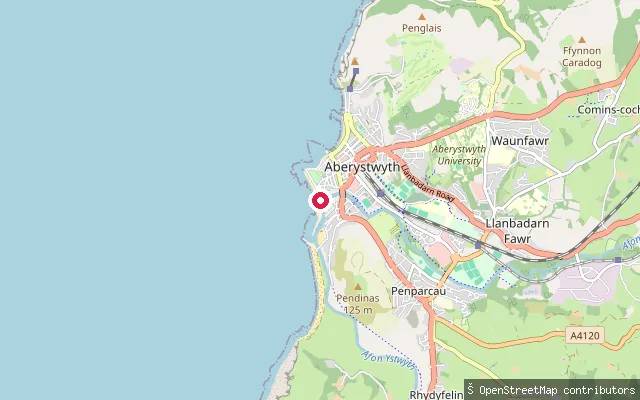
Aberystwyth Harbour Slipway, South Beach
Ceredigion, WalesA slipway on Aberystwyth's South Beach seafront, close to the harbour where the Afon Rheidol and Afon Ystwyth reach Cardigan Bay.
 Sea
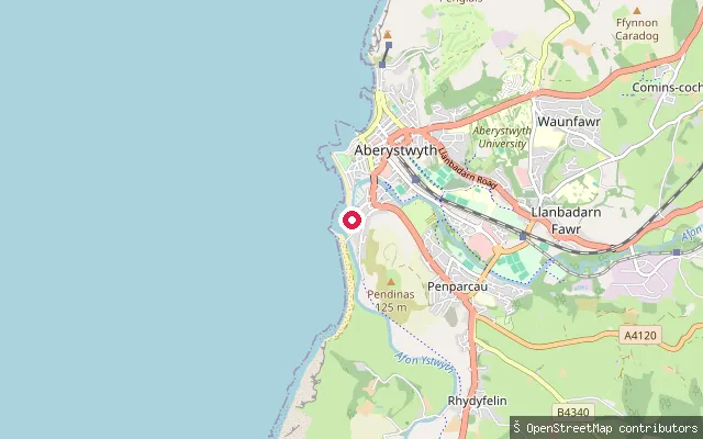
Aberystwyth Harbour Slipway, near Aberystwyth University Boat House
Ceredigion, WalesA slipway inside Aberystwyth Harbour on Cardigan Bay, about 50 metres from the Aberystwyth University boathouse.
 Sea
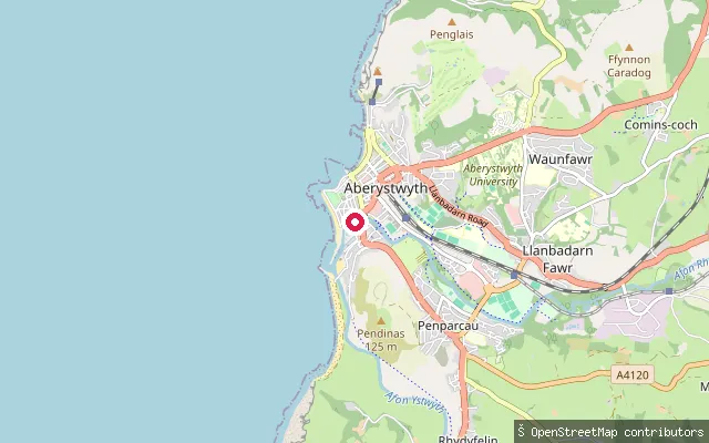
Aberystwyth Harbour Slipway
Ceredigion, WalesA slipway within Aberystwyth Harbour, where the tidal lower reaches of the Afon Ystwyth and Afon Rheidol meet Cardigan Bay.
 Sea
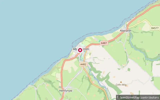
Aberaeron Harbour slipway
Ceredigion, WalesAberaeron Harbour is a small stone-walled tidal harbour at the mouth of the River Aeron on Cardigan Bay, with an outer basin and a sheltered inner pool. The slipway sits in the middle of the town.
 Sea
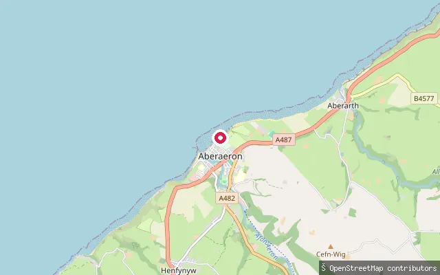
Aberaeron North Beach slipway
Ceredigion, WalesNorth Beach is a shingle beach on Cardigan Bay, north of Aberaeron harbour.
Save your own spots
Keep the places you launch, check the wind and shelter before you go, and log every paddle. Add a spot to the directory too, and other paddlers will find it. Free to start.
Some launch spots in this directory are seeded from open data. © OpenStreetMap contributors · Open Database Licence (ODbL) · Machine-readable copy