Paddleboarding spots in Carmarthenshire
14 launch spots across Carmarthenshire
Many inland waterways need a licence to paddle. Check with Paddle Cymru before you go.
Every mapped spot in Carmarthenshire
Zoom in to split a cluster; open a pin for the spotMap of every spot in Carmarthenshire
The interactive map opens on any device with JavaScript. The full list of launch spots is below.
Launch spots
Showing 14 of 14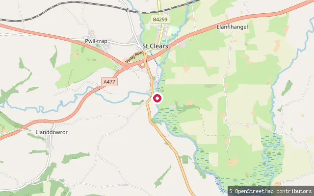 River
RiverSt Clears boatyard slipway
Carmarthenshire, WalesThis slipway sits on the Afon Cynin (River Cynin) beside a small boatyard just south of St Clears, close to where the Cynin joins the River Taf. Natural Resources Wales runs a level-monitoring gauge at the nearby B4299 road bridge.
 Sea
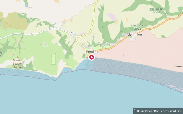
SeaPendine Sands slipway
Carmarthenshire, WalesThis slipway on Marsh Road gives access to Pendine Sands, a beach on Carmarthen Bay that runs east toward the Taf estuary. The Ministry of Defence operates part of the beach and adjoining sea as the Pendine weapons range, closing it with red flags during test firing. Sea conditions here are tidal, with the water receding a long way out at low tide.
 Sea
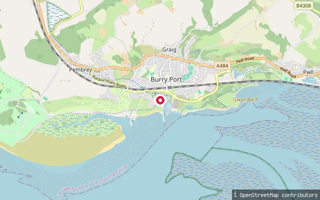
SeaBurry Port Harbour slipway (west)
Carmarthenshire, WalesThis slipway sits on the Loughor Estuary shore beside Burry Port Harbour, near a car park on the Millennium Coastal Path. Burry Port Marina Ltd, which operates the harbour, runs a tidal gate roughly two and a half hours either side of high water on spring tides.
 Sea
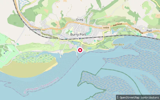
SeaBurry Port Harbour slipway
Carmarthenshire, WalesThis slipway sits at Burry Port Harbour, at the mouth of the Loughor Estuary where it opens into Carmarthen Bay. Burry Port Marina Ltd operates the harbour's slipways, and its tidal gate runs for roughly two and a half hours either side of high water on spring tides; a first-hand paddling account notes sandbanks that churn the water near the estuary mouth.
 Sea
SeaNo. 3 Slip
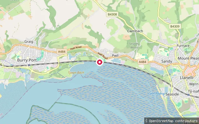
Carmarthenshire, WalesNo. 3 Slip is a concrete slipway onto the Loughor Estuary shore near Pwll, on the Millennium Coastal Path west of Llanelli, on the site of the town's former industrial coastline. Access carries no fee.
 Lake
LakeLlyn Brianne dam slipway
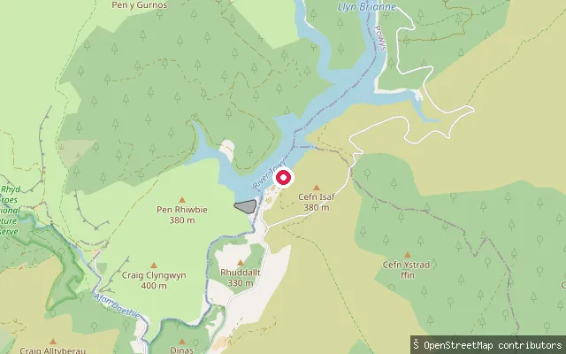
Carmarthenshire, WalesThis slipway sits by the dam at Llyn Brianne, a reservoir in the Cambrian Mountains above Rhandirmwyn built in the early 1970s to regulate flow in the River Tywi. Welsh Water, which operates the reservoir, has prohibited all watercraft including kayaks and canoes since bylaws took effect in April 2011.
 Sea
SeaNorth Dock, Llanelli (east slipway)
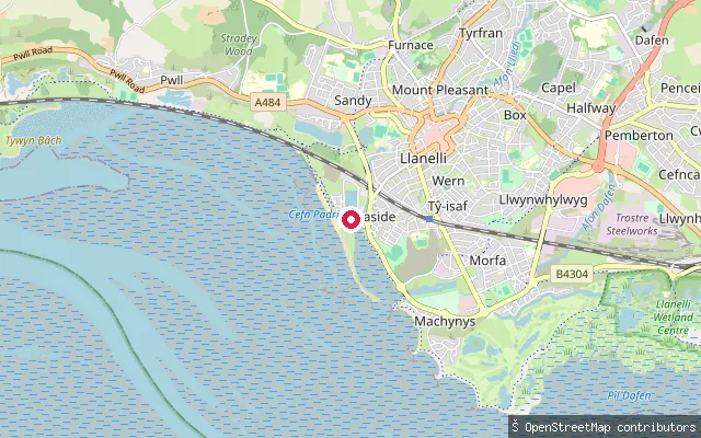
Carmarthenshire, WalesNorth Dock is a former coal and tinplate export dock in Llanelli, now an enclosed sheltered basin roughly 200 metres by 120 metres used for paddling and other watersports. Carmarthenshire County Council's Actif Sport and Leisure service runs bookable paddleboard sessions here, and the dock's enclosed setting keeps it free of the tidal currents found on the open estuary outside.
 Sea
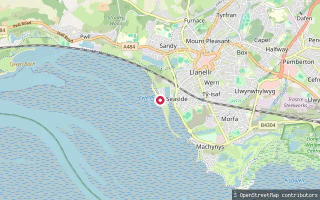
SeaMillennium Coastal Path slipway, Seaside
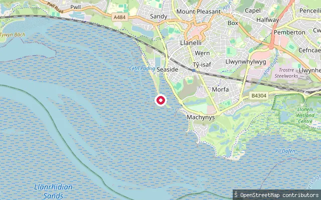
Carmarthenshire, WalesThis slipway opens onto the Loughor Estuary shore in the Seaside area of Llanelli, south of North Dock, on the Millennium Coastal Path. The estuary, also known as the Burry Inlet, has a wide tidal range and exposes extensive sandbanks at low water.
 Sea
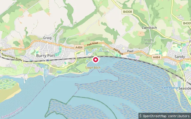
SeaNorth Dock, Llanelli (west slipway)
Carmarthenshire, WalesNorth Dock is a former coal and tinplate export dock in Llanelli, now an enclosed sheltered basin roughly 200 metres by 120 metres used for paddling and other watersports. This slipway sits on the western side of the dock, near Millennium Quay car park, from where Carmarthenshire County Council's Actif Sport and Leisure service runs bookable paddleboard sessions.
 Sea
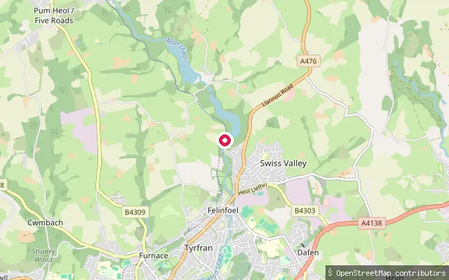
SeaPwll slipway, Millennium Coastal Path
Carmarthenshire, WalesThis slipway opens onto the Loughor Estuary shore near Pwll, on the Millennium Coastal Path between Llanelli and Burry Port. The estuary here has a wide tidal range and exposes broad sandbanks at low water.
 Lake
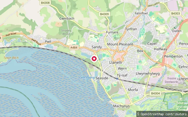
LakeSwiss Valley Reservoir (Lower Lliedi) launch pontoon
Carmarthenshire, WalesThis is a floating launch pontoon with ramped access for kayaks and paddleboards on the Lower Lliedi Reservoir, also known as Swiss Valley Reservoir, near Felinfoel outside Llanelli. Llanelli Rural Council manages the site under a community adoption agreement with Dwr Cymru Welsh Water, and a self-launch paddling scheme is operated by LiveFree Adventures.
 Sea
SeaSeaside slipway, Loughor Estuary
Carmarthenshire, WalesThis slipway sits on the Loughor Estuary shore in the Seaside area of Llanelli, on the Millennium Coastal Path between the town and Pembrey. The estuary, also known as the Burry Inlet, has a tidal range of around 8 metres and exposes wide sandbanks at low water. A near-identical slipway is mapped 73 metres away and may be the same launch point recorded twice.
 River
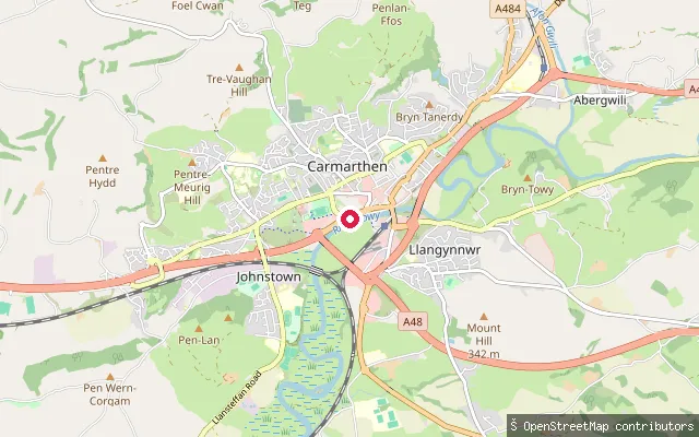
RiverCarmarthen Quay slipway
Carmarthenshire, WalesThis slipway meets the River Tywi (also spelt Towy) in Carmarthen, near the Quay and Carmarthen Rowing Club. The river is tidal here; a paddling route downstream to Ferryside is typically timed to start on a rising tide, and the estuary widens past mudflats and saltmarsh favoured by wading birds.
 River
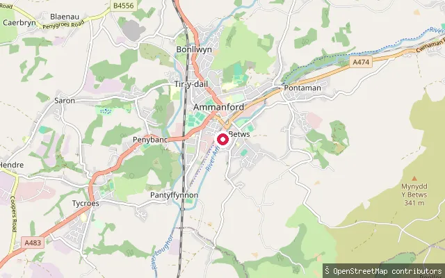
RiverRiver Amman slipway
Carmarthenshire, WalesThis slipway is on the River Amman (Afon Aman) in Betws, on the edge of Ammanford. The Amman is a short upland spate river that rises on the Black Mountain and joins the River Loughor a little further downstream at Pantyffynnon.
Save your own spots
Keep the places you launch, check the wind and shelter before you go, and log every paddle. Add a spot to the directory too, and other paddlers will find it. Free to start.
Some launch spots in this directory are seeded from open data. © OpenStreetMap contributors · Open Database Licence (ODbL) · Machine-readable copy