Paddleboarding spots in Gwynedd
45 launch spots across Gwynedd
Many inland waterways need a licence to paddle. Check with Paddle Cymru before you go.
Every mapped spot in Gwynedd
Zoom in to split a cluster; open a pin for the spotMap of every spot in Gwynedd
The interactive map opens on any device with JavaScript. The full list of launch spots is below.
Launch spots
Showing 24 of 45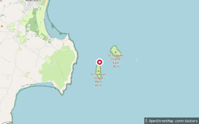 Sea
SeaYnys Tudwal Fawr slipway
Gwynedd, WalesThis slipway sits on Ynys Tudwal Fawr (St Tudwal's Island West), a small island in Tremadog Bay off the Llŷn Peninsula south of Abersoch. The island lies in Gwynedd, not Isle of Anglesey, despite the source data's county-name label.
 Sea
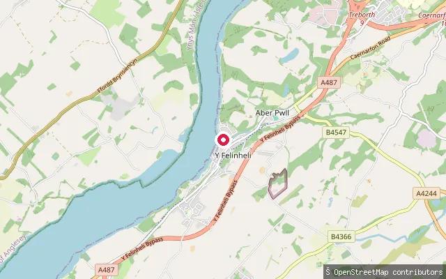
SeaY Felinheli Slipway (north)
Gwynedd, WalesA slipway on the Menai Strait at the northern edge of Y Felinheli on the Gwynedd shore. This reach of the strait lies within the Menai Strait and Conwy Bay Special Area of Conservation.
 Sea
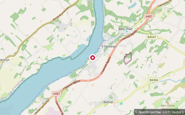
SeaY Felinheli Slipway (Glan y Môr)
Gwynedd, WalesA slipway on the Menai Strait at Y Felinheli, reached off the residential street Glan y Môr on the Gwynedd shore. This reach of the strait lies within the Menai Strait and Conwy Bay Special Area of Conservation.
 Sea
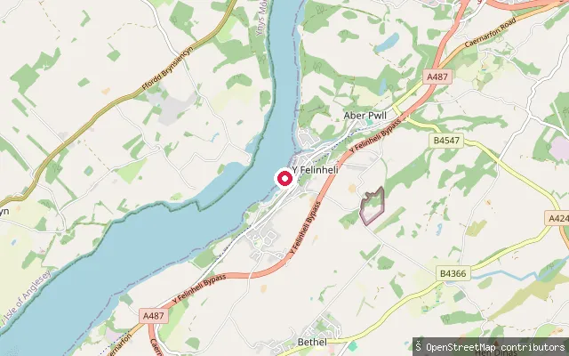
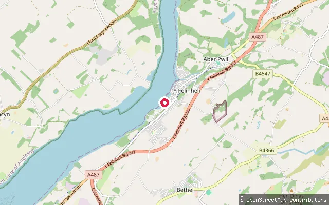
SeaY Felinheli Slipway (central)
Gwynedd, WalesA slipway on the Menai Strait at Y Felinheli, a former slate port on the Gwynedd shore now used for sailing and paddlesport. The Menai Strait and Conwy Bay Special Area of Conservation covers the water along this stretch.
 Sea
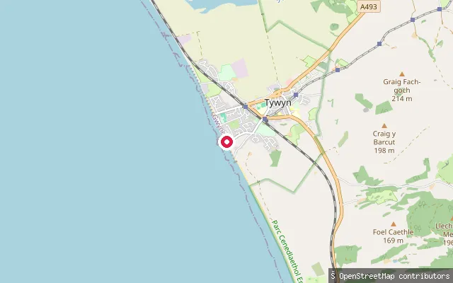
SeaY Felinheli Slipway (south)
Gwynedd, WalesA slipway on the Menai Strait on the Gwynedd shore at Y Felinheli, close to Dinas Boat Yard's large slipway on Beach Road. The strait runs a strong tidal stream along this stretch, which lies within the Menai Strait and Conwy Bay Special Area of Conservation.
 Sea
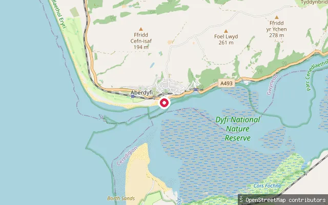
SeaTywyn put-in
Gwynedd, WalesThis slipway lies on the open sandy beach between Tywyn and Aberdyfi, on the Cardigan Bay coast. The beach here faces west into the Atlantic swell and is popular with surfers, with the section south towards Aberdyfi the busier stretch.
 Sea
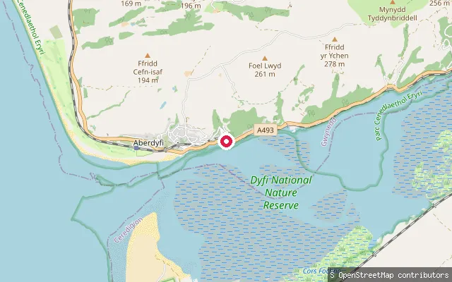
SeaTyddyn Rhys y Gader put-in (Aberdyfi)
Gwynedd, WalesThis slipway sits on the Dyfi Estuary shore east of Aberdyfi village and is marked on nautical charts as a small-craft facility. It reaches the tidal estuary channel rather than open sea.
 Sea
SeaPwllhelyg put-in (Aberdyfi)
Gwynedd, WalesThis concrete slipway lies on the Dyfi Estuary's north shore a short distance east of Aberdyfi village, reached along the public footpath Aberdyfi FP 31. The estuary is tidal here, with saltmarsh and mudflats exposed at low water before the channel opens into Cardigan Bay at Aberdyfi harbour.
 Sea
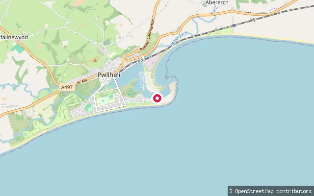
SeaHafan Pwllheli Slipway
Gwynedd, WalesThis slipway sits within the Hafan Pwllheli marina complex on the tidal harbour at Pwllheli, on the Llŷn Peninsula in Gwynedd. The harbour forms where the Afon Erch and Afon Rhyd-hir meet the sea, and Gwynedd Council owns it as harbour authority while Hafan Pwllheli runs the marina's 400-plus pontoon berths.
 Sea
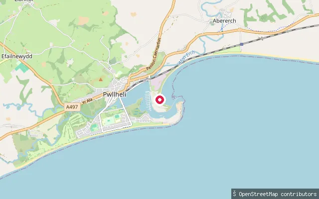
SeaPwllheli Lifeboat Station Slipway
Gwynedd, WalesThis slipway sits beside Pwllheli Lifeboat Station on Marinaland, close to the mouth of Pwllheli Harbour on the Llŷn Peninsula. The harbour is a tidal basin where the Afon Erch and Afon Rhyd-hir meet the sea, owned and run by Gwynedd Council as harbour authority. The Welsh National Sailing Academy, Plas Heli, also operates from this stretch of shore.
 Sea
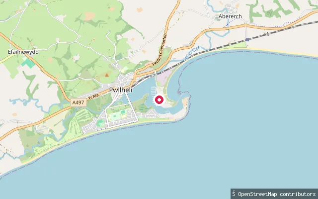
SeaPwllheli Harbour Slipway
Gwynedd, WalesThis slipway sits on the rock edge of the outer harbour at Pwllheli, on the Llŷn Peninsula coast in Gwynedd. Pwllheli Harbour is a tidal basin at the meeting of the Afon Erch and Afon Rhyd-hir, dredged and owned by Gwynedd Council. Hafan Pwllheli marina, with its pontoon berths, lies just to the south.
 Sea
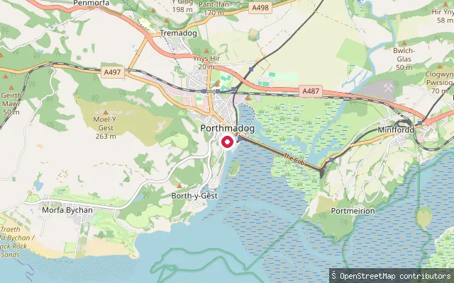
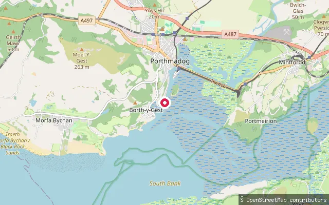
SeaGreaves Wharf slipway, Porthmadog
Gwynedd, WalesGreaves Wharf is a historic slate wharf on Porthmadog Harbour, its slipway on the harbour wall a short walk from the town centre. The wharves here date to the 1820s, when William Madocks began exporting slate from the newly built harbour, and the water is the tidal Afon Glaslyn estuary running down to Tremadog Bay.
 Sea
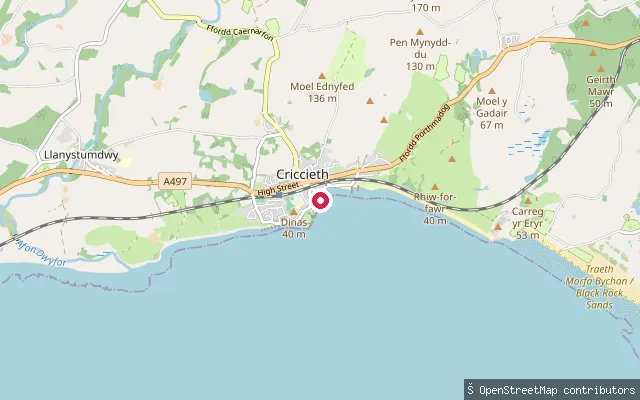
SeaPorthmadog Harbour slipway (Pen y Banc)
Gwynedd, WalesThis slipway sits on Pen y Banc at the edge of Porthmadog Harbour, the tidal mouth of the Afon Glaslyn behind the Cob embankment built in 1811. The harbour opens south-west into Tremadog Bay and today is used mainly by two local sailing clubs.
 Sea
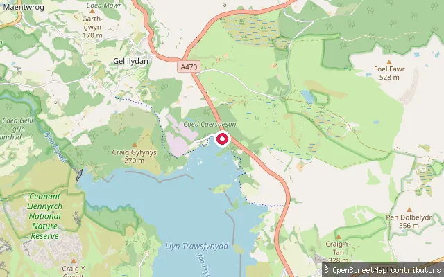
SeaCriccieth slipway (Lôn Felin)
Gwynedd, WalesThis is the slipway on Lôn Felin opposite Criccieth's RNLI lifeboat station, launching onto the pebble beach beside Criccieth Castle on Cardigan Bay. The main slipway here is usable around high tide, and Gwynedd Council dropped its daily launch fee in 2012.
 Sea
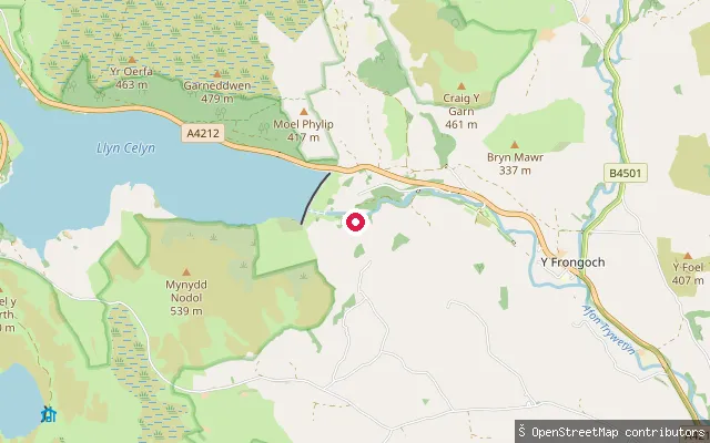
SeaAfon Dwyryd slipway, Maentwrog
Gwynedd, WalesThis slipway gives steps down onto the tidal Afon Dwyryd at Maentwrog, where the river becomes a long, sandy estuary running down to join the Glaslyn's estuary and Porthmadog Bay. Paddlers can work upstream toward the village, but craft do not usually continue past the road bridge because the Maentwrog hydro-electric power station above the village periodically releases water there.
 River
RiverAfon Tryweryn put-in, near Llidiardau
Gwynedd, WalesA whitewater put-in on the Afon Tryweryn upstream of the National White Water Centre, close to the hamlet of Llidiardau near Frongoch. This reach is dam-controlled from the Llyn Celyn reservoir, giving reliable summer flows on a stretch generally graded up to class 3/4.
 River
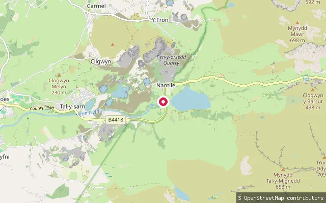
RiverLlanllyfni put-in (Tal-y-sarn)
Gwynedd, WalesThis put-in on the Afon Llyfni sits near Talysarn in the Nantlle valley. The river rises near Snowdon, forms properly at the outlet of Llyn Nantlle Uchaf, and runs past former slate workings before reaching the sea at Pontllyfni. The stretch below Talysarn is paddled as a whitewater run whose character varies with water level.
 Sea
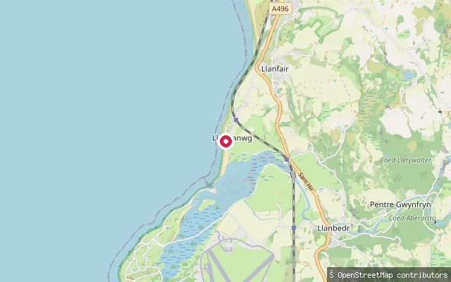
SeaMochras Causeway slipway, Llanbedr (mainland side)
Gwynedd, WalesThis slipway sits at the mainland end of the Mochras Causeway, the tidal crossing of the Afon Artro estuary that links the coast near Llandanwg to Shell Island (Mochras). The estuary took its present course in 1819, when the river was diverted here to serve the slate wharf at Pensarn, and the causeway itself is usable by vehicle only at low tide.
 River
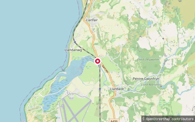
RiverSarn Hir slipway, Llanfair
Gwynedd, WalesThis slipway sits beside Sarn Hir near Pant Goleu, in the Llanfair community, on the Afon Artro a little upstream of the tidal causeway to Shell Island. The river was diverted to its present coastal mouth in 1819 and rises inland at Llyn Cwm Bychan below Rhinog Fawr.
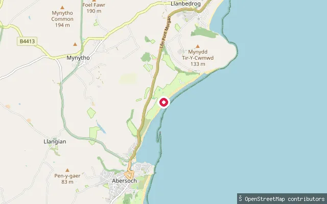
Sarn Bach roadside slipway (unverified)
Gwynedd, WalesThis OSM slipway node sits on the A499 at Sarn Bach, a road junction hamlet roughly 1.7 km inland from Abersoch harbour, with no lake, river or coastline mapped nearby.
 Sea
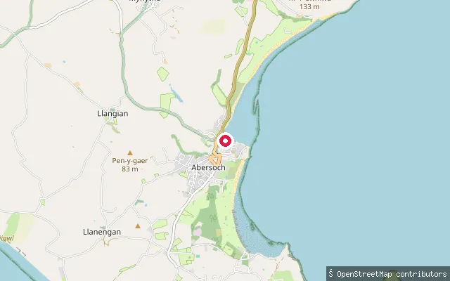
SeaAbersoch Harbour put-in (Lon Pen Cei)
Gwynedd, WalesThis slipway sits on Lon Pen Cei at Abersoch's inner harbour, part of a tight cluster of mapped harbour access points where the tidal Afon Soch meets the sea.
 Sea
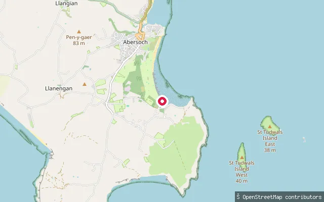
SeaMachroes Beach put-in (Lon Golff)
Gwynedd, WalesThis slipway on Lon Golff in the Bwlchtocyn hamlet serves Machroes Beach, the quieter southern continuation of Abersoch's beach backed by Abersoch Golf Club, with wooden groynes crossing the sand and the tide reference given as St Tudwal's Roads.
 Sea
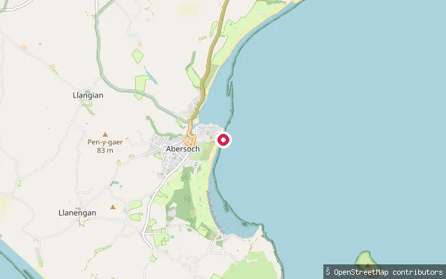
SeaAbersoch Harbour Beach put-in (Lon Traeth)
Gwynedd, WalesThis slipway sits on Lon Traeth in Abersoch village, close to Harbour Beach, a small area of sand straddling the tidal Afon Soch between the outer harbour and Warren Beach. Large tidal fluctuations expose sand at low water, and the recognised tide reference for the area is St Tudwal's Roads.
 Sea
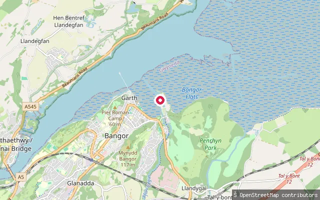
SeaAbercegin Slipway
Gwynedd, WalesA slipway on the shore of Traeth Lafan (Lavan Sands), the wide tidal sand and mud flat that fills the eastern Menai Strait between Bangor and Llanfairfechan. The point sits at Abercegin, near the mouth of the Afon Cegin in Llandygai parish. Traeth Lafan is a protected site for wintering waders and wildfowl, including large oystercatcher and curlew roosts.
Save your own spots
Keep the places you launch, check the wind and shelter before you go, and log every paddle. Add a spot to the directory too, and other paddlers will find it. Free to start.
Some launch spots in this directory are seeded from open data. © OpenStreetMap contributors · Open Database Licence (ODbL) · Machine-readable copy