Paddleboarding spots in Flintshire
6 launch spots across Flintshire
Many inland waterways need a licence to paddle. Check with Paddle Cymru before you go.
Every mapped spot in Flintshire
Zoom in to split a cluster; open a pin for the spotMap of every spot in Flintshire
The interactive map opens on any device with JavaScript. The full list of launch spots is below.
Launch spots
Showing 6 of 6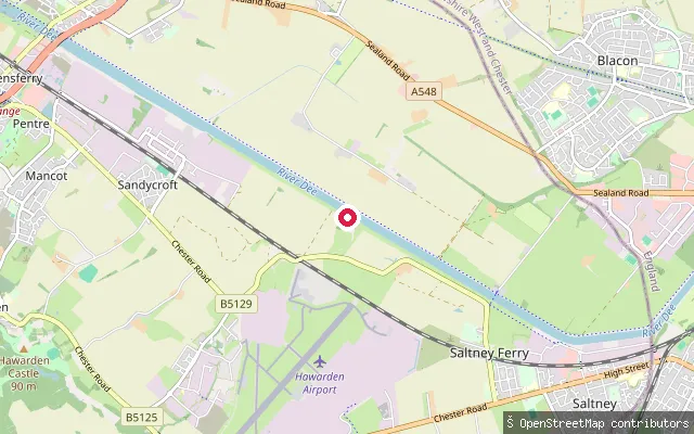 River
RiverAirbus Jetty
Flintshire, WalesOpenStreetMap maps this slipway as part of the Airbus Jetty, a purpose-built pier on the River Dee near Saltney once used to load aircraft wings onto barges for the journey downriver to Mostyn Docks. It sits within an active industrial site rather than a public launch point, and there is no evidence it is open for recreational paddling.
 Sea
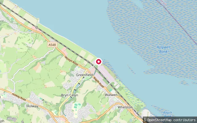
SeaGreenfield Dock
Flintshire, WalesThis is a second OSM-mapped point at Greenfield Dock on the Dee Estuary, about 85 metres from way/249617120; the two are likely the same slipway captured twice by the harvester. See that entry for dock history and access notes.
 Sea
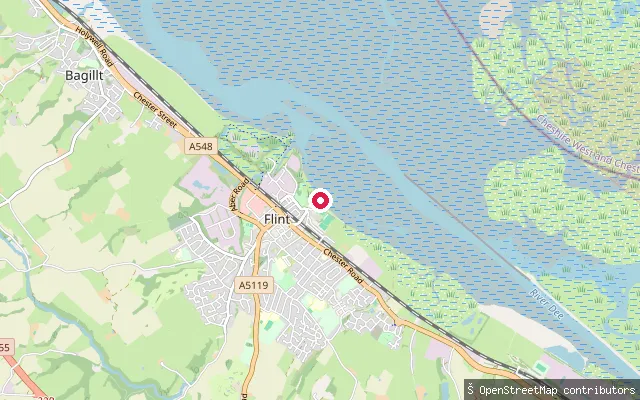
SeaFlint put-in
Flintshire, WalesThis put-in sits on the Dee Estuary shoreline below Flint Castle, where the estuary's tidal sand and mud flats stretch out toward the Wirral shore. A slipway at the end of the lane beside the New Cut here is currently closed behind a padlocked gate, with access enquiries directed to the RNLI's Flint lifeboat station. The estuary carries one of the largest tidal ranges in the world, so a launch window is tied closely to the state of the tide.
 River
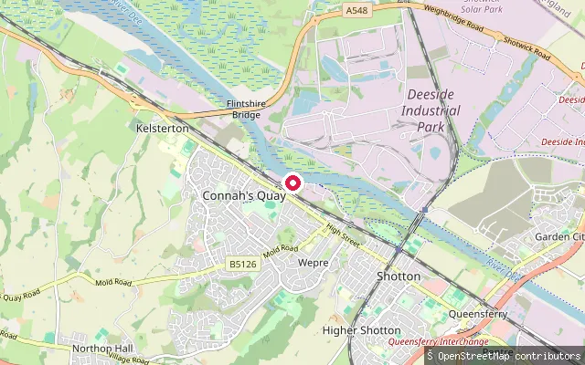
RiverConnah's Quay put-in
Flintshire, WalesThis is a second small slipway on the River Dee at Connah's Quay, close to Quay Park and roughly 150 metres from another mapped launch point on the same quay frontage. The river is tidal and canalised here, part of the New Cut dug in the 1730s.
 River
RiverConnah's Quay put-in
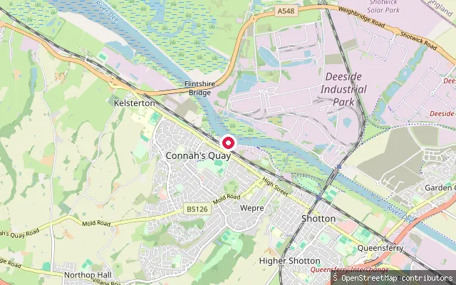
Flintshire, WalesThis slipway sits on the River Dee at Connah's Quay, on the canalised stretch dug as the New Cut in the 1730s to keep the channel navigable for Chester. Connah's Quay is the largest town in Flintshire and its river frontage carries several small slipways used for launching and craft recovery.
 River
RiverConnah's Quay put-in
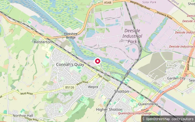
Flintshire, WalesThis is a third small slipway on the River Dee at Connah's Quay, further downstream along the same tidal, canalised stretch of river known historically as the New Cut.
Save your own spots
Keep the places you launch, check the wind and shelter before you go, and log every paddle. Add a spot to the directory too, and other paddlers will find it. Free to start.
Some launch spots in this directory are seeded from open data. © OpenStreetMap contributors · Open Database Licence (ODbL) · Machine-readable copy