Paddleboarding spots in Cardiff
9 launch spots across Cardiff
Many inland waterways need a licence to paddle. Check with Paddle Cymru before you go.
Every mapped spot in Cardiff
Zoom in to split a cluster; open a pin for the spotMap of every spot in Cardiff
The interactive map opens on any device with JavaScript. The full list of launch spots is below.
Launch spots
Showing 9 of 9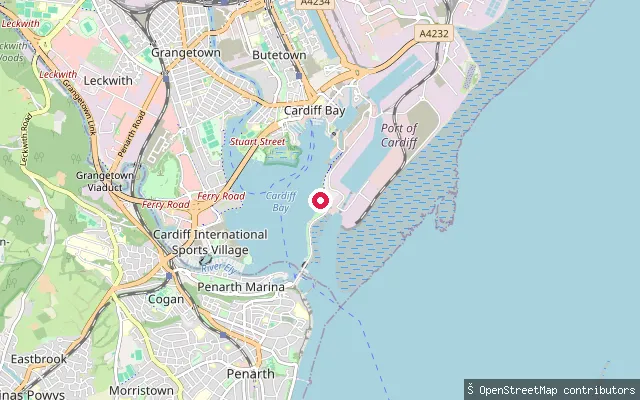 Lake
LakeSailing Centre Slipway
Cardiff, WalesThis slipway serves Cardiff Bay, the freshwater lake formed in 1999 when the Cardiff Bay Barrage impounded the tidal Taff and Ely estuaries. It sits close to the Cardiff International Sports Village, home to watersports facilities including Cardiff Bay Yacht Club and Cardiff Sailing Centre.
 Lake
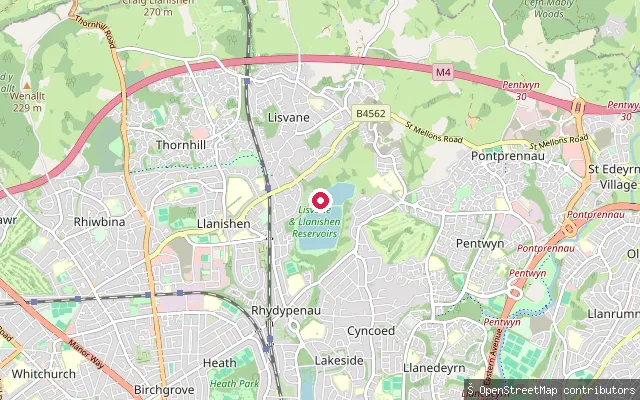
LakeLlanishen Reservoir
Cardiff, WalesLlanishen Reservoir is a Victorian drinking-water reservoir in north Cardiff, completed in 1886 and used for public water supply until the mid-1970s. It is now run by Welsh Water as a watersports venue offering sailing, canoeing, kayaking and paddleboarding through a booked, permit-based self-launch system.
 Lake
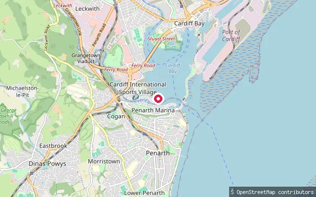
LakeGrangetown put-in
Cardiff, WalesThis slipway sits on Cardiff Bay right by Cardiff Bay Yacht Club on the Cardiff Bay Peninsula, within the Cardiff International Sports Village. The bay is the freshwater lake created by the 1999 Cardiff Bay Barrage.
 Canal
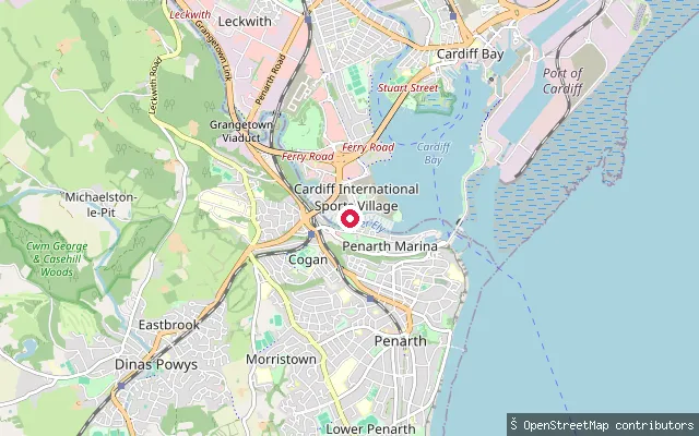
CanalCardiff International White Water slipway
Cardiff, WalesThis slipway serves the Cardiff International White Water course at the Cardiff International Sports Village, an artificial 250m hairpin channel that pumps and recirculates water drawn from the River Ely rather than relying on natural flow. It opened in 2010 and is managed by Cardiff Harbour Authority.
 River
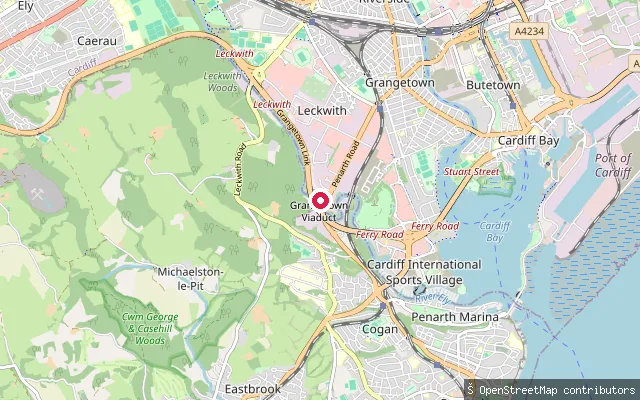
RiverGrangetown put-in
Cardiff, WalesThis slipway sits on the River Ely close to Cardiff Marine Village on Penarth Road, on the arm of the river that lies within Cardiff Bay. Because it is downstream of the Cardiff Bay Barrage, this stretch is impounded and no longer tidal.
 Lake
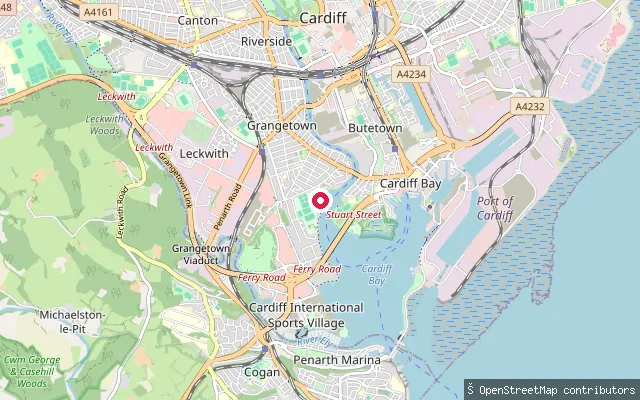
LakeGrangetown put-in
Cardiff, WalesThis slipway sits on Cardiff Bay by the Cardiff International Sports Village, on the Grangetown side of the water. The bay is the freshwater lake formed when the Cardiff Bay Barrage impounded the Taff and Ely estuaries in 1999.
 River
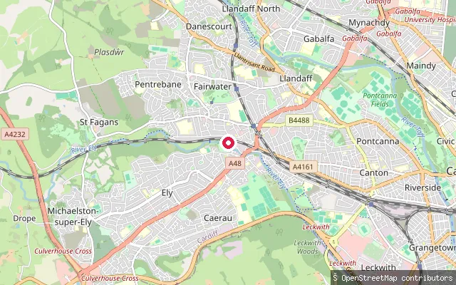
RiverFairwater put-in
Cardiff, WalesThis slipway sits on the River Ely as it passes between the Fairwater and Pentrebane districts of west Cardiff. The river continues downstream through Ely and Leckwith before reaching Cardiff Bay.
 Lake
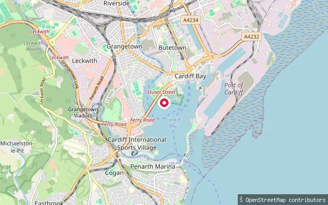
LakeCardiff Bay put-in
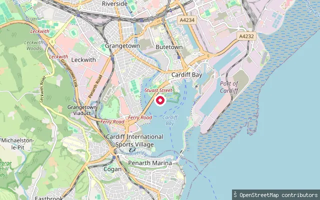
Cardiff, WalesThis put-in sits on Cardiff Bay near Windsor Esplanade and the Cardiff International Sports Village. The bay is a 490-acre freshwater lake formed when the Cardiff Bay Barrage impounded the tidal Taff and Ely estuaries in 1999.
 Lake
LakeWindsor Esplanade put-in (Cardiff Bay)
Cardiff, WalesThis slipway sits on Cardiff Bay at Windsor Esplanade, by the Cardiff International Sports Village. The bay is a 490-acre freshwater lake created when the Cardiff Bay Barrage impounded the tidal estuaries of the Taff and Ely in 1999, so the water here no longer rises and falls with the tide.
Save your own spots
Keep the places you launch, check the wind and shelter before you go, and log every paddle. Add a spot to the directory too, and other paddlers will find it. Free to start.
Some launch spots in this directory are seeded from open data. © OpenStreetMap contributors · Open Database Licence (ODbL) · Machine-readable copy