Paddleboarding in Scotland
Find somewhere to paddle in Scotland. This directory lists launch spots area by area — where to put in, what the parking and access are like, and which shore the wind tends to leave alone. Start with an area below.
Scotland's coastline runs to an estimated 18,743km, with more than 900 islands lying mostly in the Northern Isles and the Hebrides. Long sea lochs cut by glaciers reach deep into the west coast; broad firths such as the Moray Firth shape the east instead. Tides run fast through channels such as the Gulf of Corryvreckan and the Pentland Firth, and Scots law gives paddlers a statutory right of access to inland water as well as the coast, wider than in England and Wales.
Browse by area
28 areas · most-mapped firstRecently added
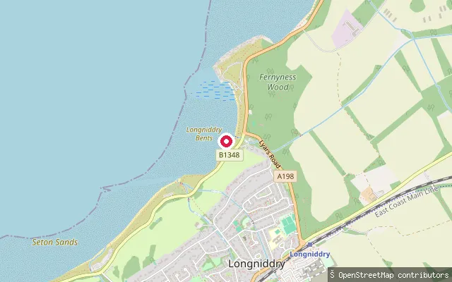
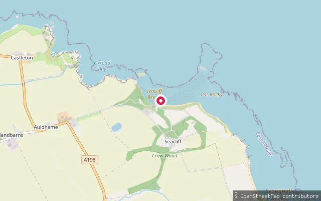
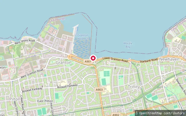
New launch spots mapped across Scotland

Save your own spots
Keep the places you launch, check the wind and shelter before you go, and log every paddle. Add a spot to the directory too, and other paddlers will find it. Free to start.