Paddleboarding spots in Orkney Islands
54 launch spots across Orkney Islands
Every mapped spot in Orkney Islands
Zoom in to split a cluster; open a pin for the spotMap of every spot in Orkney Islands
The interactive map opens on any device with JavaScript. The full list of launch spots is below.
Launch spots
Showing 24 of 54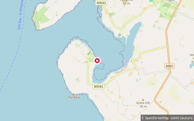 Sea
SeaHerston slipway
Orkney Islands, ScotlandWidewall Bay is an inlet on South Ronaldsay overlooked by the village of Herston, and holds the wreck of the WWI-era ship Monarch. The slipway here is tagged in OpenStreetMap as private, so access may be restricted.
 Sea
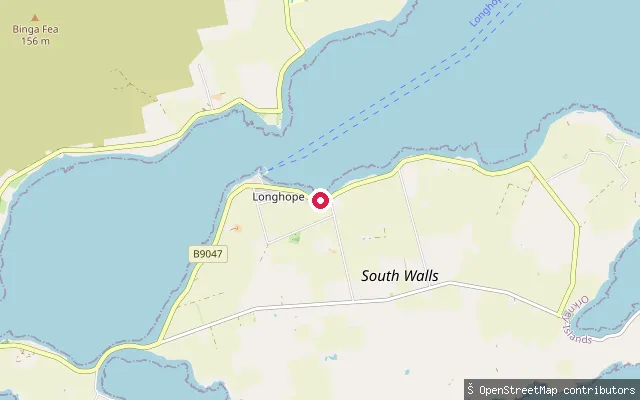
SeaWyng put-in (Longhope)
Orkney Islands, ScotlandThis slipway is in Wyng, a hamlet within Longhope on South Walls, close to where the Longhope inlet narrows toward the Ayre, the causeway that joins South Walls to Hoy.
 Sea
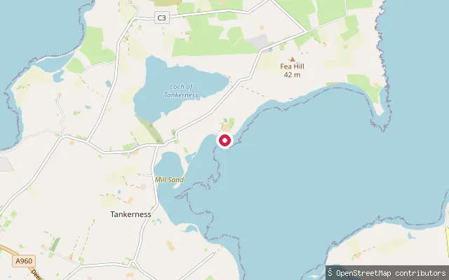
SeaWoodside Cottage put-in
Orkney Islands, ScotlandThis slipway sits on the shore of Deer Sound near Tankerness on Orkney's East Mainland, and takes its name from Woodside Cottage on the road above. Deer Sound is a broad tidal inlet that meets Inganess Bay at Rerwick Head.
 Sea
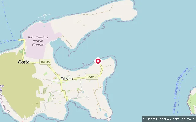
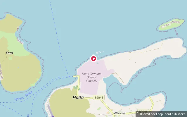
SeaPan Pier, Whome
Orkney Islands, ScotlandThis slipway launches beside Pan Pier, a small stone pier on Hoy's Scapa Flow shore in the hamlet of Whome, recorded as a heritage asset under Canmore reference 307192. It lies close to Lyness, the former Royal Navy base on the same stretch of coast.
 Sea
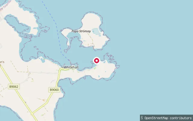
SeaWhome put-in
Orkney Islands, ScotlandThis slipway sits on Hoy's Scapa Flow shore in the small hamlet of Whome, on the B9045 between Lyness and Longhope. OpenStreetMap records a cable winch alongside the slipway, which points to it being used for hauling out craft rather than a simple beach launch.
 Sea
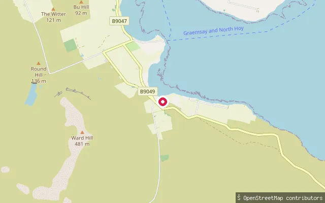
SeaWhitehall put-in
Orkney Islands, ScotlandWhitehall is Stronsay's main village and ferry port, its seafront street framed by two piers facing Papa Sound, the strait between Stronsay and Papa Stronsay. This slipway track sits at the edge of the village, close to the Kirkwall ferry terminal.
 Sea
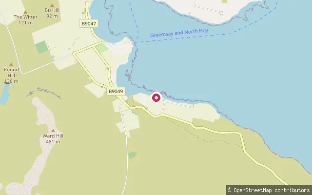
SeaMoaness slipway, Hoy
Orkney Islands, ScotlandA second mapped slipway about 500m from another launch point near Moaness on Hoy's north-west coast, facing Hoy Sound towards Stromness on the Mainland.
 Sea
SeaMoaness slipway, Hoy
Orkney Islands, ScotlandA slipway on Hoy's north-west coast at Moaness, the island's landing point for the passenger ferry that crosses Hoy Sound to Graemsay and Stromness. Development on this side of Hoy is limited to the small pier and the buildings around it.
 Sea
SeaVictoria Street slipway, Stromness
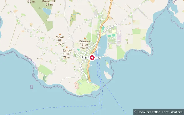
Orkney Islands, ScotlandA slipway off Victoria Street near the north end of the Stromness harbourfront, close to the Pierhead where the John Rae statue stands. The harbour opens onto Hoy Sound and is served by the NorthLink ferry to Scrabster and the passenger ferry to Graemsay and Hoy.
 Sea
SeaStromness Golf Club slipway
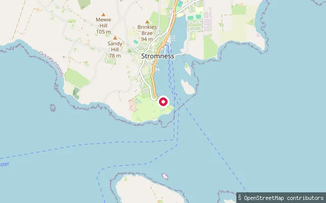
Orkney Islands, ScotlandA slipway beside Stromness golf course on the Point of Ness headland, facing Hoy Sound south of the town. The point marks the strong tidal streams that give Stromness its name.
 Sea
SeaPoint of Ness slipway, Stromness
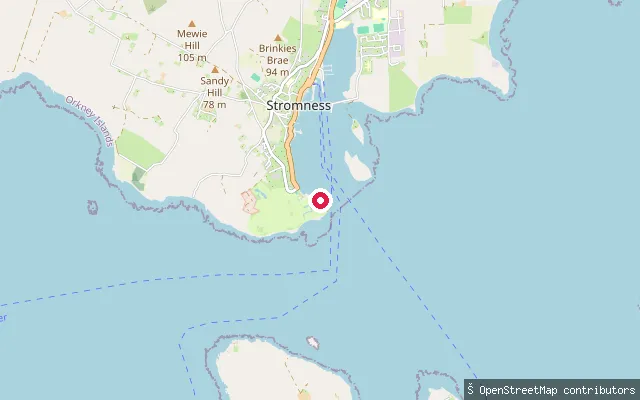
Orkney Islands, ScotlandA slipway near the Point of Ness, the headland south of Stromness that gives the town its name from the strong tidal streams running past it into Hoy Sound. The area includes Stromness golf course and the town cemetery above the shore.
 Sea
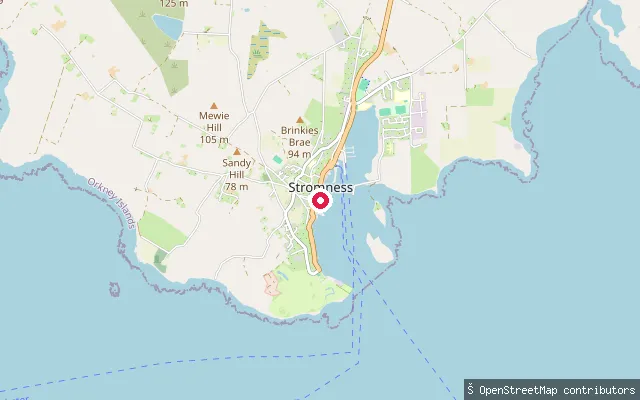
SeaStromness put-in
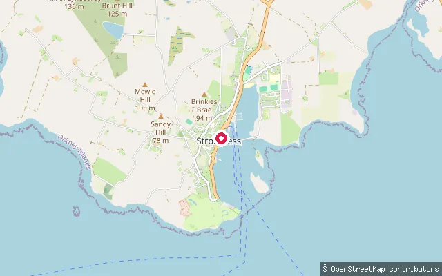
Orkney Islands, ScotlandThis slipway is on Victoria Street in the centre of Stromness, Orkney's west-coast ferry town, launching onto Hoy Sound. The sound carries strong tidal currents between Stromness and the island of Hoy, which gave the town its Old Norse name (from straumr, meaning tidal stream). The NorthLink ferry to Scrabster and the inter-island ferry to Hoy and Graemsay both operate from the harbour nearby.
 Sea
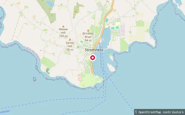
SeaDundas Street slipway, Stromness
Orkney Islands, ScotlandA slipway off Dundas Street on the Stromness harbourfront, close to the town's central pier. The harbour opens onto Hoy Sound.
 Sea
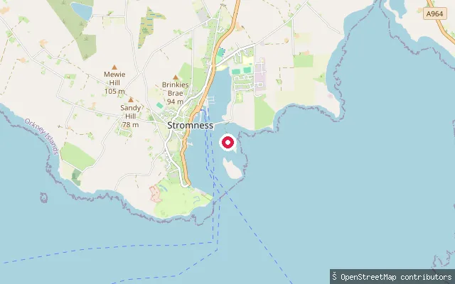
SeaAlfred Street slipway, Stromness
Orkney Islands, ScotlandA slipway off Alfred Street on the Stromness harbourfront, one of several small stone landings along the town's flagstone main street. The harbour opens onto Hoy Sound.
 Sea
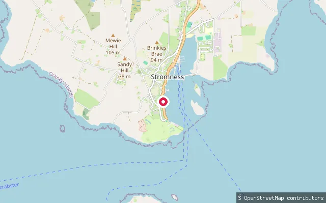
SeaStromness put-in
Orkney Islands, ScotlandThis slipway is at the south end of Stromness, reached along a track that OpenStreetMap marks as passable only at low tide. Like the harbour slipway further north, it launches onto Hoy Sound, the tidal channel between the Mainland and Hoy that gave Stromness its Old Norse name.
 Sea
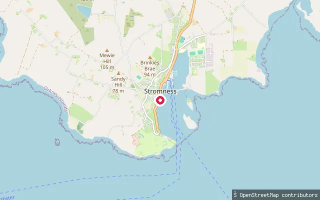
SeaSouth End slipway, Stromness
Orkney Islands, ScotlandA small slipway off South End, the street running along the southern part of Stromness harbourfront. The harbour opens onto Hoy Sound and is served by the NorthLink ferry to Scrabster and the passenger ferry to Graemsay and Hoy.
 Sea
SeaGrays Noust, Stromness
Orkney Islands, ScotlandA named slipway called Grays Noust on the Stromness harbourfront, one of several small stone landings along the town's main street. The harbour opens onto Hoy Sound and is served by ferries to Scrabster, Graemsay and Hoy.
 Sea
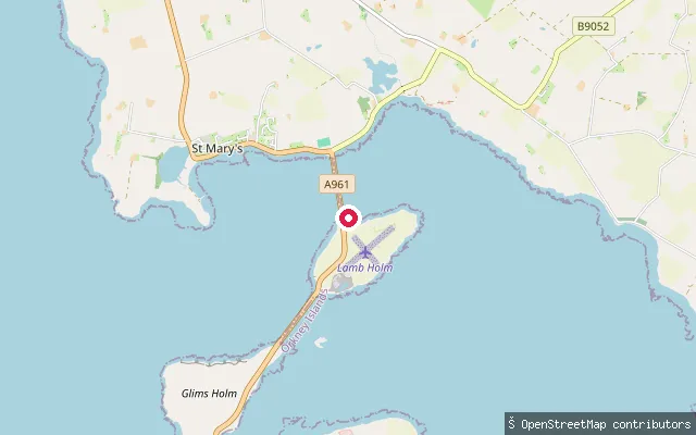
SeaSt Mary's put-in
Orkney Islands, ScotlandThis put-in lies on Lamb Holm, on the Scapa Flow side of the first Churchill Barrier that links the island to Orkney Mainland at St Mary's. The barrier blocks Kirk Sound, once an eastern entrance to the Flow.
 Sea
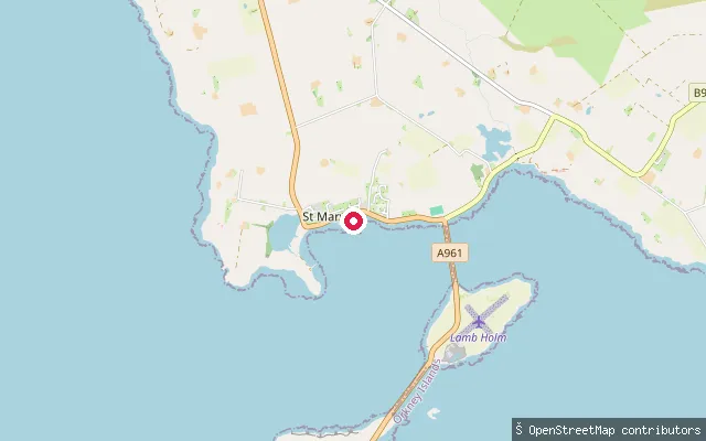
SeaSt Mary's put-in
Orkney Islands, ScotlandThis slipway is in the village of St Mary's in Holm parish, on the shore of the Bay of Ayre, part of Scapa Flow on Orkney Mainland. It sits close to Churchill Barrier No. 1, built to seal the sound after a German U-boat used the eastern approaches to attack Scapa Flow in 1939.
 Sea
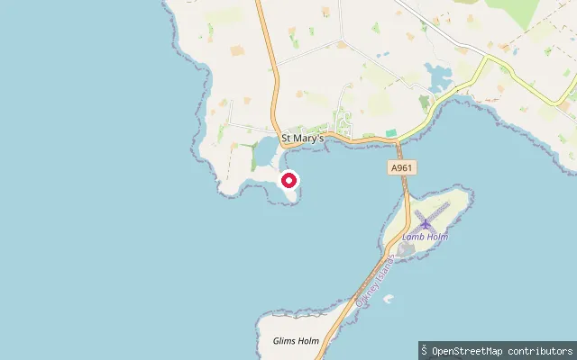
SeaSt Mary's put-in
Orkney Islands, ScotlandSt Mary's is a village on Orkney Mainland immediately north of the first Churchill Barrier, which blocks Kirk Sound, a former eastern approach to Scapa Flow. This put-in sits on the shore here, giving access to the sheltered waters of the Flow.
 Sea
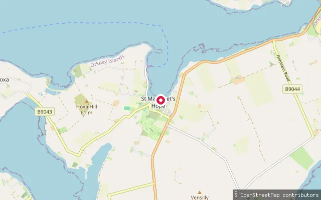
SeaSt Margaret's Hope put-in
Orkney Islands, ScotlandOne of several adjoining cobbled slipways within St Margaret's Hope harbour, South Ronaldsay, on the sheltered bay that gives the village its name.
 Sea
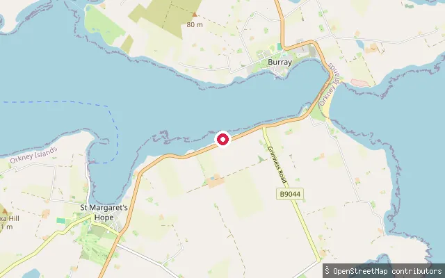
SeaBarrier 4 put-in (Water Sound Bay)
Orkney Islands, ScotlandA slipway beside Churchill Barrier No. 4, the causeway carrying the A961 between Burray and South Ronaldsay across Water Sound. The sound's eastern shore here has silted up into a sandy, crescent-shaped beach known as Water Sound Bay, which has buried the wreck of the blockship Carron, deliberately sunk in 1940.
 Sea
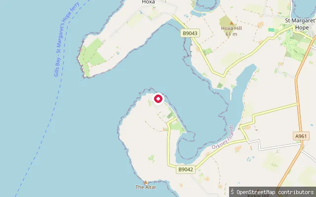
SeaSouth Ronaldsay put-in, Widewall Bay
Orkney Islands, ScotlandA slipway on the shore of Widewall Bay on the west coast of South Ronaldsay, near the village of Herston. Herston overlooks Widewall Bay and was historically a fishing village.
 Sea
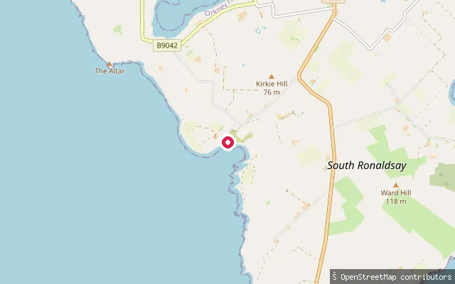
SeaSandwick Bay slipway
Orkney Islands, ScotlandSandwick Bay is a small coastal inlet on South Ronaldsay in Orkney, near the hamlet of Sandwick. A slipway on a short pier here gives direct launch access to the bay.
Save your own spots
Keep the places you launch, check the wind and shelter before you go, and log every paddle. Add a spot to the directory too, and other paddlers will find it. Free to start.
Some launch spots in this directory are seeded from open data. © OpenStreetMap contributors · Open Database Licence (ODbL) · Machine-readable copy