Paddleboarding spots in South Ayrshire
5 launch spots across South Ayrshire
Every mapped spot in South Ayrshire
Zoom in to split a cluster; open a pin for the spotMap of every spot in South Ayrshire
The interactive map opens on any device with JavaScript. The full list of launch spots is below.
Launch spots
Showing 5 of 5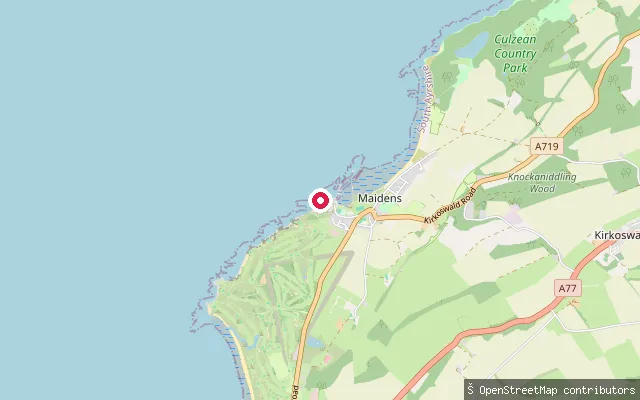 Sea
SeaSlipway (disused)
South Ayrshire, ScotlandThis second slip at Maidens Harbour is mapped by OpenStreetMap as disused, about 250 metres from the harbour's main working slipway, on the same stretch of Firth of Clyde coast near Turnberry and Culzean Castle.
 Sea
SeaMaidens put-in
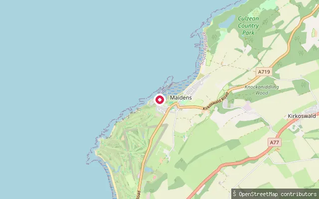
South Ayrshire, ScotlandThis slipway launches from Maidens Harbour on the Firth of Clyde, a small harbour built in the mid-19th century by the Marquess of Ailsa to serve a shipyard and gas works. It grew up around a fishing community once noted for ring-net herring fishing and now sits near Culzean Castle and Turnberry.
 Sea
SeaGirvan put-in
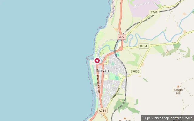
South Ayrshire, ScotlandThis slipway is at Girvan Harbour on South Ayrshire's Firth of Clyde coast, where the River Girvan reaches the sea. It has an asphalt surface with vehicle access and no launch fee, and the harbour itself mainly serves fishing boats alongside some leisure and charter vessels.
 Sea
SeaBarassie put-in (Troon)
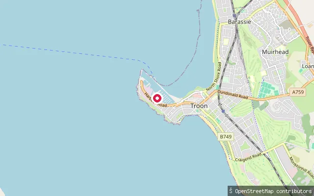
South Ayrshire, ScotlandThis slipway is on Harbour Road in the Barassie part of Troon, next to Troon Yacht Haven marina on the Firth of Clyde. The coast here looks out towards the Isle of Arran and is used for sailing, kitesurfing and windsurfing as well as paddling.
 Sea
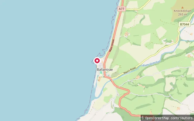
SeaBallantrae put-in
South Ayrshire, ScotlandThis slipway is at Ballantrae Harbour, where the River Stinchar meets Ballantrae Bay on the Firth of Clyde. The slip is tidal, usable for roughly two to three hours either side of high water, and the stone-quayed harbour dates from 1846 when it was a working herring port.
Save your own spots
Keep the places you launch, check the wind and shelter before you go, and log every paddle. Add a spot to the directory too, and other paddlers will find it. Free to start.
Some launch spots in this directory are seeded from open data. © OpenStreetMap contributors · Open Database Licence (ODbL) · Machine-readable copy