Paddleboarding spots in Glasgow City
2 launch spots across Glasgow City
Every mapped spot in Glasgow City
Zoom in to split a cluster; open a pin for the spotMap of every spot in Glasgow City
The interactive map opens on any device with JavaScript. The full list of launch spots is below.
Launch spots
Showing 2 of 2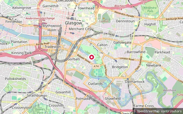 River
RiverGlasgow Green slipway
Glasgow City, ScotlandThis slipway is on the north bank of the River Clyde within Glasgow Green, just above the weir that marks the upper limit of the tidal Clyde. Paddlers have used it as a put-in for trips down through Glasgow city centre and the harbour toward the Firth of Clyde, and river levels here vary with rainfall upstream.
 Canal
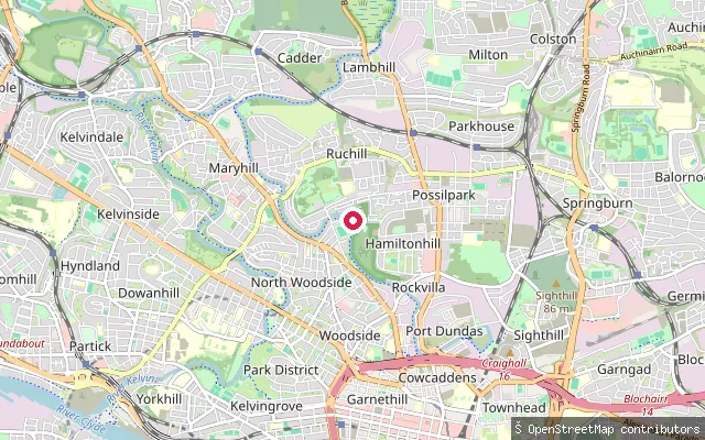
CanalFirhill Basin slipway
Glasgow City, ScotlandFirhill Basin is a basin on the Forth and Clyde Canal in north Glasgow, formed where the canal takes a sharp bend beside Firhill Stadium, home of Partick Thistle FC. A small jetty and slipway on the inside of the bend have historically been used for junior sailing and canoeing sessions, and the towpath here forms part of the wider canal walking and cycling network through the city.
Save your own spots
Keep the places you launch, check the wind and shelter before you go, and log every paddle. Add a spot to the directory too, and other paddlers will find it. Free to start.
Some launch spots in this directory are seeded from open data. © OpenStreetMap contributors · Open Database Licence (ODbL) · Machine-readable copy