Paddleboarding spots in Aberdeenshire
14 launch spots across Aberdeenshire
Every mapped spot in Aberdeenshire
Zoom in to split a cluster; open a pin for the spotMap of every spot in Aberdeenshire
The interactive map opens on any device with JavaScript. The full list of launch spots is below.
Launch spots
Showing 14 of 14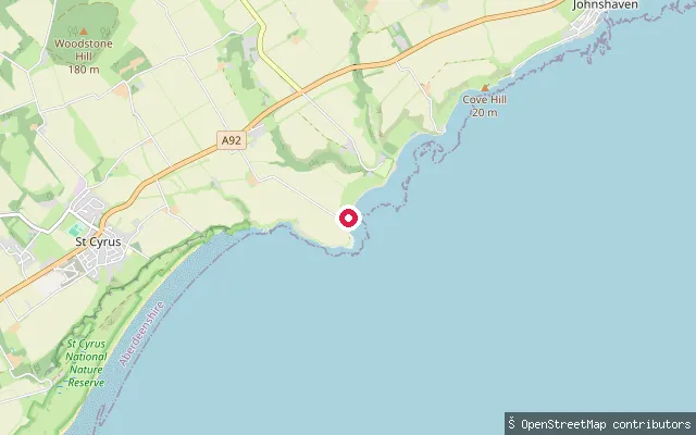 Sea
SeaSt Cyrus beach slipway (Bush)
Aberdeenshire, ScotlandA slipway at Bush, a small hamlet on the coast south of St Cyrus village, close to the mouth of the North Esk and the southern end of St Cyrus National Nature Reserve. The reserve's beach and dune coastline stretches north from here, with the ruined Kaim of Mathers stronghold on rock pinnacles nearby.
 Sea
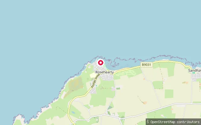
SeaRosehearty Harbour slipway
Aberdeenshire, ScotlandA slipway on Shore Street at Rosehearty's harbour, a fishing village on the Moray Firth coast about four miles west of Fraserburgh. A crescent-shaped beach runs east from the harbour towards a line of rocky outcrops including Long Craig and Hungry Hoy.
 Sea
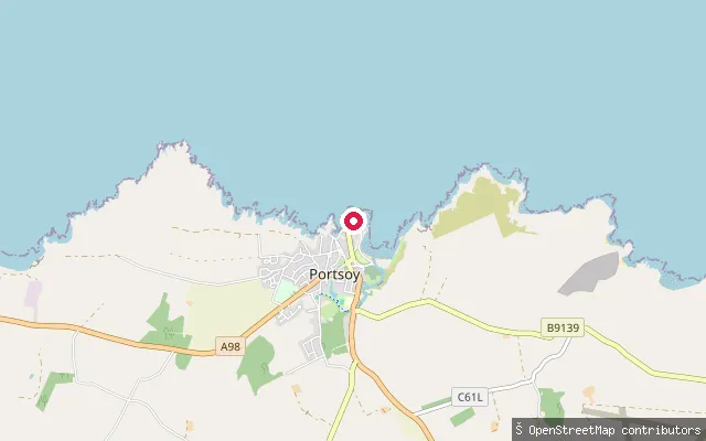
SeaPortsoy New Harbour slipway
Aberdeenshire, ScotlandA slipway on Shore Street at Portsoy New Harbour, on the Moray Firth coast. Portsoy's older harbour, immediately nearby, dates from the 17th century and is one of the oldest working harbours on the Moray Firth; the newer harbour was built in 1825 to serve the expanding herring fishery.
 Sea
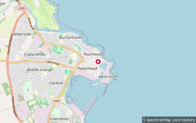
SeaRoanheads put-in (Peterhead)
Aberdeenshire, ScotlandThis slipway launches into Port Henry, the oldest of Peterhead's three harbour basins, on the north side of the town beside the Roanheads neighbourhood. Port Henry remains a working harbour for the inshore fishing fleet and also berths vessels supporting offshore wind farms, with around 740 metres of quayside and depths of two to three metres.
 Sea
SeaNewburgh Quay slipway
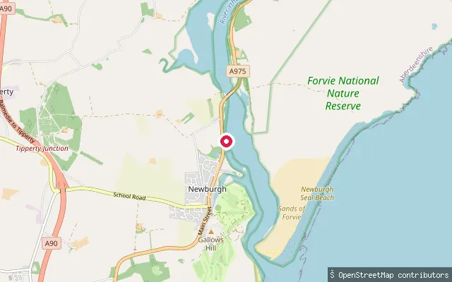
Aberdeenshire, ScotlandA slipway on The Quay at Newburgh, on the Ythan Estuary where the River Ythan meets the North Sea. The estuary is tidal for about 7 kilometres inland with mudflats, sand and salt marsh, and the Sands of Forvie reserve, home to the world's largest eider duck colony, lies just to the north.
 Sea
SeaJohnshaven Harbour slipway
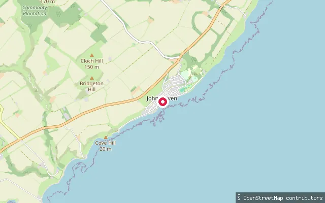
Aberdeenshire, ScotlandA slipway on Fore Street at Johnshaven's harbour, a small fishing village on the North Sea coast between Gourdon and St Cyrus. The harbour is protected by a north breakwater built in 1871 with a later inner harbour, but OpenStreetMap notes the entrance is still exposed to rocks and can be hazardous in bad weather.
 Sea
SeaBanff Harbour slipway
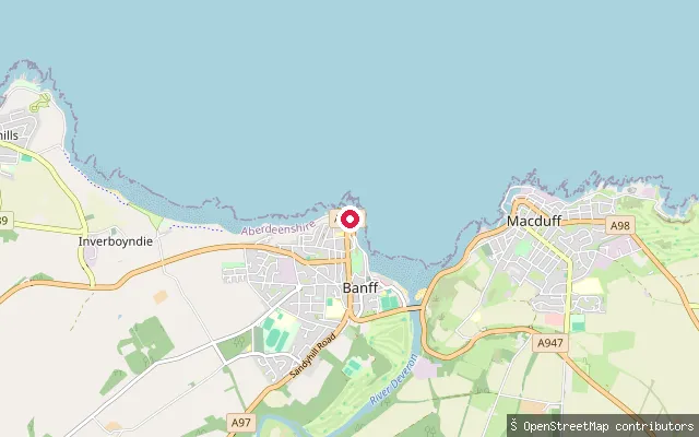
Aberdeenshire, ScotlandA slipway on Quayside within Banff Harbour, at the mouth of the River Deveron where it opens into Banff Bay on the Moray Firth, facing Macduff across the estuary. The harbour was rebuilt as a marina in 2006 for leisure boats and small fishing craft, and its dredged entrance channel is exposed to tidal flow from the Deveron.
 Sea
SeaGourdon Harbour slipway
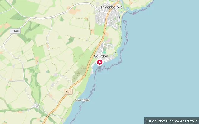
Aberdeenshire, ScotlandA slipway on William Street at Gourdon's harbour, a working fishing village on the North Sea coast south of Stonehaven. The harbour was built in 1820 and still shelters small fishing boats, with a tarmac path along the former railway line running north towards Inverbervie.
 Sea
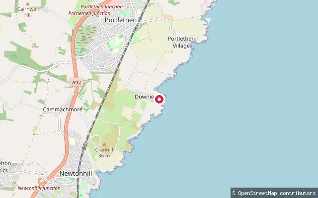
SeaDownies slipway
Aberdeenshire, ScotlandA slipway at Downies, a cliff-top village on Cammachmore Bay on the Aberdeenshire coast a few miles south of Aberdeen, near Portlethen. Downies was once a fishing settlement and is now mainly residential; no further access or facility detail beyond the OSM slipway tag was found.
 Sea
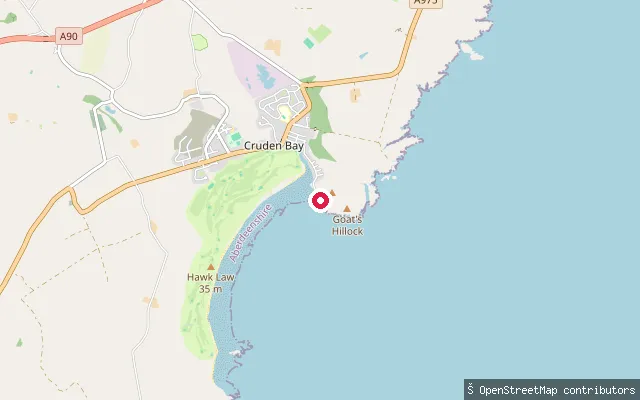
SeaCruden Bay put-in
Aberdeenshire, ScotlandThis slipway serves Port Erroll, the small harbour at the south end of Cruden Bay's sandy beach, about 10 miles south of Peterhead. Volunteers from the Port Erroll Harbour Trust maintain the harbour, where kayakers and cold-water swimmers use the slipway alongside local fishing boats and jet skis are not permitted; two free car parks and a volunteer-run toilet block serve visitors.
 Sea
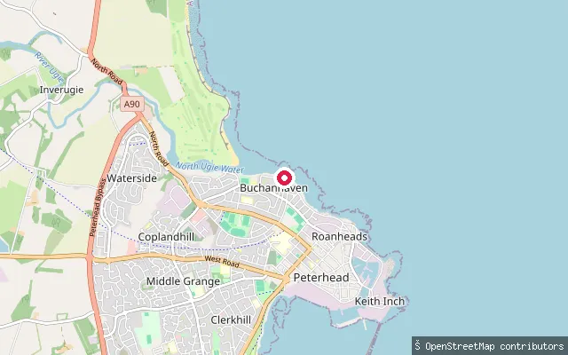
SeaBuchanhaven put-in (Peterhead)
Aberdeenshire, ScotlandThis slipway sits off Harbour Street in Buchanhaven, a former fishing village at the mouth of the River Ugie about a mile north of Peterhead. Buchanhaven's small working harbour still moors a handful of boats at its 19th-century pier, and a diesel cable winch at the pier head is used to haul craft up the slip.
 Sea
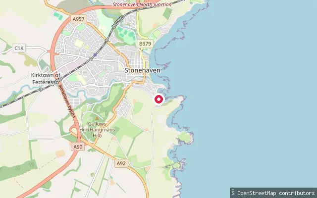
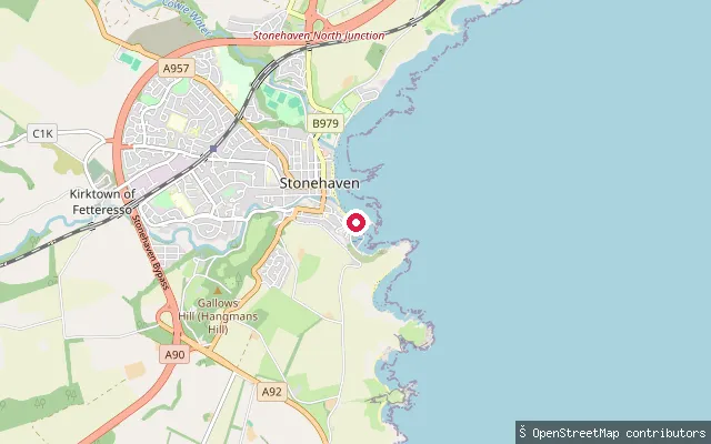
SeaStonehaven Harbour slipway (Shorehead)
Aberdeenshire, ScotlandA slipway on the south side of Stonehaven Harbour, near Shorehead in the town's Auld Toon. It connects to the harbour's pier structure and opens onto the sheltered water of Stonehaven Bay on the Aberdeenshire coast, close to the Boggarty Head headland south of the harbour mouth.
 Sea
SeaStonehaven Harbour slipway (Old Pier)
Aberdeenshire, ScotlandA concrete slipway on the Old Pier in Stonehaven Harbour, on Aberdeenshire's North Sea coast. The harbour lies in Stonehaven Bay, sheltered between Downie Point and Garron Point, and was enlarged in the 1820s by the engineer Robert Stevenson. It was once a major herring-fishing harbour and today serves mostly leisure craft and moorings.
 Sea
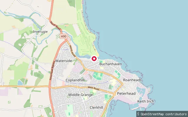
SeaBlackhouse put-in (Peterhead)
Aberdeenshire, ScotlandThis paved slipway drops onto the south bank of the River Ugie estuary at Blackhouse, on the edge of Buchanhaven about a mile north of Peterhead town centre. The Ugie meets the North Sea here, so the water is tidal and mixes river flow with the open sea. Buchanhaven's small fishing harbour lies a short way south on the opposite bank.
Save your own spots
Keep the places you launch, check the wind and shelter before you go, and log every paddle. Add a spot to the directory too, and other paddlers will find it. Free to start.
Some launch spots in this directory are seeded from open data. © OpenStreetMap contributors · Open Database Licence (ODbL) · Machine-readable copy