Paddleboarding spots in Angus
3 launch spots across Angus
Every mapped spot in Angus
Zoom in to split a cluster; open a pin for the spotMap of every spot in Angus
The interactive map opens on any device with JavaScript. The full list of launch spots is below.
Launch spots
Showing 3 of 3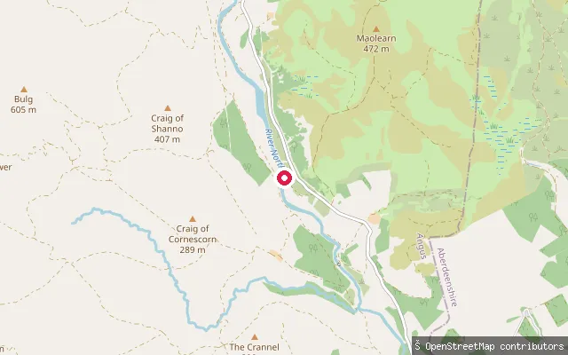 River
RiverNorth Esk (Lower)
Angus, ScotlandA whitewater put-in on the River North Esk in Glen Esk, near Fernybank a few miles upstream of Edzell. It marks the start of a grade 2 stretch running down to Gannochy Bridge, with a grade 3 rapid known as Awkward Boulder just below the first bridge at low water.
 Sea
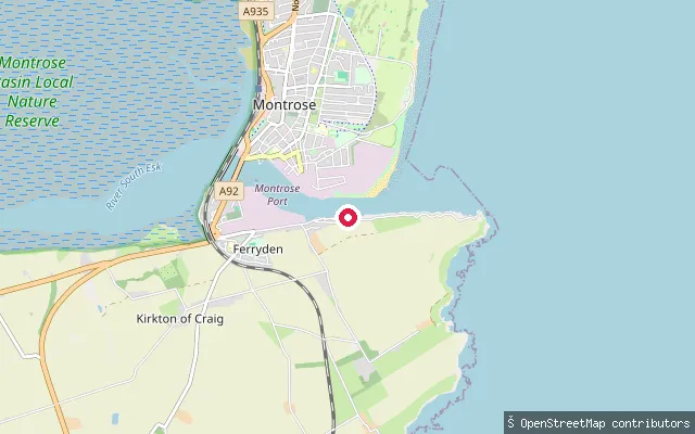
SeaManse put-in (Montrose)
Angus, ScotlandA concrete slipway on River Street at Inchbrayock, on a tidal channel of the River South Esk just upstream of Montrose Harbour. Inchbrayock (also called Rossie Island) was a tidal island until infilling joined it to Ferryden in the 20th century, and the South Esk here rises and falls with the tide before reaching the sea at the harbour mouth.
 Loch
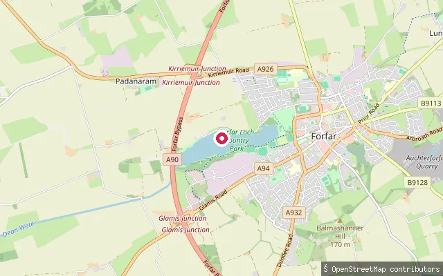
LochInchgarth put-in (Forfar)
Angus, ScotlandA grass-surfaced slipway track on Forfar Loch, close to a second mapped slip nearby, within Forfar Loch Country Park on the town's western edge. The loch hosts a sailing club and model boat club and is ringed by a 4km path popular with walkers.
Save your own spots
Keep the places you launch, check the wind and shelter before you go, and log every paddle. Add a spot to the directory too, and other paddlers will find it. Free to start.
Some launch spots in this directory are seeded from open data. © OpenStreetMap contributors · Open Database Licence (ODbL) · Machine-readable copy