Paddleboarding spots in North Ayrshire
13 launch spots across North Ayrshire
Explore our top picks in North Ayrshire
Browse the launch spots on this weekend’s page
Every mapped spot in North Ayrshire
Zoom in to split a cluster; open a pin for the spotMap of every spot in North Ayrshire
The interactive map opens on any device with JavaScript. The full list of launch spots is below.
Launch spots
Showing 13 of 13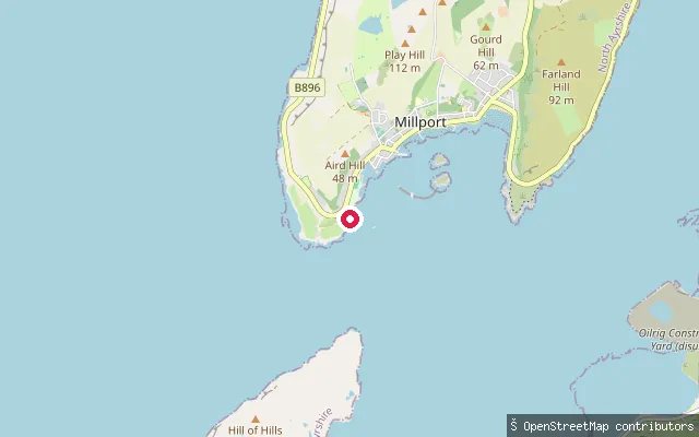 Sea
Millport west-shore slipway
North Ayrshire, ScotlandA slipway on Great Cumbrae's west coast, roughly a kilometre from Millport town centre. OpenStreetMap names it simply 'millport' and it opens onto the Firth of Clyde.
 Sea
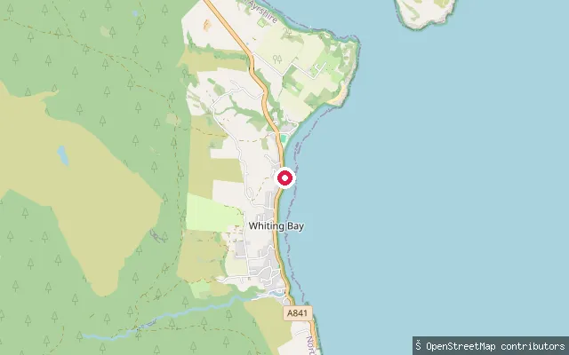
South Kiscadale put-in (Whiting Bay)
North Ayrshire, ScotlandA slipway at South Kiscadale, one of the historic hamlets making up the village of Whiting Bay on Arran's southeast coast. Whiting Bay itself, on the Firth of Clyde, gives the village its name.
 Sea
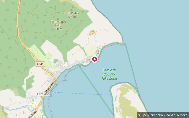
Prospecthill put-in (Lamlash)
North Ayrshire, ScotlandA paved slipway on Clauchlands Road in Prospecthill, a hamlet on the northern shore of Lamlash Bay just outside Lamlash village. Lamlash Bay is a sheltered natural harbour on Arran's east coast, enclosed by Holy Isle across its mouth.
 Sea
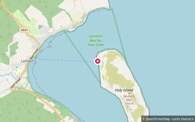
Lamlash pier slipway
North Ayrshire, ScotlandA slipway beside Lamlash's ferry terminal on Lamlash Bay, close to the seasonal passenger ferry to Holy Isle. Lamlash Bay is a sheltered harbour on Arran's east coast, enclosed by Holy Isle.
 Sea
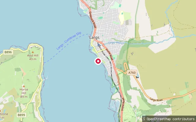
Netherhall put-in (Largs)
North Ayrshire, ScotlandA slipway on the Largs shore in the area known as Netherhall, opening onto the Firth of Clyde opposite Great Cumbrae.
 Sea
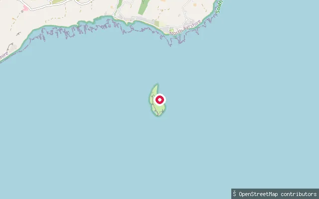
Kildonan put-in
North Ayrshire, ScotlandA slipway on Shore Road at Kildonan, a hamlet at the southern tip of Arran facing the Firth of Clyde. The small uninhabited island of Pladda, with its automated lighthouse, lies about 1km offshore.
 Sea
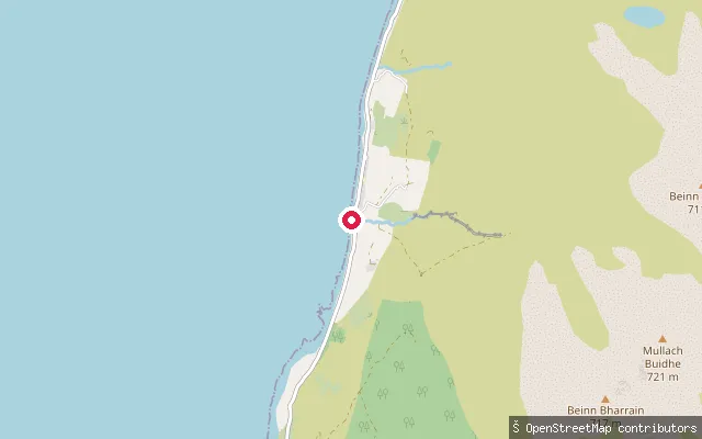
Pirnmill slipway
North Ayrshire, ScotlandA slipway on Arran's northwest coast at Pirnmill, facing the Kilbrannan Sound towards Grogport on the Kintyre peninsula. The village has had a jetty since the 1930s, before which small boats landed visitors over duckboards.
 Sea
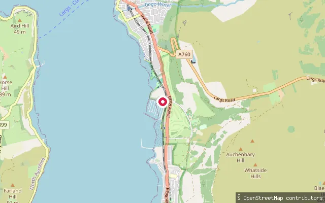
Fairlie put-in (north)
North Ayrshire, ScotlandA second slipway on the Fairlie shore, roughly 400 m along the coast from another mapped put-in, opening onto Fairlie Bay on the Firth of Clyde.
 Sea
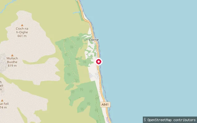
Corrie put-in
North Ayrshire, ScotlandA slipway at Corrie, a small former quarrying village on Arran's northeast coast about 10km north of Brodick, fronting the Firth of Clyde. The village has two old quays, once used to ship sandstone off the island, either side of a landmark known locally as Ferry Rock.
 Sea
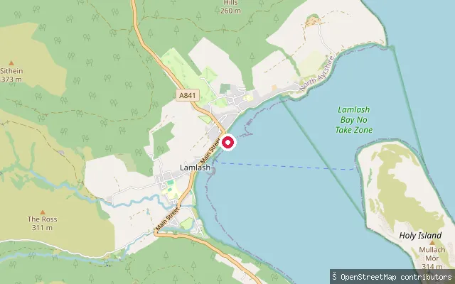
Cordon put-in (Lamlash)
North Ayrshire, ScotlandA slipway on the shore at the north end of Lamlash village, on the west side of Lamlash Bay. Holy Isle lies across the bay to the south-east.
 Sea
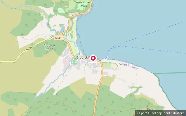
Brodick put-in
North Ayrshire, ScotlandA slipway on the south shore of Brodick Bay, in the centre of Brodick, Arran's main village and ferry port on the island's east coast. The bay opens onto the Firth of Clyde below Goat Fell, and the CalMac ferry terminal lies about 400 m to the east.
 Sea
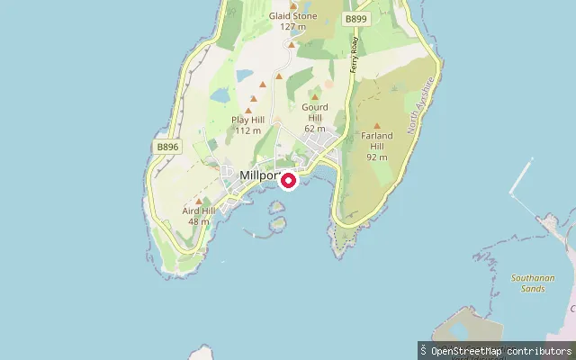
Newton Sands slipway and pier (Millport)
North Ayrshire, ScotlandMillport Bay forms the whole south coast of Great Cumbrae, an island in the Firth of Clyde about 3.5 miles long and 1.9 miles wide.
 Sea
Ardeer put-in (Stevenston)
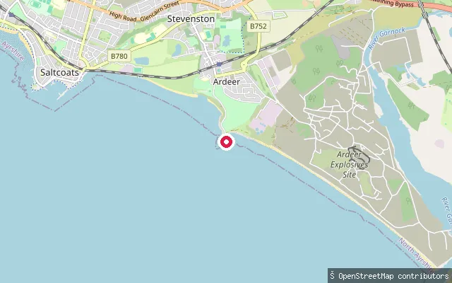
North Ayrshire, ScotlandA slipway on the Ardeer peninsula shore in Stevenston, opening onto the Firth of Clyde. Ardeer was once an island and later hosted the Nobel explosives factory.
Save your own spots
Keep the places you launch, check the wind and shelter before you go, and log every paddle. Add a spot to the directory too, and other paddlers will find it. Free to start.
Some launch spots in this directory are seeded from open data. © OpenStreetMap contributors · Open Database Licence (ODbL) · Machine-readable copy