Paddleboarding spots in West Dunbartonshire
4 launch spots across West Dunbartonshire
Every mapped spot in West Dunbartonshire
Zoom in to split a cluster; open a pin for the spotMap of every spot in West Dunbartonshire
The interactive map opens on any device with JavaScript. The full list of launch spots is below.
Launch spots
Showing 4 of 4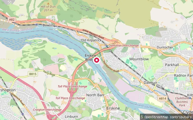 River
RiverOld Kilpatrick ferry slipway (Mountblow)
West Dunbartonshire, ScotlandThe former Erskine Ferry slipway on the north bank of the River Clyde at Mountblow, on the edge of Old Kilpatrick. The ferry ran from here to Erskine from 1777 until the Erskine Bridge opened in 1971, and the disused slipway and quayside remain on the riverbank.
 River
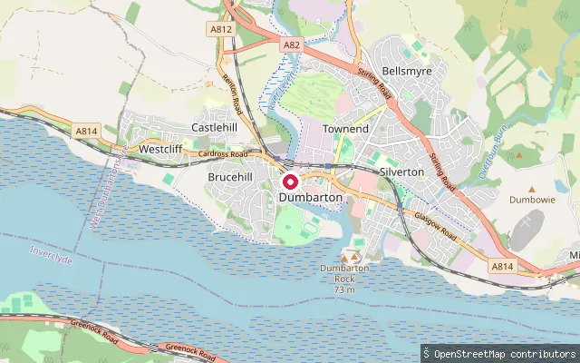
RiverDalreoch put-in (Dumbarton)
West Dunbartonshire, ScotlandA slipway on the River Leven at Dalreoch, on the west side of Dumbarton close to Dalreoch railway station and the river's confluence with the Clyde. Canoeists use the spot as a put-in or take-out for the Leven, with on-street parking nearby on Glasgow Road.
 Loch
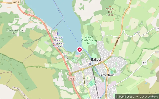
LochLoch Lomond Shores slipway
West Dunbartonshire, ScotlandA slipway on Loch Lomond's southern shore at Loch Lomond Shores, the retail and leisure site at Balloch that also hosts the Sea Life Aquarium and the paddle steamer Maid of the Loch. The launch sits within Loch Lomond and The Trossachs National Park, reached via Ben Lomond Way through Tulliechewan Farm.
 Loch
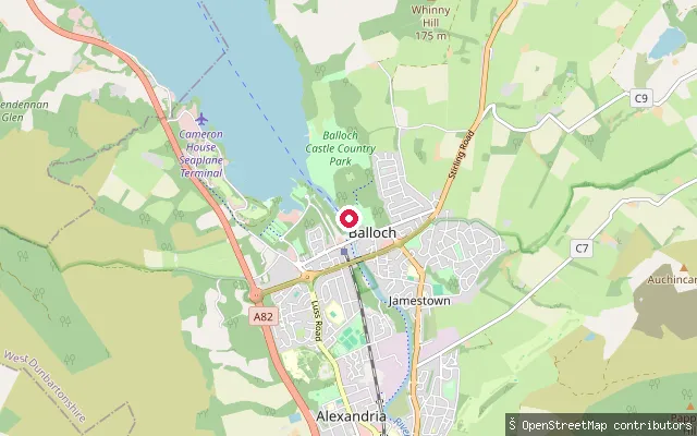
LochBalloch Road slipway (Balloch Castle Country Park)
West Dunbartonshire, ScotlandA slipway off Balloch Road on the southern shore of Loch Lomond, close to the entrance of Balloch Castle Country Park. The site lies within Loch Lomond and The Trossachs National Park, near the park's lochside paths and boathouse.
Save your own spots
Keep the places you launch, check the wind and shelter before you go, and log every paddle. Add a spot to the directory too, and other paddlers will find it. Free to start.
Some launch spots in this directory are seeded from open data. © OpenStreetMap contributors · Open Database Licence (ODbL) · Machine-readable copy