Paddleboarding spots in Argyll and Bute
109 launch spots across Argyll and Bute
Every mapped spot in Argyll and Bute
Zoom in to split a cluster; open a pin for the spotMap of every spot in Argyll and Bute
The interactive map opens on any device with JavaScript. The full list of launch spots is below.
Launch spots
Showing 24 of 109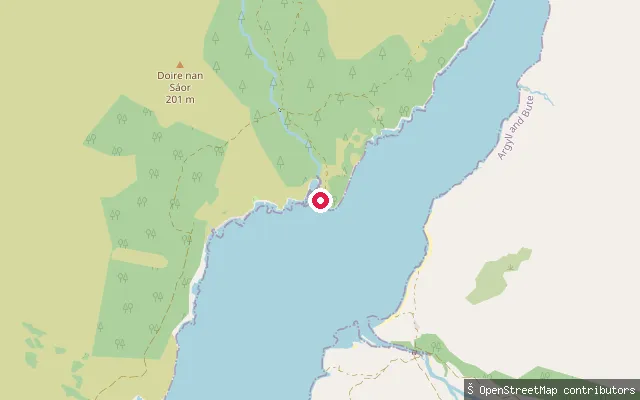 Sea
SeaBarrs slipway
Argyll and Bute, ScotlandThis is one of two small, disused piers on the north shore of Loch Etive at Barrs, a remote spot about three-quarters of the way up the loch from Bonawe with no road access. Loch Etive is a tidal sea loch; paddlers usually reach Barrs by launching from Taynuilt or Bonawe and crossing or following the loch, since the only way in on foot is a rough landrover track from Bonawe.
 Sea
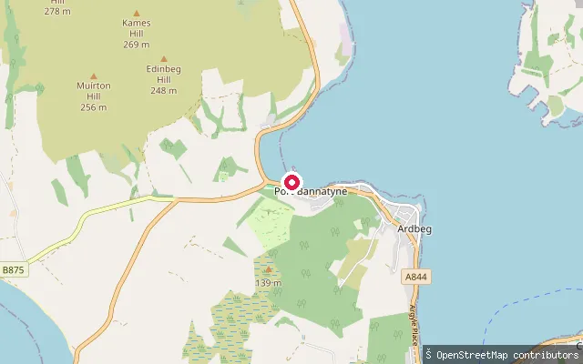
SeaPort Bannatyne slipway (Marine Road)
Argyll and Bute, ScotlandThis slipway is on Marine Road in Port Bannatyne, on the east coast of the Isle of Bute, giving access to Kames Bay. It was harvested as 'Westland put-in (Rothesay)', but the address and coordinate place it in Port Bannatyne, about two miles north of Rothesay, not the town itself.
 Sea
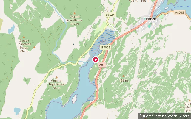
SeaWest Tarbert put-in
Argyll and Bute, ScotlandWest Tarbert is a small hamlet on the northern shore of West Loch Tarbert, the sea loch that runs south-west from Tarbert towards the Sound of Gigha. The mapped slipway sits directly on the loch's natural coastline off the B8026.
 Sea
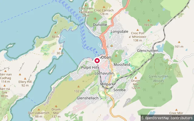
SeaTown Centre put-in (Oban)
Argyll and Bute, ScotlandThis slipway is on Shore Street in Oban town centre, directly on Oban Bay, the horseshoe-shaped harbour sheltered by the island of Kerrera and, beyond it, by Mull.
 Sea
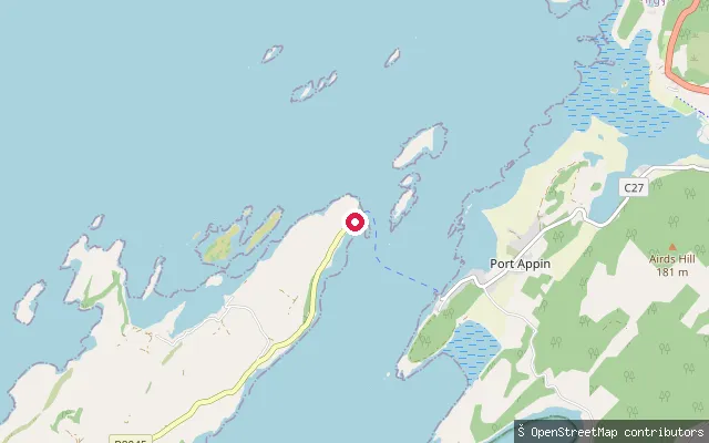
SeaPoint ferry slipway, Lismore
Argyll and Bute, ScotlandThe Lismore-side slipway for the passenger ferry across the Lynn of Lorn to Port Appin, at the place named Point on the north end of the island. It is the island-side counterpart to the Port Appin pier slipway on the mainland, across the same narrow, tidal crossing.
 Sea
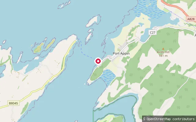
SeaPort Appin pier, The Point crossing
Argyll and Bute, ScotlandA slipway at Port Appin pier, the mainland landing for the passenger ferry across the Lynn of Lorn to Point on the Isle of Lismore. The crossing is a narrow, tide-swept gap between the Appin mainland and Lismore that sea kayakers use as a short hop between the two shores.
 Sea
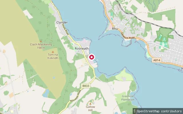
SeaThe Croft put-in (Rosneath)
Argyll and Bute, ScotlandThe Croft is on the western shore of the Gare Loch at Rosneath, near the hamlet of Camsail. The slipway gives access onto the loch, which Rosneath village faces along the Rosneath peninsula.
 Sea
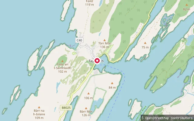
SeaTayvallich put-in
Argyll and Bute, ScotlandTayvallich sits at the head of Loch a' Bhealaich, a sheltered horseshoe-shaped arm of Loch Sween on the west coast of Knapdale. A concrete public slipway serves the village harbour beside the jetty, used by sailors and sea paddlers heading out to the Fairy Isles or across the loch. The bay is noted for clear water and inquisitive seals.
 Sea
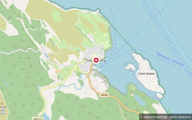
SeaStrongarbh put-in (Tobermory)
Argyll and Bute, ScotlandThis concrete path and slipway gives access to the shore in the Strongarbh area on the edge of Tobermory, Mull's main town. Tobermory Bay is a natural harbour sheltered by Calve Island, close to the northern entrance of the Sound of Mull.
 Sea
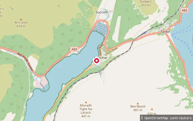
SeaStronafyne put-in (Succoth)
Argyll and Bute, ScotlandThis slipway sits on Shore Road in the hamlet of Stronafyne, on the Arrochar side of the A83 close to Succoth, at the head of Loch Long. Loch Long is a sea loch opening south into the Firth of Clyde, so the water here is tidal.
 Sea
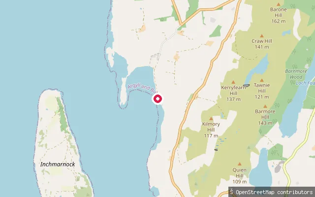
SeaStraad put-in
Argyll and Bute, ScotlandThis slipway is at Straad, a small hamlet on the west coast of the Isle of Bute near St Ninian's Bay, looking out over the Sound of Bute toward Inchmarnock. St Ninian's Point, just along the shore, carries the remains of a 6th-century chapel.
 Sea
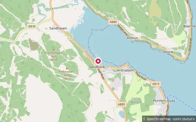
SeaSandbank put-in
Argyll and Bute, ScotlandThis slipway is on the Holy Loch at Sandbank, on Argyll's Cowal peninsula about two miles from Dunoon, next to Holy Loch Marina and Holy Loch Sailing Club. The loch's sheltered water is used for dinghy racing and moorings by the sailing club based on its eastern shore.
 Sea
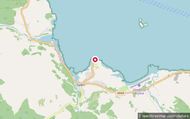
SeaSalen put-in
Argyll and Bute, ScotlandThis slipway is at Salen, a village on Mull's east coast on the Sound of Mull, roughly halfway between Craignure and Tobermory. It stands by the old Salen pier, once used by the Oban to Tobermory mailboat until that service moved to Craignure around 1964; the pier is still visible but no longer used commercially.
 Sea
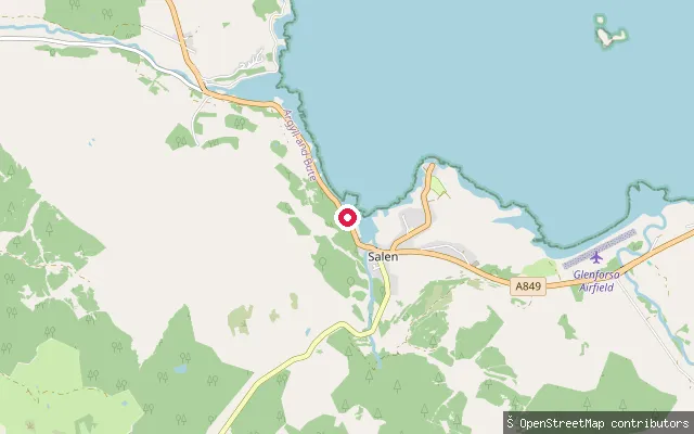
SeaAros Bridge slipway
Argyll and Bute, ScotlandThis slipway lies on the Sound of Mull shore near Aros Bridge, about a kilometre south-west of Salen village on Mull's east coast, close to where the River Aros meets the strait.
 Sea
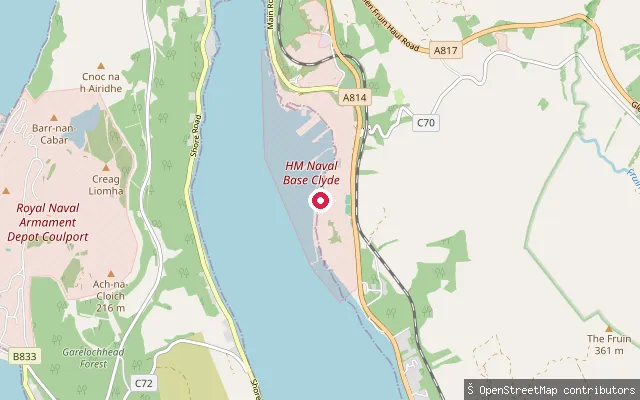
SeaRahane put-in
Argyll and Bute, ScotlandRahane is a small settlement on the western shore of the Gare Loch, about a mile north of Meikle Rahane. This slipway gives access onto the loch, facing HM Naval Base Clyde at Faslane on the opposite shore.
 Sea
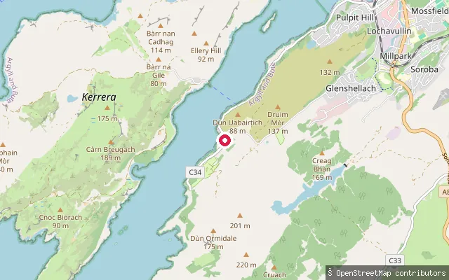
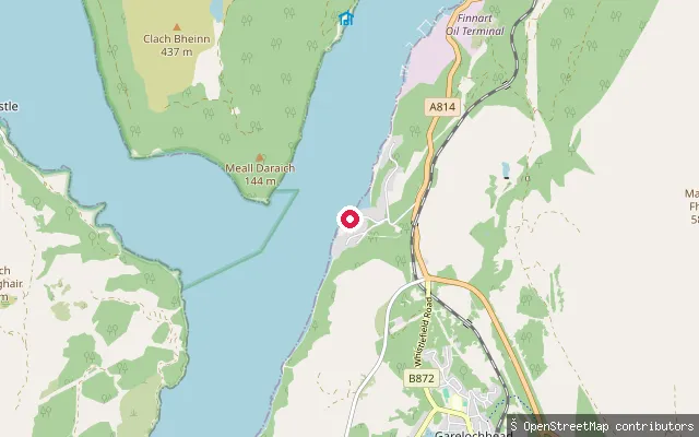
SeaPublic Slipway
Argyll and Bute, ScotlandThis is a second mapped slipway at Port Gallanach on the Sound of Kerrera, close to Puffin Dive Centre, a short distance south-west of Oban.
 Sea
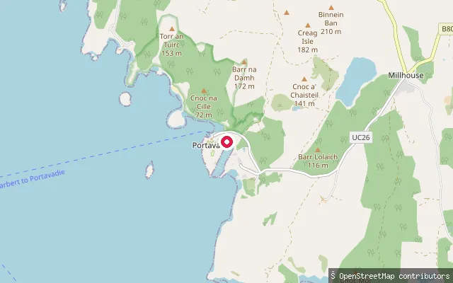
SeaPortincaple put-in
Argyll and Bute, ScotlandPortincaple is a hamlet on the western shore of Loch Long, near the narrow isthmus that separates the loch from the head of the Gare Loch. The slipway gives access onto this sea loch, which runs north to the Arrochar Alps and south to the Firth of Clyde.
 Sea
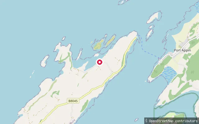
SeaPortavadie put-in
Argyll and Bute, ScotlandThis slipway sits at Portavadie on the Cowal shore of Loch Fyne, close to the yacht marina built on the site of a former oil-platform construction yard. A seasonal Caledonian MacBrayne ferry crosses Loch Fyne from here to Tarbert in around 25 minutes.
 Loch
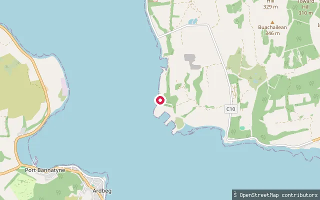
LochPort Ramsay slipway
Argyll and Bute, ScotlandA slipway at Port Ramsay, a row of whitewashed former lime-workers' cottages on the northwest coast of Lismore overlooking Loch Linnhe. The village's older stone jetty, built for the lime trade that ran until the First World War, is no longer used and dries out at low water.
 Sea
SeaPort Lamont put-in
Argyll and Bute, ScotlandThis slipway is at Port Lamont, a small hamlet on Glenstriven Road within Toward on the Cowal peninsula, facing the Firth of Clyde. Toward, a short distance along the coast, is home to a seasports club running sailing and watersports.
 Sea
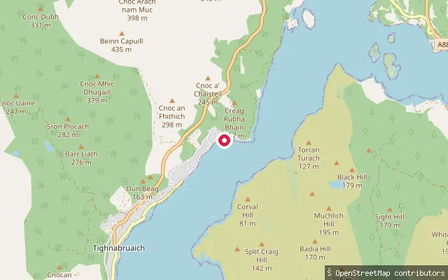
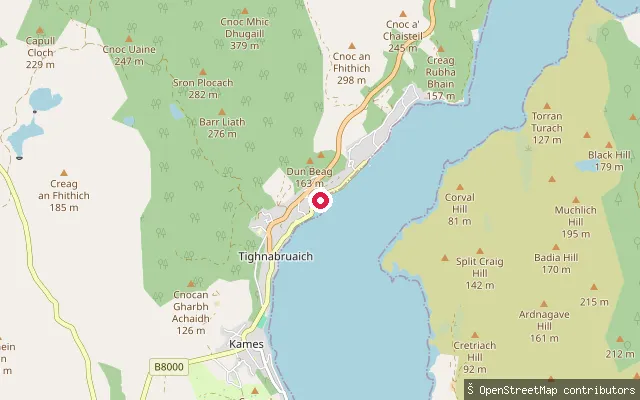
SeaPort Driseach put-in (Tighnabruaich)
Argyll and Bute, ScotlandA second slipway on the Port Driseach shore north-east of Tighnabruaich village, on the West Kyle of Bute, reached by a short service track off the B8000 coast road.
 Sea
SeaPort Driseach RNLI slipway (Tighnabruaich)
Argyll and Bute, ScotlandThis slipway at Port Driseach, on the edge of Tighnabruaich on the West Kyle of Bute, is operated by the RNLI to launch the village's inshore lifeboat. Tighnabruaich sits within a National Scenic Area, has a sailing school, and is noted for water sports and yachting.
 Sea
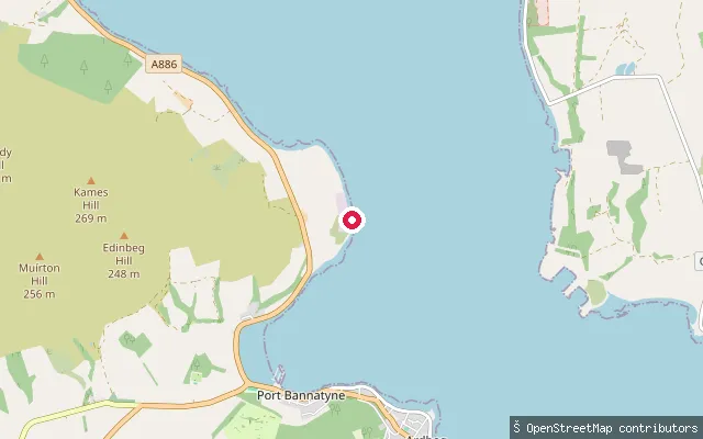
SeaPort Bannatyne put-in
Argyll and Bute, ScotlandThis slipway sits on the shore between Port Bannatyne and Ardmaleish on the east coast of the Isle of Bute, giving access to Kames Bay. Port Bannatyne itself is Bute's sailing and watersports hub, with two boatyards and a marina.
 Sea
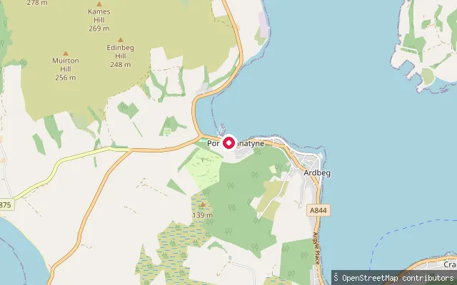
SeaPort Bannatyne slipway
Argyll and Bute, ScotlandThis is a named slipway on Marine Road in Port Bannatyne, on Bute's east coast, with a stony beach giving direct access to Kames Bay.
Save your own spots
Keep the places you launch, check the wind and shelter before you go, and log every paddle. Add a spot to the directory too, and other paddlers will find it. Free to start.
Some launch spots in this directory are seeded from open data. © OpenStreetMap contributors · Open Database Licence (ODbL) · Machine-readable copy