Paddleboarding spots in Dumfries and Galloway
28 launch spots across Dumfries and Galloway
Every mapped spot in Dumfries and Galloway
Zoom in to split a cluster; open a pin for the spotMap of every spot in Dumfries and Galloway
The interactive map opens on any device with JavaScript. The full list of launch spots is below.
Launch spots
Showing 24 of 28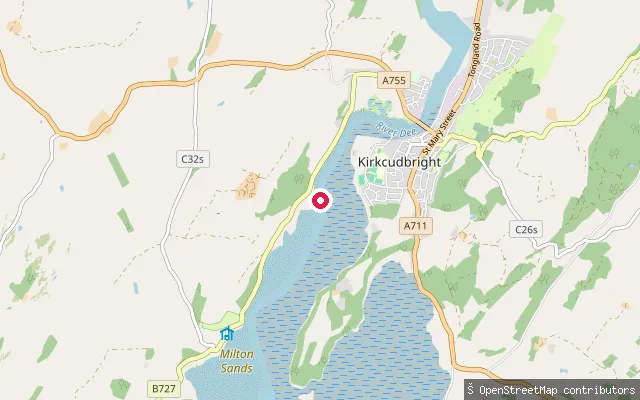 Sea
SeaMilton Sands slipway, Kirkcudbright
Dumfries and Galloway, ScotlandThis slipway sits on the tidal River Dee estuary a short distance south of Kirkcudbright, near the shore known locally as Milton Sands. Dumfries and Galloway's coast here is paddled by local sea kayakers and canoeists, including members of Kirkcudbright Canoe Club, who cover touring and sea kayaking routes along this stretch.
 Sea
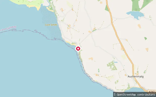
SeaStairhaven put-in
Dumfries and Galloway, ScotlandA slipway at Stairhaven, a small hamlet on the Luce Bay coast within the stretch of shore known as Auchenmalg Bay. The put-in is mapped next to a beach.
 Sea
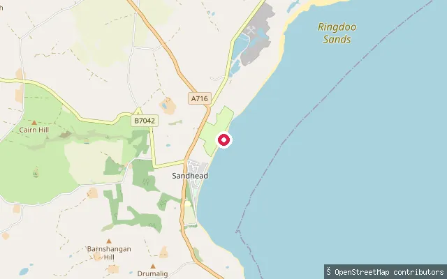
SeaSandmill Farm put-in (Sandhead)
Dumfries and Galloway, ScotlandA slipway at Sandhead on the eastern shore of the Rhins of Galloway, overlooking Luce Bay about 7 miles south of Stranraer. The bay here was historically used for landing lime and coal.
 Sea
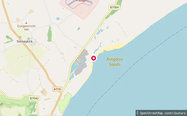
SeaSandhead put-in
Dumfries and Galloway, ScotlandA slipway on the Luce Bay coast about 2km north of Sandhead village, on the eastern shore of the Rhins of Galloway, reached by a minor coastal track.
 Sea
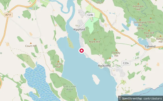
SeaRough Firth put-in (Kippford)
Dumfries and Galloway, ScotlandA concrete slipway on Kippford's waterfront, close to the point OS gazetteer data marks as the Rough Firth hamlet, on the tidal reach where the Urr Water meets the Solway.
 Sea
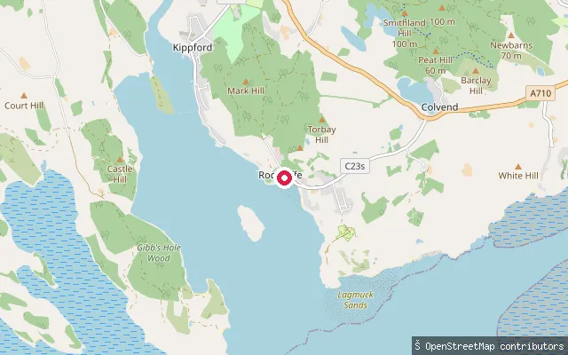
SeaRough Firth put-in (Kippford)
Dumfries and Galloway, ScotlandA concrete slipway on the shore south-east of Kippford, launching onto the tidal Rough Firth where the Urr estuary opens toward the Solway. It is mapped as a plain boat launch rather than a formal harbour facility.
 Sea
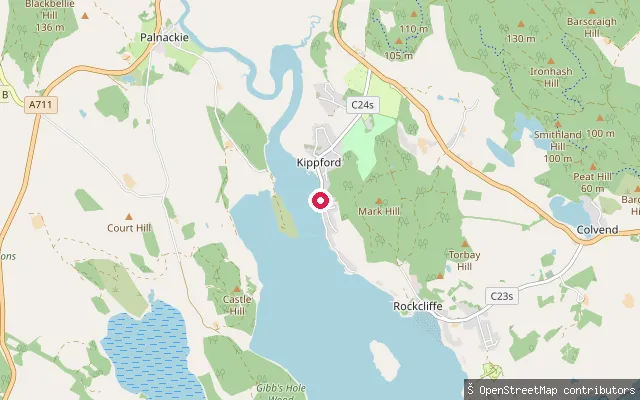
SeaRough Firth put-in (Kippford)
Dumfries and Galloway, ScotlandThis slipway is charted as a small craft facility in nautical seamark data, on Kippford's waterfront where the village fronts the tidal Rough Firth close to the Solway Yacht Club anchorage.
 Sea
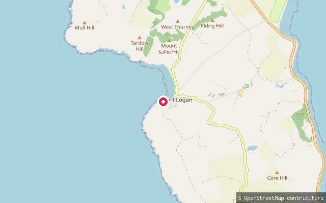
SeaPort Logan put-in
Dumfries and Galloway, ScotlandA slipway on Port Nessock Bay at Port Logan, on the west coast of the Rhins of Galloway. The village was laid out in 1818 with a quay and bell tower designed by Thomas Telford, and the Logan Fish Pond and Logan Botanic Garden are close by.
 Sea
SeaMull of Galloway Farm put-in
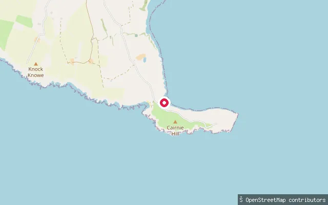
Dumfries and Galloway, ScotlandA slipway on a farm track near the Mull of Galloway, at the southern tip of the Rhins of Galloway. The coast narrows to a small isthmus here, with the bays of East Tarbet and West Tarbet either side of the headland, and Drummore, the nearest village, lies about 3 miles north.
 River
RiverLangholm put-in
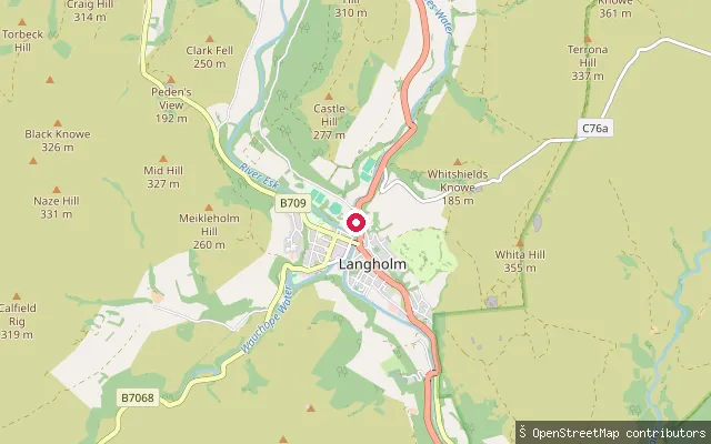
Dumfries and Galloway, ScotlandThis whitewater put-in lies on Ewes Water just north of Langholm, upstream of where it joins the River Esk in the town. The A7 and an electricity transmission line follow the Ewes Water valley for its final few miles down to the confluence.
 Sea
SeaKirkcolm put-in
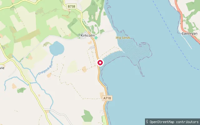
Dumfries and Galloway, ScotlandA slipway on the western shore of Loch Ryan near Craigencross, close to the site of the former RAF Wig Bay flying-boat station. The loch here is a sheltered tidal inlet forming Kirkcolm parish's eastern boundary.
 Sea
SeaKirkcolm put-in
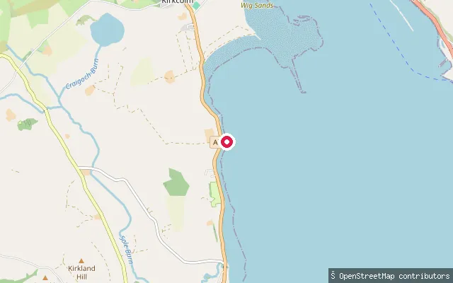
Dumfries and Galloway, ScotlandA slipway on the western shore of Loch Ryan near Craigencross, in Kirkcolm parish on the Rhinns of Galloway. The parish is bounded on the east by the bay of Loch Ryan, which forms a sheltered natural harbour along this coast.
 Sea
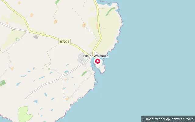
SeaIsle of Whithorn Harbour, inner slipway
Dumfries and Galloway, ScotlandIsle of Whithorn's harbour sits at the southeastern tip of the Machars peninsula on Wigtown Bay, and dries for about three hours either side of high water. This concrete, fee-free slipway is at the inner end of the quay off Harbour Row and is described as sheltered in all weathers, unlike the harbour's other, more exposed slipway.
 Sea
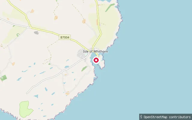
SeaIsle of Whithorn Harbour, outer slipway
Dumfries and Galloway, ScotlandThis second concrete slipway at Isle of Whithorn harbour sits closer to the harbour mouth on Wigtown Bay and gives access into the bay at virtually any state of tide, unlike the sheltered inner slipway further up the quay. The harbour dries for about three hours either side of high water and is exposed to southern swells.
 Sea
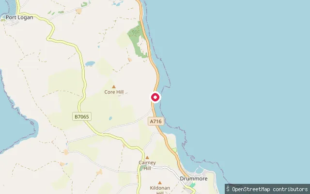
SeaGrennan put-in
Dumfries and Galloway, ScotlandA slipway beside a seawall on the Luce Bay coast near Kirkmaiden, a short distance north of Drummore on the Rhins of Galloway. It is reached by a minor service road rather than a public car park.
 River
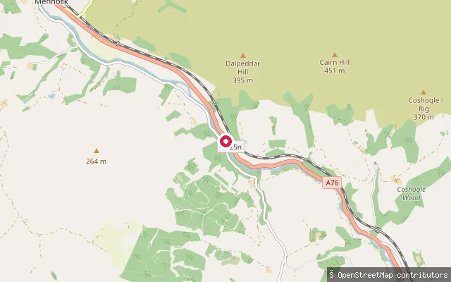
RiverGlenairlie Picnic Site
Dumfries and Galloway, ScotlandGlenairlie Picnic Site is a whitewater put-in on the River Nith near Enterkinfoot, on the A76 about six miles north of Thornhill. Nearby OSM data marks rapids on this stretch of river, and Glenairlie Bridge, a short way downstream, is a locally known landmark.
 Sea
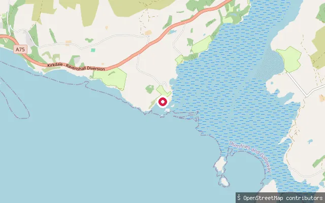
SeaMossyard slipway, Fleet Bay
Dumfries and Galloway, ScotlandThis launch point sits on Fleet Bay at Mossyard, a shore of three sandy beaches a few miles south of Gatehouse of Fleet on the Solway coast. Boats and dinghies are commonly launched here and kept on moorings or above the high-tide line, though trailer launches need the shore farmer's help with a tractor, and there is a parking charge.
 Loch
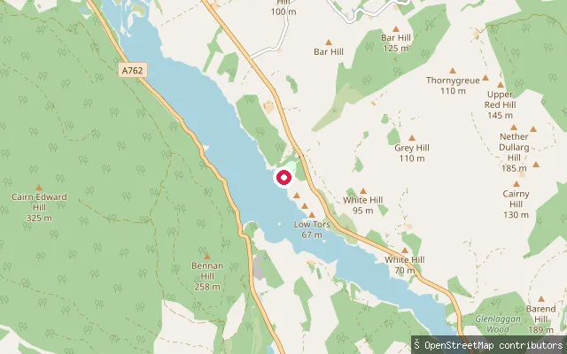
LochGalloway Activity Centre slipway
Dumfries and Galloway, ScotlandThis slipway serves the Galloway Activity Centre at Parton on the eastern shore of Loch Ken, a 9-mile freshwater loch fed by the Water of Ken and the River Dee. The loch is used for water skiing, sailing and fishing, and is a designated Ramsar wetland site.
 River
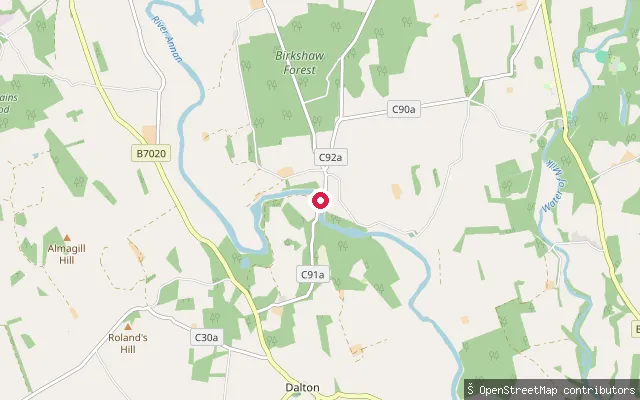
RiverDalton put-in
Dumfries and Galloway, ScotlandThis slipway sits on the River Annan near the village of Dalton, about 4 miles south of Lockerbie. OSM surveying of this river stretch was carried out between Lockerbie and Williamwath Bridge, and the Annan is also noted locally for fishing near Dalton.
 Loch
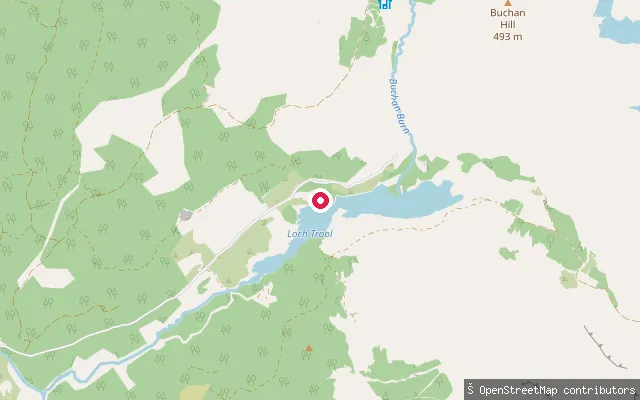
LochCaldons put-in
Dumfries and Galloway, ScotlandThis slipway sits on the shore of Loch Trool, a narrow freshwater loch about 8 miles north of Newton Stewart in the Galloway Forest Park, close to the Caldons camping area at the loch's western end. A waymarked footpath runs the full perimeter of the loch, and Bruce's Stone overlooks the water from the northern shore.
 Sea
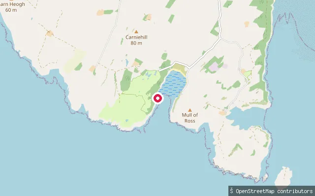
SeaBrighouse Bay slipway, Borgue
Dumfries and Galloway, ScotlandBrighouse Bay is a sand-and-rock beach on the Solway coast near Borgue, about 300 metres long with rocky sections and rockpools at its edges. An all-tide slipway at Brighouse Bay Holiday Park is used to launch kayaks and small boats, and the beach itself is used for coastal walks and paddleboarding. A wooded car park at the western end has toilets and a picnic area.
 Sea
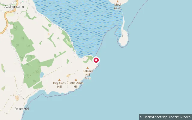
SeaBalcary put-in (Rascarrel)
Dumfries and Galloway, ScotlandThis slipway sits on the Solway coast at Balcary Point, on the shore of Balcary Bay between Auchencairn and Rascarrel. It launches onto open, tidal water at the mouth of Auchencairn Bay, with Hestan Island visible offshore.
 Sea
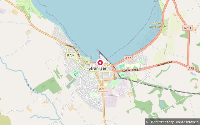
SeaHarbour Street slipway, Stranraer
Dumfries and Galloway, ScotlandA slipway on Loch Ryan off Harbour Street in Stranraer, within the town's harbour district at the southern end of the loch, close to the Port Rodie slipway.
 Sea
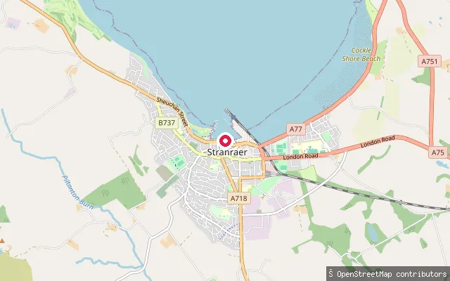
SeaPort Rodie slipway, Stranraer
Dumfries and Galloway, ScotlandA slipway on Loch Ryan at Port Rodie on the Stranraer waterfront, within the town's harbour area at the southern end of the loch.
Save your own spots
Keep the places you launch, check the wind and shelter before you go, and log every paddle. Add a spot to the directory too, and other paddlers will find it. Free to start.
Some launch spots in this directory are seeded from open data. © OpenStreetMap contributors · Open Database Licence (ODbL) · Machine-readable copy