Paddleboarding spots in Stirling
15 launch spots across Stirling
Every mapped spot in Stirling
Zoom in to split a cluster; open a pin for the spotMap of every spot in Stirling
The interactive map opens on any device with JavaScript. The full list of launch spots is below.
Launch spots
Showing 15 of 15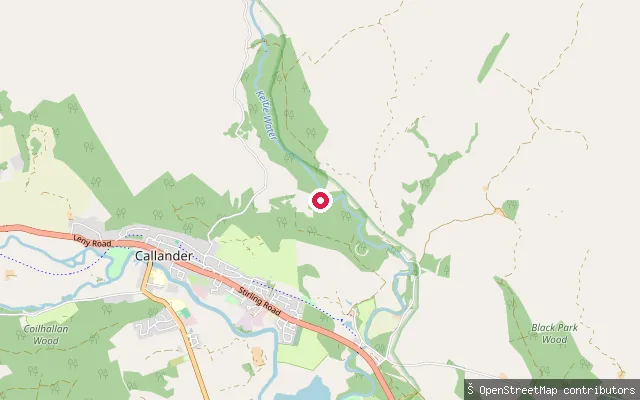 River
RiverWest Bracklinn put-in
Stirling, ScotlandThis is a whitewater put-in on the Keltie Water close to Bracklinn Falls, north-east of Callander. The falls just downstream are a series of drops of 2m to 7m or more, a technical section rather than an open paddle.
 Loch
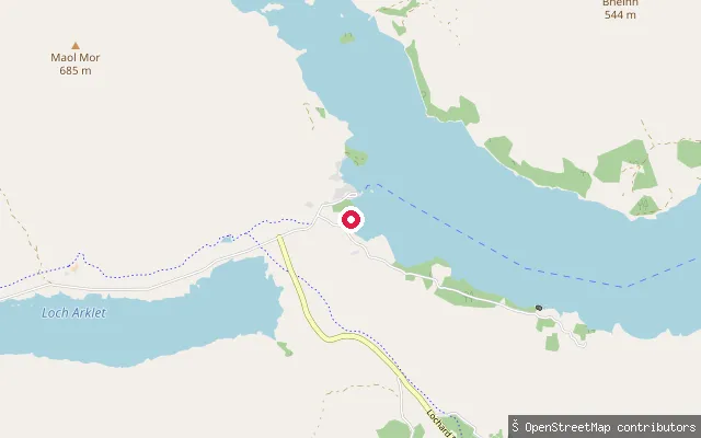
LochStronachlachar put-in
Stirling, ScotlandThis slipway is at Stronachlachar pier on the western end of Loch Katrine, with a car park, toilets and a cafe alongside. Unlike Trossachs Pier at the loch's eastern end, canoes and kayaks can launch here at any time rather than waiting for the steamship cruises to finish for the day.
 Loch
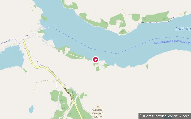
LochRoyal Cottage slipway (Loch Katrine)
Stirling, ScotlandThis slipway is on Loch Katrine's south shore near the Royal Cottage, a Category C listed building put up in 1859 for Queen Victoria's opening of the Glasgow waterworks scheme. The south shore here has no public road, unlike the car park and pier at Stronachlachar a couple of kilometres to the west.
 Loch
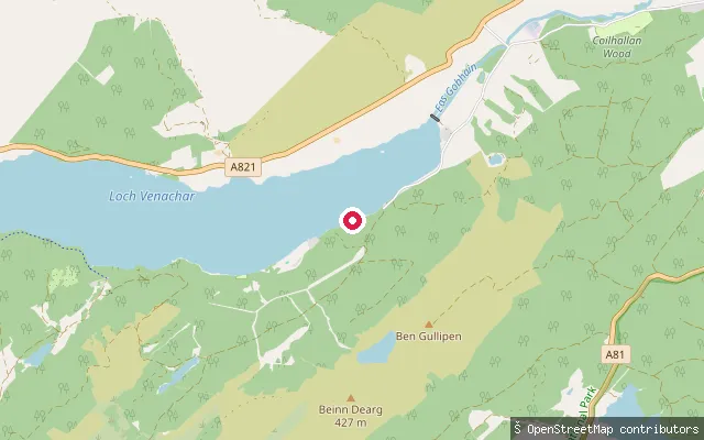
LochInvertrossachs slipway, Loch Venachar
Stirling, ScotlandThis slipway sits at the eastern end of Loch Venachar, on the Invertrossachs road about a mile from Callander in the Trossachs. The loch is roughly 4 miles long and is used for canoeing, kayaking and fishing.
 Loch
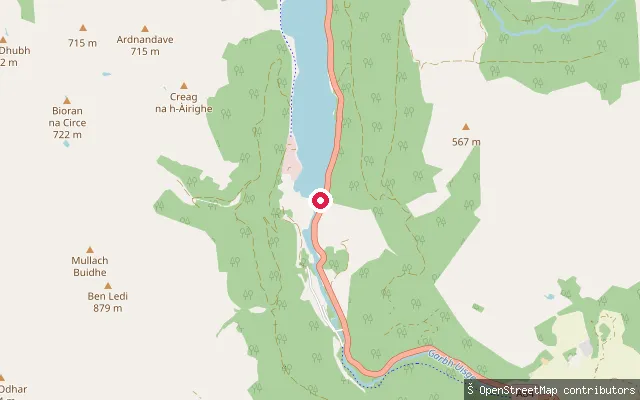
LochArdchullarie put-in, Loch Lubnaig
Stirling, ScotlandThis put-in lies on the eastern shore of Loch Lubnaig near the hamlet of Ardchullarie More, between Callander and Strathyre. The loch is open to non-motorised craft year-round and its sheltered water is commonly used for canoeing and kayaking, with the A84 running close to the shore for access.
 Loch
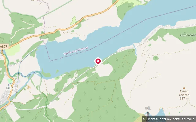
LochFirbush Point slipway, east (Loch Tay)
Stirling, ScotlandA second slipway roughly 40 m from node 2516301776, also serving Firbush Point on Loch Tay's south shore near the University of Edinburgh's Firbush Outdoor Centre, about two miles from Killin.
 Loch
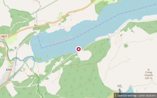
LochFirbush Point slipway (Loch Tay)
Stirling, ScotlandThis slipway serves Firbush Point on the south shore of Loch Tay, home to the University of Edinburgh's Firbush Outdoor Centre, about two miles from Killin near Ardeonaig. The centre runs water-based activities including sailing and windsurfing when conditions allow, with free on-site parking.
 River
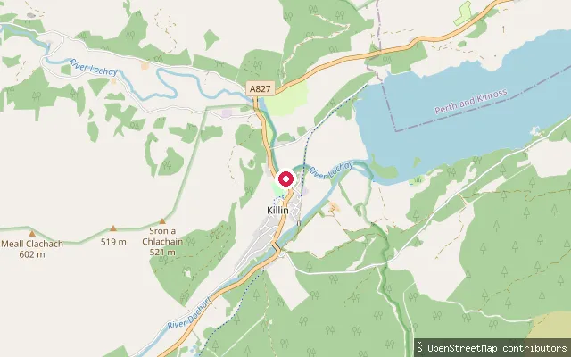
RiverRiver Lochay slipway (Killin)
Stirling, ScotlandThis slipway launches onto the River Lochay just before it joins the head of Loch Tay at Killin. It is used by a local canoe and kayak hire operation and sits beside the Killin Hotel, with free public parking opposite at McLaren Hall.
 Loch
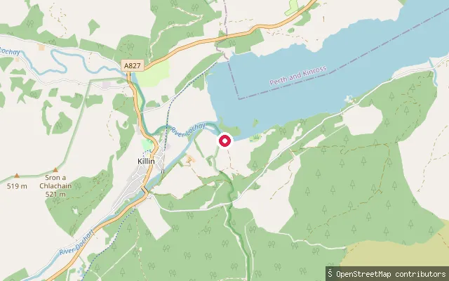
LochLoch Tay slipway (Killin)
Stirling, ScotlandThis slipway sits at the western tip of Loch Tay, a large freshwater loch running about 14 miles between Killin and Kenmore in the southern Highlands. It is a short distance from the River Lochay slipway used by local canoe hire, on the edge of Killin village.
 Loch
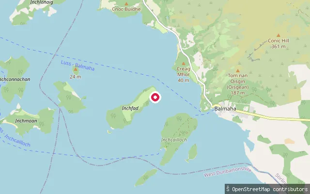
LochMilarrochy put-in, west (Balmaha)
Stirling, ScotlandA second slipway roughly 150 m from way/1410344021, also at Milarrochy Bay on Loch Lomond's eastern shore near Balmaha, closer to the small island of Inchfad offshore.
 Loch
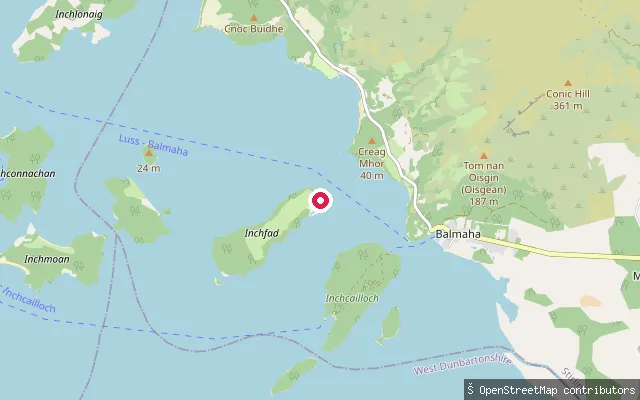
LochMilarrochy put-in (Balmaha)
Stirling, ScotlandThis slipway is at Milarrochy Bay on Loch Lomond's eastern shore, just north of Balmaha, with a sandy shoreline, free car park and toilets alongside a campsite. Non-motorised launching is free, and the bay looks out across islands including Inchfad, though its southern end is exposed to wind.
 River
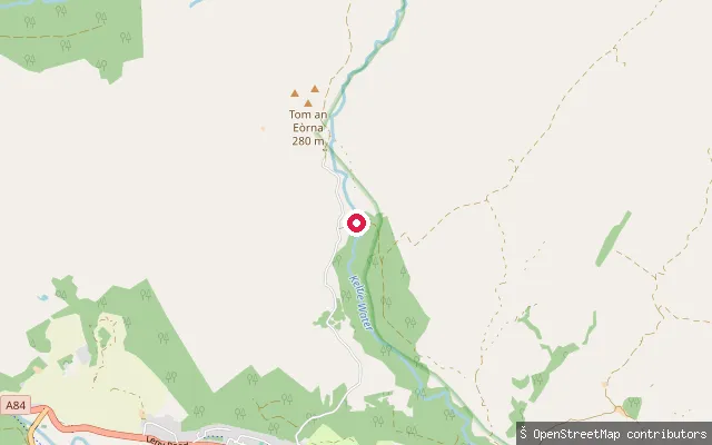
RiverKeltie Water put-in (Bracklinn)
Stirling, ScotlandThis put-in sits on the upper Keltie Water in the hills above Bracklinn Falls, north-east of Callander. The river drops through a series of falls where it crosses the Highland Boundary Fault, making this stretch a technical whitewater run rather than a flat paddle.
 Loch
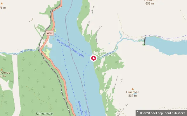
LochInversnaid put-in
Stirling, ScotlandThis slipway is at Inversnaid on Loch Lomond's eastern shore, beside the historic pier built around 1847 for the Loch Lomond steamers and still used today by the waterbus service and the Inversnaid Hotel. The loch reaches its deepest point, over 190 m, in the water off Inversnaid.
 River
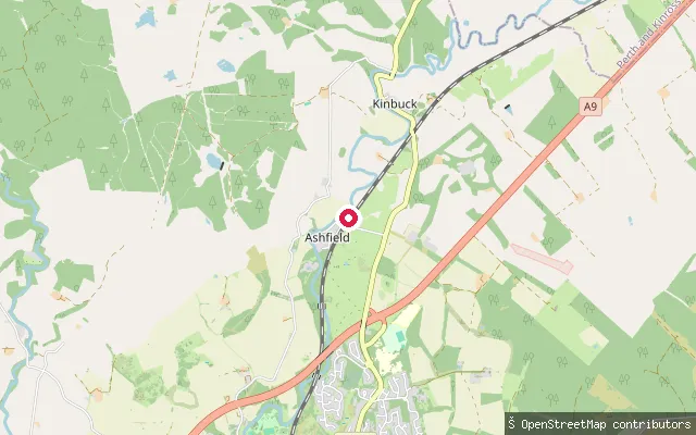
RiverKinbuck put-in, Allan Water
Stirling, ScotlandThis is a whitewater put-in on the Allan Water near Kinbuck, just north of Dunblane. A short distance downstream the river drops over Ashfield weir, a notable obstacle on this stretch, and continues as a technical, rocky run through Dunblane towards Bridge of Allan.
 Loch
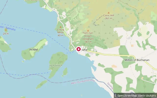
LochArrochybeg put-in (Balmaha)
Stirling, ScotlandThis slipway sits on Loch Lomond's eastern shore near Arrochybeg, just south of Balmaha and close to the rocky headland of Arrochymore Point on the West Highland Way. A car park with toilets lies a short walk away on the far side of the point.
Save your own spots
Keep the places you launch, check the wind and shelter before you go, and log every paddle. Add a spot to the directory too, and other paddlers will find it. Free to start.
Some launch spots in this directory are seeded from open data. © OpenStreetMap contributors · Open Database Licence (ODbL) · Machine-readable copy