Paddleboarding spots in East Lothian
7 launch spots across East Lothian
Every mapped spot in East Lothian
Zoom in to split a cluster; open a pin for the spotMap of every spot in East Lothian
The interactive map opens on any device with JavaScript. The full list of launch spots is below.
Launch spots
Showing 7 of 7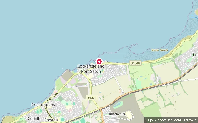 Sea
SeaSeton Sands slipway
East Lothian, ScotlandThis slipway lies on the Firth of Forth coast at Seton Sands, a rocky beach immediately east of Port Seton where a flat sandy bed is exposed at low tide. Blindwells, the locality in the original data, is an inland development about 2km to the south and is not the water this put-in reaches.
 Sea
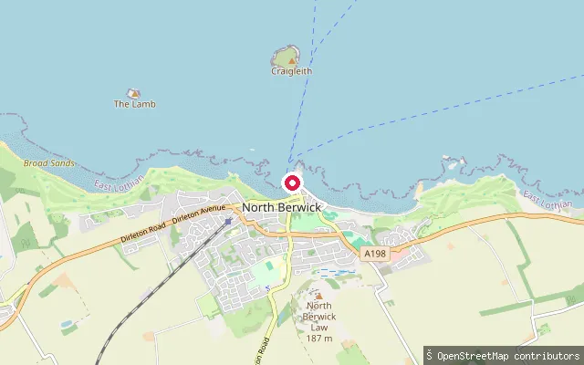
SeaNorth Berwick put-in
East Lothian, ScotlandThis slipway sits around 70 metres from the Heugh put-in, on the harbour side nearer West Beach and Harbour Terrace. Both points give access to North Berwick Harbour and the wider Firth of Forth, an area used by RNLI, rowing, kayaking and paddleboarding activity.
 Sea
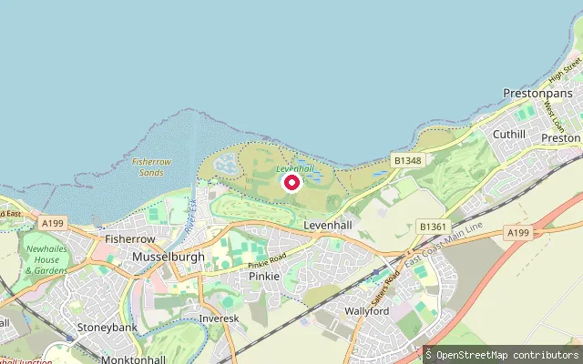
SeaLevenhall Links slipway
East Lothian, ScotlandThis slipway sits on the Firth of Forth shore at Levenhall Links, reclaimed coastal land on the east side of Musselburgh built up from ash from the former Cockenzie power station. Wallyford, the locality in the original data, is an inland village about 2km south and not the coastal edge the put-in serves; the managed lagoons just inland are a separate, shallow freshwater site for wading birds.
 Sea
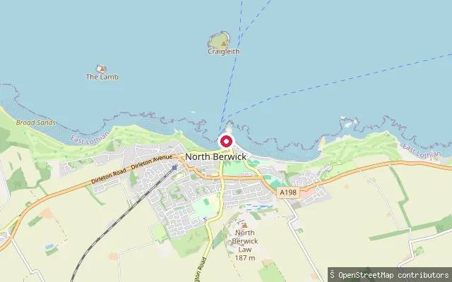
SeaHeugh put-in (North Berwick)
East Lothian, ScotlandThis slipway sits at North Berwick Harbour, tagged in OSM as a small craft facility, close to the Heugh, the residential streets on the headland above the harbour. The harbour is home to the RNLI lifeboat, whose own slipway has been in use since 1860, alongside rowing, kayaking and paddleboarding clubs based there.
 Sea
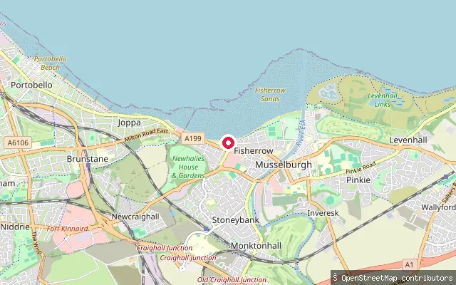
SeaFisherrow put-in (Musselburgh)
East Lothian, ScotlandFisherrow Harbour sits at the mouth of the River Esk in Musselburgh, with a sandy beach either side of the harbour walls opening onto the Firth of Forth. The harbour has been central to the town for centuries, and its calmer water is used today for sailing, kayaking and paddleboarding alongside fishing and leisure boats.
 Sea
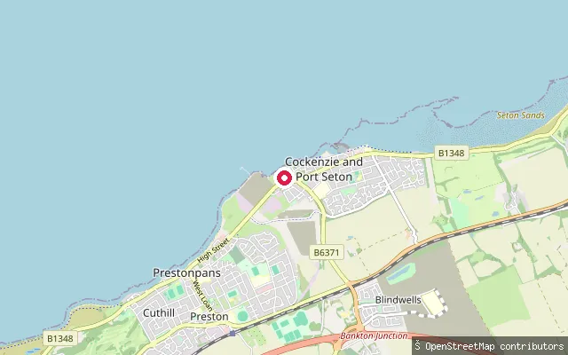
SeaCockenzie put-in
East Lothian, ScotlandThis slipway sits on the Firth of Forth shore at Cockenzie, part of the joined villages of Cockenzie and Port Seton. Cockenzie Harbour, a working harbour built in the early 17th century by the Earl of Winton, lies a short distance to the south and remains in active use under Harbour Master rules.
 Sea
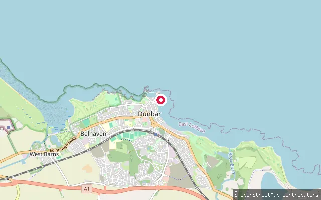
SeaCoal Hirst
East Lothian, ScotlandCoal Hirst is a named slipway within Dunbar's Old Harbour, close to the site of a coal wharf added to the harbour's east wall in 1761 to handle coal imports. Like the rest of the Old Harbour it dries out completely at low tide.
Save your own spots
Keep the places you launch, check the wind and shelter before you go, and log every paddle. Add a spot to the directory too, and other paddlers will find it. Free to start.
Some launch spots in this directory are seeded from open data. © OpenStreetMap contributors · Open Database Licence (ODbL) · Machine-readable copy