Paddleboarding spots in Perth and Kinross
21 launch spots across Perth and Kinross
Every mapped spot in Perth and Kinross
Zoom in to split a cluster; open a pin for the spotMap of every spot in Perth and Kinross
The interactive map opens on any device with JavaScript. The full list of launch spots is below.
Launch spots
Showing 21 of 21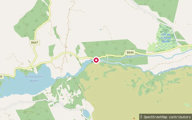 Loch
LochUpper Tummel
Perth and Kinross, ScotlandThis put-in is on Dunalastair Water, a reservoir on the River Tummel formed by a weir just east of Kinloch Rannoch as part of a hydro-electric scheme. The name comes from the nearby Dunalastair estate, associated with the 18th-century Jacobite poet Alexander Robertson of Struan.
 River
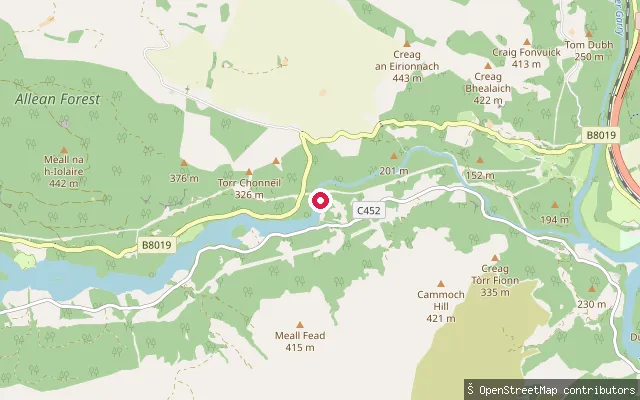
RiverTummel (Lower)
Perth and Kinross, ScotlandThis put-in lies on the River Tummel between Loch Tummel and Loch Faskally, around five kilometres west of Pitlochry. OpenStreetMap tags it as a whitewater launch point on the lower Tummel.
 River
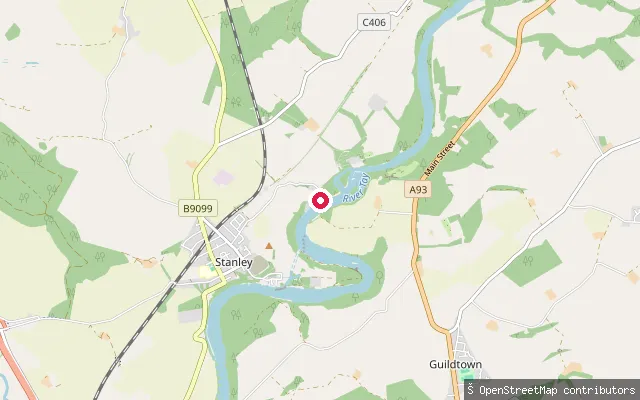
RiverStanley
Perth and Kinross, ScotlandStanley is a village on the north bank of the River Tay about 6 miles north of Perth, built from 1784 to house workers at Stanley Mills. The stretch of the Tay by the village is noted as a popular spot for canoeing, and this node marks a whitewater put-in.
 Loch
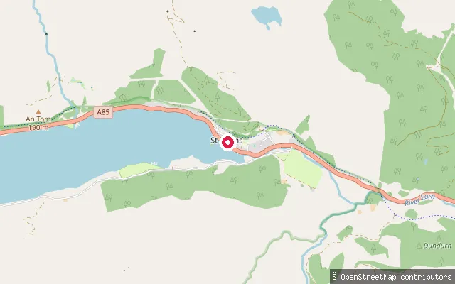
LochSandy Point slipway
Perth and Kinross, ScotlandThis concrete slipway on Loch Earn is at Sandy Point, St Fillans, the base of Loch Earn Sailing Club. A gate on the access track off the A85 suggests club-controlled rather than open public access. The club runs RYA-recognised dinghy and keelboat sailing here through the season.
 River
RiverSCA Isla Access Point
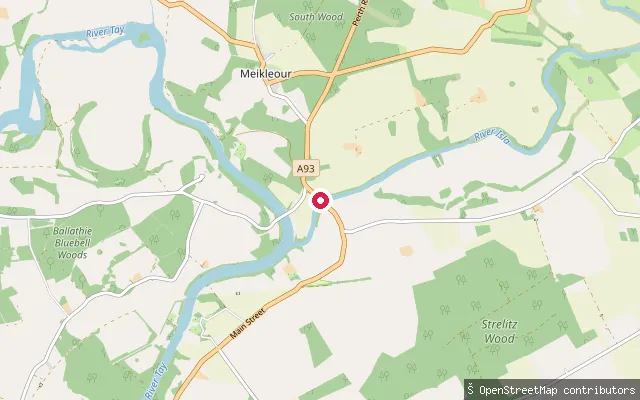
Perth and Kinross, ScotlandThe River Isla flows down Strathmore and joins the River Tay near Meikleour, having already received the River Ericht as a tributary. This access point near Cargill, tagged by the former Scottish Canoe Association (now Paddle Scotland), is a mapped whitewater put-in on the lower Isla.
 Loch
LochRynachulig put-in
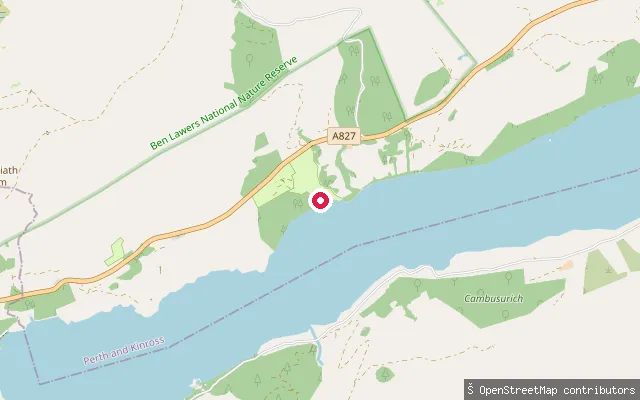
Perth and Kinross, ScotlandThis concrete slipway on Loch Tay serves Loch Tay Highland Lodges at Morenish, near Killin, on the loch's south side. The lodges run a marina offering canoe, kayak and stand-up paddleboard sessions and day moorings. Loch Tay stretches about fourteen miles between Killin and Kenmore.
 Loch
LochLoch Turret slipway
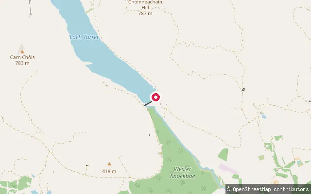
Perth and Kinross, ScotlandThis slipway sits at the dam end of Loch Turret, a Scottish Water reservoir in Glen Turret about five miles northwest of Crieff. The loch covers around 173 hectares and reaches depths of up to 24 metres. Motorised craft are excluded to protect the drinking-water supply, and the site is not widely reported as a paddling spot.
 River
RiverLyon (Lower)
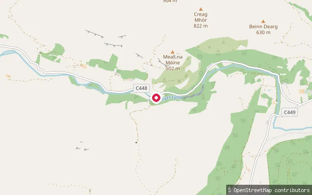
Perth and Kinross, ScotlandThis put-in sits on the River Lyon in Glen Lyon, about four kilometres west of Fortingall. OpenStreetMap marks it as a whitewater access point but records its position as extrapolated rather than surveyed.
 River
RiverLairwell put-in (Perth)
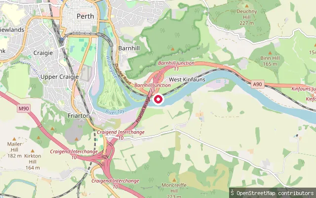
Perth and Kinross, ScotlandThis slipway is on the River Tay at Barnhill on the southern edge of Perth, immediately next to Perth Sailing Club and the dwelling called Lairwell that gives the put-in its name. The river is tidal at this point, a little downstream of the city centre.
 Sea
SeaKingoodie put-in (Invergowrie)
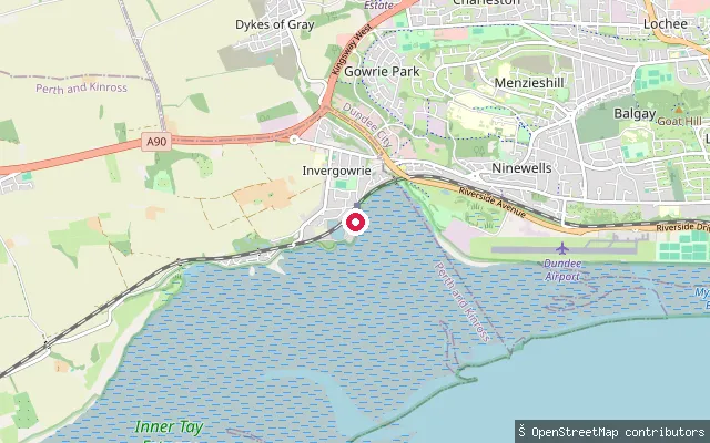
Perth and Kinross, ScotlandKingoodie is a small hamlet on the Firth of Tay about 4 miles southwest of Dundee, administratively within Perth and Kinross despite sitting on the Dundee side of the county boundary. Stone from nearby quarries was once loaded onto barges in Kingoodie Bay, and this mapped slipway sits on the same shoreline near Invergowrie.
 River
RiverKenmore put-in
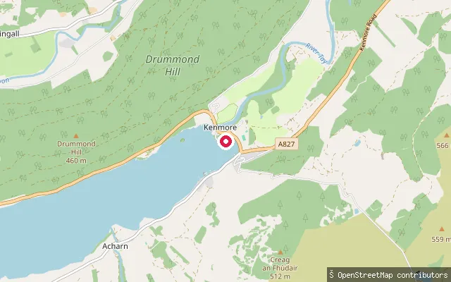
Perth and Kinross, ScotlandThis put-in on Pier Road in Kenmore marks the start of the River Tay, close to where it leaves Loch Tay at the loch's eastern end. OpenStreetMap tags it as a whitewater access point.
 Loch
LochJerusalem put-in
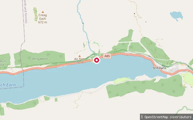
Perth and Kinross, ScotlandThis slipway sits on Loch Earn near St Fillans, close to a car park by Loch Earn Leisure Park. It takes its name from Jerusalem, a long-abandoned croft on the hillside above the loch, reached on foot through Glen Tarken from the west end of the village. Loch Earn runs about six and a half miles between St Fillans and Lochearnhead.
 River
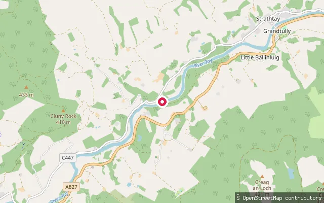
RiverGrandtully WWR SCA Access Point
Perth and Kinross, ScotlandThis is a wild water racing access point on the River Tay at Grandtully, run by the Scottish Canoe Association, now Paddle Scotland. The adjacent campsite sits two minutes' walk from the Grandtully rapids, and the site hosted the 2026 Wild Water Racing European Championships.
 River
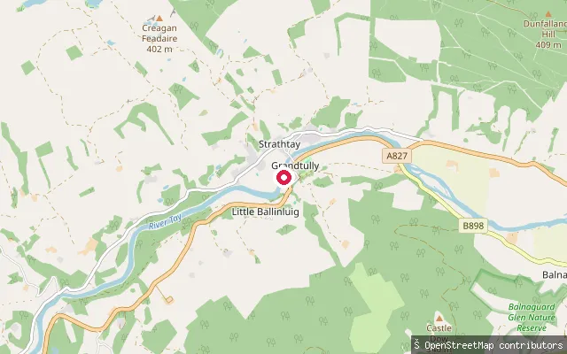
RiverGrandtully Slalom
Perth and Kinross, ScotlandThis put-in on the River Tay is marked on OpenStreetMap as a canoe slalom access point, a short distance downstream of the Grandtully rapids near Strathtay. No independent source beyond the OSM tag confirms built slalom infrastructure at this exact spot.
 River
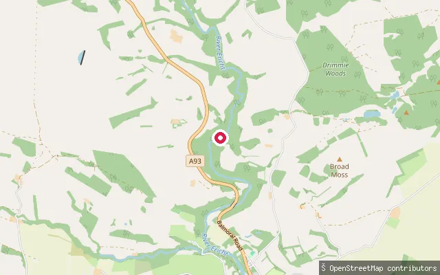
RiverEricht
Perth and Kinross, ScotlandThe River Ericht forms at Bridge of Cally from the confluence of the Black Water and River Ardle, then runs south through the scenic Craighall Gorge before reaching Blairgowrie and Rattray. This point, a few kilometres upstream of the town, is mapped as a whitewater put-in.
 Loch
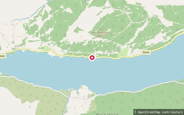
LochEast Camghouran put-in
Perth and Kinross, ScotlandThis slipway lies on the south shore of Loch Rannoch by Camghouran, on the minor road about eight miles west of Kinloch Rannoch. East Camghouran itself is a private cottage reached by its own gated track, so this put-in may serve that property rather than offer open public access. Loch Rannoch has clearly public launch and hire facilities further east at Kinloch Rannoch.
 River
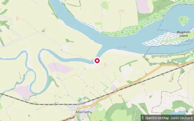
RiverCoronation Crossing
Perth and Kinross, ScotlandThis is the second of two paved slipways named Coronation Crossing on Coronation Road near Abernethy, about 150 metres south of the other, on the River Tay close to its confluence with the River Earn. Access is tagged as permissive rather than guaranteed, and trailers are not accommodated here.
 River
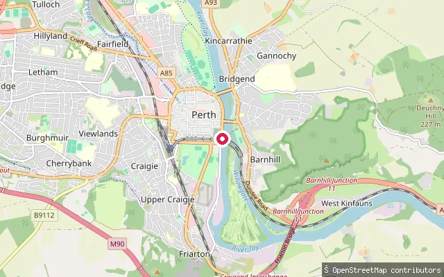
RiverBridgend put-in (Perth)
Perth and Kinross, ScotlandThis slipway sits on the River Tay in Bridgend, on the south side of Perth city centre, reached by a gated service track off Tay Street. The Tay becomes tidal a short distance below Perth.
 River
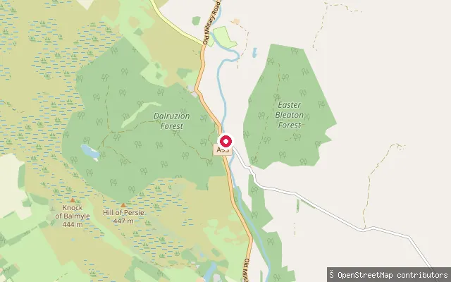
RiverBlack Water
Perth and Kinross, ScotlandThe Black Water is a Perthshire river that joins the River Ardle at Bridge of Cally to form the River Ericht. This point, upstream of that confluence, is mapped as a whitewater put-in for kayakers and canoeists.
 River
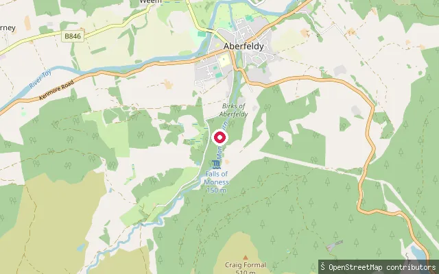
RiverBirks O Aberfeldy
Perth and Kinross, ScotlandThis put-in sits on the Moness Burn in the Birks of Aberfeldy, a wooded gorge and waterfall walk on the southern edge of Aberfeldy protected as a Site of Special Scientific Interest. OpenStreetMap tags the point as a whitewater access point but records no further detail.
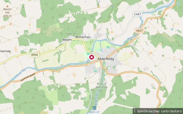 River
RiverAberfeldy
Perth and Kinross, ScotlandThis is a put-in on the River Tay at Aberfeldy, tagged on OpenStreetMap as a whitewater access point in the town. The Tay reaches Aberfeldy a few miles below Loch Tay, which it drains at Kenmore upstream.
Save your own spots
Keep the places you launch, check the wind and shelter before you go, and log every paddle. Add a spot to the directory too, and other paddlers will find it. Free to start.
Some launch spots in this directory are seeded from open data. © OpenStreetMap contributors · Open Database Licence (ODbL) · Machine-readable copy