Paddleboarding spots in Scottish Borders
9 launch spots across Scottish Borders
Every mapped spot in Scottish Borders
Zoom in to split a cluster; open a pin for the spotMap of every spot in Scottish Borders
The interactive map opens on any device with JavaScript. The full list of launch spots is below.
Launch spots
Showing 9 of 9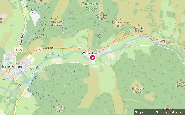 River
RiverWest Bold put-in (Walkerburn)
Scottish Borders, ScotlandWest Bold is a canoe put-in on the River Tweed just west of Walkerburn in the Scottish Borders, tagged on OpenStreetMap as a canoe access point. It lies on the Tweed Valley Canoe Trail's Walkerburn-to-Glenkinnon section, a 30-mile waymarked route between Stobo and Galafoot Bridge promoted for paddling between April and September.
 River
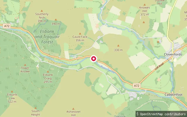
RiverGlenbenna put-in (Walkerburn)
Scottish Borders, ScotlandThis is a whitewater put-in on the River Tweed near Glenbenna, on the A72 between Walkerburn and Caddonfoot in the Scottish Borders. The harvested name for this spot was just the council area, so it has been renamed to the nearest identifiable place.
 River
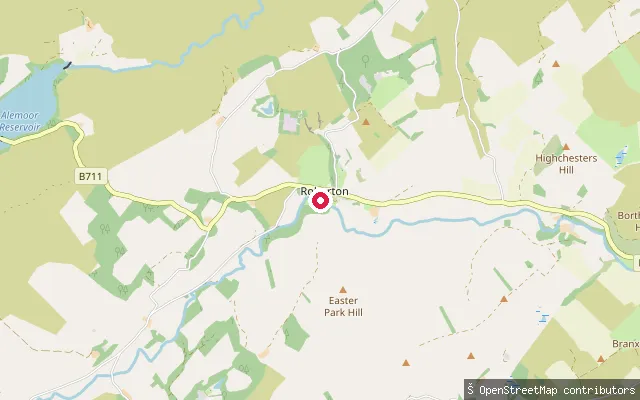
RiverRoberton put-in
Scottish Borders, ScotlandThis is a slipway on Borthwick Water at Roberton, a small village on the B711 about five miles from Hawick in the Scottish Borders. Borthwick Water is a tributary of the River Teviot, which it joins at Borthaugh near Hawick.
 River
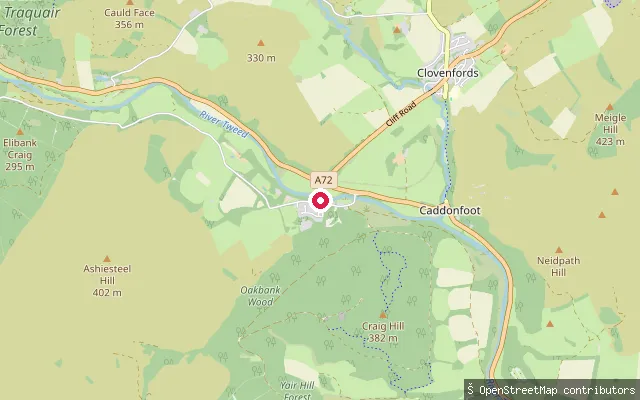
RiverPeel put-in (Caddonfoot)
Scottish Borders, ScotlandPeel is a named reach of the River Tweed near Yair Bridge, close to Caddonfoot in the Scottish Borders, used as a get-in for the stretch down to Fairnilee Farm. The nearby Fairnilee slalom site, just below Yair Bridge, hosts grade 2 whitewater slalom courses and the annual River Tweed festival.
 River
RiverLeaderfoot Viaduct
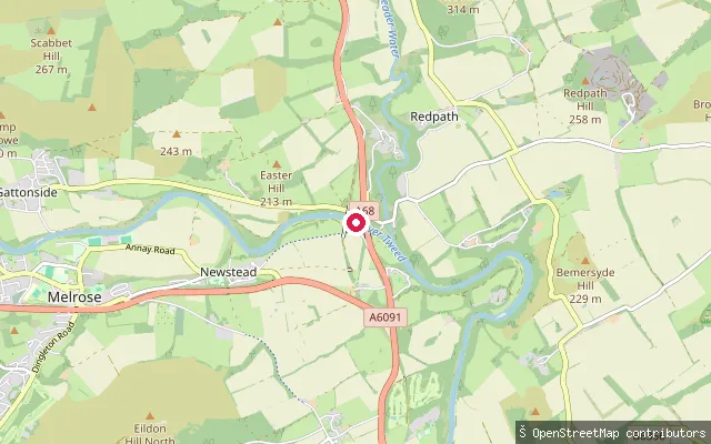
Scottish Borders, ScotlandThis put-in is on the River Tweed at Leaderfoot, near Melrose, beneath the Grade A listed Leaderfoot (Drygrange) Viaduct, a 19-arch former railway viaduct opened in 1863. Paddlers descending the Tweed from Melrose pass under its high stone arches shortly after this point.
 Sea
SeaEyemouth Harbour slipway
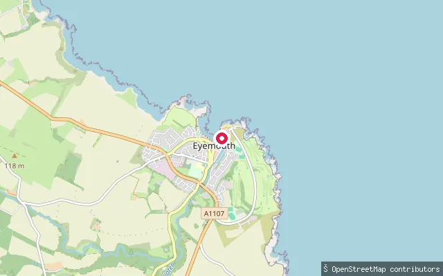
Scottish Borders, ScotlandThis slipway sits at Eyemouth Harbour on the Berwickshire coast, the largest fishing harbour of the string of villages along this shore. Eyemouth Marine operates slipways and lift-out facilities at the harbour for boat servicing and launching.
 River
RiverGlenormiston put-in (Innerleithen)
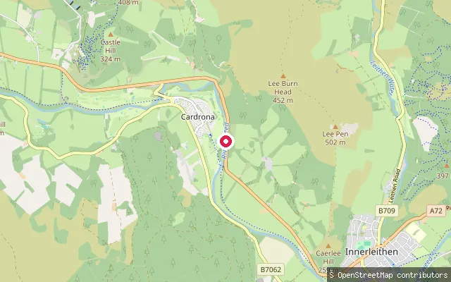
Scottish Borders, ScotlandGlenormiston is a stretch of the River Tweed just upstream of Innerleithen in the Scottish Borders, named after the Glenormiston estate on its bank. OpenStreetMap marks a whitewater put-in here on the A72 corridor between Peebles and Innerleithen.
 Sea
SeaBurnmouth Harbour slipway
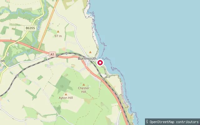
Scottish Borders, ScotlandThis is a coastal slipway at Burnmouth, a fishing village built into the cliffs on the Berwickshire coast a mile north of the English border. The harbour, established in the 1830s and later extended, sits below Upper Burnmouth at the foot of the cliff and is exposed to the open North Sea.
 River
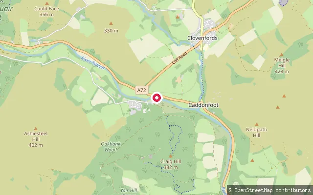
RiverAshiestiel
Scottish Borders, ScotlandAshiestiel is a stretch of the River Tweed below the historic Ashiestiel House near Clovenfords, close to Caddonfoot in the Scottish Borders. Sir Walter Scott lived at the house from 1804 to 1812, and the estate still holds fishing rights on this bank of the river.
Save your own spots
Keep the places you launch, check the wind and shelter before you go, and log every paddle. Add a spot to the directory too, and other paddlers will find it. Free to start.
Some launch spots in this directory are seeded from open data. © OpenStreetMap contributors · Open Database Licence (ODbL) · Machine-readable copy