Paddleboarding spots in Moray
13 launch spots across Moray
Every mapped spot in Moray
Zoom in to split a cluster; open a pin for the spotMap of every spot in Moray
The interactive map opens on any device with JavaScript. The full list of launch spots is below.
Launch spots
Showing 13 of 13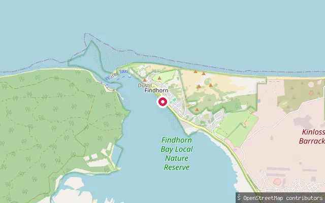 Sea
SeaStrauny Slipway
Moray, ScotlandStrauny Slipway sits on the shore of Findhorn Bay next to Findhorn village. The bay is a large tidal basin drained by the River Findhorn and the Muckle Burn, and its shallow water and lack of significant wave action make it popular for sailing and windsurfing.
 Sea
SeaStotfield put-in (Lossiemouth)
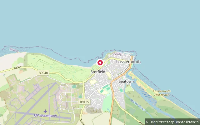
Moray, ScotlandThis slipway opens directly onto the open coast at Stotfield, the older fishing settlement that lies northwest of Lossiemouth's centre and predates the harbour built at Branderburgh in 1837-39. Unlike the town's sheltered harbour basins, it launches straight onto the Moray Firth, with Lossiemouth's West Bay and Covesea Lighthouse further along the coast to the west.
 River
RiverRandolph's Leap
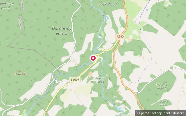
Moray, ScotlandRandolph's Leap is a narrow gorge on the River Findhorn near Relugas and Logie House in Moray, designated a Site of Special Scientific Interest for its sheer rock banks, cliffs and waterfalls. It is marked on OpenStreetMap as a whitewater put-in and sits on a well-known paddling stretch of the Findhorn.
 Sea
SeaPortknockie put-in
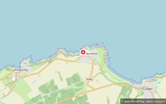
Moray, ScotlandPortknockie Harbour sits below the village in a small bay sheltered by the Green Castle headland on the Moray Firth coast. The current harbour dates from 1890 and was built for access at all states of the tide, reached from the village by a steep approach road. Bow Fiddle Rock, a wave-cut sea arch, is a short walk east along the coast path.
 Sea
SeaGordonsburgh put-in (Buckie)
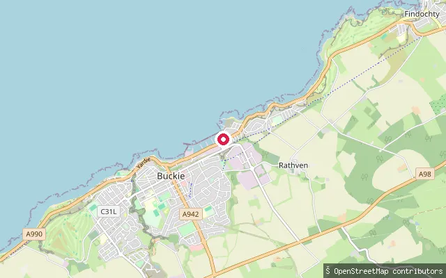
Moray, ScotlandThis slipway sits in Buckie Harbour, historically called Cluny Harbour, on the Moray Firth coast in Buckie's Gordonsburgh district. The harbour was built in 1877 by the Cluny family and has several basins used by the local fishing fleet, so a paddler launching here shares the water with working boat traffic.
 Sea
SeaFindhorn Slipway
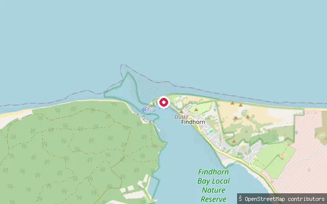
Moray, ScotlandThis slipway sits on the shore of Findhorn Bay in Findhorn village, Moray. The bay is a large tidal basin rather than a true bay, generally shallow at around 2 metres and reaching about 10 metres in its seaward channel, and it is used by sailors and windsurfers thanks to its sheltered, low-wave conditions.
 Sea
SeaFindhorn put-in
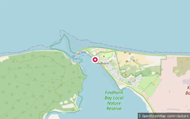
Moray, ScotlandThis slipway sits close to the mouth of Findhorn Bay, on the west side of Findhorn village, near the bay's entrance channel to the Moray Firth. That channel is the bay's deepest point, around 10 metres, and is enclosed by a large sand spit known as the Bar.
 Sea
SeaFindhorn Ecovillage put-in
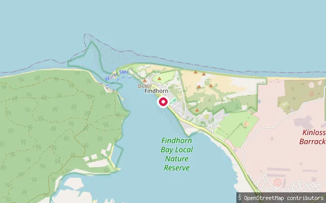
Moray, ScotlandThis slipway sits by the Findhorn Ecovillage, on the shore of Findhorn Bay near Findhorn village. Findhorn Bay is a large tidal basin rather than a true bay, drained by the River Findhorn and the Muckle Burn, and its shallow, largely wave-free water is popular for sailing and windsurfing.
 Sea
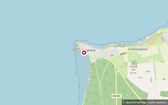
SeaBurghead put-in
Moray, ScotlandThis slipway lies on the Burghead coastline a short distance east of the harbour, on the Moray Firth. Burghead occupies a peninsula surrounded by water on three sides, with its harbour pier facing across the firth towards Findhorn.
 Sea
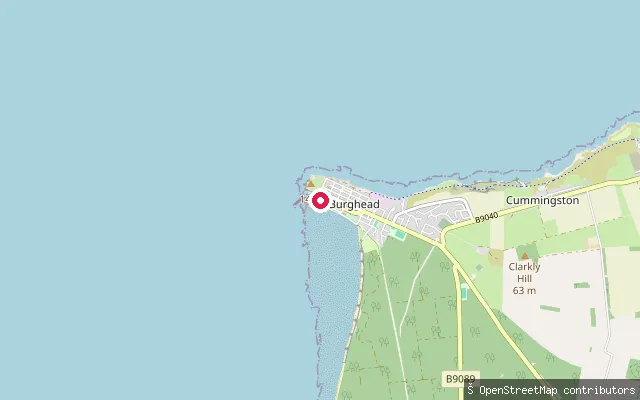
SeaBurghead put-in
Moray, ScotlandThis slipway serves Burghead harbour, on the peninsula that Burghead is built on, projecting into the Moray Firth with water on three sides of the town. Moray Council classes the harbour as primarily commercial, though it also accommodates leisure boats, and its North Quay was upgraded in 2007.
 Sea
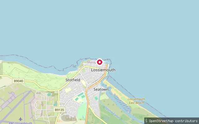
SeaBranderburgh put-in (Lossiemouth)
Moray, ScotlandThis slipway is in Lossiemouth's eastern harbour, converted into a yachting marina, in the town's Branderburgh district on the Moray Firth. The original harbour on this site dates to 1835, with a further basin added inside the North Pier in 1957; the adjoining northern harbour still holds a working fishing fleet and fish market.
 River
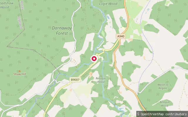
RiverBefore Randolph's
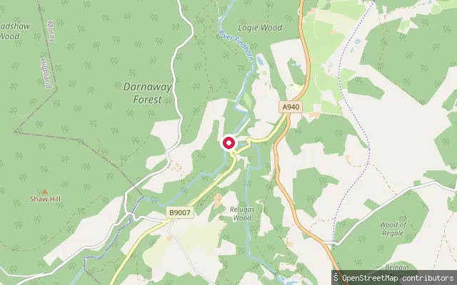
Moray, ScotlandThis is a whitewater put-in on the River Findhorn, on the upstream side of the Randolph's Leap gorge near Relugas in Moray. It marks the approach to the narrow rock-walled Randolph's Leap section on a stretch used by whitewater paddlers.
 River
RiverAfter Randolph's
Moray, ScotlandThis is a whitewater put-in on the River Findhorn, on the downstream side of the Randolph's Leap gorge near Relugas in Moray. The river here runs through a narrow rock-walled stretch that forms part of the Lower Findhorn paddling run.
Save your own spots
Keep the places you launch, check the wind and shelter before you go, and log every paddle. Add a spot to the directory too, and other paddlers will find it. Free to start.
Some launch spots in this directory are seeded from open data. © OpenStreetMap contributors · Open Database Licence (ODbL) · Machine-readable copy