Paddleboarding spots in Na h-Eileanan Siar
100 launch spots across Na h-Eileanan Siar
Every mapped spot in Na h-Eileanan Siar
Zoom in to split a cluster; open a pin for the spotMap of every spot in Na h-Eileanan Siar
The interactive map opens on any device with JavaScript. The full list of launch spots is below.
Launch spots
Showing 24 of 100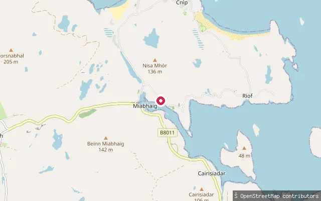 Sea
SeaÙigean put-in (Cairisiadar)
Na h-Eileanan Siar, ScotlandA slipway on the West Loch Roag shore near Cairisiadar, part of the same small cluster of launch points as the neighbouring OSM-mapped slipways on this stretch of coast.
 Sea
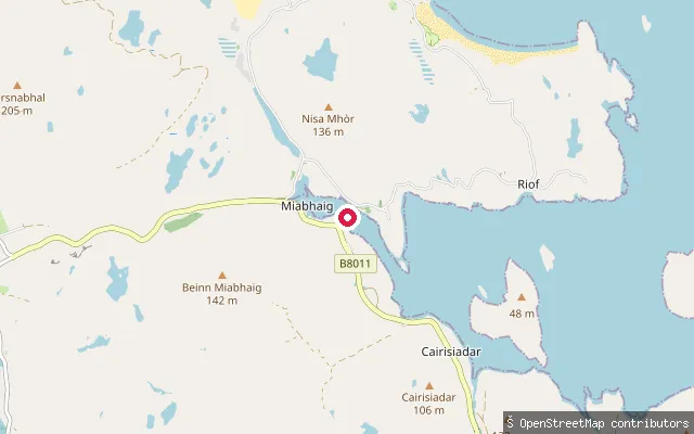
SeaÙigean put-in (Cairisiadar)
Na h-Eileanan Siar, ScotlandA slipway on the West Loch Roag shore near Cairisiadar, part of the same small cluster of launch points as the neighbouring OSM-mapped slipways on this stretch of coast.
 Sea
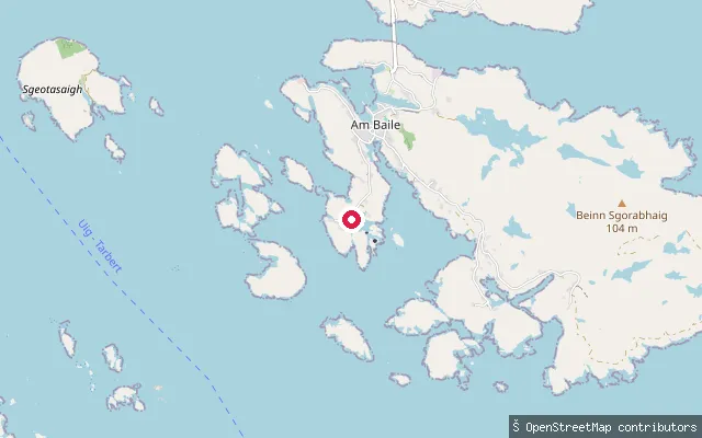
SeaÀird na Cille put-in (Scalpay)
Na h-Eileanan Siar, ScotlandÀird na Cille is a small hamlet on Scalpay, an island lying in the entrance to East Loch Tarbert and linked to Harris by the Scalpay Bridge since 1997. This is a mapped slipway added from aerial imagery and local knowledge.
 Sea
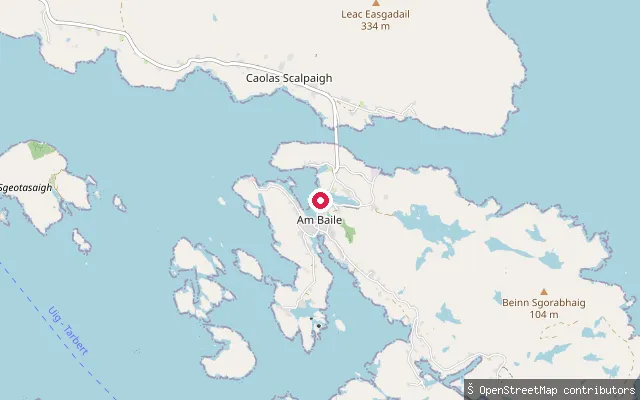
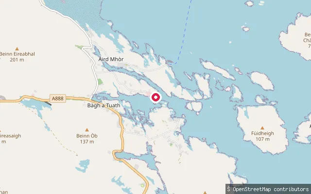
SeaÀird an Aiseig put-in (Scalpay)
Na h-Eileanan Siar, ScotlandÀird an Aiseig ('point of the ferry') is a peninsula forming the northern side of North Harbour, Scalpay's main harbour, about a quarter-mile north of the village. Before the Scalpay Bridge opened in 1997 this was the ferry crossing point to Harris. North Harbour has a community-owned slipway free of charge north of the pier, alongside commercial fishing and pontoon facilities.
 Sea
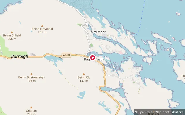
SeaArdmhor slipway
Na h-Eileanan Siar, ScotlandThis concrete-approach slipway sits in the small harbour at Ardmhor on Barra's north-east tip, a short walk from the CalMac ferry terminal that crosses the Sound of Barra to Eriskay.
 Sea
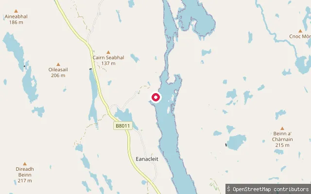
SeaÀird Mhithinis put-in (Àird Mhòr)
Na h-Eileanan Siar, ScotlandThis slipway lies on Barra's north-east coast in the hamlet of Àird Mhithinis, close to the village of Bàgh a Tuath (North Bay), looking out over the Sound of Barra towards Eriskay and South Uist.
 Sea
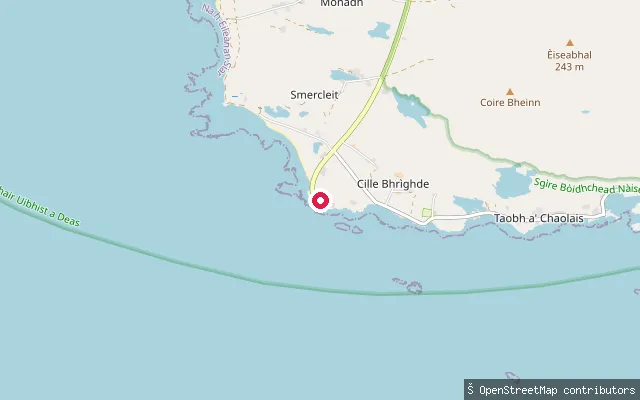
SeaUngaisiadar put-in (Eanacleit)
Na h-Eileanan Siar, ScotlandThis slipway launches onto Little Loch Roag, close to Ungaisiadar (Ungeshader), a former crofting township of just four crofts on the east shore near the narrows, opposite Eanacleit (Enaclete) on the loch's west shore, in Uig parish on Lewis. Stone piers and landing stages along this shore once supported inshore fishing and boat transport between these small townships.
 Sea
SeaSmerclate slipway
Na h-Eileanan Siar, ScotlandThis slipway lies on South Uist's Atlantic-facing west coast near the scattered township of Smerclate (Smercleit), part of a roughly 20-mile run of sandy beach backed by machair that stretches along the island's western side, broken only by one headland. The harvested name 'Tiobartan' belongs to a holy well recorded in local Gaelic folklore, not to this stretch of shore, so the location has been renamed to reflect the Smerclate locality.
 Sea
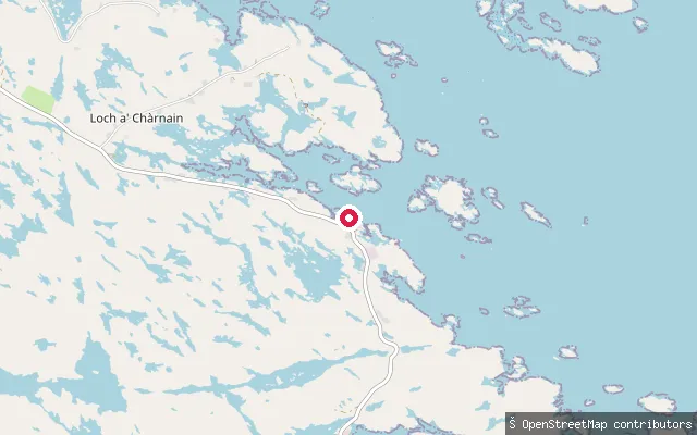
SeaTholmair put-in
Na h-Eileanan Siar, ScotlandA slipway on South Uist's east coast near the village of Loch a' Chàrnain, which takes its name from the sea loch on this stretch of coast. The point is car-accessible, per its OSM seamark tagging.
 Sea
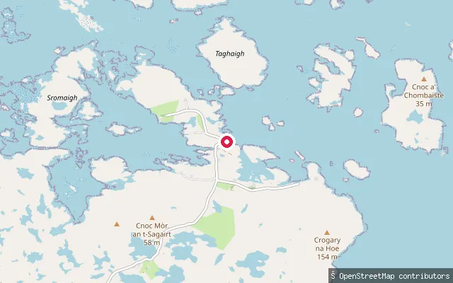
SeaTaigh na Thobha put-in (Bagh a' Chàise)
Na h-Eileanan Siar, ScotlandA concrete slipway at the dwelling of Taigh na Thobha on Bagh a' Chàise (Cheese Bay), an inlet on North Uist's north-east coast open to the Little Minch. Bagh a' Chàise is a remote, scattered crofting township about 6.5km north-east of Lochmaddy, and the bay has historically served as an anchorage alternative to Lochmaddy.
 Sea
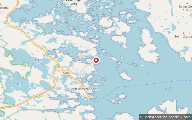
SeaSpònais put-in (Loch nam Madadh)
Na h-Eileanan Siar, ScotlandA concrete slipway at the northern end of the Sponish shore of Loch nam Madadh (Lochmaddy), the large sea loch on North Uist's east coast. It is the northernmost of a cluster of small launch points along this stretch of shore.
 Sea
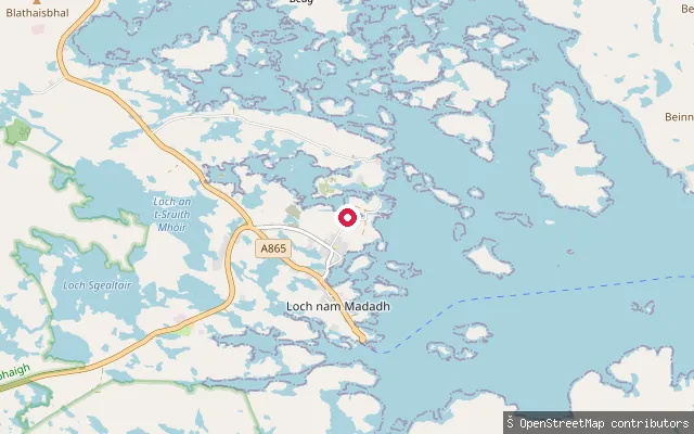
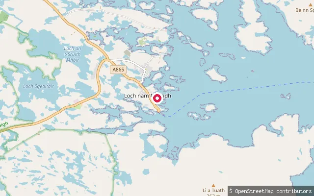
SeaSpònais put-in (Loch nam Madadh)
Na h-Eileanan Siar, ScotlandA concrete slipway on the Sponish shore of Loch nam Madadh (Lochmaddy), the large sea loch on North Uist's east coast. It is one of a cluster of small launch points along this shore, a short distance north of Lochmaddy village.
 Sea
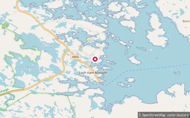
SeaSpònais put-in (Loch nam Madadh)
Na h-Eileanan Siar, ScotlandA slipway on the Sponish shore of Loch nam Madadh (Lochmaddy), the large, islet-studded sea loch on North Uist's east coast. The put-in lies within the same small cluster of launch points serving the Sponish peninsula opposite Lochmaddy village.
 Sea
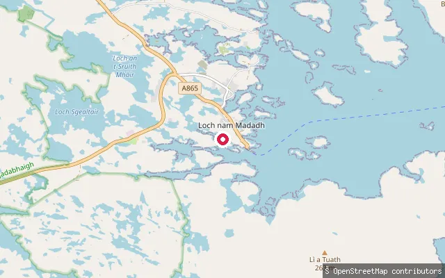
SeaSpònais put-in (Loch nam Madadh)
Na h-Eileanan Siar, ScotlandA slipway on the Sponish shore of Loch nam Madadh (Lochmaddy), the large sea loch on North Uist's east coast. It is one of a cluster of small launch points along this shore, north of Lochmaddy village.
 Sea
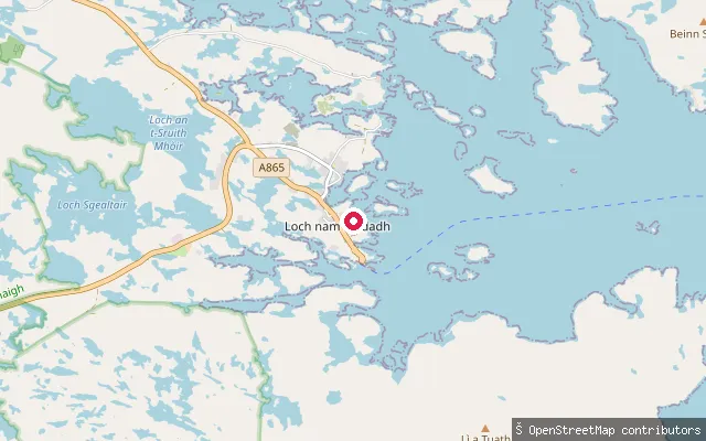
SeaSpònais put-in (Loch nam Madadh)
Na h-Eileanan Siar, ScotlandA slipway on the Sponish shore of Loch nam Madadh (Lochmaddy), a large sea loch on North Uist's east coast studded with islets and rocky skerries. Wave exposure in the loch grades from moderately exposed near the mouth to very sheltered in the inner basins, where Lochmaddy's marina and ferry pier sit across the water.
 Sea
SeaSpònais put-in (Loch nam Madadh)
Na h-Eileanan Siar, ScotlandA slipway on the Sponish shore of Loch nam Madadh (Lochmaddy), the large sea loch on North Uist's east coast. It is one of a cluster of small launch points along this shore, close to Lochmaddy village and its marina.
 Sea
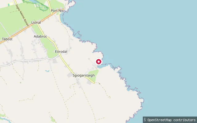
SeaSkigersta slipway
Na h-Eileanan Siar, ScotlandA slipway at Skigersta (Sgiogarstaigh), the easternmost settlement in the Ness district of Lewis, about three miles south-east of the Butt of Lewis, launching onto the North Minch over a shingle beach. The quay here dates from 1901 and a man-made channel was cut along the shoreline for boat access; ruined 19th-century fish-curing bothies still stand beside the nearby river.
 Sea
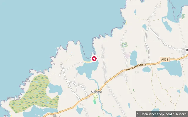
SeaSiabost put-in
Na h-Eileanan Siar, ScotlandThis slipway launches onto Traigh Siabost, a sandy Atlantic beach roughly 200 metres long on the West Side of Lewis, flanked by low crags and cliffs. Free roadside parking sits at the road end beside the slipway, and a coastal path continues from here towards Dalbeg and Bragar.
 Sea
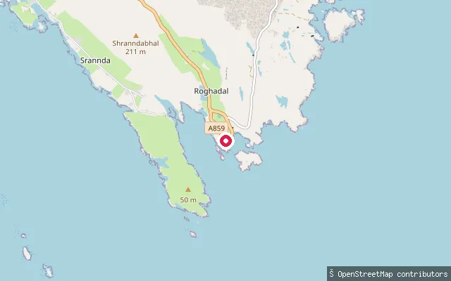
SeaRoghadal put-in
Na h-Eileanan Siar, ScotlandA slipway at Rodel Harbour on the southern tip of Harris, overlooking the sea loch of Loch Rodel. Rodel was historically the main harbour for Harris before Tarbert took over the role, and it stands close to the medieval St Clement's Church and the Rodel Hotel.
 Sea
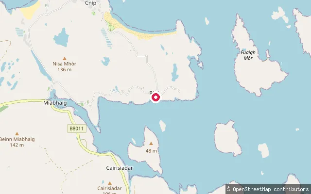
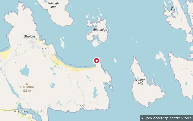
SeaRiof put-in
Na h-Eileanan Siar, ScotlandA second slipway near Reef (Riof) on the Bhaltos peninsula, further south along the same shore as Traigh na Beirigh (Reef Beach), the sandy bay used locally for wild swimming, kayaking and canoeing.
 Sea
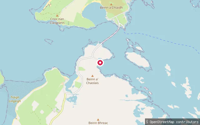
SeaRiof put-in
Na h-Eileanan Siar, ScotlandA slipway near Reef (Riof) on the Bhaltos peninsula, a former crofting township cleared for sheep farming in the 19th century under Sir James Matheson. It gives access to the West Loch Roag shore by Traigh na Beirigh (Reef Beach), a mile-long stretch of sand and turquoise water backed by machair.
 Sea
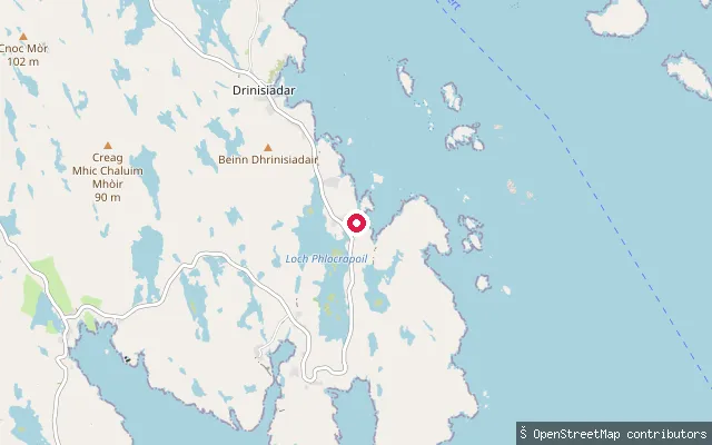
SeaPort nan Long slipway (Newtonferry)
Na h-Eileanan Siar, ScotlandThis slipway lies at Port nan Long, known in English as Newtonferry, a small crofting settlement on the north coast of North Uist whose Gaelic name means harbour of the ships. It was the departure point for the passenger ferry to Berneray until the causeway opened in 1998, and it looks out over the Sound of Harris towards Berneray.
 Sea
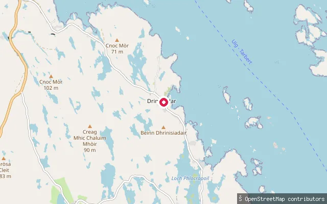
SeaPlocropol put-in (Drinisiadar)
Na h-Eileanan Siar, ScotlandThis is a second put-in at Plocropol, a Bays township on the shore of Loch Phlocrapoil, one of the many small, island-studded sea lochs on the east side of Harris. It sits further along the shore towards Cluer than the other mapped Plocropol slipway. It is tagged on OpenStreetMap simply as a slipway.
 Sea
SeaPlocropol put-in (Drinisiadar)
Na h-Eileanan Siar, ScotlandPlocropol (also spelled Plocrapol) is a Bays township on the shore of Loch Phlocrapoil, one of the many small, island-studded sea lochs of the cnoc-and-lochan coast on the east side of Harris. The Ordnance Survey names the settlement Plocrapol but records the adjoining loch as Loch Procrapoil, a spelling variant of the same name. The put-in here is a mapped slipway on the Golden Road.
Save your own spots
Keep the places you launch, check the wind and shelter before you go, and log every paddle. Add a spot to the directory too, and other paddlers will find it. Free to start.
Some launch spots in this directory are seeded from open data. © OpenStreetMap contributors · Open Database Licence (ODbL) · Machine-readable copy