Paddleboarding spots in Na h-Eileanan Siar
100 launch spots across Na h-Eileanan Siar
Every mapped spot in Na h-Eileanan Siar
Zoom in to split a cluster; open a pin for the spotMap of every spot in Na h-Eileanan Siar
The interactive map opens on any device with JavaScript. The full list of launch spots is below.
Launch spots
Showing 24 of 100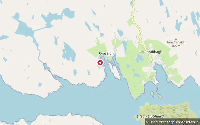 Sea
SeaOrasaigh put-in
Na h-Eileanan Siar, ScotlandThis concrete slipway serves Orasaigh (Orinsay), a crofting township on Loch Shell (Loch Sealg) in the Pairc peninsula on the Isle of Lewis. The loch's mouth is sheltered by the island of Eilean Liubhaird a short distance east near Lemreway, and the Shiant Islands are visible from the shore.
 Sea
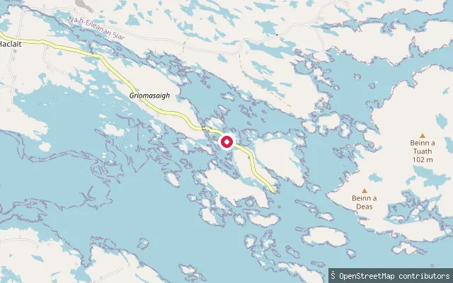
SeaPort Pheadair slipway (north)
Na h-Eileanan Siar, ScotlandThis concrete slipway sits on the B891 coast road on the east coast of South Uist in the Outer Hebrides, about 1km north of Port Pheadair and close to Lochcarnan. It opens onto the Sea of the Hebrides, the stretch of water between the southern Outer Hebrides and Skye.
 Loch
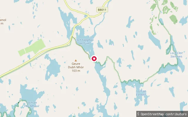
LochUig hill-loch slipway
Na h-Eileanan Siar, ScotlandThis slipway sits on a small hill loch in the Uig moorland of west Lewis, an area of the Outer Hebrides let by sporting estates for hill-loch trout and salmon fishing. The nearest named waters on current mapping, Loch Cleite na h-Oidhche and Loch Faoghail Charrasan, lie several hundred metres away, but the loch at this exact point is not named on OpenStreetMap.
 Sea
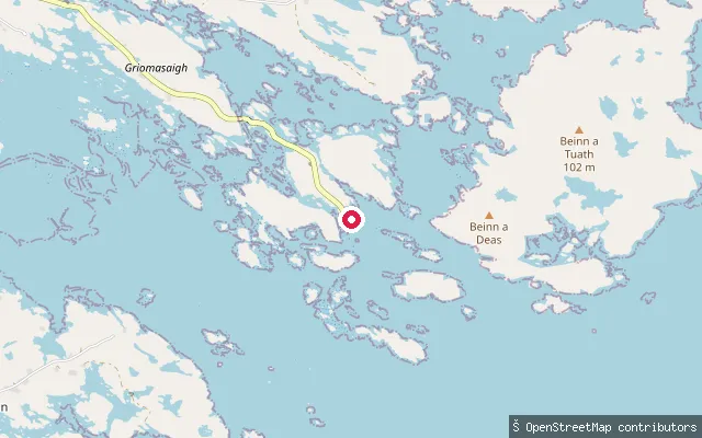
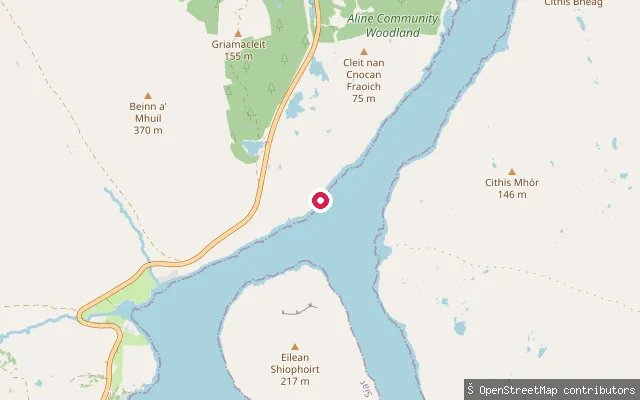
SeaPort Pheadair slipway
Na h-Eileanan Siar, ScotlandThis slipway sits at Port Pheadair, a small named locality on the east coast of South Uist in the Outer Hebrides, close to Lochcarnan. It opens onto the Sea of the Hebrides, the stretch of water between the southern Outer Hebrides and Skye.
 Loch
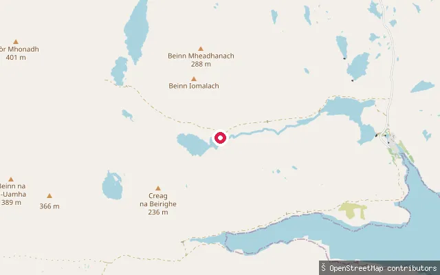
LochUig moorland slipway
Na h-Eileanan Siar, ScotlandThis slipway lies on remote moorland south of Uig Sands on Lewis's west coast, close to the line of the Hebridean Way long-distance trail. The nearest mapped water is a small unnamed loch a few hundred metres away, and no named water body is recorded at the coordinate itself.
 Loch
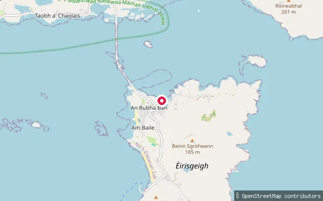
LochLoch na Beirighe slipway
Na h-Eileanan Siar, ScotlandLoch na Beirighe is one of the trout and salmon lochs of the Eishken Estate in Pairc, on the remote south-east coast of Lewis. The estate runs boats on its principal fishing lochs and also lists watersports among its activities across its 43,000 acres.
 Sea
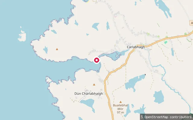
SeaRubha Bàn slipway (Eriskay)
Na h-Eileanan Siar, ScotlandThis concrete slipway sits at Rubha Bàn, the settlement at Eriskay's north-western tip closest to the causeway that has linked the island to South Uist since 2001. It faces the Sound of Eriskay, the tidal strait the causeway crosses, opposite the Ludag slipway on South Uist.
 Sea
SeaNa Gearrannan put-in (Càrlabhagh)
Na h-Eileanan Siar, ScotlandThis concrete slipway serves the bay below Na Gearrannan (Garenin), a former crofting township on Lewis's west coast restored as a blackhouse heritage village at the end of a single access road. Nine thatched blackhouses were restored here by 2001, and the settlement fronts an open Atlantic bay that sources refer to only as the village bay, with no separately mapped name found.
 Sea
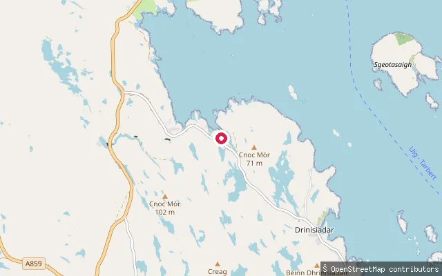
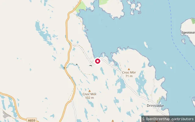
SeaMiabhaig nam Bàgh put-in (Drinisiadar)
Na h-Eileanan Siar, ScotlandThis is a second put-in at Miabhaig nam Bàgh, a small township on the shore of East Loch Tarbert grouped with neighbouring Direcleit and Ceann Dibig in local croft records. The name is Norse in origin, meaning roughly 'narrow bay'. It is mapped on OpenStreetMap as a slipway.
 Sea
SeaMiabhaig nam Bàgh put-in (Drinisiadar)
Na h-Eileanan Siar, ScotlandMiabhaig nam Bàgh is a small township on the shore of East Loch Tarbert, grouped with neighbouring Direcleit and Ceann Dibig in local croft records. The name is Norse in origin, meaning roughly 'narrow bay'. The put-in here is a mapped slipway reached by a short service track off the Golden Road.
 Sea
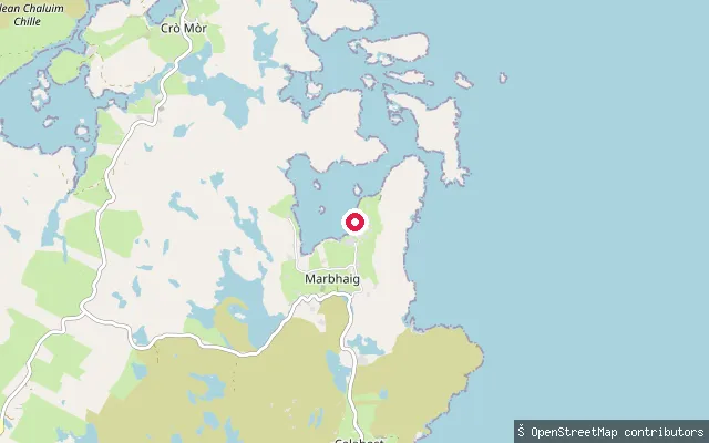
SeaMarbhaig put-in
Na h-Eileanan Siar, ScotlandThis is one of several mapped slipways serving crofts around Marvig (Marbhaig), a hamlet on the southern shore of Loch Marvig near the mouth of Loch Erisort on Lewis's South Lochs coast. It sits slightly further east than the other three mapped Marvig slipways in this set.
 Sea
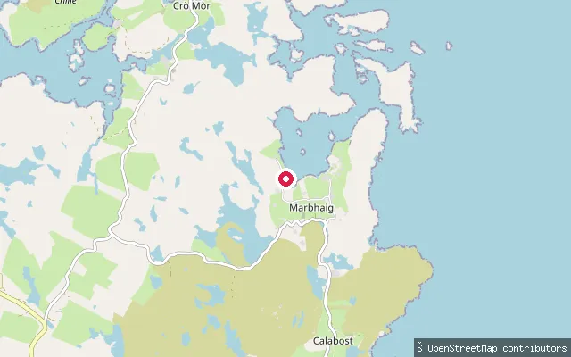
SeaMarbhaig put-in
Na h-Eileanan Siar, ScotlandThis slipway is one of several small crofters' landing points around Marvig (Marbhaig), a hamlet on the southern shore of Loch Marvig, just south of where Loch Erisort meets the sea. The wider South Lochs area is dotted with more than 200 small fresh and saltwater lochs.
 Sea
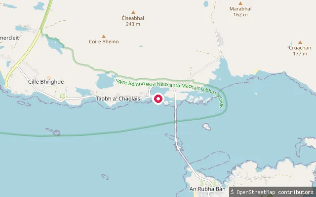
SeaLùdag put-in (Taobh a' Chaolais)
Na h-Eileanan Siar, ScotlandLudag is a small settlement at the southern tip of South Uist, about 3.5 miles south of Lochboisdale, where a concrete slipway gives access to the Sound of Eriskay, the strait now crossed by the causeway to Eriskay. Before the causeway opened in 2001 this slipway was the mainland end of the ferry crossing to Eriskay.
 Sea
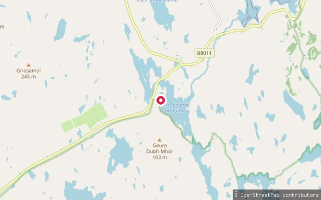
SeaLinsiadar put-in
Na h-Eileanan Siar, ScotlandThis slipway sits at Linshader (Linsiadar) on Lewis's west coast, at the entrance to Loch Ceann Hulabhig (Kinhoulavig), an inlet of East Loch Roag opposite the Callanish Standing Stones. A second slipway also recorded as a Linsiadar put-in lies about 3 kilometres to the north on the same loch system.
 Sea
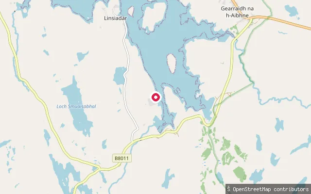
SeaLinsiadar put-in
Na h-Eileanan Siar, ScotlandThis second slipway, about 3 kilometres north of the other Linsiadar put-in recorded in this area, also opens onto an arm of East Loch Roag close to the village of Linshader (Linsiadar), which looks across the loch towards the Callanish Standing Stones.
 Sea
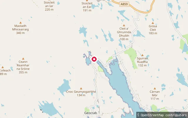
SeaLiceasto put-in (Geocrab)
Na h-Eileanan Siar, ScotlandLickisto (Liceasto) is a small township on the Golden Road in the Bays of Harris, overlooking Loch Stockinish, a sea loch on the southeast coast of South Harris about 9km south-southwest of Tarbert. Lickisto Blackhouse Camping, the well-known local campsite beside this put-in, offers kayaking and paddleboarding directly on the loch.
 Sea
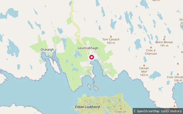
SeaLeumrabhagh put-in
Na h-Eileanan Siar, ScotlandThis concrete slipway is at Lemreway (Leumrabhagh), a small crofting and fishing village on the shore of Loch Shell (Loch Sealg) in the South Lochs area of Lewis. The village was cleared in 1843 and later resettled; several other cleared settlements lie further round the loch shore.
 Sea
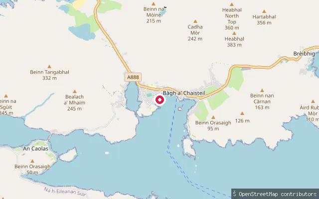
SeaNasg slipway (Castlebay)
Na h-Eileanan Siar, ScotlandThis slipway lies at Nasg, a small settlement on the shore of Castlebay east of the main village, within the wider bay that gives Barra's capital its name and shelters Kisimul Castle offshore. It has a concrete surface with permissive access and is marked on nautical charts as reachable by car. Castlebay itself has a marina with fuel and water available on the pier, plus a leisure centre with a pool and showers nearby.
 Sea
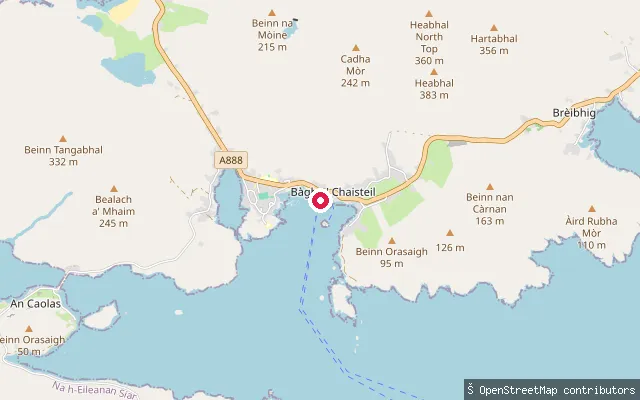
SeaLeideag slipway (Castlebay)
Na h-Eileanan Siar, ScotlandThis slipway lies at Leideag, a small settlement on the shore of Castlebay east of the main village, within the wider bay that shelters Kisimul Castle and gives Barra's capital its name. Leideag's Gaelic name is thought to describe a flat piece of ground beside the sea. Castlebay itself has a marina with fuel and water available on the pier, plus a leisure centre with a pool and showers nearby.
 Loch
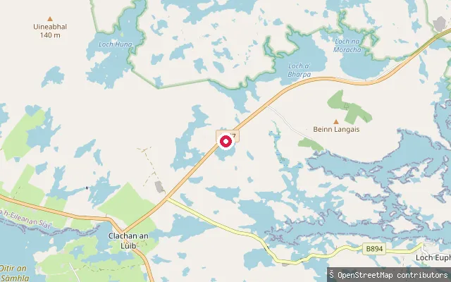
LochLangais put-in
Na h-Eileanan Siar, ScotlandA slipway on Loch Tormasad Beag, a small freshwater loch near Clachan an Lùib on North Uist, close to the Langais area and its chambered cairns. The loch is one of the freshwater trout lochs worked by North Uist Angling Club rather than a sea loch.
 Sea
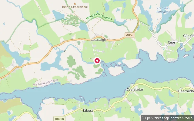
SeaLacasaigh put-in
Na h-Eileanan Siar, ScotlandThis slipway is at Laxay (Lacasaigh), a village on the north side of Loch Erisort about 9 miles southwest of Stornoway. The name is thought to derive from Old Norse for "salmon river".
 Sea
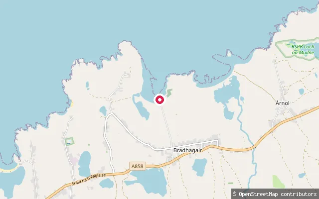
SeaLabost put-in (Bradhagair)
Na h-Eileanan Siar, ScotlandThis slipway sits at Labost, a small crofting hamlet on the Atlantic coast between Shawbost and Bragar on Lewis's West Side. No specific bay or beach name for this launch point could be verified, though the setting matches the string of coastal crofting townships either side of it.
 Sea
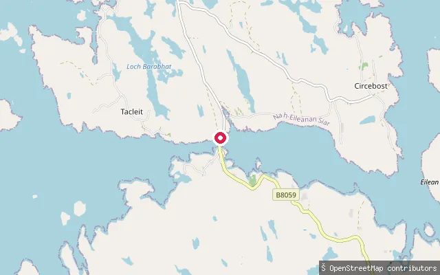
SeaIarsiadar put-in
Na h-Eileanan Siar, ScotlandA slipway at Earshader (Iarsiadar), a crofting village on Loch Barraglom, a tidal inlet of Loch Roag close to the Bernera bridge. Loch Barraglom contains the remains of a stone-walled tidal fish trap linking a small island to the shore.
 Sea
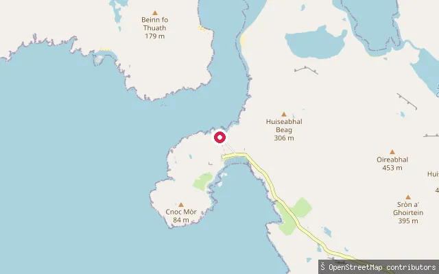
SeaPort a' Tuath slipway, Hushinish
Na h-Eileanan Siar, ScotlandA concrete slipway on the service track beside Port a' Tuath pier, the township harbour for Hushinish on North Harris, about 150 metres from the passenger pier itself.
Save your own spots
Keep the places you launch, check the wind and shelter before you go, and log every paddle. Add a spot to the directory too, and other paddlers will find it. Free to start.
Some launch spots in this directory are seeded from open data. © OpenStreetMap contributors · Open Database Licence (ODbL) · Machine-readable copy