Paddleboarding spots in Orkney Islands
54 launch spots across Orkney Islands
Every mapped spot in Orkney Islands
Zoom in to split a cluster; open a pin for the spotMap of every spot in Orkney Islands
The interactive map opens on any device with JavaScript. The full list of launch spots is below.
Launch spots
Showing 24 of 54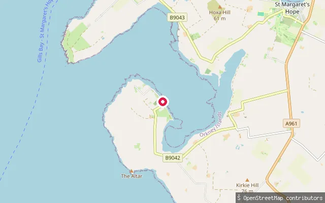 Sea
SeaHerston put-in, Widewall Bay
Orkney Islands, ScotlandA slipway in the village of Herston on South Ronaldsay's west coast, on Widewall Bay. Herston was historically a fishing village, and a wreck in the bay, the WWI-era ship Monarch, appeared in the video for the Eurythmics song "Here Comes the Rain Again".
 Sea
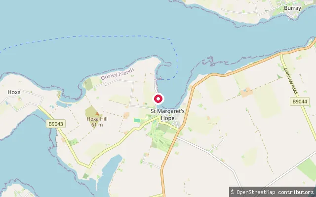
SeaSmiddybanks Pier
Orkney Islands, ScotlandA named pier and slipway at Lowertown on the shore of St Margaret's Hope, South Ronaldsay, a short walk from the village's main harbour.
 Sea
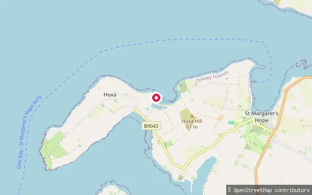
SeaRoeberry put-in (Hoxa)
Orkney Islands, ScotlandA slipway at Roeberry, near the hamlet of Hoxa on the west coast of South Ronaldsay, close to the Howe of Hoxa broch. This stretch of coast faces Scapa Flow, roughly a mile west of St Margaret's Hope by road.
 Sea
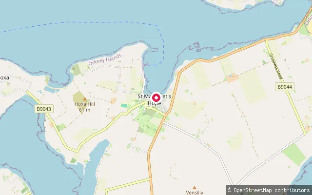
SeaSt Margaret's Hope pier
Orkney Islands, ScotlandA cobbled pier and slipway in St Margaret's Hope harbour, South Ronaldsay, where Pentland Ferries runs a service across the Pentland Firth to Gills Bay on the Scottish mainland. The village has shops, a cafe, a pub and a wine bar within walking distance.
 Sea
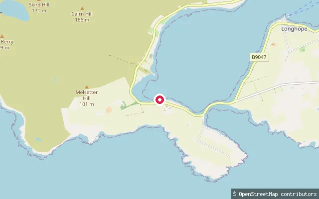
SeaWyng slipway, Longhope
Orkney Islands, ScotlandThis slipway is at Wyng on South Walls, on the shore of Longhope, the long natural harbour that separates South Walls from Hoy and gives the village of Longhope its name. The RNLI has run a lifeboat from Longhope since 1874, so the anchorage sees working lifeboat traffic alongside any paddling.
 Sea
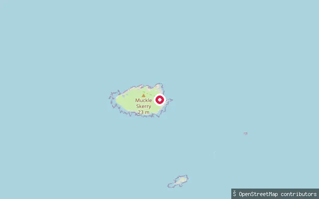
SeaPentland Skerries landing
Orkney Islands, ScotlandThe Pentland Skerries are a group of four uninhabited islands in the Pentland Firth south-east of South Ronaldsay, with Muckle Skerry the largest and home to two lighthouses built in 1794. This mapped landing sits on the Skerries, reached only by a sea crossing rather than from a road.
 Sea
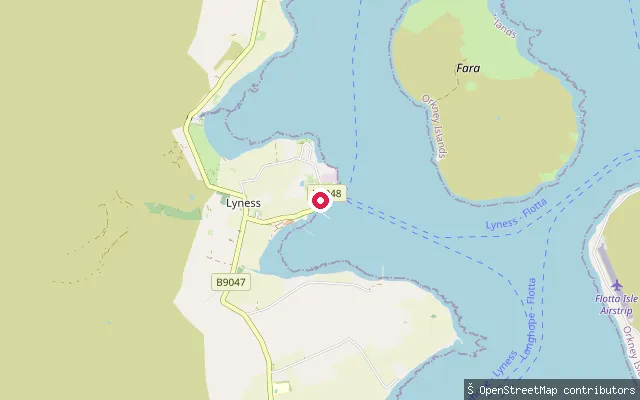
SeaLyness put-in
Orkney Islands, ScotlandThis slipway is on Hoy's Scapa Flow shore at Lyness, site of the former Royal Navy base HMS Proserpine and now home to the Scapa Flow Museum. An Orkney Ferries roll-on roll-off service still links Lyness to Houton on the Orkney Mainland and to the island of Flotta.
 Sea
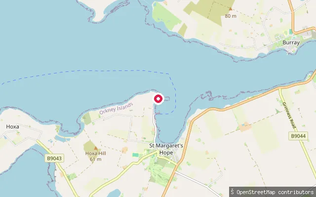
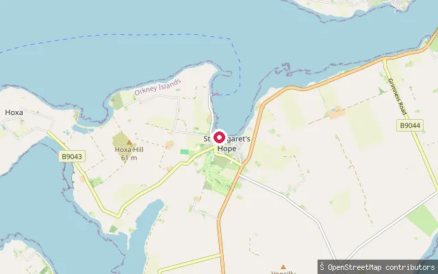
SeaLowertown put-in (St Margaret's Hope)
Orkney Islands, ScotlandA slipway in Lowertown, a hamlet on Pier Road at the edge of St Margaret's Hope, South Ronaldsay. It is marked on nautical charts as a small-craft facility and opens onto the sheltered bay after which the village is named, off Water Sound.
 Sea
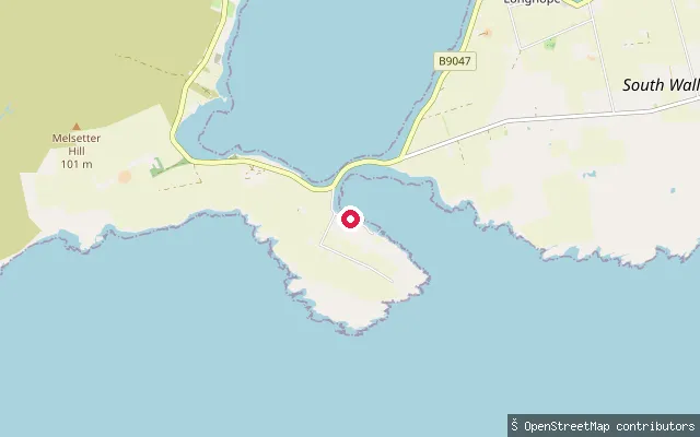
SeaLowertown put-in (St Margaret's Hope)
Orkney Islands, ScotlandA slipway in Lowertown, close to Smiddybanks Pier and around 400 metres from the main St Margaret's Hope harbour, on the shore of the sheltered bay off Water Sound.
 Sea
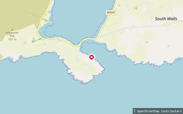
SeaAith Hope put-in
Orkney Islands, ScotlandThis slipway launches onto Aith Hope, a bay on the south side of the Ayre causeway linking South Walls to Hoy, a little further along the shore from two other harvested slipways in the same small bay.
 Sea
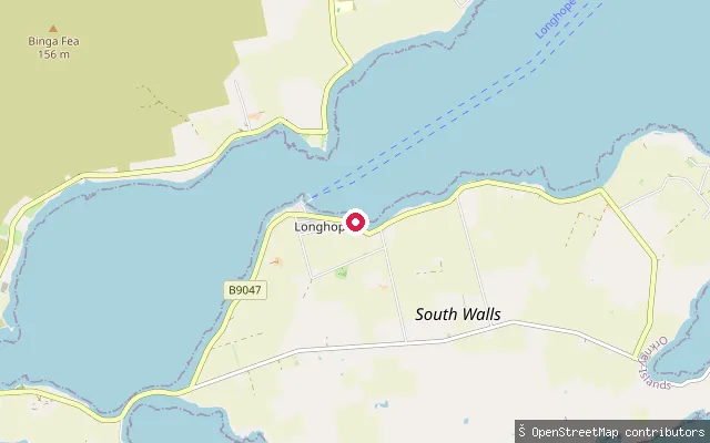
SeaAith Hope put-in
Orkney Islands, ScotlandThis slipway launches onto Aith Hope, a bay on the south side of the Ayre, the causeway that joins South Walls to Hoy. It falls within the wider Longhope area of South Walls, Orkney.
 Sea
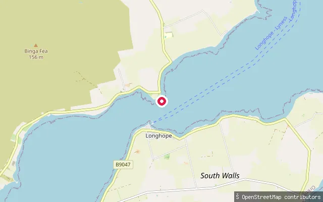
SeaLonghope put-in
Orkney Islands, ScotlandThis slipway is on the Longhope inlet near Longhope village, the main settlement on South Walls, Orkney.
 Sea
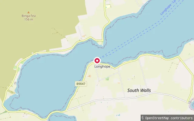
SeaLonghope put-in
Orkney Islands, ScotlandThis slipway launches onto Longhope, the sheltered inlet that separates South Walls from Hoy, close to Longhope village. Longhope has been home to an RNLI lifeboat since 1874.
 Sea
SeaLonghope Pier put-in
Orkney Islands, ScotlandThis slipway sits by Longhope Pier, on the Longhope inlet between South Walls and Hoy, where the RNLI's Longhope lifeboat has been based since the station moved from Brims in 1999. The earlier boathouse at Brims later reopened as the Longhope Lifeboat Museum.
 Sea
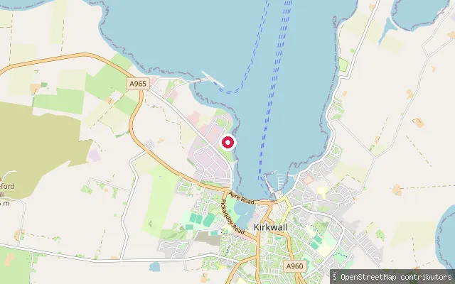
SeaKirkwall put-in
Orkney Islands, ScotlandThis slipway is at Crowness Place at the northern end of Kirkwall's harbour, near the town's industrial pier area, launching into Kirkwall Bay.
 Sea
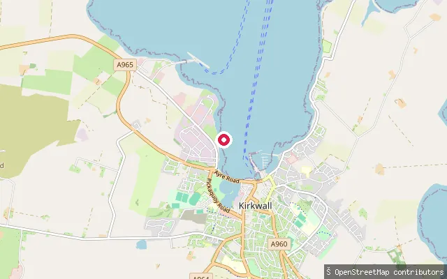
SeaKirkwall put-in
Orkney Islands, ScotlandThis slipway is on Grainshore Road, close to another mapped put-in on the same stretch of Kirkwall's harbour front, launching into Kirkwall Bay.
 Sea
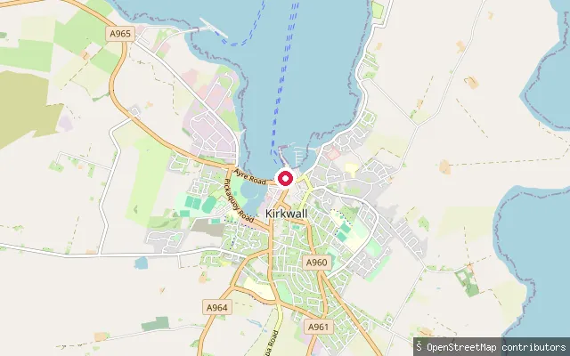
SeaKirkwall put-in
Orkney Islands, ScotlandThis slipway sits at Kiln Corner beside Kirkwall's ferry terminal, launching into Kirkwall Bay a short walk from the town centre.
 Sea
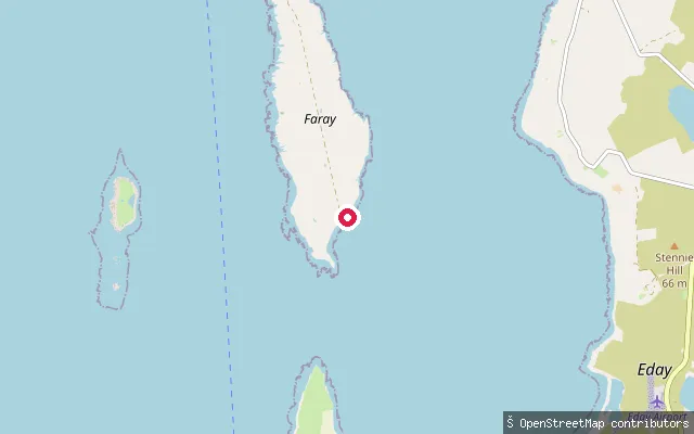
SeaCalfsound jetty
Orkney Islands, ScotlandThis slipway sits on Eday's coast a couple of kilometres south of Calfsound, the island's main northern settlement near Carrick House. The specific bay or inlet it opens onto is not separately named on available maps.
 Sea
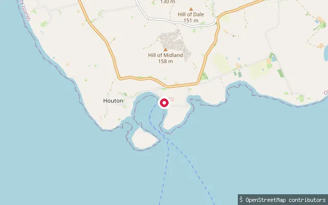
SeaHouton put-in
Orkney Islands, ScotlandA slipway on the Orphir shore of Scapa Flow at Houton, beside the vehicle-ferry terminal Orkney Ferries uses for sailings to Flotta, Longhope and Lyness on Hoy. It sits alongside the ferry hard rather than a dedicated small-boat landing.
 Sea
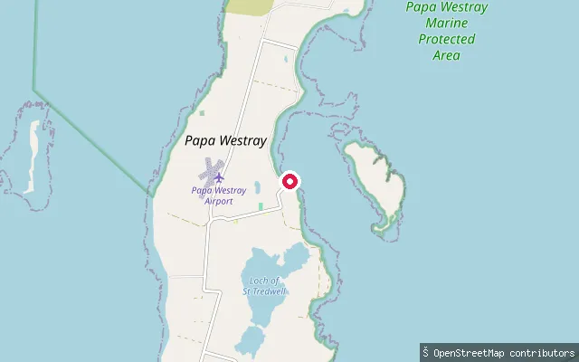
SeaHolland put-in
Orkney Islands, ScotlandThis slipway serves Holland, a farm settlement on Papa Westray associated with Holland House, a historic farm complex south of Mickelgarth village with an associated folk museum. It sits on the island's coast; the specific bay is not separately named on available maps.
 Sea
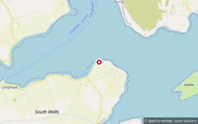
SeaHackness put-in
Orkney Islands, ScotlandThis slipway is at Hackness on South Walls, a short distance from the Hackness Martello Tower and Battery, which guarded the entrance to the bay of Longhope during the Napoleonic Wars.
 Sea
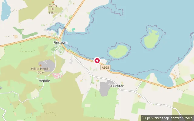
SeaGrimbister put-in
Orkney Islands, ScotlandThis slipway sits on the shore of the Bay of Firth near the hamlet of Grimbister on Orkney Mainland, in the parish of Firth. The bay is a sheltered tidal inlet holding two small islands, Damsay and the Holm of Grimbister.
 Sea
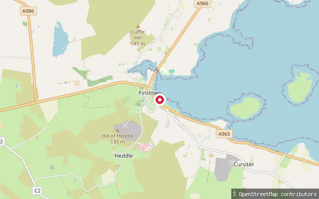
SeaGrimbister put-in
Orkney Islands, ScotlandThis slipway is on the Bay of Firth shore closer to Finstown than to Grimbister itself, on the western side of the bay on Orkney Mainland.
 Sea
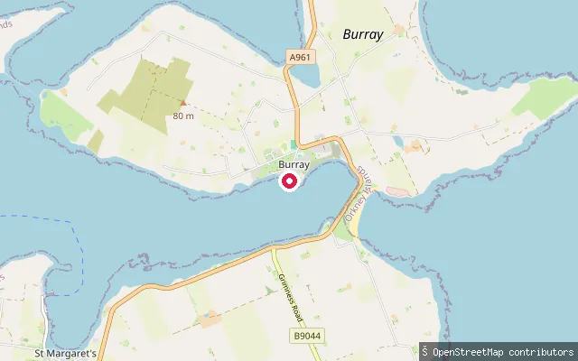
SeaBurray put-in
Orkney Islands, ScotlandA slipway on Pier Road in Burray village, on the island's southwest coast. Burray was formerly a fishing port and lies on the east side of Scapa Flow, reached from Mainland Orkney via the Churchill Barriers.
Save your own spots
Keep the places you launch, check the wind and shelter before you go, and log every paddle. Add a spot to the directory too, and other paddlers will find it. Free to start.
Some launch spots in this directory are seeded from open data. © OpenStreetMap contributors · Open Database Licence (ODbL) · Machine-readable copy