Paddleboarding spots in Pembrokeshire
48 launch spots across Pembrokeshire
Many inland waterways need a licence to paddle. Check with Paddle Cymru before you go.
Every mapped spot in Pembrokeshire
Zoom in to split a cluster; open a pin for the spotMap of every spot in Pembrokeshire
The interactive map opens on any device with JavaScript. The full list of launch spots is below.
Launch spots
Showing 24 of 48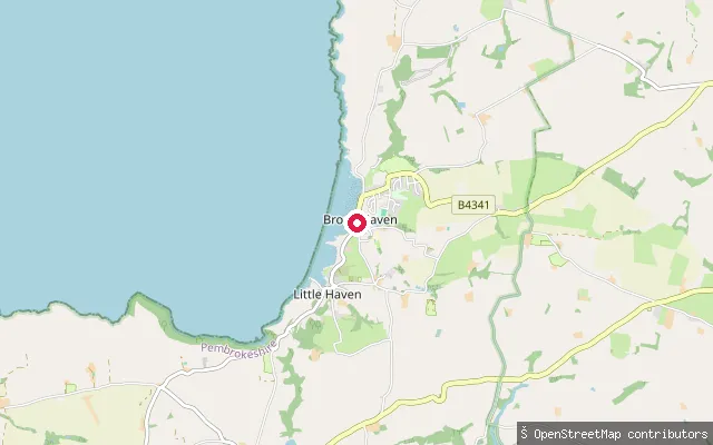 Sea
SeaThe Havens put-in (Broad Haven)
Pembrokeshire, WalesThis slipway connects Enfield Road to Broad Haven Beach on St Brides Bay in Pembrokeshire, within the Pembrokeshire Coast National Park.
 Sea
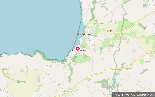
SeaThe Havens put-in (Broad Haven)
Pembrokeshire, WalesThis slipway sits at Broad Haven, a village and beach on St Brides Bay in Pembrokeshire, within the Pembrokeshire Coast National Park. St Brides Bay's eastern shore offers a series of sandy beaches, of which Broad Haven's is one.
 Sea
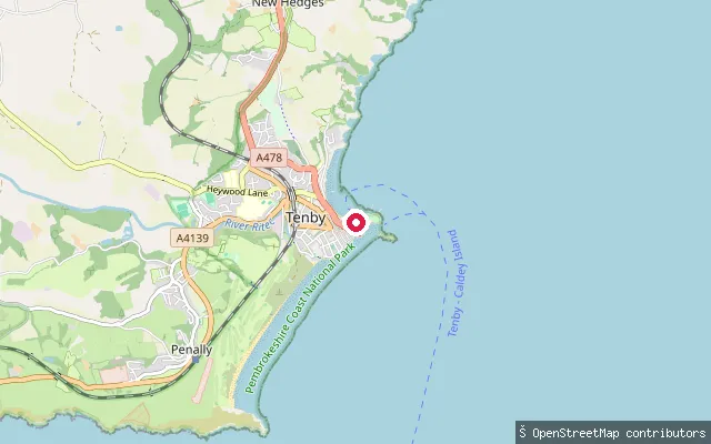
SeaTenby put-in
Pembrokeshire, WalesThis slipway is reached off Crackwell Street via the steep lane at Penniless Cove Hill, dropping into Tenby Harbour on Pembrokeshire's south coast. Pembrokeshire County Council owns and manages the harbour, which handles both leisure and commercial traffic.
 Sea
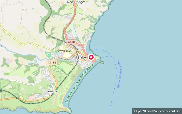
SeaTenby Harbour slipway
Pembrokeshire, WalesThis slipway sits within Tenby Harbour, a working harbour on Pembrokeshire's south coast that combines leisure moorings with commercial and fishing activity. Pembrokeshire County Council owns and manages the harbour, and the harbour master's office administers visitor moorings and requires proof of third-party liability insurance for craft using them.
 Sea
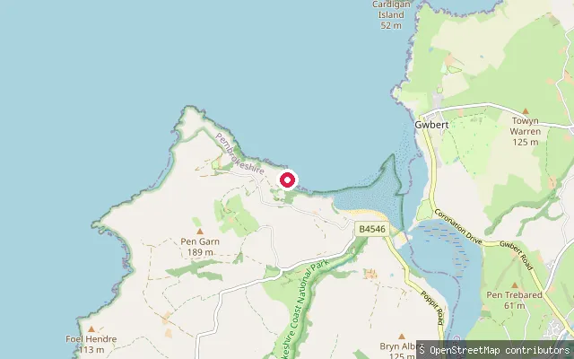
SeaPoppit Slipway
Pembrokeshire, WalesThis slipway stands by the site of Poppit's original 1876 lifeboat house, on the Teifi estuary close to where it opens into Cardigan Bay. Poppit Sands beach, just to the north, marks the northern end of the Pembrokeshire Coast Path and has hosted an RNLI lifeboat station since 1971.
 Sea
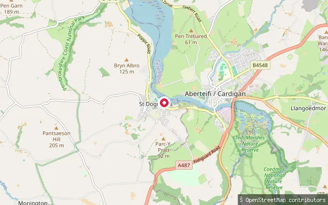
SeaSt. Dogmaels put-in
Pembrokeshire, WalesThis gravel slipway runs off a service track near Water Street in St Dogmaels, down to the tidal Teifi estuary as it broadens on its way to Cardigan Bay. It is a vehicle-accessible ramp rather than a beach launch.
 Sea
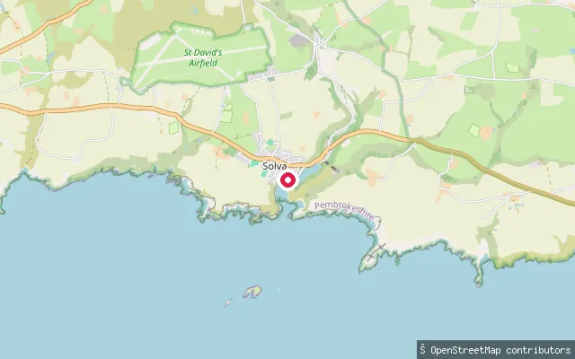
SeaSolva put-in
Pembrokeshire, WalesThis slipway launches into Solva's harbour, a sheltered tidal inlet on the north shore of St Brides Bay within Pembrokeshire Coast National Park, close to the harbourside quay in Lower Solva. Rocks at the entrance historically made it one of the most sheltered anchorages between Fishguard and Milford Haven, once able to take vessels of up to 1,000 tons.
 Sea
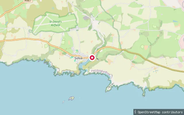
SeaSolva Slipway
Pembrokeshire, WalesThis slipway sits in the upper part of Solva's tidal harbour, on High Street a short walk from the village's harbourside shops and cafes. The harbour opens south into St Brides Bay and lies within Pembrokeshire Coast National Park.
 Sea
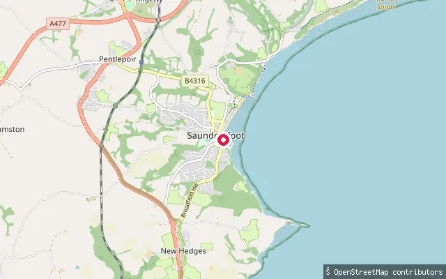
SeaSaundersfoot Harbour slipway
Pembrokeshire, WalesThis slipway launches into Saundersfoot Harbour, built from 1829 to export anthracite coal from the surrounding collieries and now used for private moorings, pleasure boats and small fishing charters. It sits by Cambrian Place at the harbour, within the Pembrokeshire Coast National Park.
 Sea
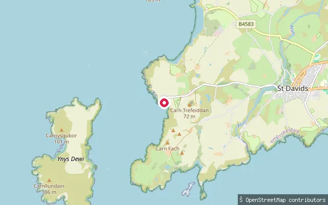
SeaRhosson Ganol put-in (St Davids)
Pembrokeshire, WalesThis slipway launches from Porthstinian, the small harbour at St Justinian's on the St Davids peninsula, directly onto Ramsey Sound. The sound separates the mainland from Ramsey Island and runs a strong tidal race past rocks called The Bitches, reaching about 3.8 m/s on the flood. St Justinian's also holds the St Davids RNLI lifeboat station and a passenger ferry to Ramsey Island.
 Sea
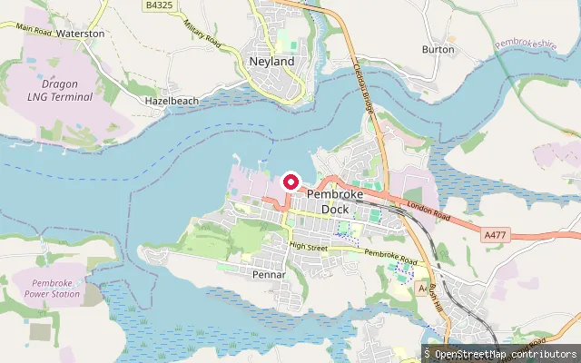
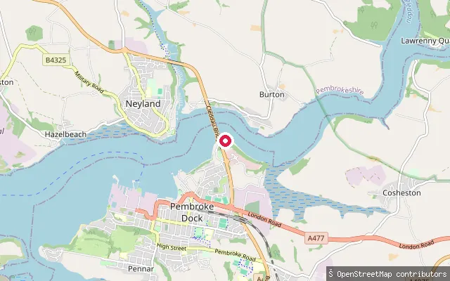
SeaPembroke Dock put-in
Pembrokeshire, WalesThis slipway lies on the Pembroke Dock waterfront near Commercial Row and Front Street, launching onto the Milford Haven Waterway opposite Neyland.
 Sea
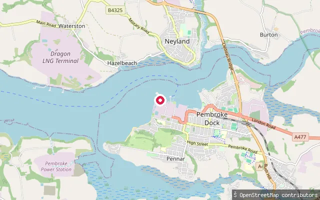
SeaPembroke Dock put-in
Pembrokeshire, WalesThis slipway sits on the Pembroke Dock waterfront on the Milford Haven Waterway, the deep natural harbour that separates the town from Neyland across the water. The Port of Milford Haven regulates navigation on this stretch.
 Sea
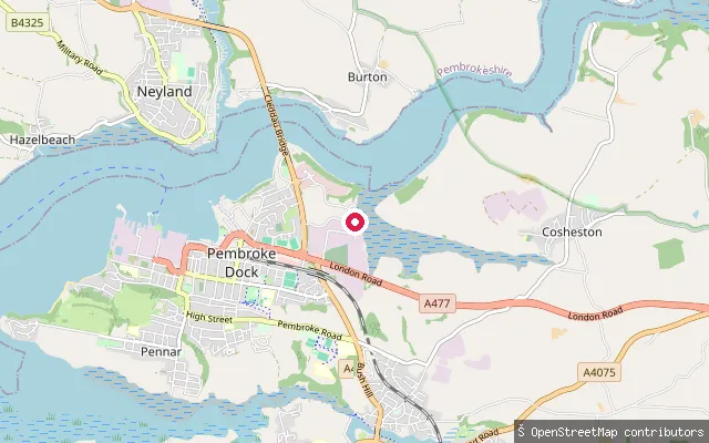
SeaPembroke Ferry slipway
Pembrokeshire, WalesThis slipway stands at Pembroke Ferry, the old crossing point on the Milford Haven Waterway that the Cleddau Bridge replaced when it opened in 1975. Parking has since been added to serve the launch.
 Sea
SeaPembroke Dock put-in
Pembrokeshire, WalesThis slipway launches from Pennar, on the southern edge of Pembroke Dock, onto the Milford Haven Waterway.
 Sea
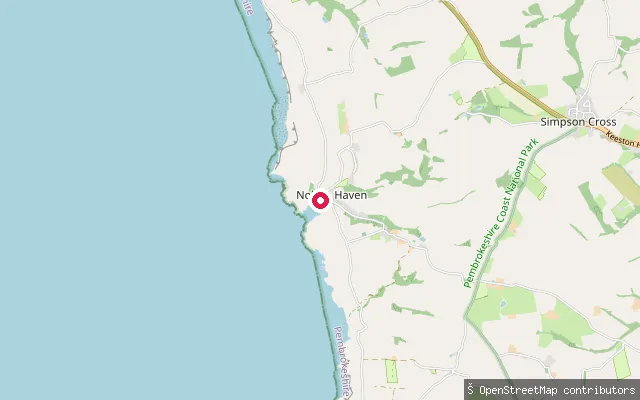
SeaNolton Haven slipway
Pembrokeshire, WalesThis slipway sits at Nolton Haven, a shingle cove roughly midway along St Brides Bay in Pembrokeshire, within the Pembrokeshire Coast National Park. The Pembrokeshire Coast Path and Wales Coast Path both pass through the village.
 Sea
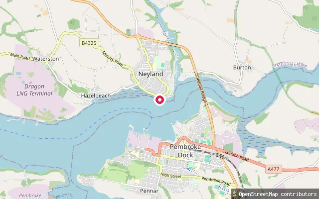
SeaNeyland put-in
Pembrokeshire, WalesThis slipway is on the Neyland waterfront at the upstream end of the Milford Haven Waterway, opposite Pembroke Dock and close to the Cleddau Bridge crossing. It is tidal, cut into the bank, and surfaced in concrete.
 Sea
SeaNewport put-in
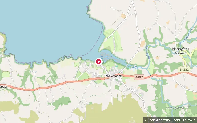
Pembrokeshire, WalesThis second slipway is mapped about 54 metres from another put-in at Parrog, Newport's old port quarter on the Nevern estuary, and likely serves the same stretch of quay used by Newport Boat Club and local moorings.
 Sea
SeaNewport put-in
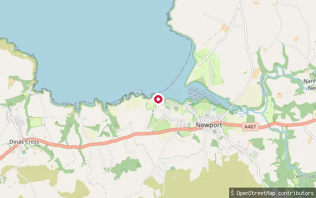
Pembrokeshire, WalesThis put-in is mapped as a beach launch on the seaward side of Newport, further downstream than the Parrog slipways, where the Nevern estuary opens onto Newport Sands and Cardigan Bay. A prohibition on motor vehicles is recorded at the site.
 Lake
LakeLlys-y-fran Reservoir
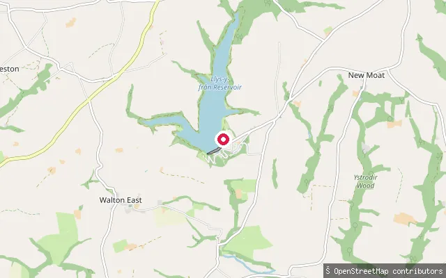
Pembrokeshire, WalesLlys-y-fran Reservoir is an 86-hectare Welsh Water reservoir on the southern slopes of the Preseli Hills, ringed by a country park with a redeveloped outdoor activity centre. The operator runs sailing, windsurfing, rowing and canoeing here, with equipment available to hire.
 Sea
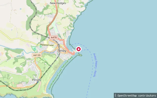
SeaTenby Castle Beach (Old Lifeboat Station)
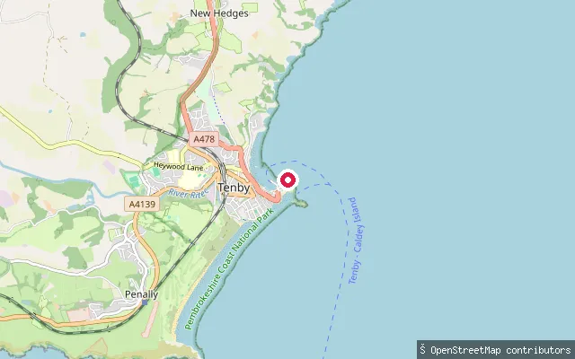
Pembrokeshire, WalesThis slipway sits at the site of Tenby's original lifeboat station on Castle Hill, built in 1905 and replaced by a modern station in 2008, launching onto Castle Beach beneath the castle headland. The Sunday Times named Castle Beach the UK's best beach in 2019.
 Sea
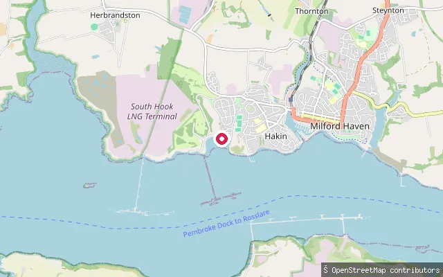
SeaTenby Castle Beach (Lifeboat Station)
Pembrokeshire, WalesThis slipway is mapped between Tenby's RNLI lifeboat station and the adjoining pier on Castle Hill, launching onto Castle Beach beneath the castle headland. The all-weather lifeboat station traces back to a slip-way-equipped boathouse built here in 1905, since rebuilt.
 Sea
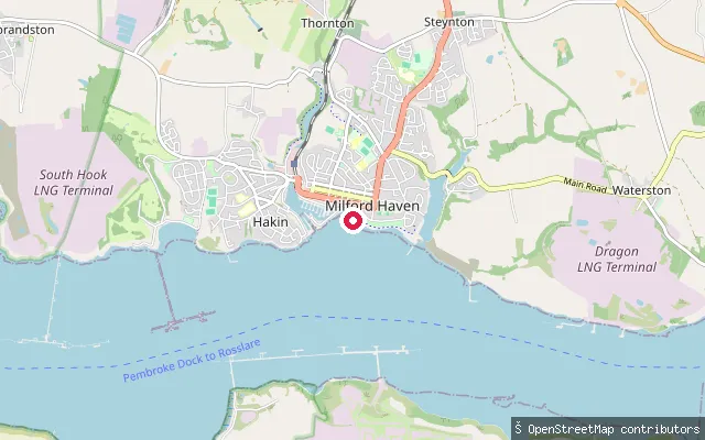
SeaMilford Haven put-in
Pembrokeshire, WalesThis slipway sits on the Milford Haven Waterway in Hakin, a village on the western side of Milford Haven town, Pembrokeshire. The waterway is a natural ria managed as a trust port by the Milford Haven Port Authority.
 Sea
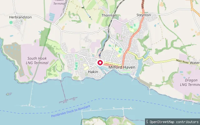
SeaMilford Haven put-in
Pembrokeshire, WalesThis slipway sits on the Milford Haven Waterway on the eastern side of Milford Haven town, Pembrokeshire, a natural ria managed as a trust port by the Milford Haven Port Authority.
 Sea
SeaMilford Haven put-in
Pembrokeshire, WalesThis slipway sits on the Milford Haven Waterway close to Milford Marina, within the historic dock area of Milford Haven town, Pembrokeshire. The marina occupies the site of the former working docks and has 360 berths alongside retail, museum and leisure facilities.
Save your own spots
Keep the places you launch, check the wind and shelter before you go, and log every paddle. Add a spot to the directory too, and other paddlers will find it. Free to start.
Some launch spots in this directory are seeded from open data. © OpenStreetMap contributors · Open Database Licence (ODbL) · Machine-readable copy