Paddleboarding spots in Pembrokeshire
48 launch spots across Pembrokeshire
Many inland waterways need a licence to paddle. Check with Paddle Cymru before you go.
Every mapped spot in Pembrokeshire
Zoom in to split a cluster; open a pin for the spotMap of every spot in Pembrokeshire
The interactive map opens on any device with JavaScript. The full list of launch spots is below.
Launch spots
Showing 24 of 48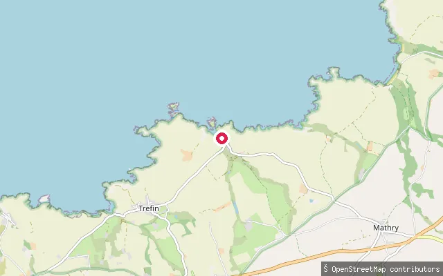 Sea
SeaAbercastle harbour slipway
Pembrokeshire, WalesThis slipway launches into Abercastle Harbour, a small working harbour on the north Pembrokeshire coast that faces northwest and is sheltered from south-westerly gales. It is popular with divers and sea kayakers, and a fee applies to use it.
 Sea
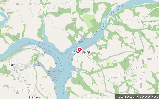
SeaLandshipping slipway
Pembrokeshire, WalesThis slipway lies on the Daugleddau close to Landshipping, a short distance upstream of Landshipping Quay on the same reach of the tidal Cleddau estuary.
 Sea
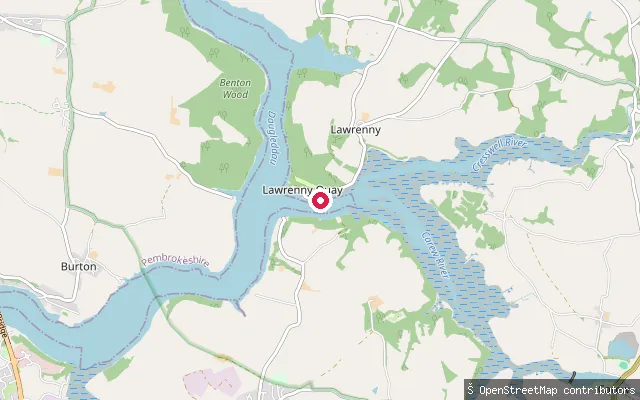
SeaLawrenny Quay
Pembrokeshire, WalesLawrenny Quay is a working yacht station on the Daugleddau, the combined Cleddau estuary, close to where the Cresswell and Carew Rivers branch off. The Lawrenny Arms and the Quayside Tearooms stand beside the water.
 Sea
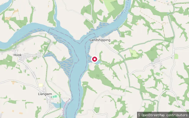
SeaLandshipping Quay
Pembrokeshire, WalesLandshipping Quay sits on the Daugleddau, the tidal Cleddau estuary, in a hamlet that once shipped anthracite coal from local collieries. The harvested location pointed to Martletwy, a parish centred a few miles inland.
 Sea
SeaMartin's Haven slipway
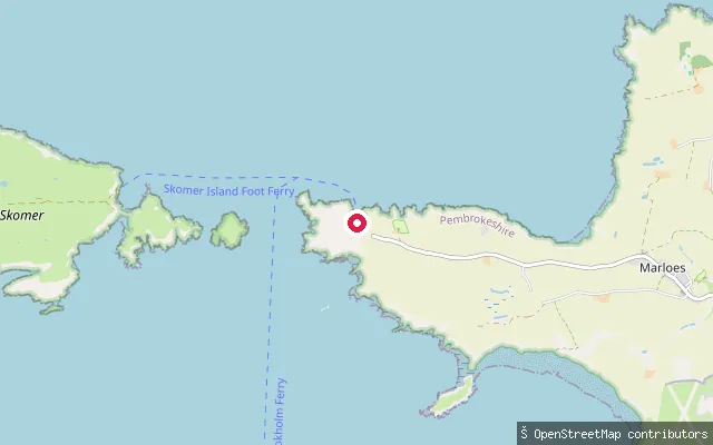
Pembrokeshire, WalesThis stone slipway serves Martin's Haven, a small north-facing cove near Marloes that opens onto St Brides Bay. It is the departure point for the seasonal Skomer and Skokholm island ferries, and lies close to Jack Sound, the tidal strait between the mainland and Skomer.
 Sea
SeaFreshwater East
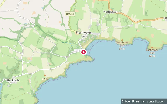
Pembrokeshire, WalesFreshwater East is a bay on Pembrokeshire's south coast, its beach backed by dunes known as The Burrows and set on the Wales Coast Path within the Pembrokeshire Coast National Park. The beach holds a Green Coast Award and has a cafe, toilets and parking, with the Trewent Point Site of Special Scientific Interest adjoining to the west.
 Sea
SeaHazelbeach
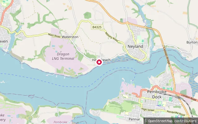
Pembrokeshire, WalesHazelbeach is a small hamlet in Llanstadwell parish on the northern shore of the Milford Haven Waterway, near the Waterston oil terminal. A slipway here gives access to the open water of the haven, which the Port of Milford Haven regulates as the statutory navigation authority.
 River
RiverHaverfordwest town quay
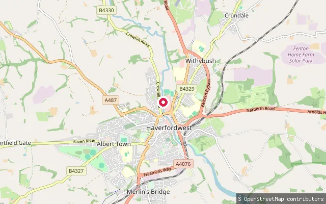
Pembrokeshire, WalesThis slipway sits at Haverfordwest, the historic tidal limit of the Western Cleddau below St Mary's ('New') Bridge, once the site of a busy tidal quay. A local kayaking club still uses the river from here out to sea.
 Sea
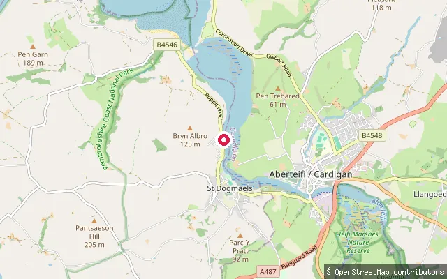
SeaGlanfa Glanteifon Slipway
Pembrokeshire, WalesGlanfa Glanteifon ("Teifi-bank landing") is a slipway on the tidal Teifi estuary near St Dogmaels. Its Welsh and English name tags both derive directly from the river, confirming the water here is the Teifi rather than the village itself.
 Sea
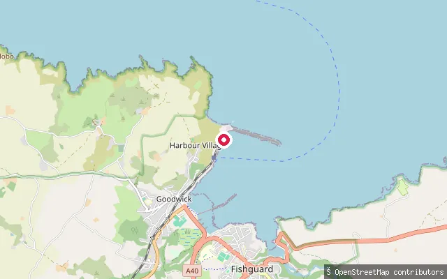
SeaFishguard Harbour Slipway, Harbour Village
Pembrokeshire, WalesThis slipway is in Harbour Village, Goodwick, inside Fishguard Harbour. The RNLI's Fishguard Lifeboat Station operates its all-weather and inshore lifeboats from within the same harbour.
 Sea
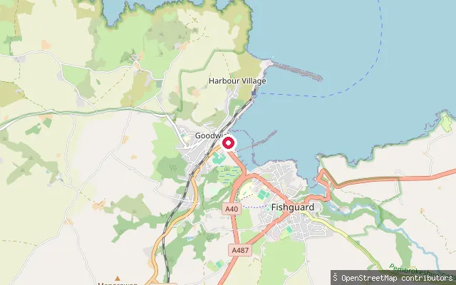
SeaGoodwick Sands Slipway
Pembrokeshire, WalesThis point sits on Goodwick Sands, the beach along The Parrog shorefront in Goodwick, on Fishguard Bay.
 Sea
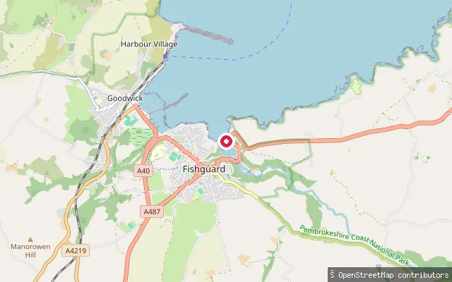
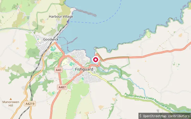
SeaLower Town Foreshore, Fishguard
Pembrokeshire, WalesThis point sits on the Lower Town foreshore in Fishguard, near where the River Gwaun meets Fishguard Bay.
 Sea
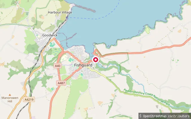
SeaQuay Street Slipway, Fishguard
Pembrokeshire, WalesThis access point sits on Quay Street in Lower Town, Fishguard, on the tidal reach where the River Gwaun meets Fishguard Bay.
 Sea
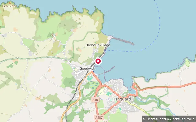
SeaLower Town Quay, Fishguard
Pembrokeshire, WalesThis slipway lies on Quay Street in Lower Town, Fishguard, close to where the River Gwaun opens into Fishguard Bay. The bay faces north and is sheltered from the prevailing westerly winds.
 Sea
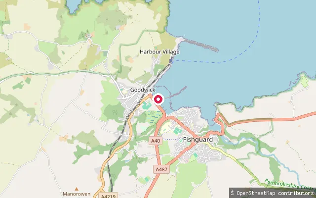
SeaGoodwick Harbour Slipway
Pembrokeshire, WalesThis slipway is on Quay Road in Goodwick, close to Fishguard Harbour, the breakwater-enclosed port opened in 1906 that now serves the Stena Line ferry to Rosslare.
 Sea
SeaThe Parrog Slipway, Goodwick
Pembrokeshire, WalesThe Parrog is Goodwick's shorefront on Fishguard Bay, beside Goodwick Sands beach. It faces across the bay towards Fishguard Harbour on the far shore.
 Sea
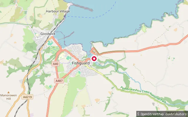
SeaLower Town Slipway, Fishguard
Pembrokeshire, WalesThis slipway is on Quay Street in Lower Town, the old quarter of Fishguard where the River Gwaun meets the sea. It opens onto Fishguard Bay, which faces north and is sheltered from the prevailing westerly winds.
 Sea
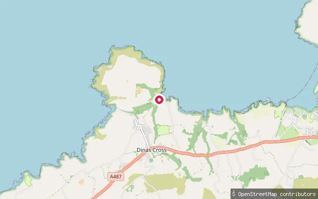
SeaCwm-yr-Eglwys
Pembrokeshire, WalesCwm-yr-Eglwys is a sheltered cove on the eastern side of the Dinas Island peninsula near Dinas Cross, with its own mild microclimate. The ruined west wall of St Brynach's church, wrecked by the Royal Charter Storm of October 1859, stands beside the beach.
 Sea
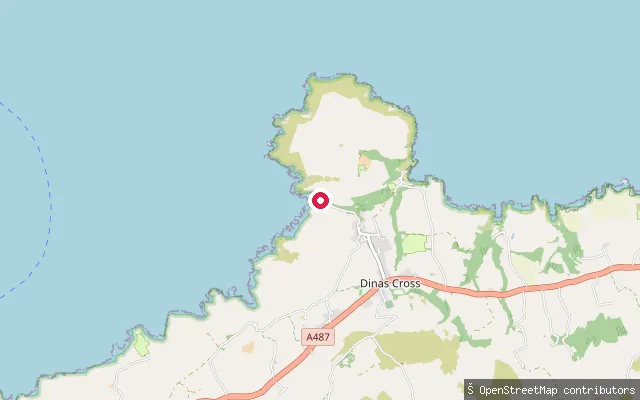
SeaPwllgwaelod
Pembrokeshire, WalesPwllgwaelod is a sheltered cove on the southwest side of the Dinas Island peninsula, reached down Feidr Fawr from the hamlet of Brynhenllan near Dinas Cross. The beach is wide and open with fine dark sand, flanked by rocks and cliffs, and looks out across Fishguard Bay towards Fishguard Harbour.
 Sea
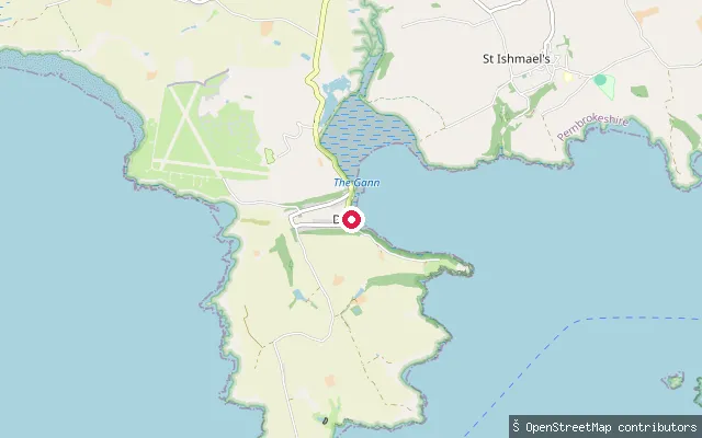
SeaDale put-in
Pembrokeshire, WalesThis slipway sits on Dale Bay, on the peninsula forming the northern side of the Milford Haven Waterway entrance in Pembrokeshire. Dale is a long-established local sailing centre, with the bay used for sailing courses, boat handling training and windsurfing instruction.
 River
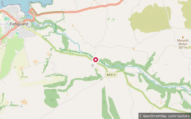
RiverPont Llanychaer, Afon Gwaun
Pembrokeshire, WalesPont Llanychaer crosses the River Gwaun (Afon Gwaun) in the Gwaun Valley, a few miles inland from Fishguard. The lower third of the river, running from west of Pontfaen through Llanychaer to the sea at Fishguard, is described as navigable by canoe. This point marks a put-in at the bridge in the hamlet of Llanychaer.
 River
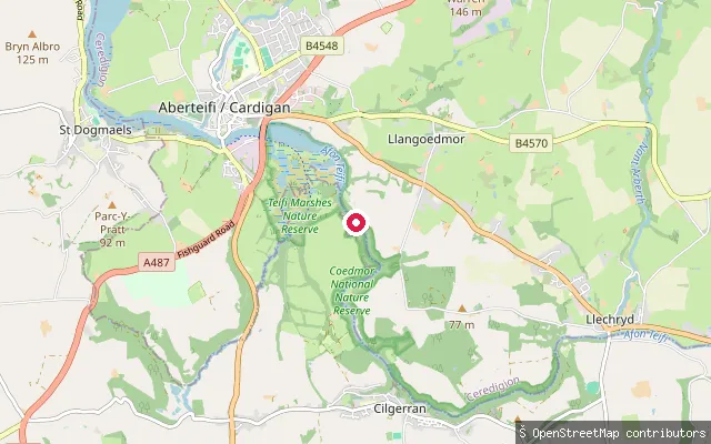
RiverCilgerran put-in (Bridell)
Pembrokeshire, WalesThis put-in occupies a former slate-quarry quay on the River Teifi, in the wooded Teifi Gorge between Llechryd and Cilgerran. Heritage Canoes uses the quay as the start point for its guided gorge trips. Cilgerran village, with its castle and the adjoining Teifi Marshes reserve, lies a short way downstream.
 Sea
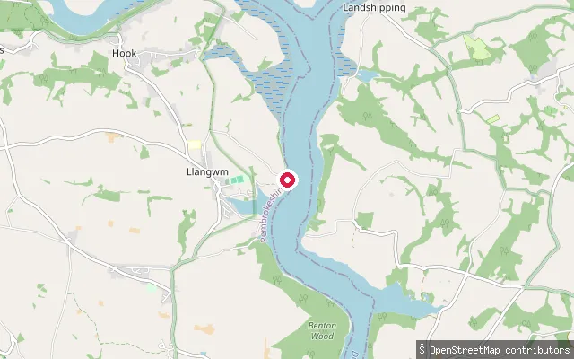
SeaBlack Tar Slipway
Pembrokeshire, WalesBlack Tar Slipway launches onto the Daugleddau opposite Llangwm, a stretch of the Cleddau estuary with a history of oyster fishing and coal shipping. Parking is in a layby a short distance back along the road, with an area to unload by the shoreline.
 Sea
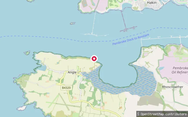
SeaAngle put-in
Pembrokeshire, WalesThis slipway sits on Angle Bay, a large intertidal expanse of mud and sand on the Milford Haven Waterway side of the Angle peninsula in south Pembrokeshire. The bay supports wading birds including dunlin, grey plover, redshank, oystercatcher and curlew, and the slipway lies close to Angle Lifeboat Station.
Save your own spots
Keep the places you launch, check the wind and shelter before you go, and log every paddle. Add a spot to the directory too, and other paddlers will find it. Free to start.
Some launch spots in this directory are seeded from open data. © OpenStreetMap contributors · Open Database Licence (ODbL) · Machine-readable copy