Paddleboarding spots in Newport
5 launch spots across Newport
Many inland waterways need a licence to paddle. Check with Paddle Cymru before you go.
Every mapped spot in Newport
Zoom in to split a cluster; open a pin for the spotMap of every spot in Newport
The interactive map opens on any device with JavaScript. The full list of launch spots is below.
Launch spots
Showing 5 of 5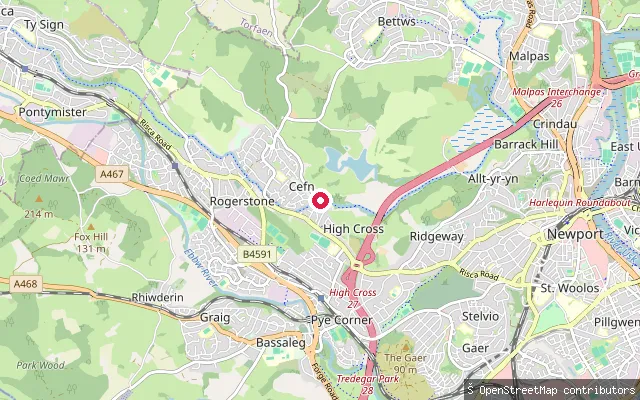 Canal
CanalRogerstone put-in (Newport)
Newport, WalesThis slipway serves the Fourteen Locks flight, also called the Cefn Flight, on the Crumlin Arm of the Monmouthshire and Brecon Canal at Rogerstone. The 14-lock staircase-style flight was completed in 1799 and raises the canal by around 160 feet in under a mile, one of the steepest such rises in the UK, and only its upper section has been restored to navigation since the early 2000s.
 River
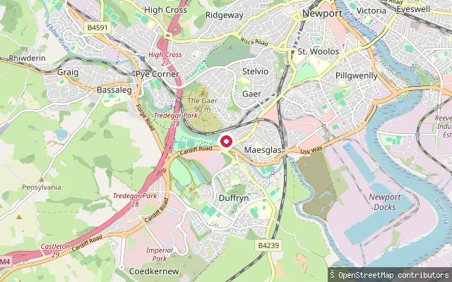
RiverGaer put-in
Newport, WalesThis gravel slipway sits on the River Ebbw near Tredegar Park on the western edge of Newport, in a reach of the river that turns tidal before it joins the Usk near the mouth of the Severn.
 River
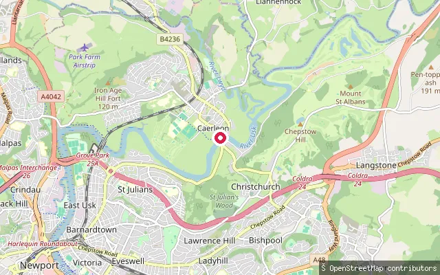
RiverHanbury Arms Slip, Caerleon
Newport, WalesThis stone slipway and quay wall on the River Usk stand beside the Hanbury Arms, a 16th-century riverside inn in Caerleon and a Grade II listed structure. Caerleon was the main port on the Usk before Newport Docks were built downstream, and the old wharf here marked the historic limit of navigation for masted ships.
 River
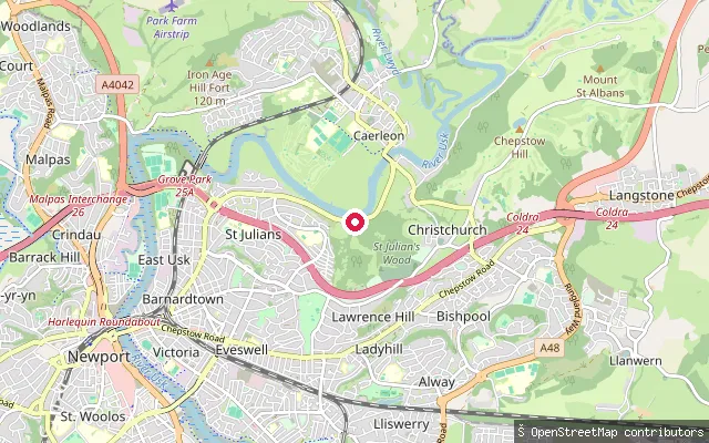
RiverSt Julian Inn Slipway, Caerleon
Newport, WalesThis slipway on the tidal River Usk stands beside the St Julian Inn on Caerleon Road, on the edge of Caerleon village. The adjoining car park is signed for pub customers, and the Usk stays tidal for several miles further upstream, with the normal tidal limit near Newbridge-on-Usk.
 Canal
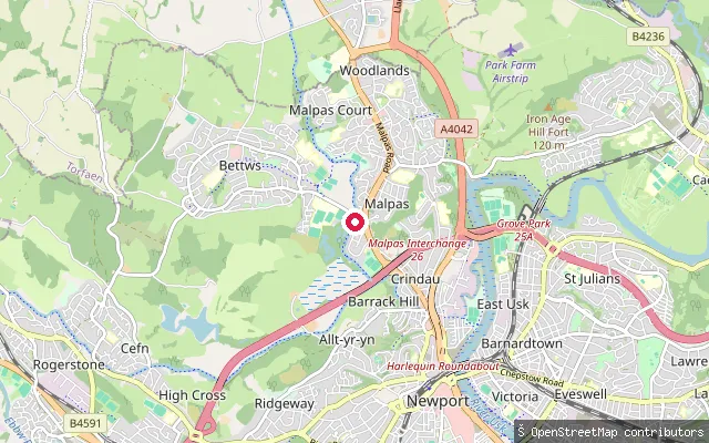
CanalBettws put-in
Newport, WalesThis slipway sits on the Monmouthshire and Brecon Canal in Bettws, on the northern edge of Newport, with a maintained towpath running alongside it. The Canal and River Trust requires a waterways licence to paddle a canoe, kayak or paddleboard on its network, which covers this canal.
Save your own spots
Keep the places you launch, check the wind and shelter before you go, and log every paddle. Add a spot to the directory too, and other paddlers will find it. Free to start.
Some launch spots in this directory are seeded from open data. © OpenStreetMap contributors · Open Database Licence (ODbL) · Machine-readable copy