Paddleboarding spots in Fife
40 launch spots across Fife
Every mapped spot in Fife
Zoom in to split a cluster; open a pin for the spotMap of every spot in Fife
The interactive map opens on any device with JavaScript. The full list of launch spots is below.
Launch spots
Showing 16 of 40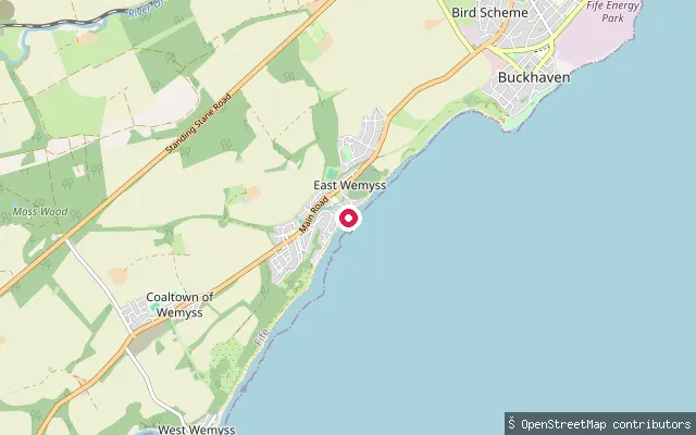 Sea
SeaEast Wemyss put-in
Fife, ScotlandEast Wemyss is a village on Fife's south coast on the Firth of Forth, between Kirkcaldy and Buckhaven. The slipway sits near Main Street beside the Wemyss Caves, a set of sea caves cut into the shoreline. A stretch of sea wall along here has had steps added for shore access.
 Sea
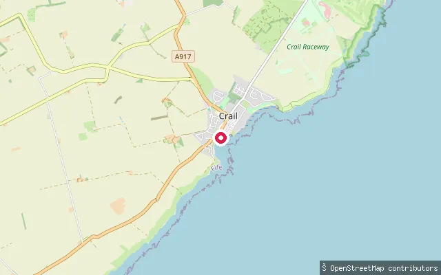
SeaCrail Harbour slipway
Fife, ScotlandThis slipway launches into Crail Harbour, a small tidal harbour in the East Neuk fishing village of Crail, on the Firth of Forth coast. The harbour's west pier was rebuilt in 1828 by the engineer Robert Stevenson and the site still holds working fishing boats.
 Sea
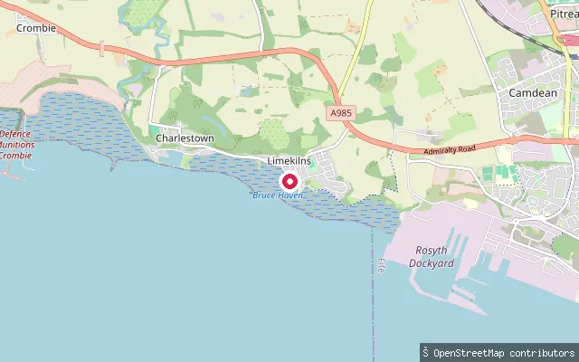
SeaLimekilns foreshore slipway (Red Row)
Fife, ScotlandThis slipway sits on Red Row on the Limekilns shore of the Firth of Forth, a short walk from Bruce Haven harbour. It gives foreshore access to the estuary on the Fife side, between Limekilns and Charlestown.
 Sea
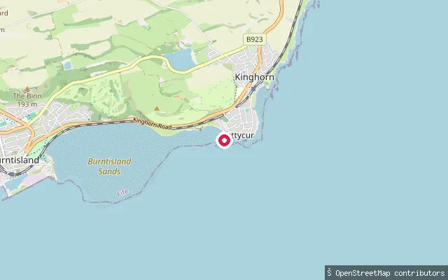
SeaPettycur slipway, Kinghorn
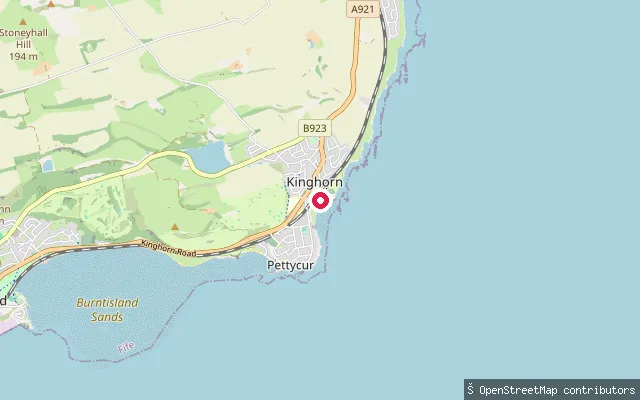
Fife, ScotlandThis slipway is mapped on the Firth of Forth shore in the Pettycur area southwest of Kinghorn harbour, along the stretch of coast the Fife Coastal Path follows toward Burntisland.
 Sea
SeaKinghorn harbour slipway (Pettycur)
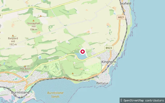
Fife, ScotlandKinghorn stands on the north shore of the Firth of Forth and has a working harbour alongside its two beaches, Kinghorn Beach and Pettycur Bay. This slipway is mapped off St James Place in the Pettycur area, close to Kinghorn harbour.
 Loch
LochKinghorn Loch slipway (Craigencalt)
Fife, ScotlandKinghorn Loch is a small freshwater loch on the hillside above Kinghorn, once the town's water supply and later a power source for flax mills via its outflow burn. Kirkcaldy Canoe Club keeps boat storage on its shore near Craigencalt, and this slipway gives access to the loch.
 Loch
LochCameron Reservoir slipway
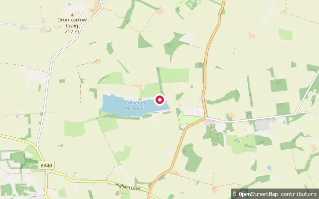
Fife, ScotlandCameron Reservoir is a 43-hectare reservoir in Cameron parish, east Fife, with a small slipway on its bank. The site is a Ramsar wetland, SSSI and Special Protection Area important for wintering pink-footed geese, and is managed by St Andrews Angling Club under a lease from Fife Council, whose members fish from the bank and from a small number of boats.
 Sea
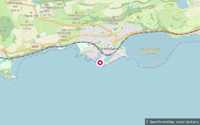
SeaBurntisland, Lammerlaws slipway
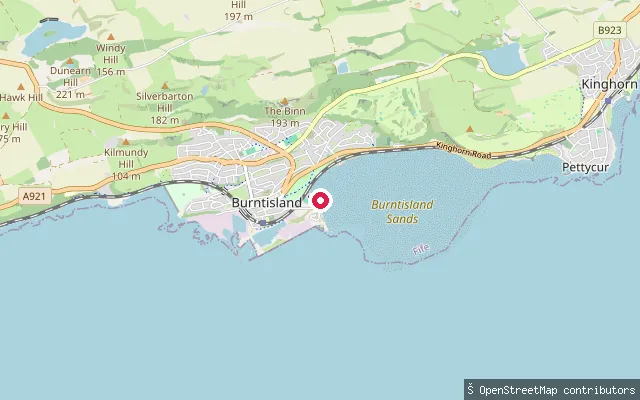
Fife, ScotlandThis slipway is mapped off Lammerlaws Road, at the eastern end of Burntisland's sandy beach on the Firth of Forth. The Fife Coastal Path runs along the promenade here toward Kinghorn, and at low tide the sands can be walked as far as Pettycur.
 Sea
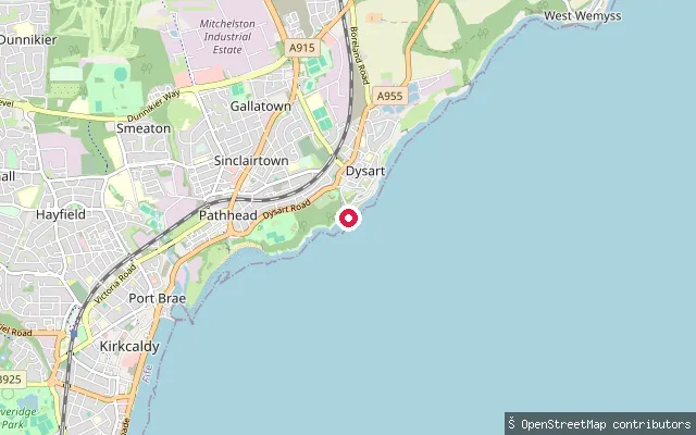
SeaBurntisland Harbour slipway
Fife, ScotlandBurntisland harbour sits on the north shore of the Firth of Forth; the town was historically the Forth's second busiest port after Leith, with shipbuilding as a major industry. This slipway is mapped off Forth Place beside the harbour, close to the town's beach and the Fife Coastal Path.
 Sea
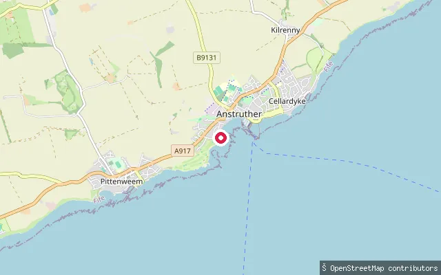
SeaDysart Harbour slipway (Kirkcaldy)
Fife, ScotlandThis slipway is on Shore Road in Dysart, a former burgh now part of Kirkcaldy, on the Firth of Forth. Dysart's harbour was rebuilt in 1829-31 with the involvement of engineer Robert Stephenson and declined commercially after the local colliery closed in 1929.
 Sea
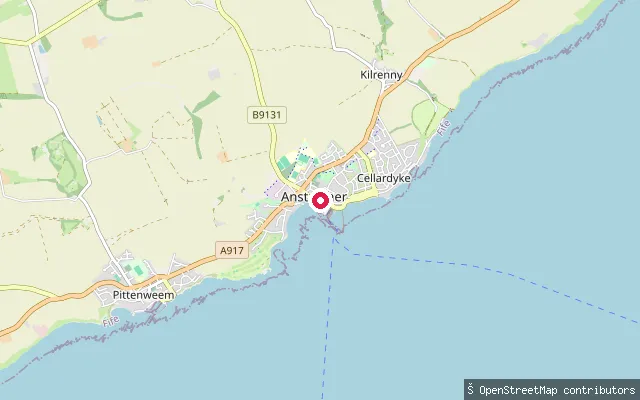
SeaAnstruther Wester put-in
Fife, ScotlandA slipway on Shore Road in Anstruther Wester, on the Firth of Forth, further along the coast from the main harbour basin.
 Sea
SeaAnstruther Easter put-in
Fife, ScotlandA slipway within Anstruther's harbour on the Firth of Forth, on the Easter side near the harbour mouth. The harbour was rebuilt by the Fishery Board in the 1870s and now moors mostly leisure and pleasure craft rather than the working fishing fleet it once held.
 Sea
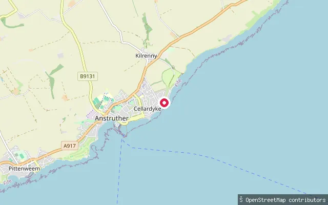
SeaCellardyke Harbour slipway
Fife, ScotlandA slipway at Harbourhead in Cellardyke's small harbour, on the Firth of Forth immediately east of Anstruther. The harbour dates from the 16th century and was rebuilt in 1829-31; it once held around 200 fishing boats but now sees only a few creel and pleasure boats.
 Sea
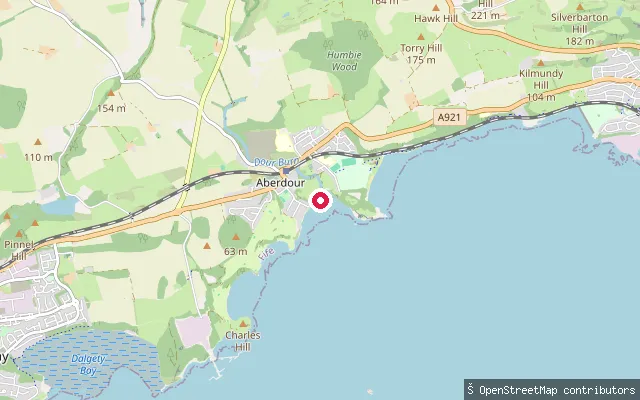
SeaAberdour Harbour slipway
Fife, ScotlandThis third mapped slipway point sits toward the harbour mouth, about 150 metres from the main Aberdour Harbour slipway on the north shore of the Firth of Forth, close to the Fife Coastal Path and the Blue Flag Silver Sands beach.
 Sea
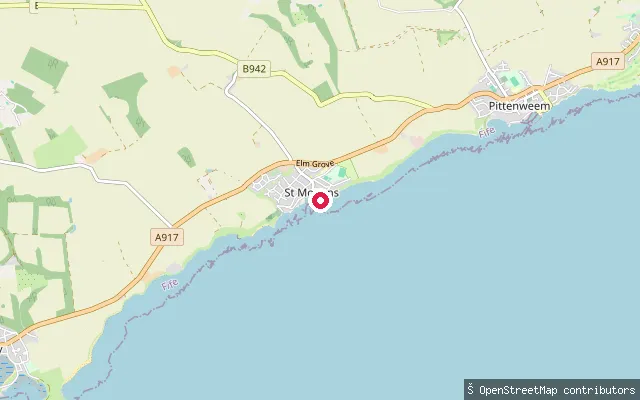
SeaSt Monans harbour slipway (Mid Shore)
Fife, ScotlandA slipway on Mid Shore on the west side of St Monans harbour, on the Firth of Forth. The harbour grew from a natural rock-sheltered inlet, with the east pier added in 1865 and the west pier in 1902.
 Sea
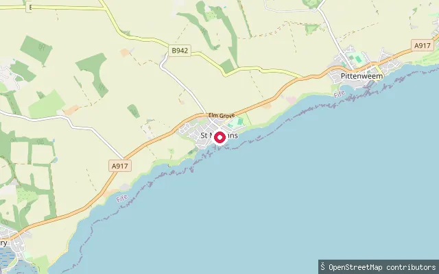
SeaSt Monans harbour slipway (Mid Shore)
Fife, ScotlandA slipway on Mid Shore on the west side of St Monans harbour, on the Firth of Forth, close by the harbour's east and west piers.
Save your own spots
Keep the places you launch, check the wind and shelter before you go, and log every paddle. Add a spot to the directory too, and other paddlers will find it. Free to start.
Some launch spots in this directory are seeded from open data. © OpenStreetMap contributors · Open Database Licence (ODbL) · Machine-readable copy