Paddleboarding spots in Highland
177 launch spots across Highland
Every mapped spot in Highland
Zoom in to split a cluster; open a pin for the spotMap of every spot in Highland
The interactive map opens on any device with JavaScript. The full list of launch spots is below.
Launch spots
Showing 24 of 177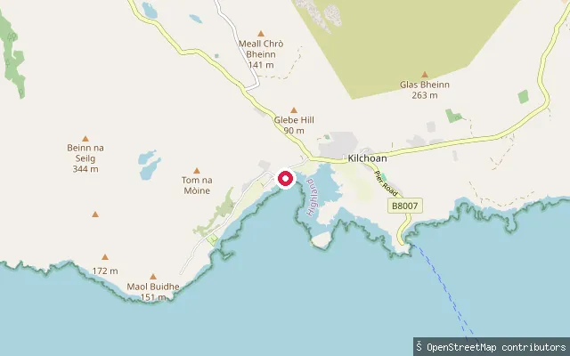 Sea
SeaOrmsaigbeg put-in (Kilchoan)
Highland, ScotlandThis slipway is at Ormsaigbeg, a shoreline hamlet forming the western part of Kilchoan on the Ardnamurchan peninsula, launching onto the Sound of Mull. It is mapped as a service road down to a public slip, matching the adjacent Highland Council slipway records for the site.
 Sea
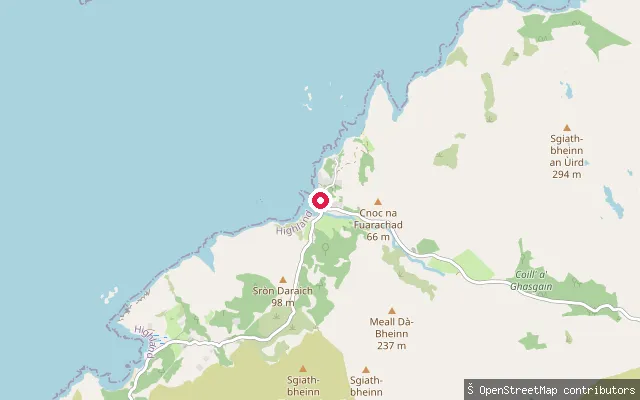
SeaOrd Public Slipway
Highland, ScotlandA named public slipway at Ord on Loch Eishort, in the Sleat peninsula, with views across the loch to the Cuillin. There are no amenities at Ord; parking is limited and informal.
 Sea
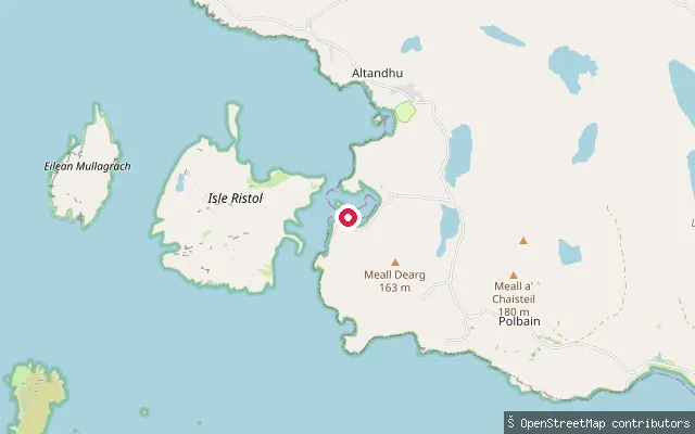
SeaOld Dornie
Highland, ScotlandOld Dornie is a small natural harbour on the Coigach coast near Polbain, giving access to the open sea close to the Summer Isles. This point marks the named slipway at the harbour's edge.
 Sea
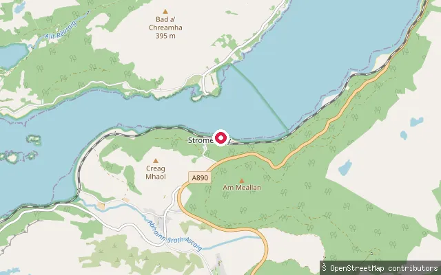
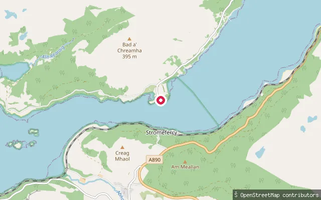
SeaNorth Strome put-in (Stromeferry)
Highland, ScotlandThis slipway is at North Strome on the north shore of Loch Carron, opposite Stromeferry, at the site of the former vehicle-ferry crossing that closed when the A890 road opened in 1970. Strome Castle ruins stand close by.
 Sea
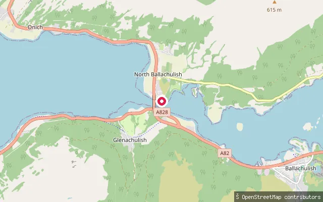
SeaNorth Strome put-in (Stromeferry)
Highland, ScotlandThis second slipway is also at North Strome on Loch Carron's north shore, a few hundred metres from the other mapped North Strome slipway, at the same former ferry landing opposite Stromeferry.
 Sea
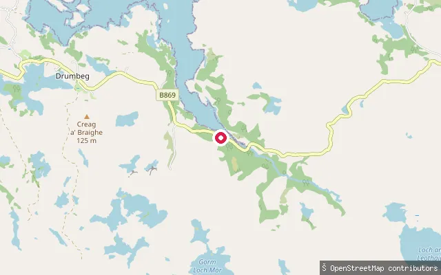
SeaNorth Ballachulish put-in
Highland, ScotlandThis slipway lies on the North Ballachulish shore of Loch Leven, at the narrows where the loch meets Loch Linnhe. It sits on the Old Ferry Road, the approach to the vehicle ferry that crossed the narrows here until the Ballachulish Bridge opened in 1975.
 Sea
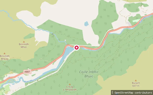
SeaNedd put-in (Drumbeg)
Highland, ScotlandLoch Nedd is a narrow sea inlet of Eddrachillis Bay in North Assynt, overlooked by the Torridonian sandstone ridge of Quinag. This slipway sits on the loch shore at the hamlet of Nedd, on the B869 near Drumbeg.
 River
RiverMoriston (Upper)
Highland, ScotlandA whitewater put-in on the upper River Moriston, mapped near Dundreggan on the A887 in Glenmoriston, upstream of the corresponding lower put-in near Invermoriston. The Moriston runs east from Loch Cluanie to Loch Ness and is part of the Garry-Moriston hydro-electric scheme, with power stations at Ceannacroc, Glenmoriston and Livishie feeding from Loch Cluanie and the Dundreggan reservoir.
 River
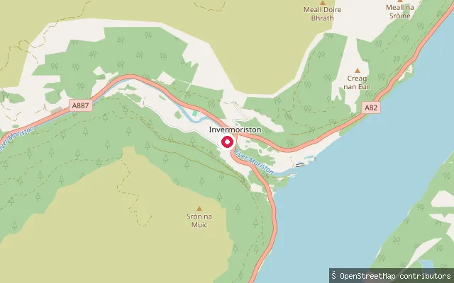
RiverMoriston (Lower)
Highland, ScotlandA whitewater put-in on the lower River Moriston close to Invermoriston, near where the river reaches Loch Ness. Flow on this reach is influenced by upstream releases from the Garry-Moriston hydro-electric scheme, which dams the river at Loch Cluanie and the Dundreggan reservoir further upstream.
 Sea
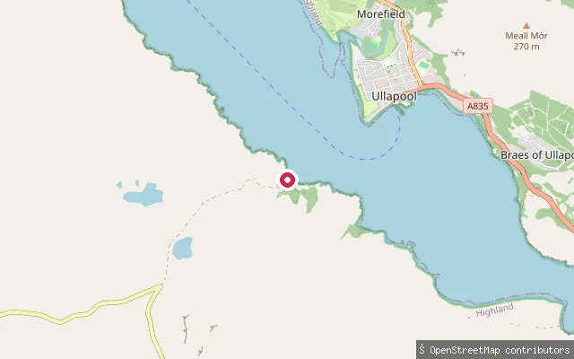
SeaMorefield put-in (Ullapool)
Highland, ScotlandThis slipway lies on the Loch Broom shore south-west of Ullapool town centre, within the wider Morefield area. OpenStreetMap's own description for the paths here reads simply "paths and roads at Loch Broom", and no separate name or facility details were found for the site.
 Sea
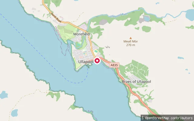
SeaMorefield put-in (Ullapool)
Highland, ScotlandThis slipway sits on the Loch Broom shore in Morefield, on the northern edge of Ullapool. It is surveyed and charted as a small-craft facility, noted as accessible by car, giving boat access to the sea loch close to the town.
 Loch
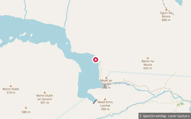
LochMonar Lodge put-in
Highland, ScotlandA slipway on Loch Monar beside Monar Lodge, a remote hamlet at the head of Glen Strathfarrar in the west Highlands. The loch has been dammed since the 1960s as part of the Affric-Beauly hydro-electric scheme, stretches around 12km, and is enclosed by mountainous terrain including several Munros.
 Sea
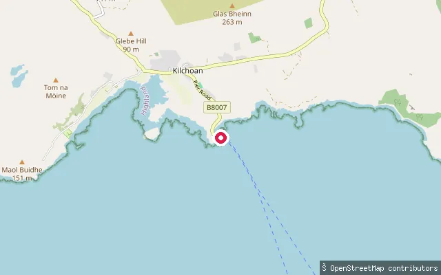
SeaMingary put-in (Kilchoan)
Highland, ScotlandThis slipway sits on the Sound of Mull at Mingary, about a kilometre east of Kilchoan village and close to Mingary Castle. It is the landing point for the CalMac car ferry between Kilchoan and Tobermory on Mull, so vehicle and passenger traffic uses the slip around sailings.
 Sea
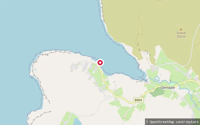
SeaMilovaig put-in
Highland, ScotlandThis slipway serves Lower Milovaig, a crofting township on the south shore of Loch Pooltiel on Skye's Duirinish peninsula. A circular coastal walk around Milovaig can be started from the pier here.
 Sea
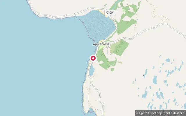
SeaMilltown put-in (Applecross)
Highland, ScotlandA slipway at Milltown, a small settlement immediately north of Applecross village on the peninsula's west coast, launching onto Applecross Bay where it opens into the Inner Sound. This node sits a few metres from node/2128164006 and may record the same slipway rather than a separate one.
 Sea
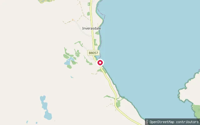
SeaMidtown put-in (Inverasdale)
Highland, ScotlandThis is the paired OSM way for the Midtown slipway in Inverasdale, on the western shore of Loch Ewe. The way is tagged as a service track leading to the slipway, usable by car.
 Canal
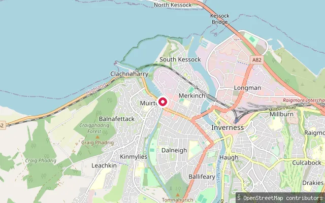
CanalMerkinch put-in
Highland, ScotlandA canoe put-in on the Caledonian Canal at Merkinch in Inverness, part of the Great Glen Canoe Trail. OSM marks the water here as non-tidal and the launch as requiring a canoe permit.
 Sea
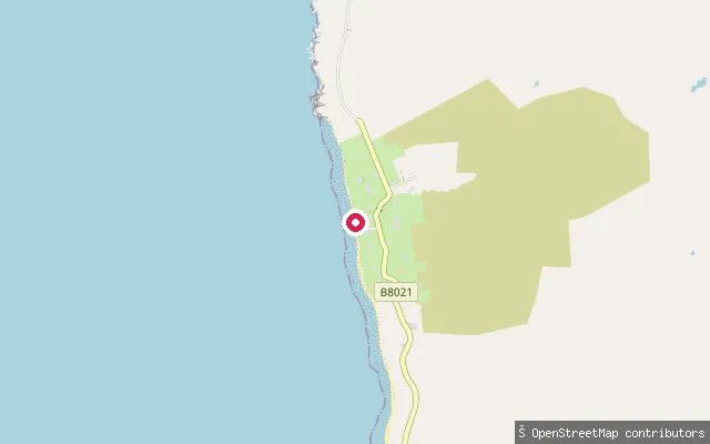
SeaMelvaig Jetty
Highland, ScotlandMelvaig Jetty sits on the coast at Melvaig, a small settlement on the Rubha Reidh peninsula about 10 miles north of Gairloch in Wester Ross, facing the open water of the Minch toward Skye and the Outer Hebrides. Melvaig lies on the road to Rua Reidh Lighthouse, and the jetty is tagged in OpenStreetMap as a slipway alongside its access road.
 Sea
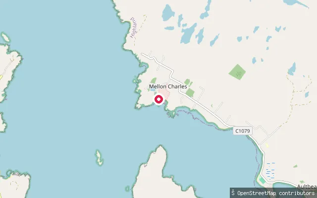
SeaMellon Charles put-in
Highland, ScotlandThis way marks the same Mellon Charles slipway near the mouth of Loch Ewe, paired with the adjoining OSM node.
 River
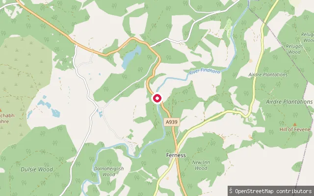
RiverLogie Bridge
Highland, ScotlandA whitewater put-in on the River Findhorn at Logie Bridge, near Ferness in the Ardclach area upstream of Randolph's Leap. The Ardclach Bell Tower, a historic watchtower overlooking the Findhorn valley, stands nearby and is open to visitors year-round.
 Loch
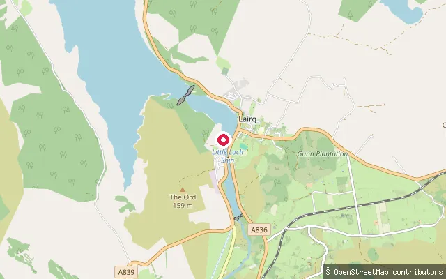
LochLoch Shin Ferrycroft Slipway
Highland, ScotlandLoch Shin is the largest loch in Sutherland, a 17-mile freshwater loch that was raised by around nine metres when the Lairg dam was built as part of a 1950s hydroelectric scheme, turning it into a reservoir. This free, concrete slipway sits on the loch's southern shore at Lairg, beside the Ferrycroft Visitor Centre.
 Sea
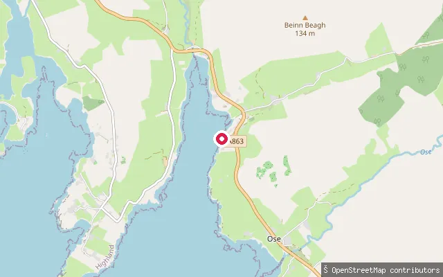
SeaLoch Caroy Jetty
Highland, ScotlandLoch Caroy is a small sea inlet of Loch Bracadale on Skye's Duirinish peninsula. A jetty and slipway give access to the loch; a paddling access-point list for Skye records a slipway here at grid reference NG306425 with no information on parking.
 Sea
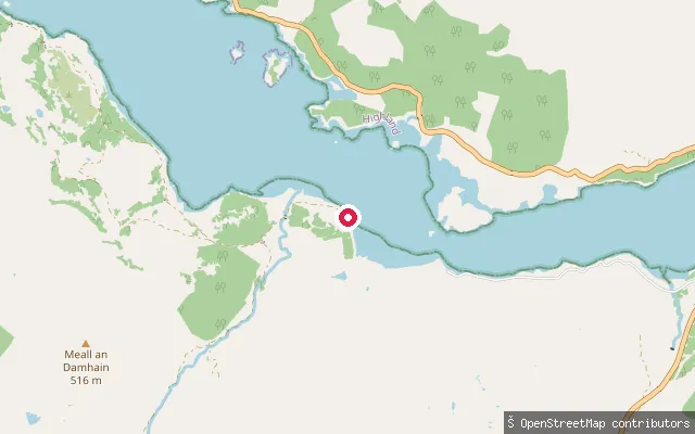
SeaLaudale House put-in
Highland, ScotlandLaudale House stands on the south shore of Loch Sunart on the Morvern peninsula, where the public road along the loch comes to an end. The put-in is an unmarked slipway beside the estate's restored 18th-century former shooting lodge, now run as self-catering accommodation.
 Sea
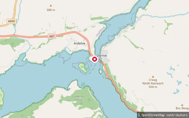
SeaArdelve Slipway (Dornie Pier)
Highland, ScotlandArdelve Slipway sits on the Loch Long road bridge's western bank, opposite Dornie, at the point where Loch Long meets Loch Duich and Loch Alsh. Eilean Donan Castle stands close by at the confluence, with Loch Long running north-east into the mountains of Kintail and Loch Alsh continuing west past Kyle of Lochalsh toward the Skye Bridge and the Inner Sound.
Save your own spots
Keep the places you launch, check the wind and shelter before you go, and log every paddle. Add a spot to the directory too, and other paddlers will find it. Free to start.
Some launch spots in this directory are seeded from open data. © OpenStreetMap contributors · Open Database Licence (ODbL) · Machine-readable copy