Paddleboarding spots in Shetland Islands
48 launch spots across Shetland Islands
Every mapped spot in Shetland Islands
Zoom in to split a cluster; open a pin for the spotMap of every spot in Shetland Islands
The interactive map opens on any device with JavaScript. The full list of launch spots is below.
Launch spots
Showing 24 of 48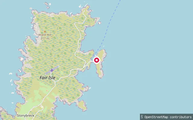 Sea
SeaNorth Haven pier, Fair Isle
Shetland Islands, ScotlandNorth Haven is a natural cove on the northeast coast of Fair Isle and the island's main harbour, used by the Good Shepherd IV ferry that connects Fair Isle to Shetland Mainland. The Shetland Islands Council small-ports guide describes it as a well-sheltered, easily accessible pier with an 80-metre berth and roughly 3.6 metres of water alongside.
 Sea
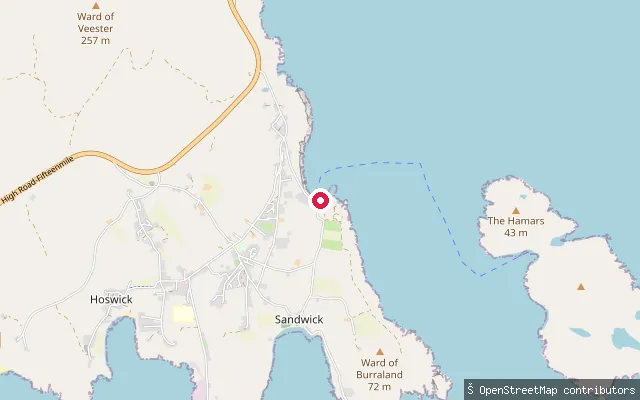
SeaSandsayre Pier and Slipway
Shetland Islands, ScotlandSandsayre Pier is the named departure point at Leebitton, Sandwick, for the seasonal Mousa Boat, a passenger ferry that makes the roughly 15-minute crossing of Mousa Sound to the island of Mousa and its Iron Age broch. The pier also hosts a local sailing club's races and regatta.
 Sea
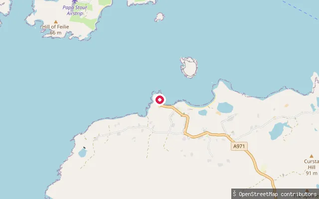
SeaSandness put-in
Shetland Islands, ScotlandThis slipway lies on the A971 near Sandness on Shetland's West Mainland, launching onto Papa Sound, the strait that separates the Sandness peninsula from the island of Papa Stour a mile to the northwest. Papa Sound opens north into St Magnus Bay.
 Sea
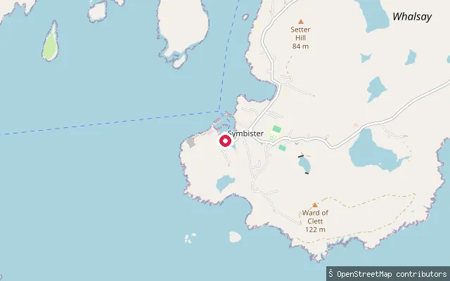
SeaSaltness put-in (Symbister)
Shetland Islands, ScotlandThis is the same Saltness-side slipway on Symbister Voe as the adjacent node/2128071383, a few metres away, marking one physical launch point on the peninsula opposite Symbister village.
 Sea
SeaPunds put-in (Toab)
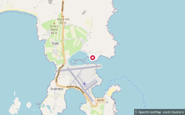
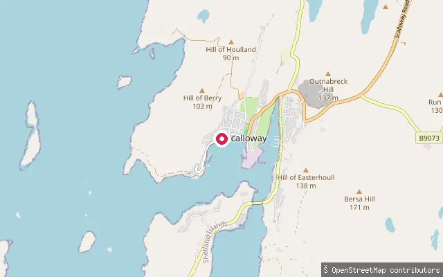
Shetland Islands, ScotlandThis slipway sits on the Pool of Virkie, a tidal bay on the south coast of Shetland Mainland, in the small hamlet of Punds between Toab and Virkie. It shares the shore with the Ness Boating Club marina and lies close to Sumburgh Airport at the southern tip of Mainland.
 Sea
SeaPrince Olav Slipway
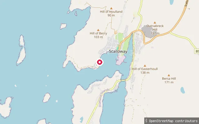
Shetland Islands, ScotlandPrince Olav Slipway is a working slipway on Scalloway's Main Street, built during the Second World War as part of the Shetland Bus base used by William Moore & Son to repair the small Norwegian boats that ran agents and supplies across the North Sea to occupied Norway. It launches directly onto Scalloway's sheltered harbour.
 Sea
SeaPort Arthur put-in (Scalloway)
Shetland Islands, ScotlandThis slipway sits in the Port Arthur quarter of Scalloway, a fishing port on the west side of Mainland Shetland whose sheltered harbour was known to Hanseatic traders as Schaldewage. The launch faces the harbour itself rather than open water, close to the town's Main Street.
 Sea
SeaOrdale put-in (Baltasound)
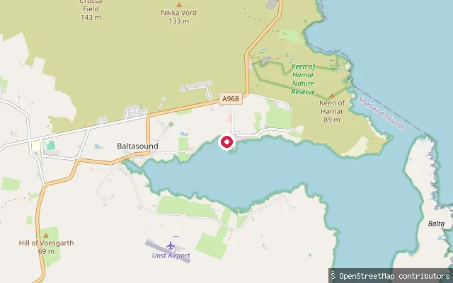
Shetland Islands, ScotlandThis slipway sits on the shore of Balta Sound near Hagdale, the sheltered inlet that gives Baltasound its name, on the east coast of Unst. Baltasound, Unst's largest settlement, lies a short distance to the south.
 Sea
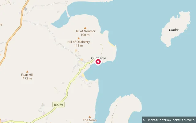
SeaOllaberry put-in
Shetland Islands, ScotlandOllaberry is a village on Ollaberry Bay, on the west shore of Yell Sound in Northmavine. A slipway and small beach sit by the pier here, with the island of Lamba about a mile offshore and views across the sound toward Yell.
 Sea
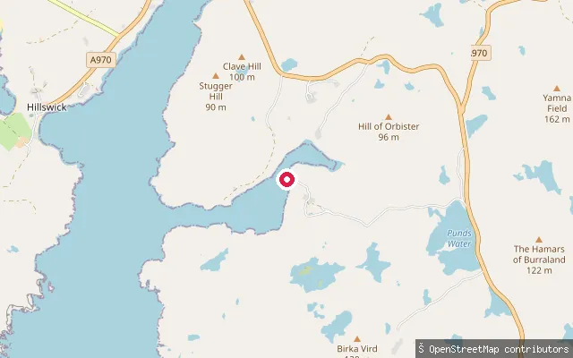
SeaUrafirth slipway
Shetland Islands, ScotlandThis slipway sits in the hamlet of Urafirth, on Ura Firth near Hillswick in Northmavine, on Shetland Mainland's rugged north-west coast. It gives access to the sheltered water of the firth off the A970.
 Sea
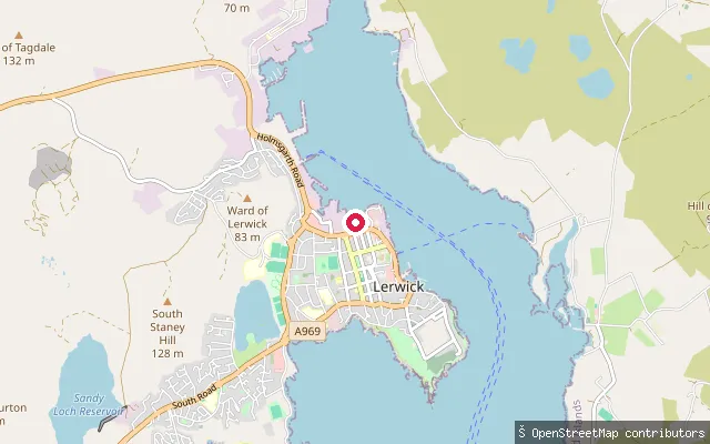
SeaLerwick put-in
Shetland Islands, ScotlandA slipway at Freefield on the south side of Lerwick, launching onto Bressay Sound, the sheltered stretch of water separating the town from Bressay island.
 Sea
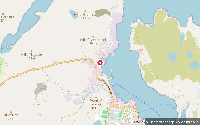
SeaLerwick put-in
Shetland Islands, ScotlandA slipway at Gremista on the northern edge of Lerwick, launching onto Bressay Sound, the natural harbour between the Shetland Mainland and the island of Bressay that has made Lerwick a working fishing and ferry port.
 Sea
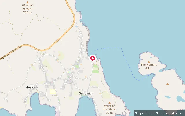
SeaLeebitten put-in (Sandwick)
Shetland Islands, ScotlandThis slipway sits at Leebitton (also spelt Leebitten), part of Sandwick on Shetland's South Mainland, and connects the road network to the pier used by the seasonal passenger ferry to Mousa. A local sailing club based at Leebitton also races traditional Shetland model boats from here.
 Sea
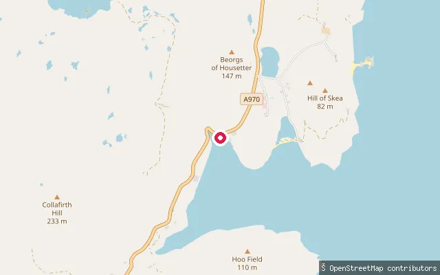
SeaHousetter put-in
Shetland Islands, ScotlandHousetter is a small settlement on the shore of Colla Firth, near North Roe in Northmavine and a few miles north of Ollaberry. This way is the same slipway as the neighbouring Housetter node, mapped as a short car-accessible ramp.
 Sea
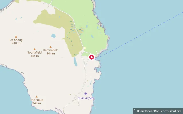
SeaHam put-in
Shetland Islands, ScotlandThis slipway is at Ham Voe on the east coast of Foula, the island's only beach and its main harbour. Foula has little natural shelter for boats, so local craft, including the mail boat, are normally hauled out of the water; a hidden reef, the Hoevdi Grund or Shaalds o' Foula, lies a few kilometres east between Foula and the Shetland Mainland with tidal streams reported up to 12 knots.
 Sea
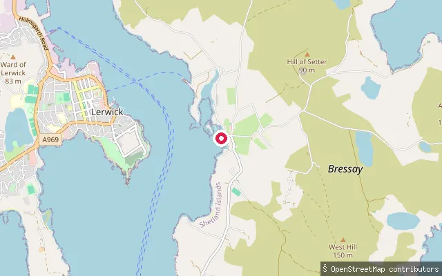
SeaGrindiscol put-in
Shetland Islands, ScotlandA slipway on the west coast of Bressay near the hamlet of Ham, close to the named hamlet of Grindiscol, launching onto Bressay Sound opposite Lerwick.
 Sea
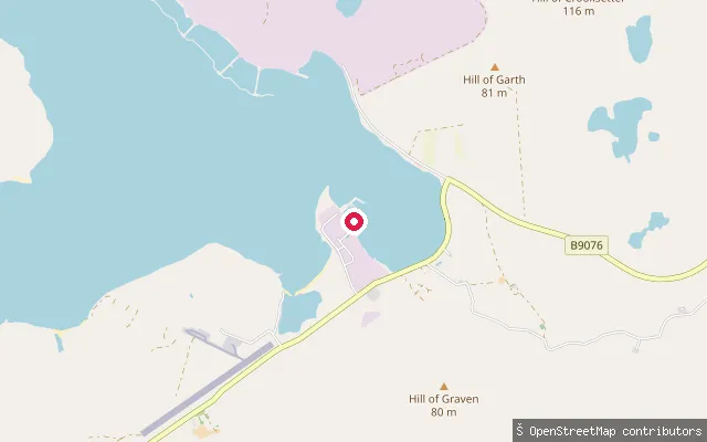
SeaGraven put-in
Shetland Islands, ScotlandThis is a second slipway at Graven, on the B9076 near Brae in Delting, about 150m from the other Graven entry in this batch. It sits on the coastline close to the Voe of Scatsta.
 Sea
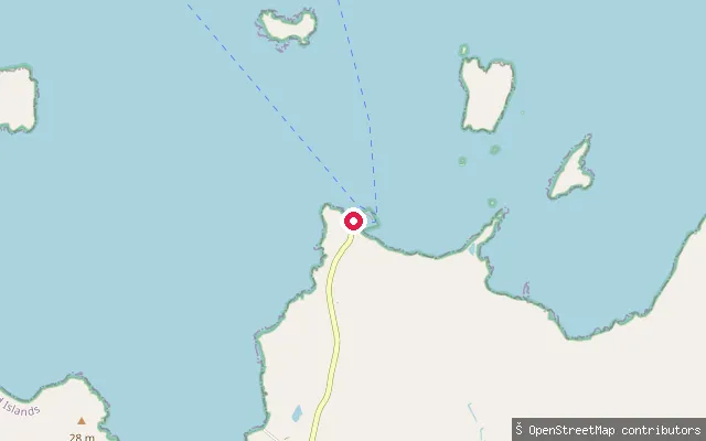
SeaOddsta slipway (Fetlar)
Shetland Islands, ScotlandThis slipway lies near Oddsta and Hamars Ness on Fetlar's west coast, on Colgrave Sound, the strait separating Fetlar from Yell and the island of Hascosay. The Fetlar ferry to Gutcher on Yell and Belmont on Unst sails from the nearby Hamars Ness terminal, rebuilt with a new breakwater in 2012.
 Sea
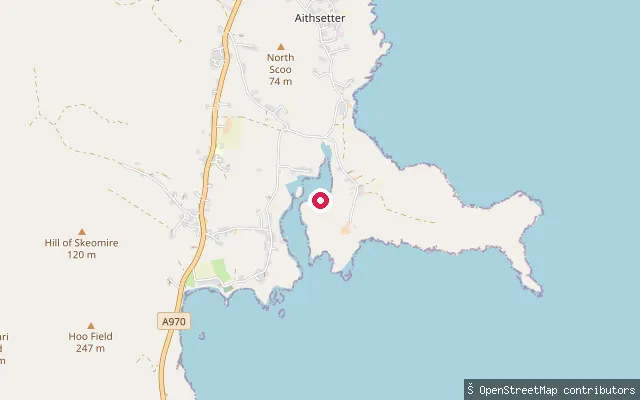
SeaDisaldo put-in (Aithsetter)
Shetland Islands, ScotlandThis is the way-geometry of the same Aithsetter slipway on Shetland's South Mainland, launching onto Mousa Sound opposite the island of Mousa. OSM tags it as a service road with car access down to the slipway, also marked as a small-craft facility for mariners.
 Sea
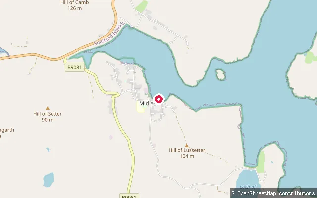
SeaCamb put-in (Mid Yell)
Shetland Islands, ScotlandThis slipway is part of Linkshouse Pier on Mid Yell Voe, the sheltered sea inlet on Yell's east coast around which the village of Mid Yell, the island's largest settlement, is built.
 Sea
SeaBurra and Trondra put-in (Bridge End)
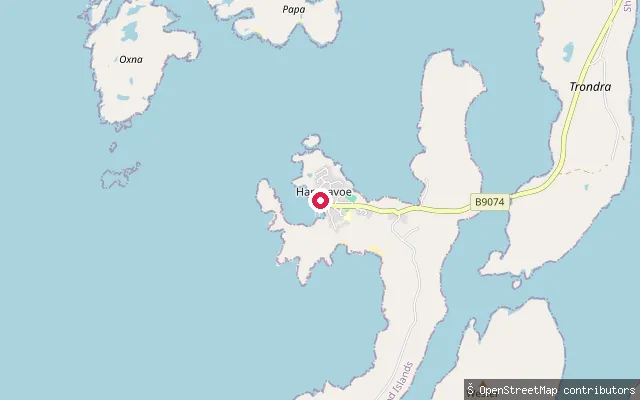
Shetland Islands, ScotlandA car-accessible slipway at Bridge End in Hamnavoe village, on the road bridge crossing that links Trondra to Burra in the Scalloway Islands. It launches onto Hamna Voe, the sheltered inlet the village is named for.
 Sea
SeaBressay put-in
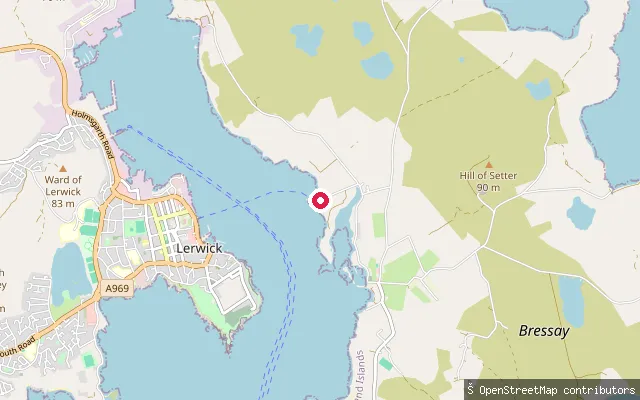
Shetland Islands, ScotlandA slipway at Heogan on Bressay island, facing Lerwick across Bressay Sound. Bressay itself sits south of Whalsay and north of Mousa, with most of its roughly 350 residents living on the west coast facing the Sound.
 Sea
SeaAith put-in
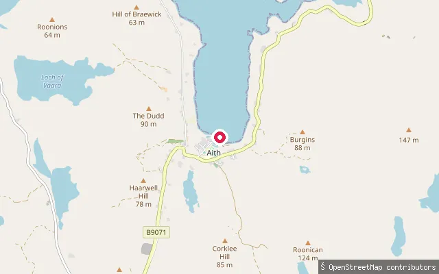
Shetland Islands, ScotlandAith Voe is a sheltered sea inlet on Shetland Mainland's north-west coast, with the village of Aith at its head. Aith Voe was picked as one of the most sheltered moorings on this coast, and the village hosts the UK's most northerly RNLI lifeboat station at its southern end.
 Sea
SeaLaxfirth slipway
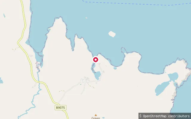
Shetland Islands, ScotlandThis slipway sits at the head of Lax Firth, a sheltered sea inlet on the east coast of Shetland Mainland in Nesting parish, close to the hamlet of Gott. It is mapped on OpenStreetMap simply as a slipway, with no further access details recorded.
Save your own spots
Keep the places you launch, check the wind and shelter before you go, and log every paddle. Add a spot to the directory too, and other paddlers will find it. Free to start.
Some launch spots in this directory are seeded from open data. © OpenStreetMap contributors · Open Database Licence (ODbL) · Machine-readable copy