Paddleboarding spots in Argyll and Bute
109 launch spots across Argyll and Bute
Every mapped spot in Argyll and Bute
Zoom in to split a cluster; open a pin for the spotMap of every spot in Argyll and Bute
The interactive map opens on any device with JavaScript. The full list of launch spots is below.
Launch spots
Showing 13 of 109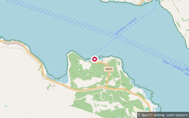 Sea
SeaFishnish slipway
Argyll and Bute, ScotlandThis slipway sits inside the Fishnish ferry terminal on the Isle of Mull, roughly halfway between Craignure and Tobermory. Caledonian MacBrayne runs the car ferry from here across the Sound of Mull to Lochaline on the mainland, so the slip is shared with ferry traffic and a vehicle marshalling area.
 Sea
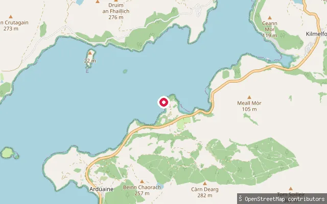
SeaArduaine put-in
Argyll and Bute, ScotlandThis is a second slipway structure at Arduaine Jetty on Asknish Bay, around 70 metres from the adjoining slip. Asknish Bay lies at the mouth of Loch Melfort and the jetty here doubles as a launch point for sea kayaks, paddleboards and wild swimming.
 Sea
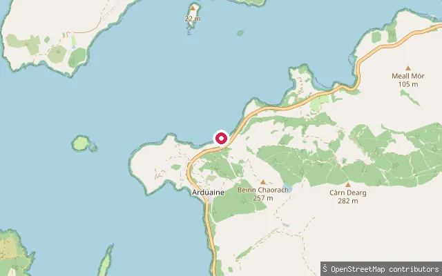
SeaArduaine put-in
Argyll and Bute, ScotlandThis slipway is on the coast south of Arduaine Point, facing Loch Shuna rather than Asknish Bay on the other side of the promontory. Loch Shuna opens south-west towards Shuna Island and on to the Sound of Jura.
 Sea
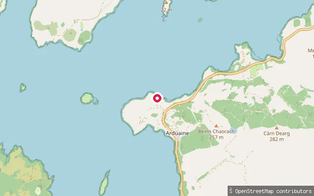
SeaArduaine put-in
Argyll and Bute, ScotlandThis slipway is on the shore near a prehistoric dun (fortified site) south of Arduaine, on the Loch Shuna side of the peninsula. The coast here faces Shuna Island and the channel down towards Craobh Haven.
 Sea
SeaArdtaraig put-in
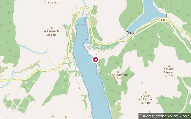
Argyll and Bute, ScotlandThis slipway sits on the west shore of Loch Striven at Ardtaraig on the Cowal peninsula, near the head of the loch and the hamlet of Lochhead. Loch Striven is a sea loch about 13 kilometres long with deep, secluded water often compared to a Norwegian fjord, and a hydro-electric station opened at Ardtaraig in 1951.
 Sea
SeaArdnagowan put-in (Inveraray)
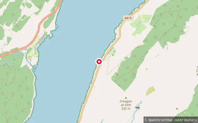
Argyll and Bute, ScotlandThis second slipway sits a short distance from the first at Ardnagowan, on the Loch Fyne shore of the Argyll Caravan Park about two miles south of Inveraray. It gives further boat and paddlecraft access to the loch alongside the park's main launch point.
 Sea
SeaArdlussa put-in
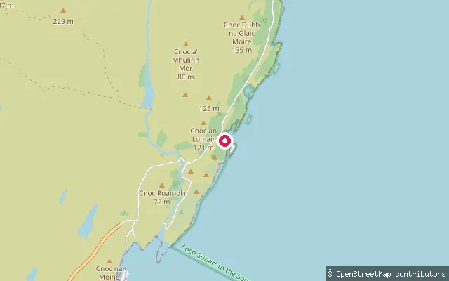
Argyll and Bute, ScotlandArdlussa is a small estate settlement on the east coast of Jura, overlooking Ardlussa Bay on the Sound of Jura. A pier and slipway serve the settlement, historically part of the droving and ferry routes that once crossed to the Argyll mainland.
 Sea
SeaArdfern put-in
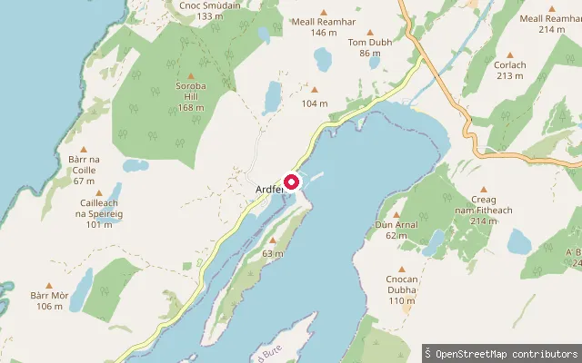
Argyll and Bute, ScotlandThis slipway is at Ardfern Yacht Centre, at the head of Loch Craignish, a sheltered sea loch on the mid-Argyll coast that opens south into the Sound of Jura. The yacht centre charges a small fee to launch by car and also hires out paddleboards and kayaks from its waterside cafe.
 Sea
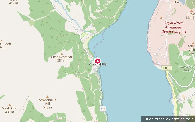
SeaArdentinny put-in
Argyll and Bute, ScotlandArdentinny is a small village on the west shore of Loch Long in Argyll and Bute, within Loch Lomond and The Trossachs National Park. The slipway sits on the village foreshore, giving access onto this tidal sea loch that runs from the Firth of Clyde up to the Arrochar Alps.
 Sea
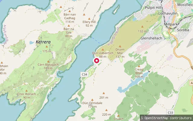
SeaPort Gallanach slipway
Argyll and Bute, ScotlandThis slipway is at Port Gallanach, about two miles south-west of Oban on the Sound of Kerrera, the channel separating the mainland from the Isle of Kerrera. It shares its site with Puffin Dive Centre, which also runs guided stand-up paddleboard tours and hires out SUP boards.
 Sea
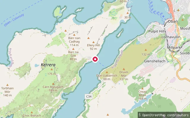
SeaGallanach Road slipway (Balliemore)
Argyll and Bute, ScotlandThis slipway lies on Gallanach Road south of Oban, near the hamlet of Balliemore, on the Sound of Kerrera opposite the island of Kerrera. It is charted as a small-craft facility, distinct from the passenger ferry to Kerrera that departs further south at Gallanach itself.
 River
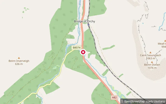
RiverAllt Kinglass
Argyll and Bute, ScotlandThis access point sits on the River Orchy a short way north of Bridge of Orchy village, close to where the Allt Kinglass tributary joins the river before it drops through Glen Orchy toward Loch Awe. The Orchy here is a graded whitewater river (grade 3 to 5), paddled mainly by kayakers between October and March when rainfall keeps levels up.
 Sea
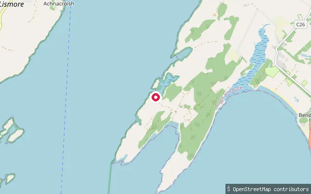
SeaAchnacroish put-in
Argyll and Bute, ScotlandAn unpaved slipway on the east shore of the Isle of Lismore, on the Lynn of Lorn arm of Loch Linnhe, close to Achnacroish, Lismore's largest settlement and the pier for the vehicle ferry to Oban.
Save your own spots
Keep the places you launch, check the wind and shelter before you go, and log every paddle. Add a spot to the directory too, and other paddlers will find it. Free to start.
Some launch spots in this directory are seeded from open data. © OpenStreetMap contributors · Open Database Licence (ODbL) · Machine-readable copy