Paddleboarding spots in Argyll and Bute
109 launch spots across Argyll and Bute
Every mapped spot in Argyll and Bute
Zoom in to split a cluster; open a pin for the spotMap of every spot in Argyll and Bute
The interactive map opens on any device with JavaScript. The full list of launch spots is below.
Launch spots
Showing 24 of 109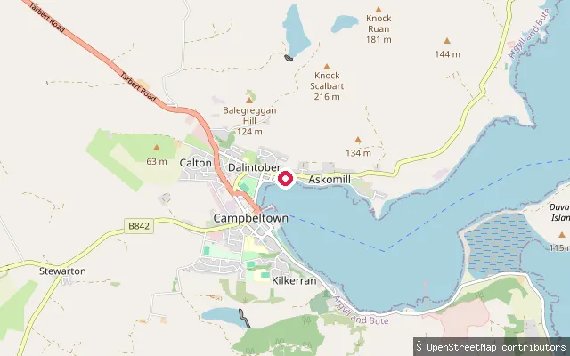 Sea
SeaAskomill slipway, Campbeltown
Argyll and Bute, ScotlandA slipway reached by a short service road in the Askomill area on the north side of Campbeltown, on the shore of Campbeltown Loch. OSM records it as fee-free. The original harvested name pointed inland to Crosshill Farm and Crosshill Loch, a separate freshwater reservoir south of the town that has no connection to this coastal launch point.
 Sea
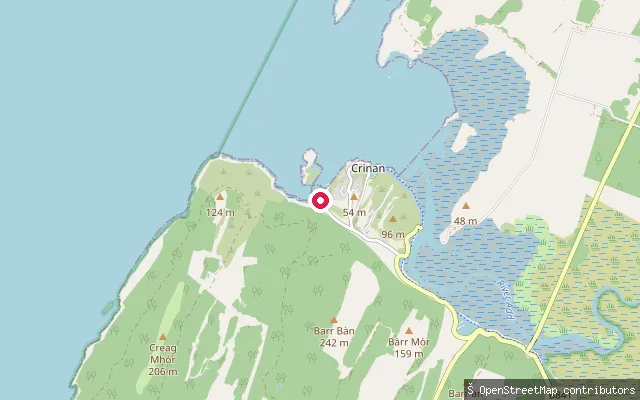
SeaCrinan put-in
Argyll and Bute, ScotlandCrinan stands where the Crinan Canal meets Loch Crinan, a sea loch opening onto the Sound of Jura. A public slipway sits by the harbour close to the Crinan Boatyard, with views across the sound to the Hebridean islands. The Crinan Harbour Association also runs a pontoon and slipway for visitors on an honesty-box donation basis.
 Sea
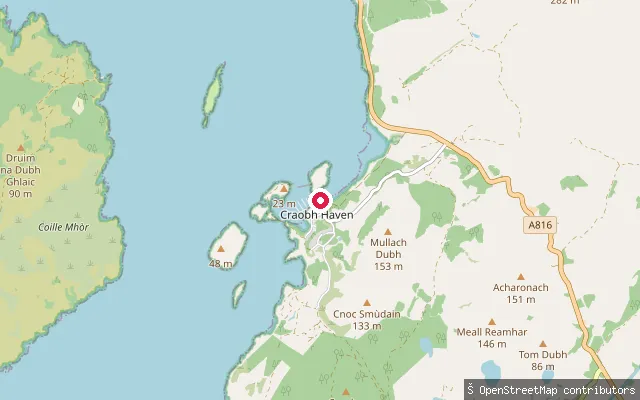
SeaCraobh Haven put-in
Argyll and Bute, ScotlandThis slipway is part of Craobh Haven Marina, a leisure marina built in the early 1980s by joining a group of small islets with causeways, opening onto Shuna Sound. The marina slip is gated, so launching needs coordinating with the marina office, and Craobh Haven Watersports in the village hires out paddleboards and sit-on-top kayaks.
 Sea
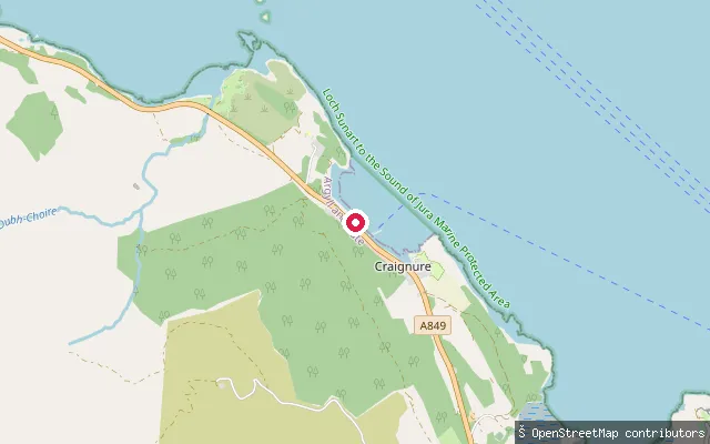
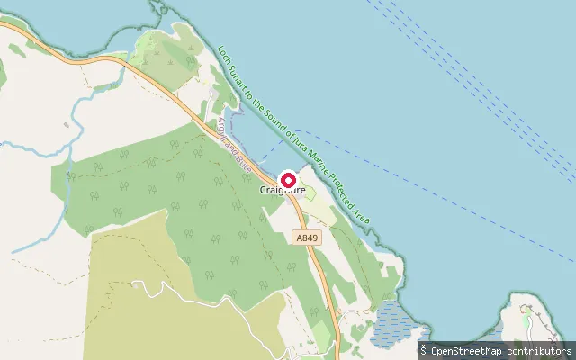
SeaCraignure put-in
Argyll and Bute, ScotlandThis second slipway is on the western side of Craignure Bay, just off the A849 a short distance from the main ferry pier, still on the Sound of Mull side of Mull's east coast.
 Sea
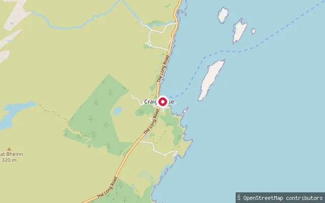
SeaCraignure put-in
Argyll and Bute, ScotlandThis slipway lies in Craignure village on Mull's east coast, on Craignure Bay within the Sound of Mull. Craignure is Mull's main ferry gateway, with a CalMac car ferry running from Oban several times a day, more often in summer.
 Sea
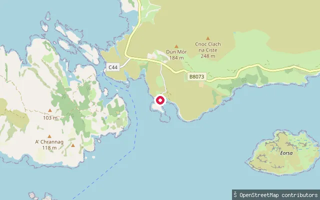
SeaCraighouse slipway
Argyll and Bute, ScotlandA concrete slipway on Pier Road in Craighouse, the main village on Jura, launching onto Small Isles Bay at the southern end of the Sound of Jura. The bay is sheltered, and the village a short walk away has a hotel, shop and the Jura distillery.
 Sea
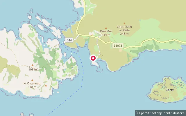
SeaOskamull slipway (service road)
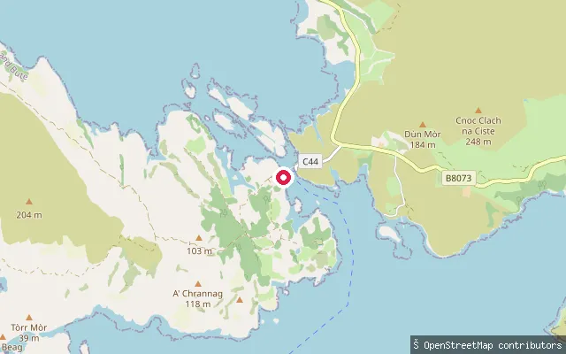
Argyll and Bute, ScotlandThis slipway lies on the Loch Tuath shore near Oskamull, about 200 metres east of another mapped slipway, and is reached by a short service road down to the water.
 Sea
SeaOskamull slipway
Argyll and Bute, ScotlandThis is a small slipway on the Loch Tuath shore near Oskamull, on Mull's north coast opposite the island of Ulva, about 1.3km east of the Ulva Ferry crossing.
 Sea
SeaUlva Ferry slipway
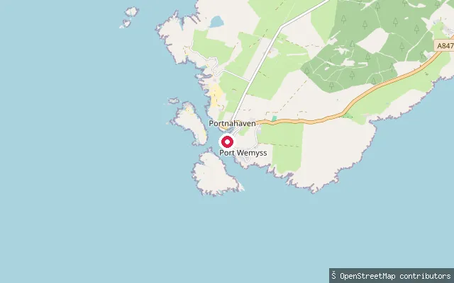
Argyll and Bute, ScotlandThis slipway forms part of the Ulva Ferry crossing on the north coast of Mull, where a passenger ferry crosses the narrow Sound of Ulva to the neighbouring island of Ulva. OpenStreetMap tags the site as a ferry terminal with a floating pier alongside the slipway.
 Sea
SeaPortnahaven slipway (Portnahaven Bay)
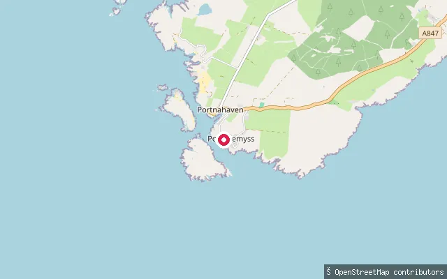
Argyll and Bute, ScotlandA concrete slipway on the Portnahaven side of the harbour it shares with Port Wemyss, on the southern tip of Islay's Rinns peninsula. The lighthouse island of Orsay sits just offshore, and tidal streams around it and nearby Frenchman's Rocks can run strongly.
 Sea
SeaPort Wemyss slipway (Portnahaven Bay)
Argyll and Bute, ScotlandA concrete slipway on the shared harbour that Port Wemyss and Portnahaven wrap around, at the southern tip of Islay's Rinns. The bay is sheltered by the offshore island of Orsay and its lighthouse, though strong tidal streams run in the open water beyond the harbour mouth.
 Sea
SeaCarradale Harbour put-in
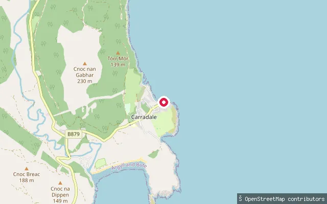
Argyll and Bute, ScotlandCarradale Harbour is on the east coast of Kintyre, opening onto the Kilbrannan Sound opposite Arran, with a car park, public toilets, and a landing beach beside the harbour wall. Seals and eider ducks are regular visitors to the harbour, and dolphins or basking sharks are occasionally seen just outside it in late summer.
 Sea
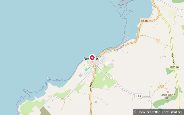
SeaBowmore put-in
Argyll and Bute, ScotlandThis concrete slipway is the Bowmore slip, on the shore of Loch Indaal near the Harbour Inn in the centre of Bowmore. Bowmore's pier dates from 1750 and was extended during the Second World War, when Sunderland and Catalina flying boats operated from the loch.
 Sea
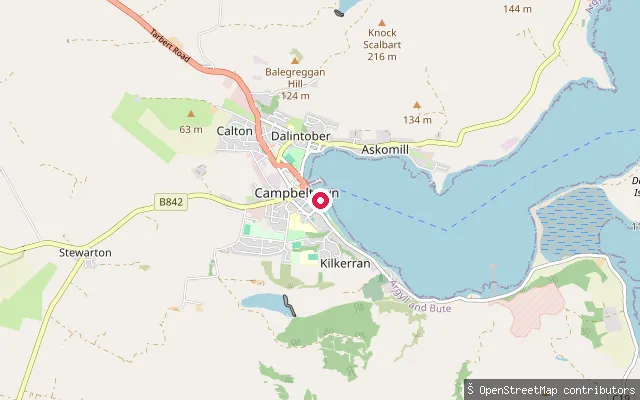
SeaBoat Launch Ramp
Argyll and Bute, ScotlandA slipway and pier structure in the Dalintober area of Campbeltown, on the shore of Campbeltown Loch near the ferry terminal and New Quay. Campbeltown Loch is a small sea loch opening east to the Firth of Clyde, with the harbour's main slipway able to take fishing vessels and small pleasure craft.
 Loch
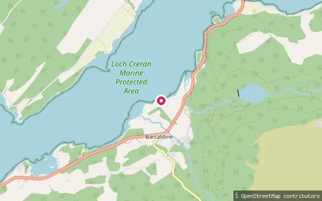
LochCreran Marine slipway, Barcaldine
Argyll and Bute, ScotlandA boatyard slipway on the south shore of Loch Creran at Barcaldine, part of the Creran Marine boatyard. Loch Creran narrows a short paddle to the northeast at the Creagan Narrows, where tidal streams run strongly enough that sea kayakers time their passage for slack water.
 Sea
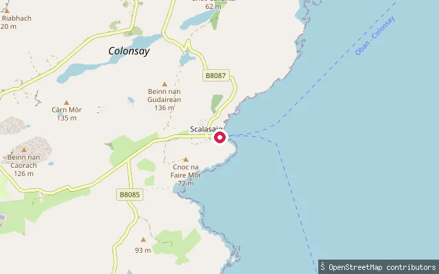
SeaLoch Staosnaig slipway (Scalasaig)
Argyll and Bute, ScotlandA second, adjacent slipway node on the same stretch of Loch Staosnaig (Queen's Bay), a sheltered tidal bay on Colonsay's east coast a short walk south of Scalasaig. The bay is described as offering the best natural shelter on the island's east side, with views across to Jura.
 River
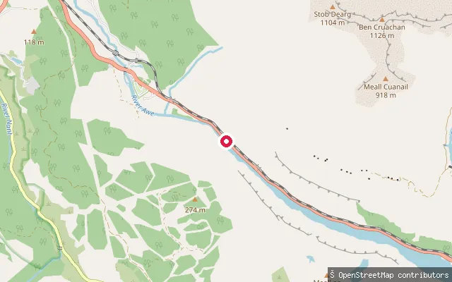
RiverAwe Barrage
Argyll and Bute, ScotlandThis is a whitewater put-in on the River Awe at the Awe Barrage in the Pass of Brander, where a hydro-electric scheme releases a controlled flow down to Loch Etive near Taynuilt. A fish pass alongside the barrage allows spawning salmon through to Loch Awe.
 Loch
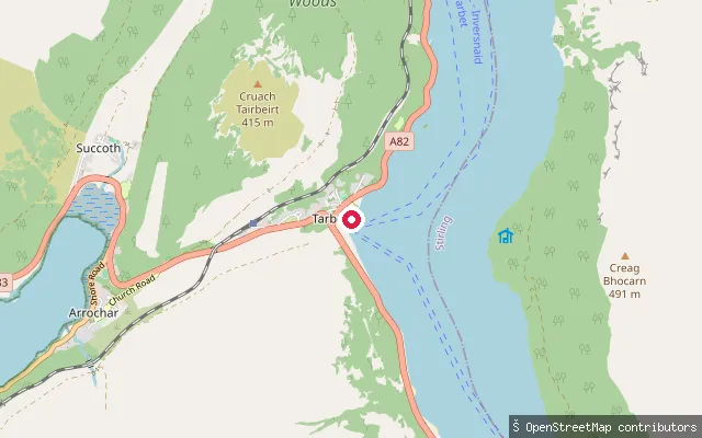
LochAuchendarroch put-in (Tarbet)
Argyll and Bute, ScotlandThis slipway on the A82 at Tarbet gives access to Loch Lomond beside Auchendarroch. The ramp is signed with trailer, vessel-size and speed limits and a contact number for access. Under Loch Lomond's 2023 boating byelaws you must register as a user, or register your craft, before launching.
 Sea
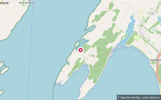
SeaAchnacroish slipway (east)
Argyll and Bute, ScotlandA second unpaved slipway about 150 metres east of the main Achnacroish put-in, launching onto the same Lynn of Lorn shore of Lismore.
 Sea
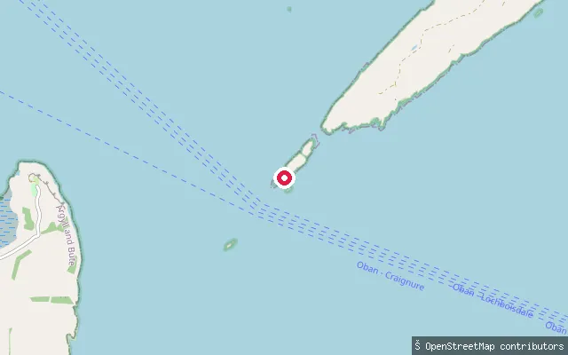
SeaLismore slipway (Kilcheran)
Argyll and Bute, ScotlandThis slipway sits on the island of Lismore, near the southern settlement of Kilcheran, in the waters of Loch Linnhe close to where it meets the Sound of Mull and the Firth of Lorn. Lismore is reached by a car ferry from Oban to Achnacroish or a passenger ferry from Port Appin.
 Loch
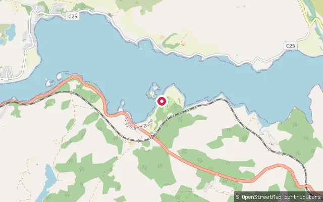
LochLoch Etive shore slipway, Ardchattan
Argyll and Bute, ScotlandA small slipway on the north shore of Loch Etive near Ardchattan, a few miles east of Connel. Loch Etive is a long sea loch whose mouth, at Connel Bridge to the west, forms the Falls of Lora tidal race; this stretch further up the north shore is quieter, single-track-road country with scattered private moorings.
 Sea
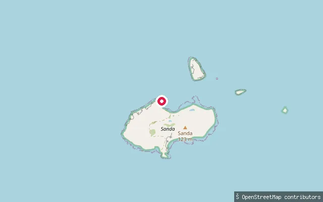
SeaSanda Island slipway (Oitir Buidhe)
Argyll and Bute, ScotlandA stone slipway on the Oitir Buidhe sand spit on the north shore of Sanda Island, a small privately owned island reached by boat from Southend or Campbeltown across the Sound of Sanda. Sanda has no public ferry and no usual residents; visitors generally land along the beach but are asked to stay clear of the owners' house and garden. Spring tidal streams through the Sound of Sanda run at several knots.
 Sea
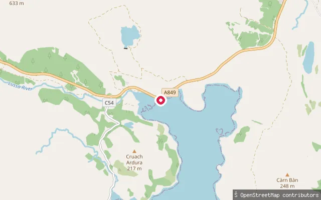
SeaLochdon slipway
Argyll and Bute, ScotlandThis slipway is at Lochdon, a small settlement at the head of Loch Don on Mull's east coast, off the A849 between Craignure and Grass Point. Loch Don is a tidal sea loch that dries almost completely at low water, so launch conditions change sharply with the tide.
 Sea
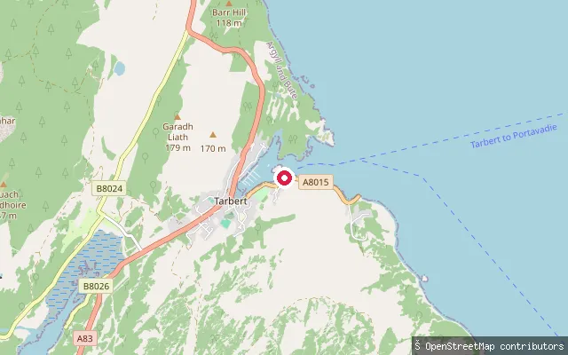
SeaTarbert put-in (Pier Road)
Argyll and Bute, ScotlandThis slipway lies on Pier Road in Tarbert, on the shore of East Loch Tarbert, the sheltered inlet of Loch Fyne around which the village grew as a herring-fishing port. Tarbert remains a working harbour and today hosts the Scottish Series yacht race and an annual seafood festival.
Save your own spots
Keep the places you launch, check the wind and shelter before you go, and log every paddle. Add a spot to the directory too, and other paddlers will find it. Free to start.
Some launch spots in this directory are seeded from open data. © OpenStreetMap contributors · Open Database Licence (ODbL) · Machine-readable copy