Paddleboarding spots in Highland
177 launch spots across Highland
Every mapped spot in Highland
Zoom in to split a cluster; open a pin for the spotMap of every spot in Highland
The interactive map opens on any device with JavaScript. The full list of launch spots is below.
Launch spots
Showing 24 of 177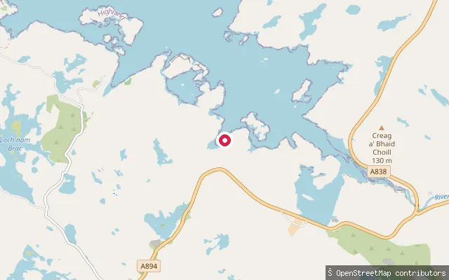 Sea
SeaLoch Laxford slipway, Foindle
Highland, ScotlandThis slipway launches onto Loch Laxford close to Foindle on the loch's south shore, a few metres from another mapped slipway node at the same spot. Loch Laxford is a sheltered sea loch used by sea kayakers exploring its skerries and inlets between Scourie and Kinlochbervie.
 Sea
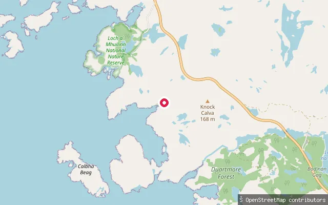
SeaDuartmore slipway
Highland, ScotlandThis is a slipway on the shore of Loch a' Chàirn Bhàin (also called Loch Cairnbawn), the sea inlet off Eddrachillis Bay between Kylesku and Scourie. It sits close to the Loch a' Mhuilinn National Nature Reserve, a peninsula of ancient oakwood whose OS mapping OSM's own note points to. The reserve's shore is otherwise reachable only on foot from a small car park on the A894, so this slipway gives water access to that stretch of coast.
 Sea
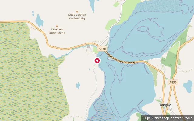
SeaKyle of Tongue causeway slipway, Melness side (north)
Highland, ScotlandThis second slipway lies around 140 metres north of the main Melness-side crossing point on the Kyle of Tongue Causeway, reaching the same tidal stretch of the loch. Conditions match the neighbouring slipway, with fast currents near the bridge and extensive mudflats at low tide.
 Sea
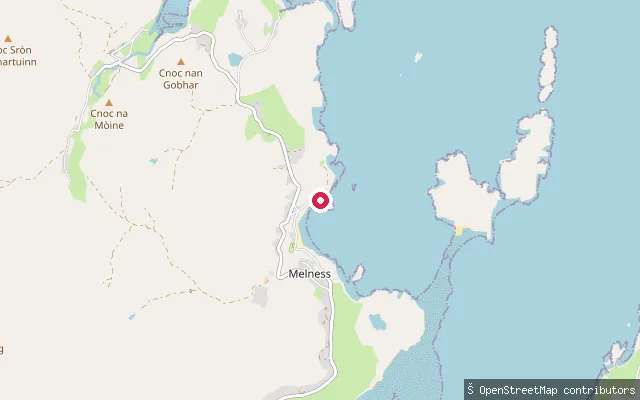
SeaTalmine harbour slipway
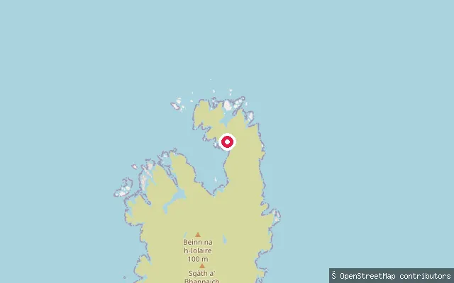
Highland, ScotlandTalmine Bay is a small inlet on the western shore of Tongue Bay, on Sutherland's north coast. A pier slipway at the crofting township of Talmine gives access to the bay, about four miles north of Tongue by road.
 Sea
SeaLoch a' Bhraige slipway, Rona
Highland, ScotlandA slipway on Loch a' Bhraige, a sheltered sea inlet on Rona, a small privately owned island north of Raasay reached only by private boat charter from Portree. OpenStreetMap records only the leisure=slipway tag, with no further detail.
 River
RiverRiver Roy Gorge, Head Banger portage end
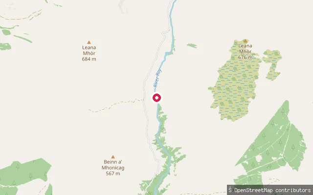
Highland, ScotlandThis point marks the downstream end of the portage route around Head Banger, a grade 5 rapid on the River Roy gorge in Glen Roy. It lies about 150 metres below the inspection point where paddlers leave the water, inside a remote gorge well below the level of Glenroy Road.
 River
RiverRiver Roy Gorge, Head Banger inspection point
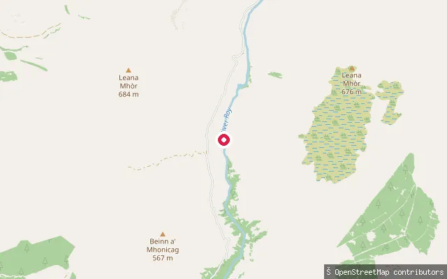
Highland, ScotlandThis is an inspection and portage point on the River Roy gorge, a whitewater river in Glen Roy above the village of Roy Bridge. The OSM node marks where paddlers get out on river left to look at or carry around Head Banger, a grade 5 rapid on a left-hand bend. It sits inside a steep-sided gorge reached by a long walk-in from Glenroy Road, well below road level.
 Sea
SeaWick Harbour slipway (Pulteneytown)
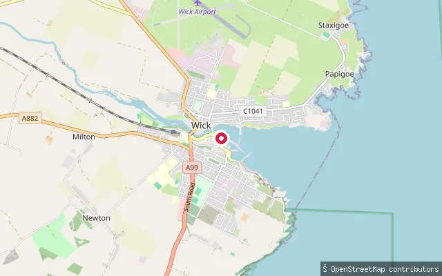
Highland, ScotlandThis slipway sits on Harbour Quay in Pulteneytown, the district built alongside Wick's harbour from 1803 to house the herring trade. Wick Harbour is a working harbour with an inner marina, and the slipway gives small-craft access to the harbour basin at the mouth of the River Wick, on the North Sea coast.
 Sea
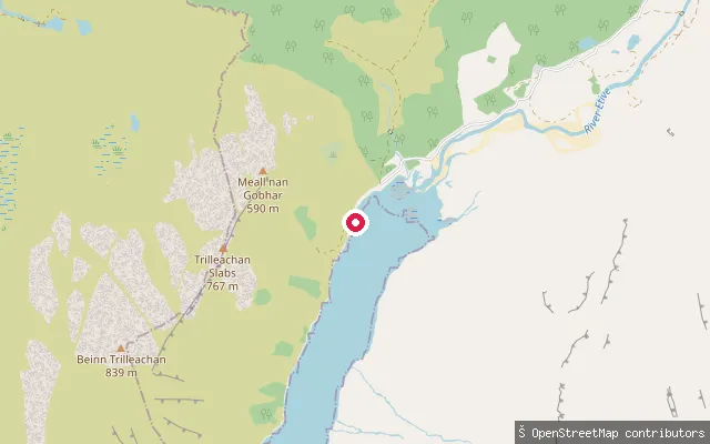
SeaGualachulain put-in
Highland, ScotlandThis slipway sits at Gualachulain, a small settlement on the north shore of Loch Etive near the end of the Glen Etive road. Loch Etive is a sea loch, so the water here is tidal and salt despite lying deep among the hills.
 Sea
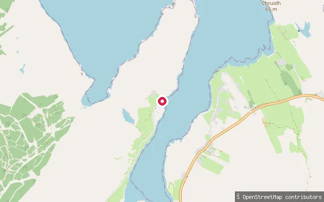
SeaGreshornish put-in
Highland, ScotlandThis slipway is on Loch Greshornish, a narrow sea loch about 3 miles long that opens into the larger Loch Snizort in north-west Skye. A fish farm operates in the loch, and boat trips run from the area out towards Loch Snizort in search of seals, porpoise and sea eagles.
 Sea
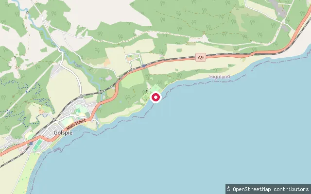
SeaDunrobin beach slipway
Highland, ScotlandThis slipway lies on the beach within the grounds of Dunrobin Castle, near the hamlet of Doll about a mile north of Golspie on the Moray Firth coast of Sutherland. It sits close to the castle's Victorian formal gardens, laid out in the 1850s and oriented to look out over the sea.
 Sea
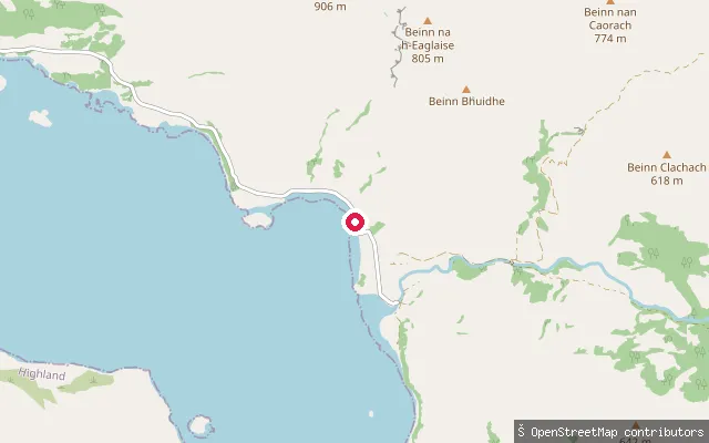
SeaCorran Slipway (Loch Hourn)
Highland, ScotlandA slipway at Corran, a small hamlet on the north shore of Loch Hourn about a kilometre past Arnisdale, where the River Arnisdale meets the loch. Loch Hourn is a narrow, fjord-like sea loch running deep into the mountains toward Knoydart, with strong currents and squally winds noted in its upper reaches.
 Sea
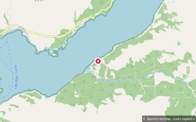
SeaGlencripesdale put-in
Highland, ScotlandGlencripesdale lies on the south shore of Loch Sunart on the Morvern peninsula, reached by turning off the A884 at Liddesdale and driving to the end of the public road. The former national nature reserve here, now run by RSPB Scotland, borders the loch and beyond the car park is reached only on foot.
 Sea
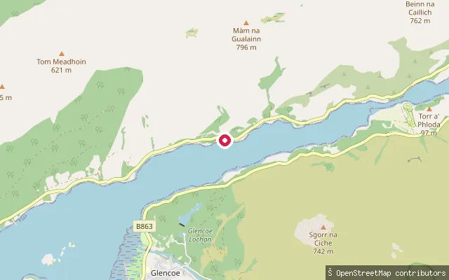
SeaGlencoe put-in
Highland, ScotlandThis slipway launches onto Loch Leven close to Glencoe village, on the loch's north shore between Kinlochleven and the Ballachulish narrows.
 Sea
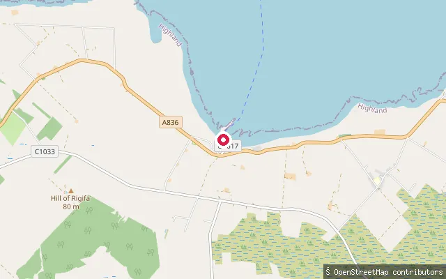
SeaGills put-in
Highland, ScotlandGills Bay is on Caithness's north coast about three miles west of John o' Groats, on a low-lying rocky shore of the Pentland Firth. Its small harbour and pier serve as the Pentland Ferries mainland terminal to St Margaret's Hope in Orkney, and the bay sees strong tidal currents and, in the right conditions, is used for surfing.
 Sea
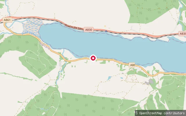
SeaGarvan put-in (Loch Eil)
Highland, ScotlandThis slipway is on the Loch Eil shore near Garvan and Duisky, one of a string of small crofting settlements along the loch's south side on the A861 west of Fort William.
 River
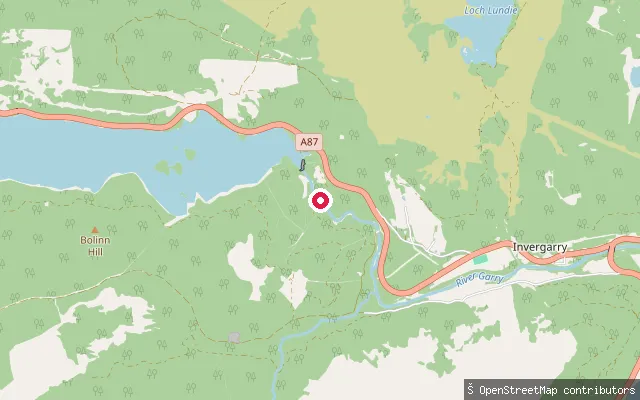
RiverRiver Garry put-in (lower), Faichem
Highland, ScotlandA second put-in on the River Garry at Faichem, roughly 170 metres downstream of the nearby 'upper' put-in, on the same dam-released whitewater stretch running down toward Invergarry.
 River
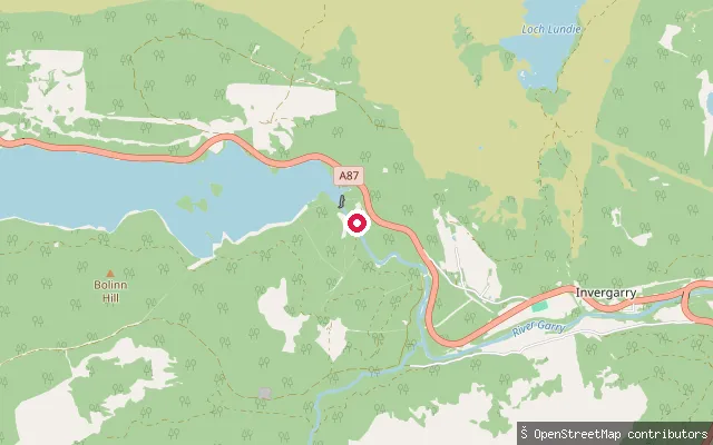
RiverRiver Garry put-in (upper), Faichem
Highland, ScotlandOne of two closely spaced put-in points mapped on the River Garry near Faichem, just downstream of the Invergarry dam. The stretch is used for the Garry's dam-released Grade 3 to 4 whitewater run down to Invergarry.
 Sea
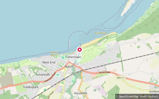
SeaFishertown put-in (Nairn)
Highland, ScotlandA slipway in Fishertown, the old fishing quarter of Nairn on the Moray Firth, close to where the River Nairn meets the firth. Nairn's beaches lie either side of the harbour, sand to the east and rockier ground to the west.
 Sea
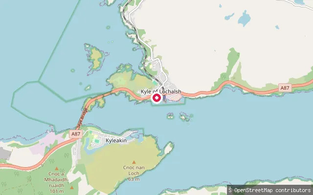
SeaErbusaig Ferry Slipway
Highland, ScotlandThis concrete slipway lies on Erbusaig Bay, part of Loch Alsh near Kyle of Lochalsh, close to the hamlets of Erbusaig and Badicaul. Historic Environment Scotland records a nineteenth-century ferry slipway on this site, part of an older crossing towards Skye that predated the vehicle-ferry terminal at Kyle of Lochalsh which itself ran until the Skye Bridge opened in 1995.
 Sea
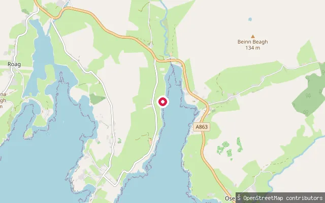
SeaFeorlig put-in
Highland, ScotlandThis put-in is at Upper Feorlig, near Ose on the shore of Loch Caroy, an inner arm of Loch Bracadale on Skye's west coast. Loch Bracadale itself is a wide sea loch that opens to the Atlantic between the Duirinish and Minginish peninsulas.
 River
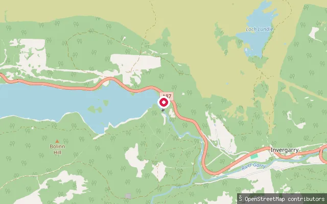
RiverRiver Garry slipway, Faichem
Highland, ScotlandA slipway on the River Garry at Faichem, on the A87 a short distance below the Invergarry dam. The Garry is a dam-controlled river with Grade 3 to 4 rapids, kept reliably paddleable by scheduled hydro releases roughly between March and October, several days a week.
 River
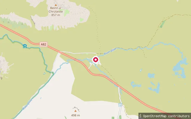
RiverEtive (Upper)
Highland, ScotlandThe Etive (Upper) put-in is at the confluence with the River Coupall, near the Kingshouse Hotel on the A82, and starts a rocky grade 2 to 3 run of about five kilometres down to Triple Falls. The section includes one grade V rapid usually portaged, and needs a high water level to be paddleable.
 River
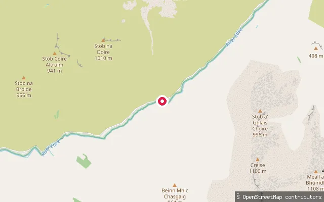
RiverEtive (Middle)
Highland, ScotlandThe Etive (Middle) put-in is at Triple Falls, the first falls visible from the Glen Etive road, and starts a run of about three miles down to the confluence with the Allt a' Chaorainn. The section holds paddleable flow in nearly all conditions and includes named rapids such as Letterbox and the sixteen-foot Right Angle Falls.
Save your own spots
Keep the places you launch, check the wind and shelter before you go, and log every paddle. Add a spot to the directory too, and other paddlers will find it. Free to start.
Some launch spots in this directory are seeded from open data. © OpenStreetMap contributors · Open Database Licence (ODbL) · Machine-readable copy