Paddleboarding spots in Highland
177 launch spots across Highland
Every mapped spot in Highland
Zoom in to split a cluster; open a pin for the spotMap of every spot in Highland
The interactive map opens on any device with JavaScript. The full list of launch spots is below.
Launch spots
Showing 24 of 177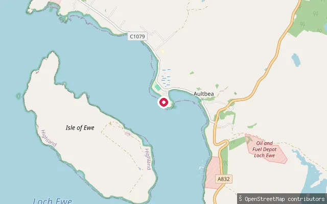 Sea
SeaBualnaluib put-in (Aultbea)
Highland, ScotlandBualnaluib is a crofting hamlet on Loch Ewe's north-east shore, part of the same scattered township as Aultbea and Drumchork. The put-in is a slipway reachable by car, giving access to open water on the loch.
 Sea
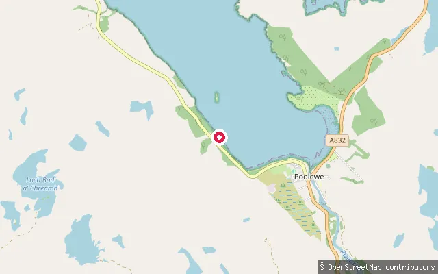
SeaBoor put-in (Poolewe)
Highland, ScotlandBoor is a small crofting settlement on the western shore of Loch Ewe, a short distance south of Poolewe. The put-in here is a slipway reachable by car. Poolewe itself has a further beach put-in with roadside parking, and Ewe Canoe operates guided trips on this stretch of the loch.
 Sea
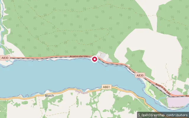
SeaBlaich put-in (Loch Eil)
Highland, ScotlandThis slipway is on the Loch Eil shoreline near Fassfern and Blaich, a small crofting village on the loch's south side about 6 miles west of Fort William on the A861.
 River
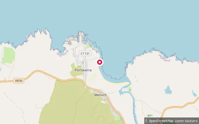
RiverBighouse put-in (Melvich)
Highland, ScotlandA slipway on the east bank of the River Halladale at Bighouse, on the estate peninsula about half a mile east of Melvich, close to where the river meets Melvich Bay. This OSM way sits a few metres from node/9377480645 and appears to record the same slipway rather than a separate launch point. The Halladale is primarily known as a salmon river running through Strath Halladale to the north coast.
 Sea
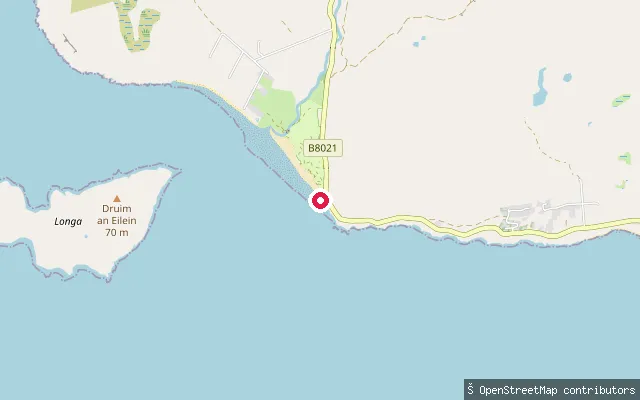
SeaBig Sand put-in
Highland, ScotlandBig Sand is a beach on the north shore of Loch Gairloch, a sea loch in Wester Ross, reached by a slipway and service track through the Sands Caravan and Camping site. The wide sand and shingle beach is used for paddleboarding, kayaking and windsurfing, and lies within a mile of Longa Island, with views to the Torridon hills and Skye across the loch.
 Sea
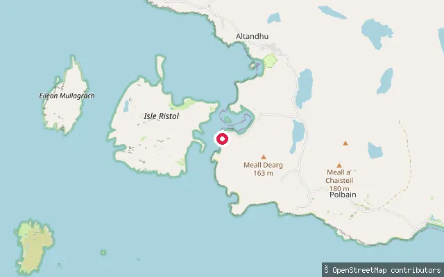
SeaOld Dornie slipway (south)
Highland, ScotlandThis slipway lies a few hundred metres south-west of the main Old Dornie harbour near Polbain, on the same stretch of coast on the Coigach peninsula in Wester Ross.
 Sea
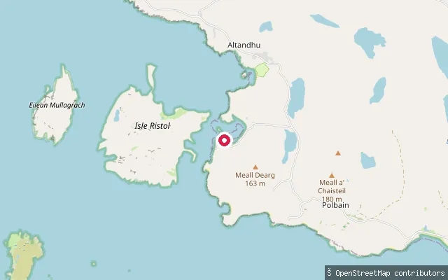
SeaOld Dornie slipway
Highland, ScotlandOld Dornie is a small natural harbour on the Coigach coast near Polbain in Wester Ross, used as a landing for local boats. This slipway has vehicle access from the coast road and opens onto the open sea close to the Summer Isles.
 Sea
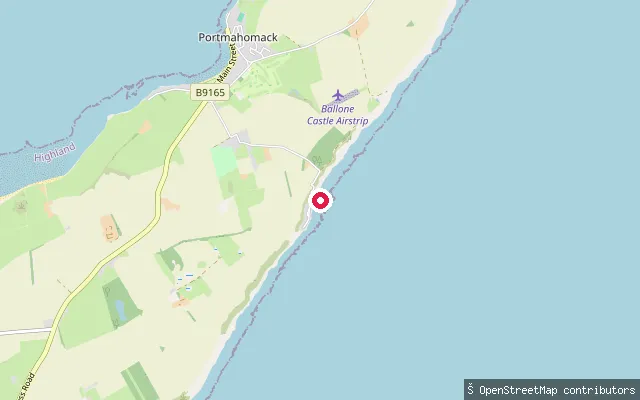
SeaBankhead put-in (Portmahomack)
Highland, ScotlandA slipway on the Moray Firth shore at Bankhead, within the hamlet of Rockfield just north of Portmahomack on the Tarbat peninsula. The coast here forms part of the walking route between Rockfield and Tarbat Ness.
 Sea
SeaBalgy put-in
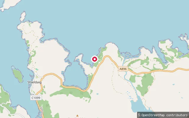
Highland, ScotlandThis is a slipway on the north shore of Loch Torridon by the hamlet of Balgy, on the single-track road roughly midway between Torridon village and Shieldaig. The Falls of Balgy, a short walk up the River Balgy, lie on the same stretch of shore.
 Sea
SeaBalgown put-in (Struan)
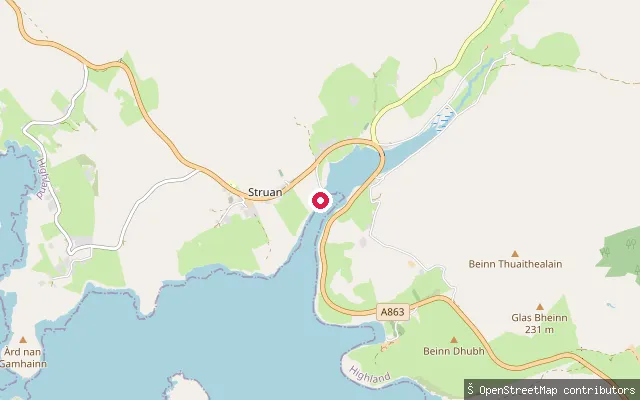
Highland, ScotlandThis slipway sits on Loch Beag, a small sea loch that forms an inlet of Loch Bracadale on Skye's west coast, close to the hamlet of Balgown just east of Struan village. It is a plain service slipway with no other facilities recorded nearby.
 Sea
SeaBalblair put-in (Invergordon)
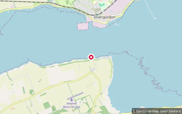
Highland, ScotlandA slipway at Balblair, a small hamlet on the shore of the Cromarty Firth just southwest of Invergordon. The firth is a long, sheltered arm of the Moray Firth that runs about 19 miles inland, guarded at its mouth by the twin headlands known as the Sutors.
 Sea
SeaBadcall put-in
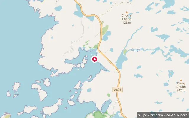
Highland, ScotlandThis is the service track to a slipway on Badcall Bay in Lower Badcall, on the same short stretch of shore as two other mapped launch points a few dozen metres away. It launches beside a fish farm building on this scattered, island-studded stretch of the Sutherland coast.
 Sea
SeaBadachro put-in
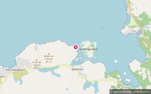
Highland, ScotlandBadachro Bay is a sheltered inlet on the south shore of Loch Gairloch in Wester Ross, screened by Eilean Horrisdale (Isle Horrisdale), with the village of Badachro on its shore. The slipway gives access to calm water suited to short paddles around the island via the Narrows, with longer routes across the loch to Gairloch pier for more experienced paddlers.
 Sea
SeaArdroag put-in
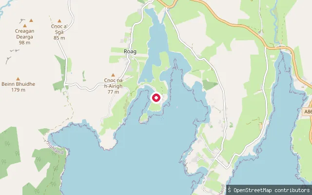
Highland, ScotlandThis put-in serves Ardroag, a settlement on a small peninsula attached to Roag on Skye's Duirinish coast. It overlooks Pool Roag, an intertidal inlet connected to Loch Bracadale, known for wading birds such as shelduck, knot and greenshank.
 Sea
SeaArdmair put-in
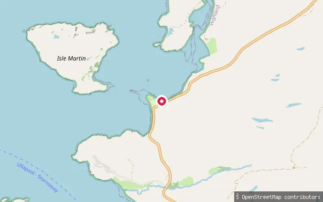
Highland, ScotlandArdmair sits on Loch Kanaird, a sheltered sea loch about 5km north of Ullapool on the A835, with Isle Martin lying just offshore. A slipway at Ardmair Point gives boat access to the bay, and the adjoining shingle beach is used by local operators as a put-in for trips towards Isle Martin and on to Ullapool.
 Sea
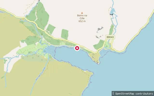
SeaArdgour put-in
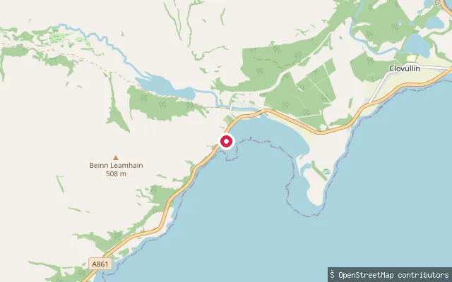
Highland, ScotlandThis slipway is on the Ardgour shore of Loch Linnhe close to the Corran Narrows, where the Corran Ferry crosses to Nether Lochaber near Fort William. The Ardgour Inn and Corran Lighthouse both stand close to the crossing.
 Sea
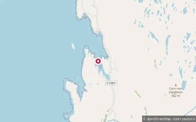
SeaArdgour put-in
Highland, ScotlandThis concrete slipway sits on Loch a' Choire, a sheltered arm of Loch Linnhe within the Ardgour district of Morvern, close to the hamlet of Kingairloch.
 Sea
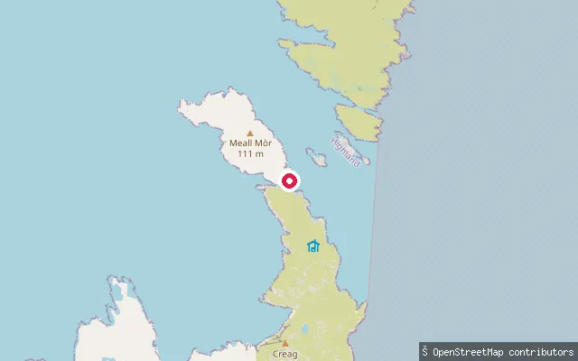
SeaArd Dhubh put-in
Highland, ScotlandA car-accessible slipway at Ard Dhubh, a small crofting hamlet on the west coast of the Applecross peninsula in Wester Ross. It launches onto the Inner Sound, the strait separating Applecross from Raasay, Rona and Skye, an area used for guided sea kayaking out of Lochcarron.
 Sea
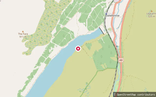
SeaKyle Rona slipway
Highland, ScotlandThis slipway looks onto Kyle Rona (An Caol Rònach), the narrow strait between Raasay and the small, privately owned island of Rona, reached only by private boat charter from Portree. OpenStreetMap records only the leisure=slipway tag, with no further detail.
 Loch
LochAn Tochailt put-in (Dalwhinnie)
Highland, ScotlandAn Tochailt is a point on the northern shore of Loch Ericht, a long freshwater loch running south-west from Dalwhinnie towards Ben Alder. Paddlers use the loch as a route in for canoe trips to climb Ben Alder, though it has a reputation for catching the wind.
 Sea
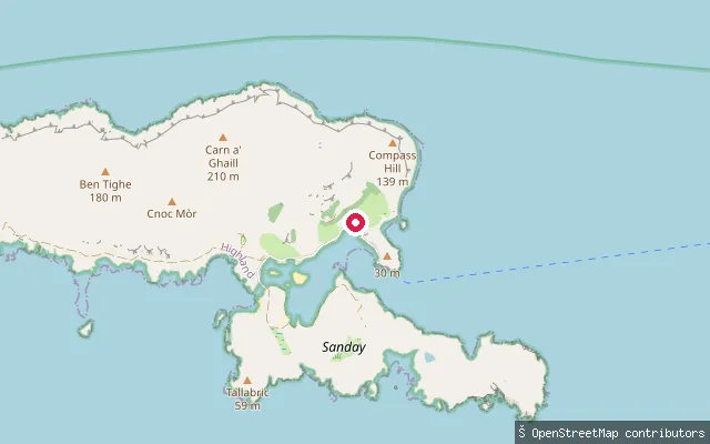
SeaAn Coroghan put-in (Canna)
Highland, ScotlandAn Coroghan is the black-sand bay below the ruined Coroghan Castle at the eastern end of the Isle of Canna, overlooking the sheltered natural harbour formed between Canna and Sanday. The National Trust for Scotland manages Canna Harbour a short distance to the west, with a slipway at the pier and a protected seagrass meadow off Coroghan Beach.
 Sea
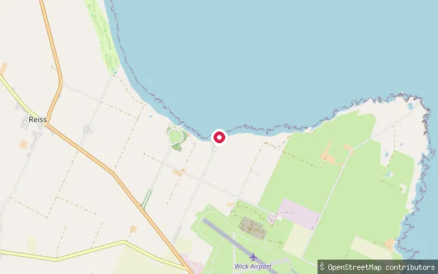
SeaAckergill Harbour slipway
Highland, ScotlandAckergill Harbour sits on the southern shore of Sinclair's Bay, just north of Wick. Its 1910 ferro-concrete slipway was the first of its kind built in Britain, made for the RNLI lifeboat that launched from here between 1879 and 1932. The Caithness Kayak Club now runs sea sessions from the harbour on summer evenings.
 Sea
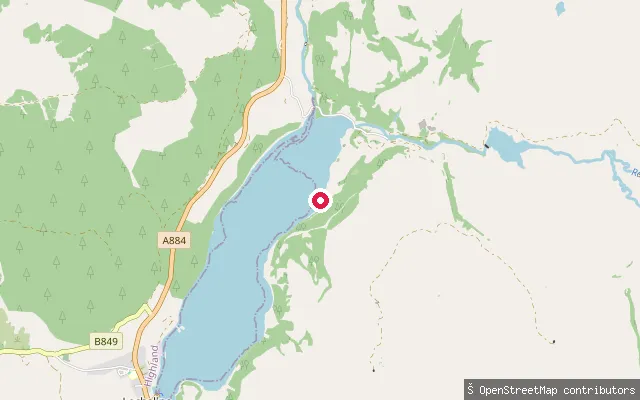
SeaAchranich put-in
Highland, ScotlandAchranich is a small hamlet on the Ardtornish Estate in Morvern, on the eastern shore near the head of Loch Aline, a sea loch that opens into the Sound of Mull at Lochaline. The put-in is a slipway reached by a short estate track, close to a tidal side-channel at the loch's upper end. Much of the surrounding shoreline is private estate land, so paddlers are generally expected to seek permission before launching.
 Loch
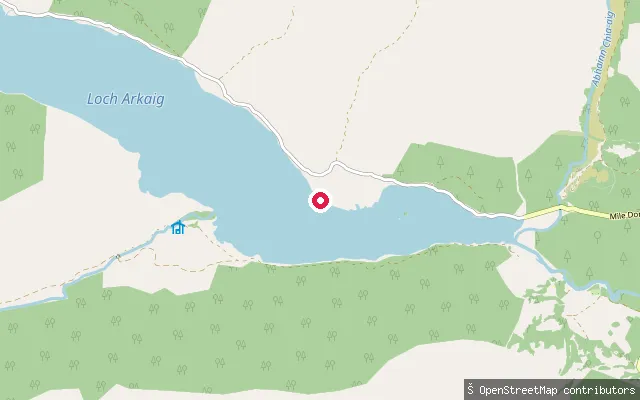
LochAchnasaul put-in
Highland, ScotlandAchnasaul is a small settlement on the shore of Loch Arkaig, a long natural loch running west from near Spean Bridge with no hydro-electric dam. Near the loch's eastern end there is a fishermen's parking area with a boat launching ramp, though the road further along the north shore narrows to a twisting single track.
Save your own spots
Keep the places you launch, check the wind and shelter before you go, and log every paddle. Add a spot to the directory too, and other paddlers will find it. Free to start.
Some launch spots in this directory are seeded from open data. © OpenStreetMap contributors · Open Database Licence (ODbL) · Machine-readable copy