Paddleboarding spots in Highland
177 launch spots across Highland
Every mapped spot in Highland
Zoom in to split a cluster; open a pin for the spotMap of every spot in Highland
The interactive map opens on any device with JavaScript. The full list of launch spots is below.
Launch spots
Showing 9 of 177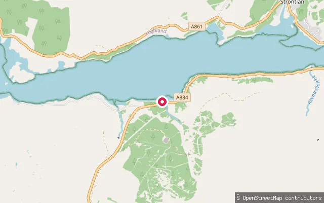 Sea
SeaAchleek put-in
Highland, ScotlandAchleek is a small settlement on the south shore of Loch Sunart, the longest sea loch in the Highlands, on the Laudale Estate a few miles from Strontian. The put-in is an unmarked slipway off the A884 shore road, near an old, derelict jetty noted by a passing coastal walker.
 Sea
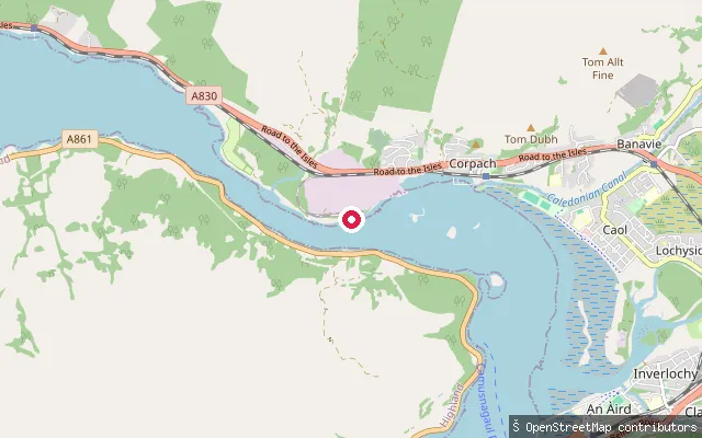
SeaAchaphubuil slipway, south-west (Loch Eil)
Highland, ScotlandThis slipway is on the Loch Eil shore south-west of Corpach, reached by a short service road off the A861. It lies within the same tidal stretch where Loch Eil narrows into Loch Linnhe as the other Achaphubuil launch points.
 Sea
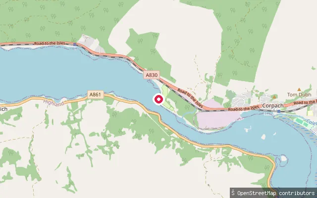
SeaAchaphubuil slipway (A861, Loch Eil)
Highland, ScotlandThis slipway is on the Loch Eil shore at the hamlet of Achaphubuil, off the A861 between Corpach and Blaich in Ardgour. It is one of several small launch points along the loch's south shore.
 Sea
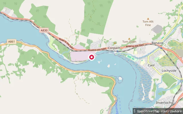
SeaAchaphubuil slipway, north (Loch Eil)
Highland, ScotlandThis second slipway lies around 90 metres from another mapped launch point on the same stretch of Loch Eil shore near Achaphubuil, close to the tidal Annat Narrows into Loch Linnhe.
 Sea
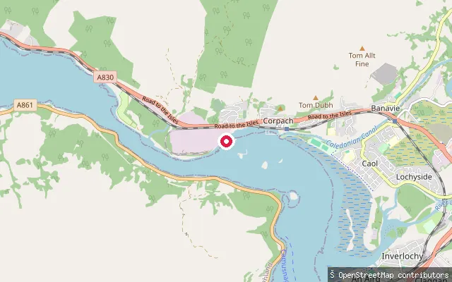
SeaAchaphubuil slipway (Loch Eil)
Highland, ScotlandThis slipway sits on the south shore of Loch Eil near Achaphubuil, close to the Annat Narrows where Loch Eil meets Loch Linnhe on a strong tidal stream. Corpach village and its Caledonian Canal basin lie about a mile to the north-east.
 Sea
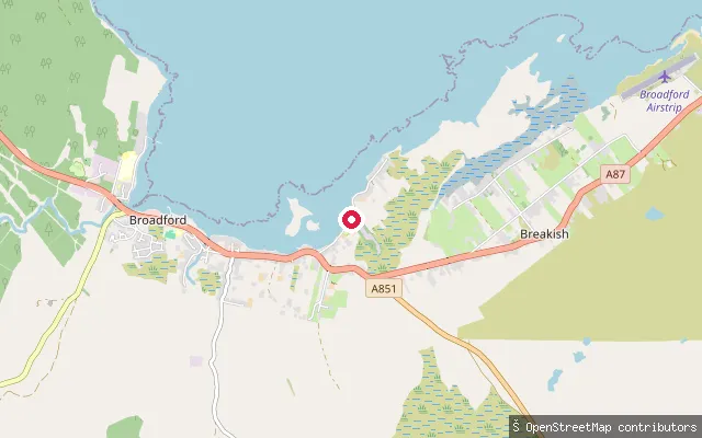
SeaAchadh a' Chùirn put-in (Breakish)
Highland, ScotlandA concrete slipway on the shore of Ob Breakish, a small inlet on Skye's east coast at the Achadh a' Chùirn end of Lower Breakish, a couple of miles east of Broadford.
 Sea
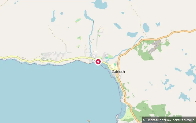
SeaStrath slipway, Gairloch
Highland, ScotlandThis slipway sits on the shore of Loch Gairloch at Strath, one of the linked settlements that make up Gairloch village in Wester Ross. It is a short service road down to the water, separate from the harbour slipway further along the shore at Charlestown.
 Sea
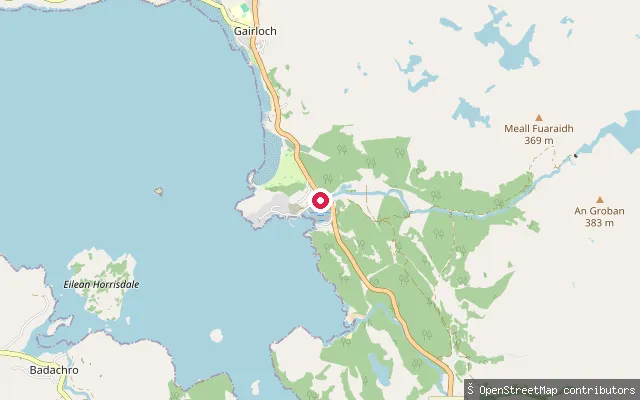
SeaGairloch harbour slipway, Charlestown
Highland, ScotlandThis slipway is at Gairloch harbour in Charlestown, the southernmost of the linked settlements that make up Gairloch on Loch Gairloch's shore in Wester Ross. The harbour is still a working fishing harbour landing crabs, lobsters and prawns, and the slipway also serves sea kayakers and paddleboarders launching onto the loch.
 Sea
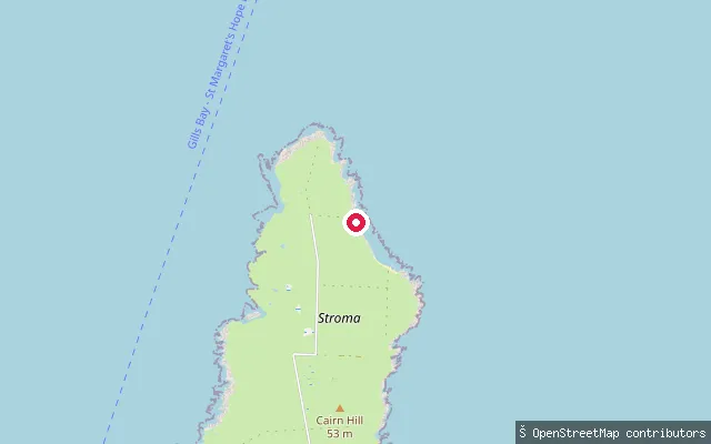
SeaStroma slipway (Nethertown)
Highland, ScotlandThis slipway sits at the north end of Stroma, an island in the Pentland Firth off Gills Bay that has been uninhabited since the 1960s. A pier and slipway were built here in 1894, the island's first landing place; a boat still uses it seasonally, carrying day visitors and sheep-workers over from Gills Bay in summer.
Save your own spots
Keep the places you launch, check the wind and shelter before you go, and log every paddle. Add a spot to the directory too, and other paddlers will find it. Free to start.
Some launch spots in this directory are seeded from open data. © OpenStreetMap contributors · Open Database Licence (ODbL) · Machine-readable copy