Paddleboarding spots in Na h-Eileanan Siar
100 launch spots across Na h-Eileanan Siar
Every mapped spot in Na h-Eileanan Siar
Zoom in to split a cluster; open a pin for the spotMap of every spot in Na h-Eileanan Siar
The interactive map opens on any device with JavaScript. The full list of launch spots is below.
Launch spots
Showing 4 of 100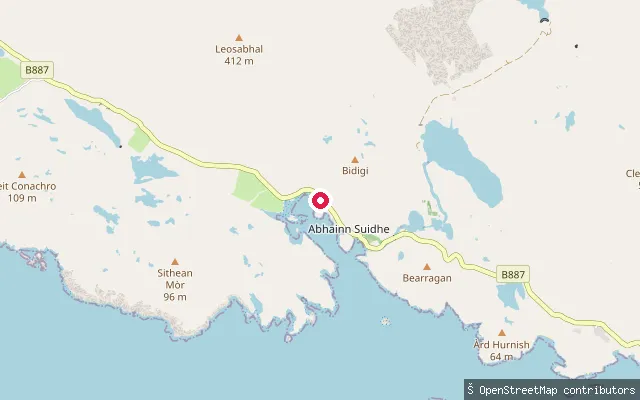 Sea
SeaAmhuinnsuidhe Castle slipway
Na h-Eileanan Siar, ScotlandA concrete slipway below Amhuinnsuidhe Castle on the north shore of West Loch Tarbert, a sea loch on North Harris. The Victorian castle and its surrounding sporting estate, long run for salmon fishing and deer stalking, passed into community ownership under the North Harris Trust in 2003.
 Sea
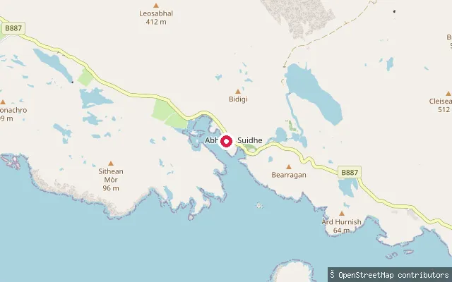
SeaGòbhaig slipway, West Loch Tarbert
Na h-Eileanan Siar, ScotlandA slipway on the West Loch Tarbert shore near the hamlet of Gòbhaig, a short distance from Amhuinnsuidhe Castle on North Harris, reached off the B887.
 Sea
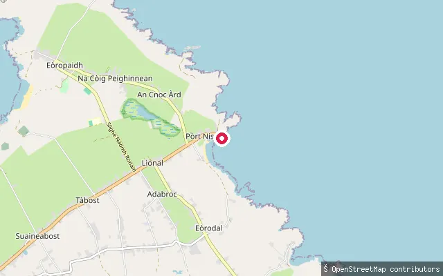
SeaPort of Ness slipway
Na h-Eileanan Siar, ScotlandA slipway in the harbour at Port of Ness (Port Nis), on the north-east tip of the Isle of Lewis, launching onto the North Minch. The harbour was built in the early 19th century, enlarged in 1893, and given a breakwater the following year. The OSM way carries a seamark note that launch here is by car.
 Sea
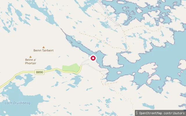
SeaLoch Sgiopoirt put-in
Na h-Eileanan Siar, ScotlandThis concrete slipway sits on Loch Skiport (Loch Sgiopoirt), a sea loch on the isolated north-east coast of South Uist, close to the near-abandoned hamlet of Lochskipport at its head. A ruined pier that once served as a ferry stop stands nearby, and Ornish Island marks the loch's entrance.
Save your own spots
Keep the places you launch, check the wind and shelter before you go, and log every paddle. Add a spot to the directory too, and other paddlers will find it. Free to start.
Some launch spots in this directory are seeded from open data. © OpenStreetMap contributors · Open Database Licence (ODbL) · Machine-readable copy