Paddleboarding spots in North Lanarkshire
2 launch spots across North Lanarkshire
Every mapped spot in North Lanarkshire
Zoom in to split a cluster; open a pin for the spotMap of every spot in North Lanarkshire
The interactive map opens on any device with JavaScript. The full list of launch spots is below.
Launch spots
Showing 2 of 2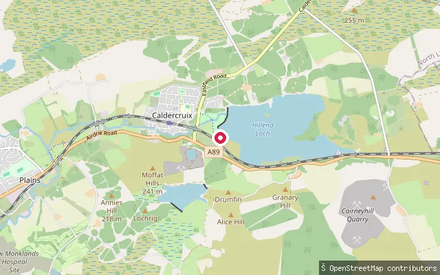 Loch
LochHillend slipway, Hillend Loch
North Lanarkshire, ScotlandA slipway on the western shore of Hillend Loch, a reservoir near Caldercruix in North Lanarkshire, reached from the A89. The loch was created in 1797 when the North Calder Water was dammed to feed the Monkland Canal, and Scottish Canals owns it today. A circular path rings the shore, and Monklands Sailing Club keeps its dinghy fleet here alongside permit fishing.
 Loch
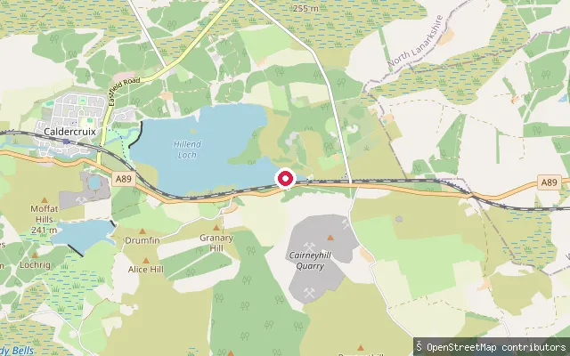
LochForrestfield slipway, Hillend Loch
North Lanarkshire, ScotlandA slipway on the eastern shore of Hillend Loch, a reservoir east of Caldercruix in North Lanarkshire, close to the hamlet of Forrestfield on the A89. The loch was formed between 1797 and 1799 by damming the North Calder Water to feed the Monkland Canal and is now owned by Scottish Canals. Monklands Sailing Club operates on the loch and a fishing club holds permit-based rights, so a launch here shares the water with dinghy racing and anglers.
Save your own spots
Keep the places you launch, check the wind and shelter before you go, and log every paddle. Add a spot to the directory too, and other paddlers will find it. Free to start.
Some launch spots in this directory are seeded from open data. © OpenStreetMap contributors · Open Database Licence (ODbL) · Machine-readable copy