Paddleboarding spots in Merseyside
29 launch spots across Merseyside
Every mapped spot in Merseyside
Zoom in to split a cluster; open a pin for the spotMap of every spot in Merseyside
The interactive map opens on any device with JavaScript. The full list of launch spots is below.
Launch spots
Showing 5 of 29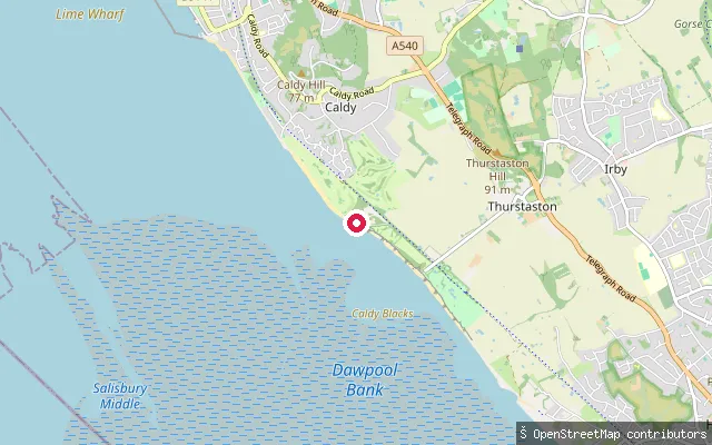 Sea
SeaCaldy put-in
Merseyside, EnglandAn asphalt slipway onto the Dee Estuary shore at Caldy, a short distance along the coast from Caldy's other shore accesses. The estuary here is tidal and largely sand and mud at low water, forming part of a Site of Special Scientific Interest and Special Protection Area for wintering waders.
 Sea
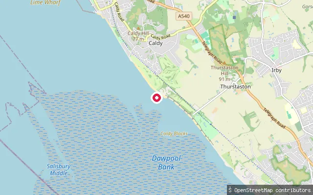
SeaCaldy put-in
Merseyside, EnglandA short asphalt slipway track running down to the Dee Estuary shore at Caldy on the Wirral peninsula. The estuary dries to sand and mud off this shore, and the site carries the same Site of Special Scientific Interest and Special Protection Area designation as the rest of the Dee Estuary for its bird populations.
 Sea
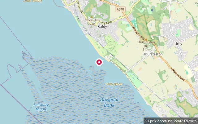
SeaCaldy put-in
Merseyside, EnglandThis slipway sits on the Dee Estuary shore below Caldy on the Wirral peninsula, looking across the water to the Welsh coast. The shore here dries to sand and mud at low water, so launching is generally only practical within about two hours either side of high tide. The estuary is a Site of Special Scientific Interest and Special Protection Area for its wintering wading birds.
 Sea
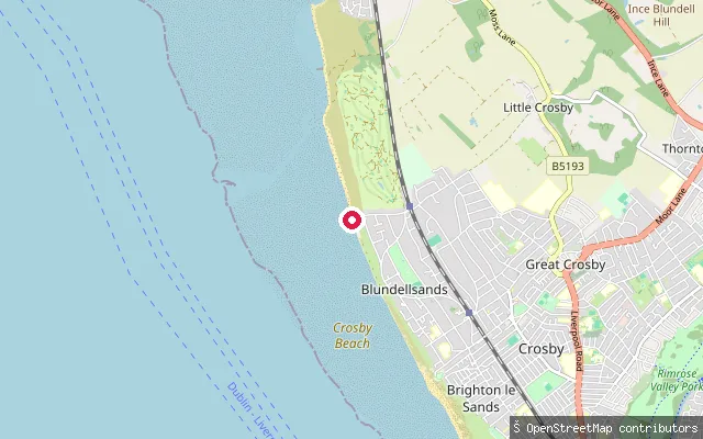
SeaBlundellsands put-in (Crosby)
Merseyside, EnglandThis unlit slipway is on Burbo Bank Road North at Blundellsands, the northern end of Crosby Beach where the shore opens onto Liverpool Bay. The beach carries a significant tidal reach, and Sefton Council's water safety guidance advises staying within 50 metres of the promenade because of shifting mud and a fast tide.
 Canal
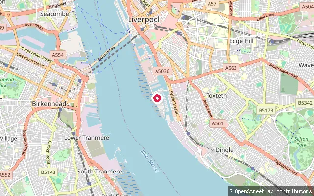
CanalCoburg Dock slipway (Liverpool Canoe Club)
Merseyside, EnglandThis slipway is Liverpool Canoe Club's compound at Coburg Wharf on Coburg Dock, on the edge of the Baltic Triangle. OpenStreetMap tags it access=no; the club states paddlers cannot use the docks except in a recognised group under a Canal and River Trust or harbour master licence, and the compound has waterside changing rooms.
Save your own spots
Keep the places you launch, check the wind and shelter before you go, and log every paddle. Add a spot to the directory too, and other paddlers will find it. Free to start.
Some launch spots in this directory are seeded from open data. © OpenStreetMap contributors · Open Database Licence (ODbL)