Paddleboarding spots in Hampshire
74 launch spots across Hampshire
This weekend’s calmest picks in Hampshire
See the ranked launch spots for the best conditions this weekend
Many inland waterways need a licence to paddle. Check with Paddle UK before you go.
Every mapped spot in Hampshire
Zoom in to split a cluster; open a pin for the spotMap of every spot in Hampshire
The interactive map opens on any device with JavaScript. The full list of launch spots is below.
Launch spots
Showing 24 of 74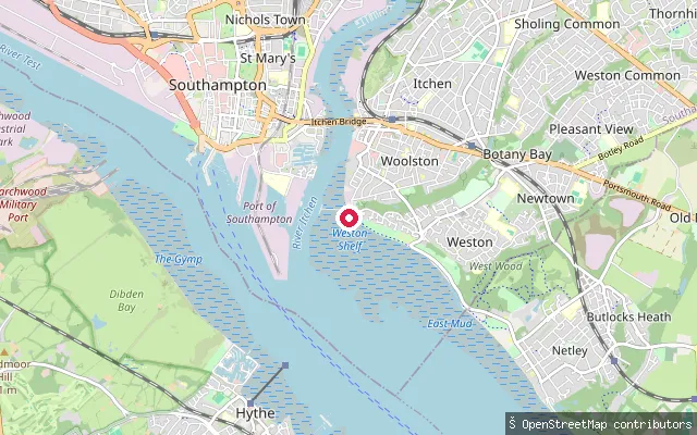 Sea
SeaWaterside Park put-in (Southampton)
Hampshire, EnglandA slipway on Southampton Water at Waterside Park in Woolston, Southampton, close to Southampton Sailing Club on Victoria Road.
 Sea
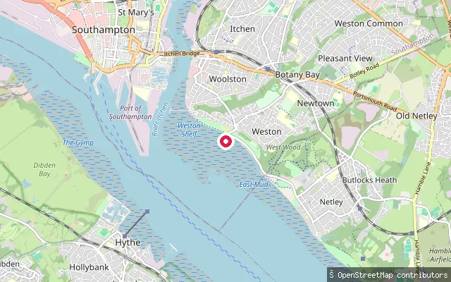
SeaWaterside Park put-in (Southampton)
Hampshire, EnglandThe slipway is Southampton City Council's launch point on Weston Shore, on the eastern side of Southampton Water in Weston. Directly across the estuary's shipping channel lie Dibden and Hythe, with the Fawley oil refinery further along; three kilometres south along the same shore stands Royal Victoria Country Park and its former military hospital chapel tower.
 Sea
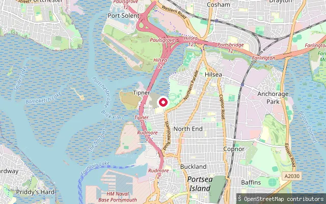
SeaTipner put-in (Portsmouth)
Hampshire, EnglandA permissive-access slipway on Tipner Lake, a tidal inlet of Portsmouth Harbour on the north-west corner of Portsea Island. The lake is a designated wildlife site with extensive mudflats, so much of the foreshore is exposed at low tide.
 Sea
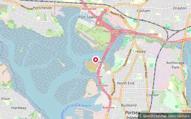
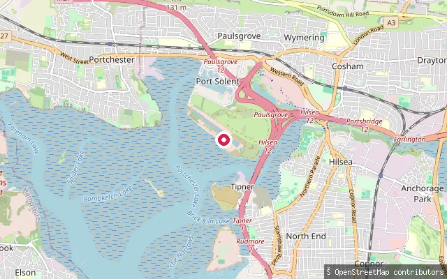
SeaTipner put-in (Portsmouth)
Hampshire, EnglandA slipway on Tipner Lake, the tidal inlet of Portsmouth Harbour that bounds Tipner to the north-west. It sits about 70 metres from another mapped slipway (way/147046234) on the same short stretch of foreshore.
 Sea
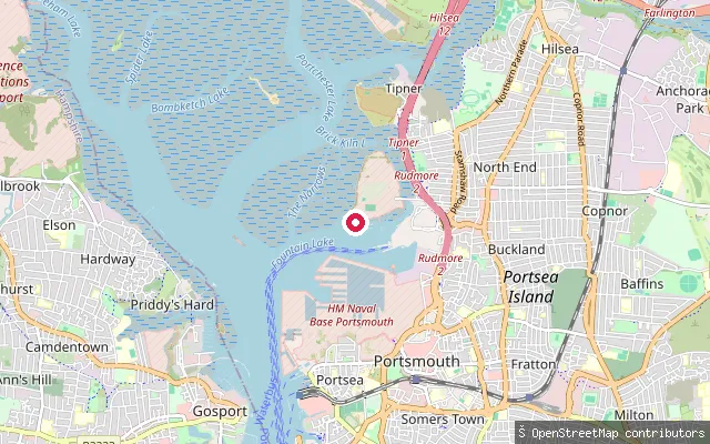
SeaTipner put-in (Portsmouth)
Hampshire, EnglandA slipway on Tipner Lake, the tidal inlet of Portsmouth Harbour on the north-west shore of Portsea Island, further along the same foreshore as the other mapped Tipner slips.
 Sea
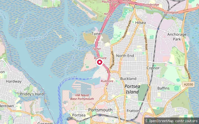
SeaStamshaw put-in (Portsmouth)
Hampshire, EnglandA slipway on the Portsmouth Harbour foreshore at Stamshaw, on the north-west corner of Portsea Island near Portsmouth International Port.
 Sea
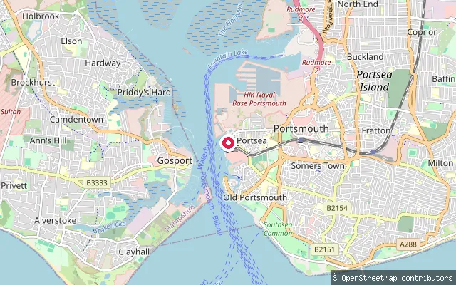
SeaStamshaw put-in (Portsmouth)
Hampshire, EnglandA slipway on the Portsmouth Harbour foreshore at Stamshaw, a residential district on the north-west corner of Portsea Island. The mapped shoreline here is tagged as beach and mud, indicating a tidal, part-exposed launch.
 Sea
SeaPortsea put-in (Portsmouth)
Hampshire, EnglandThis slipway is at Portsea, on the west shore of Portsmouth Harbour close to the naval base. OpenStreetMap maps the surrounding ground as Common Hard rather than naming the water itself. Craft here fall within the King's Harbour Master's Dockyard Port, which sets a 50-metre clearance from Royal Navy vessels and a 10-knot speed limit.
 Sea
SeaPort Solent put-in (Portsmouth)
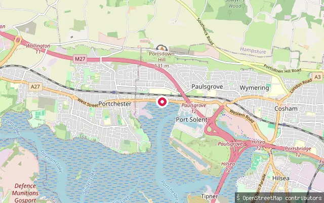
Hampshire, EnglandA tidal foreshore slipway on the public coastal path between Port Solent Marina and Portchester, launching onto Portchester Lake (locally known as Paulsgrove Lake), the north-eastern arm of Portsmouth Harbour. It sits on open shoreline outside the marina's own locked basin, at the edge of the reclaimed land that became Port Solent when the marina opened in 1988.
 Sea
SeaPort Solent put-in (Portsmouth)
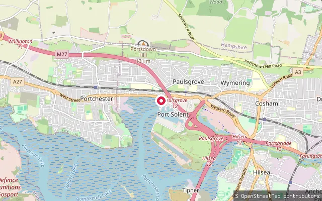
Hampshire, EnglandA slipway on the Portsmouth Harbour shoreline near Port Solent, close to Paulsgrove Lake, the tidal channel south of Paulsgrove partly reclaimed in the 1970s for the Port Solent marina and housing development.
 Sea
SeaPort Solent put-in (Portsmouth)
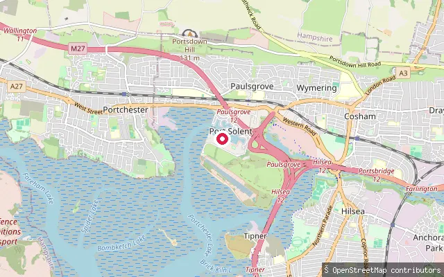
Hampshire, EnglandA slipway on the harbourside coastal path between Port Solent and Portchester, launching onto Portchester Lake, known locally as Paulsgrove Lake, the tidal channel forming the north-eastern arm of Portsmouth Harbour, a large natural harbour and ria between Portsmouth and Gosport.
 Sea
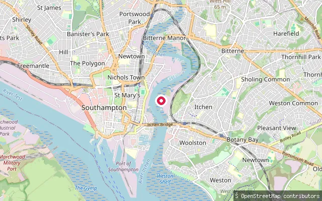
SeaOld Town put-in (Southampton)
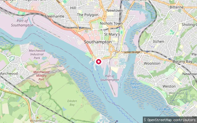
Hampshire, EnglandThis slipway is part of Town Quay in Southampton's Old Town, at the point where the River Test opens into Southampton Water. Town Quay is also the Southampton terminus of the Hythe Ferry, which crosses Southampton Water to the New Forest shore.
 River
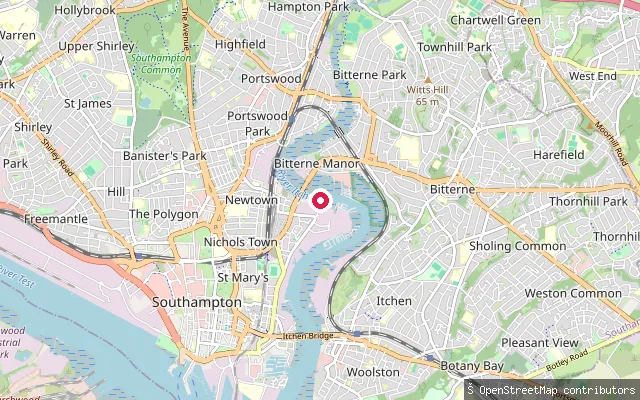
RiverMillbank put-in (Southampton)
Hampshire, EnglandThis slipway is on the River Itchen at Northam, below the Millbank Tower that has dominated this stretch of the Southampton skyline since it opened in 1960. The tidal Itchen runs past a mixed industrial and residential waterfront on this western bank.
 River
RiverMillbank put-in (Southampton)
Hampshire, EnglandThis slipway sits on the tidal River Itchen upstream of Northam Bridge, on the approach to Cobden Bridge between Bitterne Park and St Denys. The Itchen remains tidal along this reach until it meets fresh water further upstream at Woodmill.
 Sea
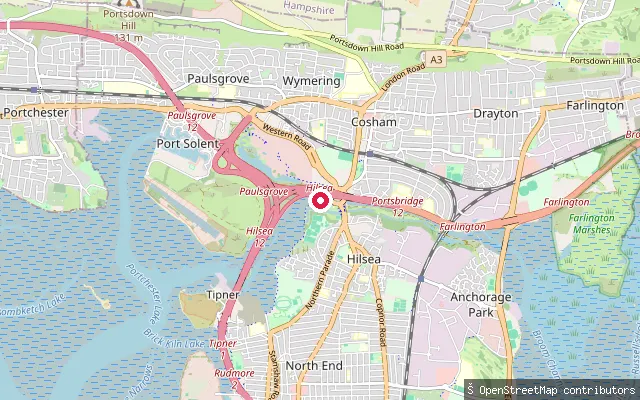
SeaHilsea put-in (Portsmouth)
Hampshire, EnglandA concrete slipway on Portsbridge Creek (also known as Ports Creek), the tidal channel running along the north end of Portsea Island between Langstone Harbour and Tipner Lake. The put-in sits close to the Hilsea roundabout, where a coastal path and cycleway now runs alongside the water.
 Sea
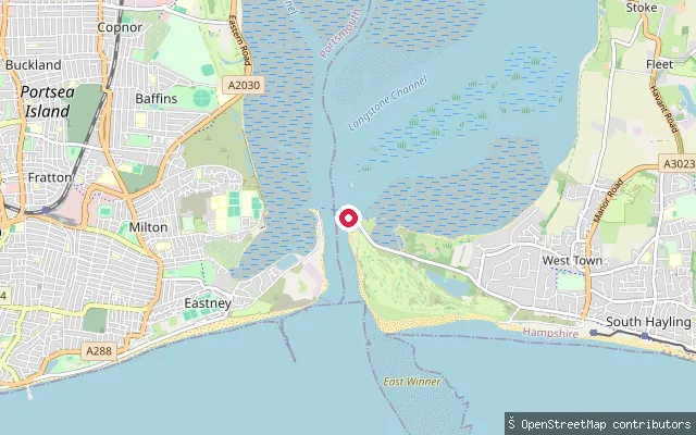
SeaWest Town put-in (Havant)
Hampshire, EnglandThis slipway is at Ferry Point on the west side of Hayling Island, where the passenger ferry lands after crossing from Eastney, Portsmouth. Langstone Harbour lies to the west of the island here, with Chichester Harbour on the island's eastern side. Langstone Harbour Board requires a permit and harbour dues for all craft using the harbour, including paddlers.
 River
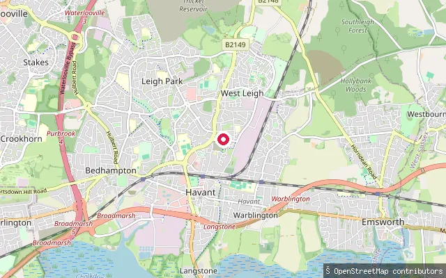
RiverWest Leigh put-in (Havant)
Hampshire, EnglandThis slipway is beside the Lavant Stream where it passes through the West Leigh area of Havant. The Lavant Stream is a small chalk stream that runs largely culverted through central Havant before reaching Langstone Harbour.
 Sea
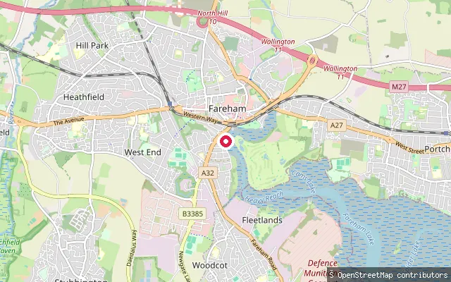
SeaWest End put-in (Fareham)
Hampshire, EnglandThis slipway is on Lower Quay at West End, Fareham, at the upper end of Fareham Creek within Portsmouth Harbour. It is a concrete ramp with parking nearby, usable for around a quarter of the tidal range before mudflats take over. The creek is designated a Site of Special Scientific Interest and Ramsar site, and the council states that disturbing it is an offence.
 River
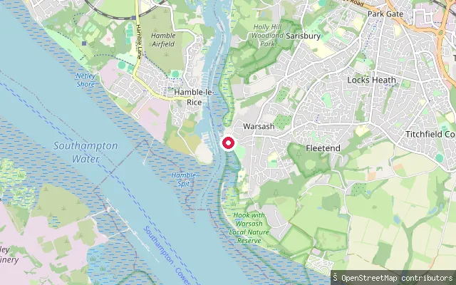
RiverWarsash put-in (Fareham)
Hampshire, EnglandA slipway on the west bank of the River Hamble at Warsash, a village at the river's mouth into Southampton Water. A passenger ferry crosses here to Hamble-le-Rice, and the Solent Way footpath runs along the foreshore.
 River
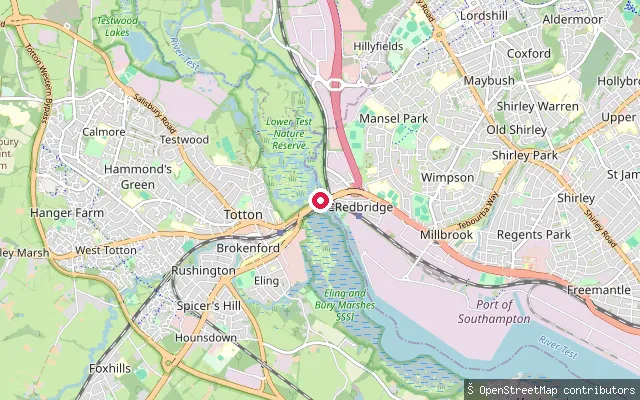
RiverCounty Bridge slipway
Hampshire, EnglandThis slipway lies by County Bridge on the edge of Totton, where the tidal River Test runs through the reed beds of the Lower Test Nature Reserve before reaching Southampton Water. The reserve floods with salt water on the tide and is not accessible at high water, and a nearby canoe route account places the legal limit of navigation on the Test at the road bridges in this area.
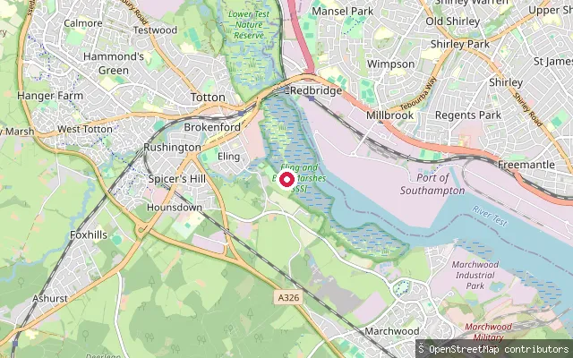 Sea
SeaEling Creek public slipway
Hampshire, EnglandThis pebblestone slipway at Old Eling gives free public access to Eling Creek, the tidal channel at the head of Southampton Water's Test estuary, close to Eling Tide Mill. Eling Sailing Club, based in part of the historic mill building, notes that the creek dries out extensively and recommends timing a launch for a tide of 3.5 metres or more.
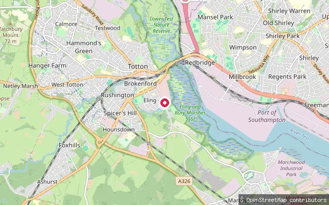 Sea
SeaEling Wharf slipway (Test Way start)
Hampshire, EnglandThis slipway sits at Eling Wharf beside the historic Eling Tide Mill and marks the southern end of the 44-mile Test Way footpath, which follows the River Test up to Walbury Hill in Berkshire. It opens onto Eling Creek, the tidal inlet at the head of Southampton Water's Test estuary.
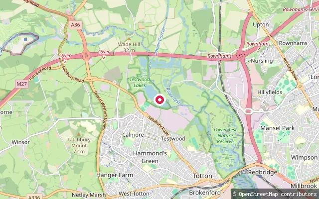 Lake
LakeTestwood Lakes slipway
Hampshire, EnglandThis slipway sits within Testwood Lakes, a Southern Water reservoir complex north of Totton managed as a nature reserve by the Hampshire and Isle of Wight Wildlife Trust. The Trust's current published rules prohibit kayaking, paddleboarding and other boating on the lakes, and warn of possible blue-green algae.
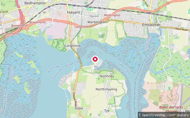 Sea
SeaNorthney Tidal Slipway
Hampshire, EnglandThis tidal slipway lies a short distance north of Northney Marina on Hayling Island's Chichester Harbour shore, giving launch access separate from the marina's berth-holder slip. Like the rest of the harbour, the foreshore here dries to mud and saltmarsh over the tidal cycle.
Save your own spots
Keep the places you launch, check the wind and shelter before you go, and log every paddle. Add a spot to the directory too, and other paddlers will find it. Free to start.
Some launch spots in this directory are seeded from open data. © OpenStreetMap contributors · Open Database Licence (ODbL) · Machine-readable copy