Paddleboarding spots in North Yorkshire
50 launch spots across North Yorkshire
This weekend’s calmest picks in North Yorkshire
See the ranked launch spots for the best conditions this weekend
Many inland waterways need a licence to paddle. Check with Paddle UK before you go.
Every mapped spot in North Yorkshire
Zoom in to split a cluster; open a pin for the spotMap of every spot in North Yorkshire
The interactive map opens on any device with JavaScript. The full list of launch spots is below.
Launch spots
Showing 24 of 50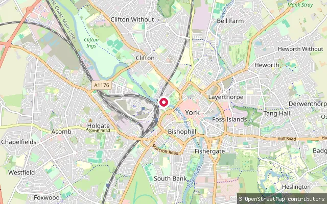 River
RiverMarygate Landing
North Yorkshire, EnglandMarygate Public Landing is a public access point on the River Ouse at the foot of Marygate in central York, near Lendal Bridge. The City of York Council states the landing must remain publicly accessible and that no mooring is permitted there; the Canal and River Trust requires a waterways licence for paddle craft on this reach.
 River
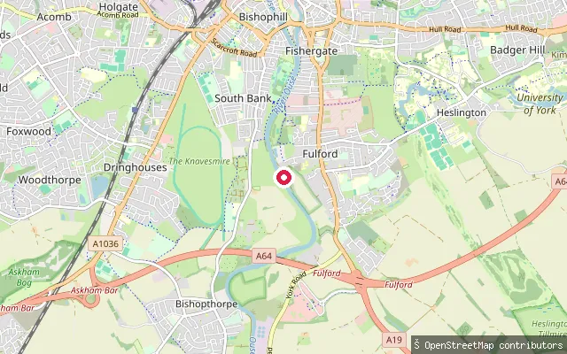
RiverFulford put-in
North Yorkshire, EnglandA launch point on the River Ouse at Fulford, on the east bank just south of York city centre, near the university rowing club moorings and launch ramp off St Oswald's Road.
 River
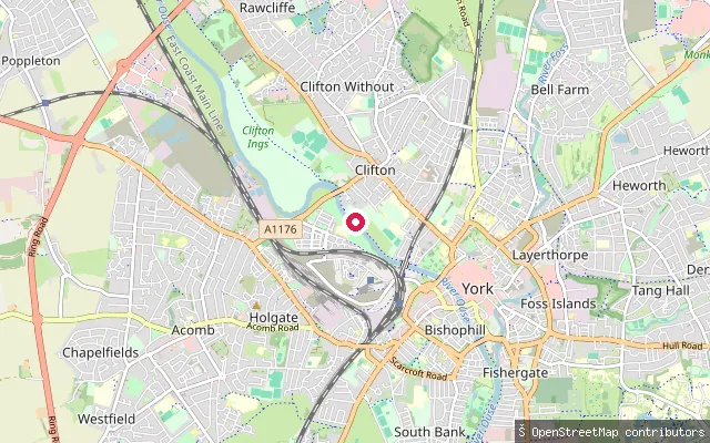
RiverClifton put-in (York)
North Yorkshire, EnglandThis put-in lies on the River Ouse by the Clifton suburb of York, close to Clifton Bridge. The river here is flanked by the Clifton, Rawcliffe and Poppleton Ings washland, an engineered flood-storage area whose sluice gates open to take Ouse floodwater above a set river level and protect York city centre.
 River
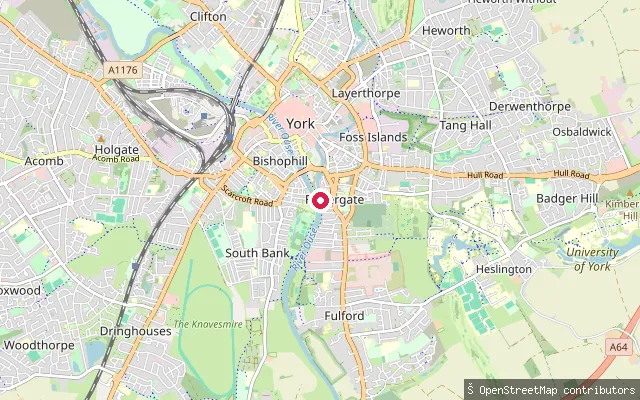
RiverBlue Bridge Slipway
North Yorkshire, EnglandA public slipway onto the River Ouse at the bottom of Blue Bridge Lane in the Fishergate area of central York, one of four public slipways listed by City of York Council. The nearest car park is St George's Field.
 River
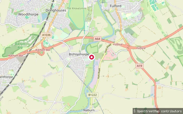
RiverBishopthorpe put-in
North Yorkshire, EnglandA launch point on the River Ouse at Bishopthorpe, a village on the west bank just south of York. The Ferry Lane area of the village is used for organised paddling events such as the annual York Canoe race, and York Marine Services operates a boat yard nearby.
 River
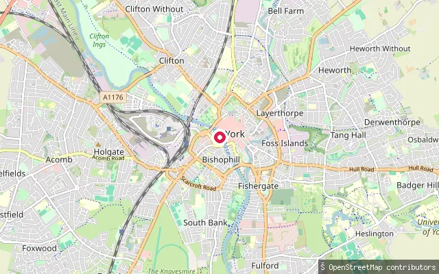
RiverBishophill put-in (York)
North Yorkshire, EnglandAn unmarked slipway on the River Ouse on the Bishophill riverside, west bank, close to North Street in York city centre near Ouse Bridge.
 River
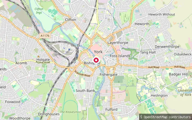
RiverBishophill put-in (York)
North Yorkshire, EnglandAn unmarked slipway on the River Ouse in Clementhorpe, part of the Bishophill riverside on the west bank of the river in central York, downstream of the city's main bridges.
 River
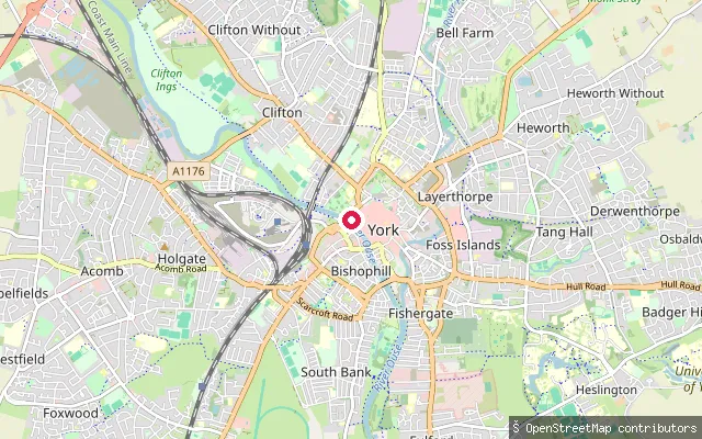
RiverBishophill put-in (York)
North Yorkshire, EnglandAn unmarked slipway on the River Ouse near Museum Street in central York, at the northern end of the Bishophill riverside close to Lendal Bridge and Museum Gardens.
 River
RiverBishophill put-in (York)
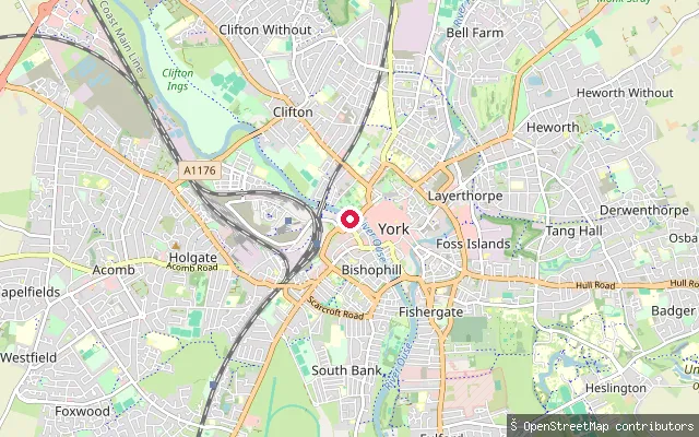
North Yorkshire, EnglandThis put-in sits on the River Ouse in central York, on the west bank below the historic Bishophill area within the old city walls. The Canal and River Trust manages this reach and requires a waterways licence for canoes, kayaks and paddleboards, which a Paddle UK membership can cover.
 River
RiverAcaster Malbis put-in
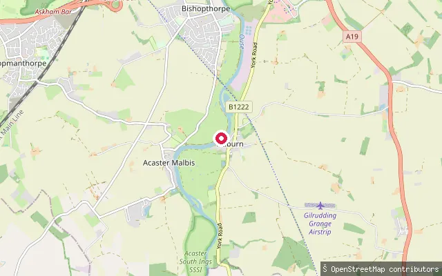
North Yorkshire, EnglandA riverside access point on the River Ouse near Naburn, close to the site of the former Naburn ferry crossing, just above the tidal limit at Naburn Lock.
 River
RiverAcaster Malbis put-in
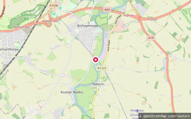
North Yorkshire, EnglandAn unmarked slipway on the River Ouse at the site of the former Naburn Railway Bridge, a disused railway crossing on the west bank now carrying a footpath and cycleway. The bank here falls within Acaster Malbis parish, opposite Naburn.
 River
RiverAcaster Malbis put-in
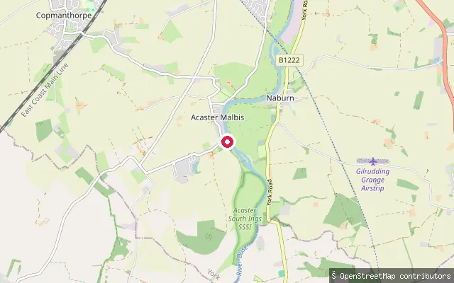
North Yorkshire, EnglandA launch point on the River Ouse at Acaster Malbis, a riverside village on the west bank a few miles upstream of Naburn Lock. The stretch here is non-tidal and managed by the Canal and River Trust.
 River
RiverThornaby put-in
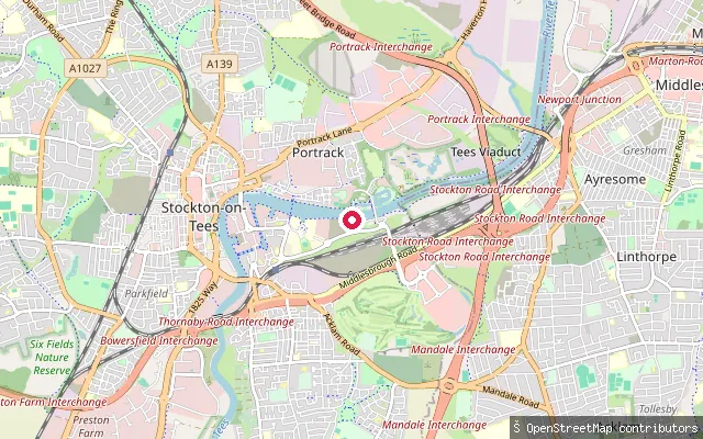
North Yorkshire, EnglandThis slipway lies on the River Tees at Thornaby-on-Tees, just upstream of the Tees Barrage, which holds the river at a fixed, non-tidal level through Stockton-on-Tees. The Canal and River Trust manages this stretch of the river and requires a paddling licence, and the Tees Barrage International White Water Course sits alongside on the north bank.
 Sea
SeaStaithes Harbour slipway
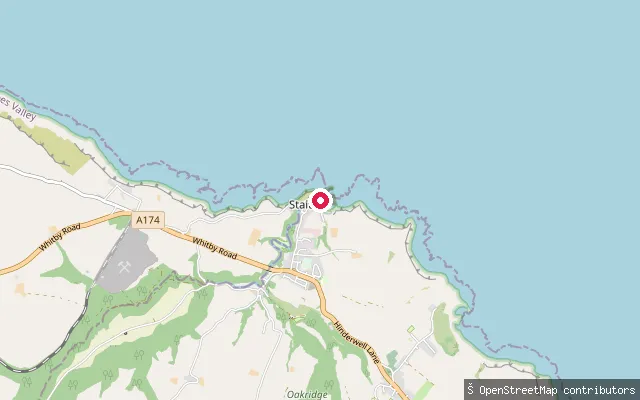
North Yorkshire, EnglandStaithes Harbour is a small drying tidal harbour on the North Yorkshire coast, formed where Staithes Beck meets the North Sea in a narrow cleft between high cliffs and overlooked by the headland of Cowbar Nab. This slipway is one of several public launch points inside the harbour.
 Lake
LakeScaling Dam Reservoir slipway
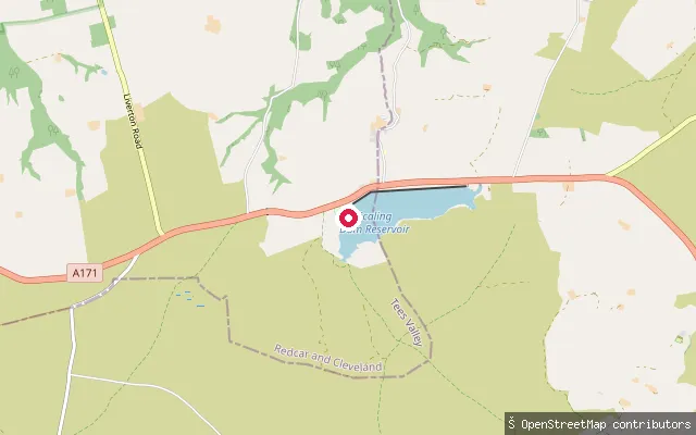
North Yorkshire, EnglandThis slipway launches onto Scaling Dam Reservoir, a freshwater reservoir beside the A171 roughly halfway between Guisborough and Whitby. Northumbrian Water owns the reservoir and leases the clubhouse and sailing rights to Scaling Dam Sailing Club, whose approved watersports include paddleboarding, canoeing and kayaking alongside dinghy sailing.
 Sea
SeaLime Road Slipway
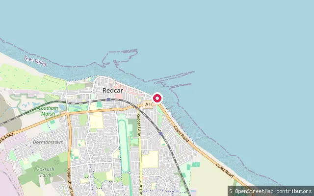
North Yorkshire, EnglandLime Road Slipway launches onto Redcar's beach at the eastern end of the seafront, on the North Sea coast of Tees Bay. Lime Road itself is a residential street in Redcar, not in New Marske, which lies further inland to the south.
 Sea
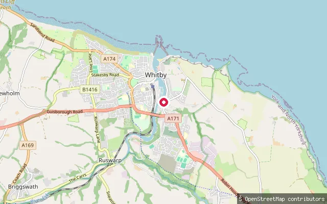
SeaBoat Landing slipway (Whitby upper harbour)
North Yorkshire, EnglandThis put-in sits a short distance from Whitby Marina, in the upper harbour above the swing bridge on the River Esk, opposite the Parkol shipyard. A riverside walk runs along this stretch of the harbour.
 Sea
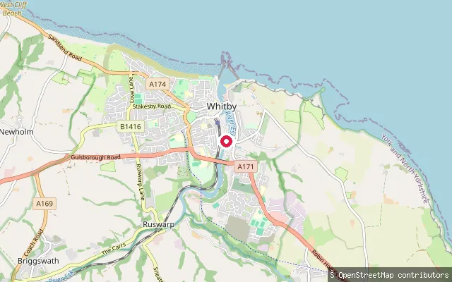
SeaWhitby Marina slipway (upper harbour)
North Yorkshire, EnglandWhitby Marina occupies the tidal upper harbour of the River Esk, the yacht-berthing reach above the town's 1908 swing bridge, with the Parkol Marine Engineering shipyard and dry dock working the opposite bank. Downstream through the bridge lies Whitby's lower harbour, the fish quay and the piers guarding the entrance to the North Sea; upstream, the harbour's tidal limit is Ruswarp weir, about two miles inland.
 Sea
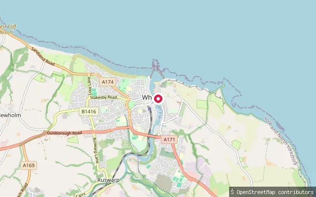
SeaAlders Waste Ghaut slipway (Whitby Harbour)
North Yorkshire, EnglandThis put-in sits within Whitby Harbour, the tidal harbour formed by the River Esk estuary, close to the site of the old Alders Waste Ghaut landing off Church Street. Whitby Harbour is protected by two piers at its north-facing entrance.
 Sea
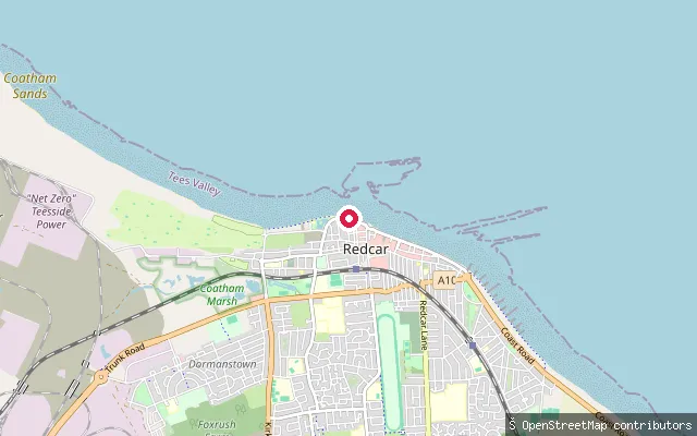
SeaTurner Street Slipway
North Yorkshire, EnglandTurner Street Slipway launches onto Redcar's sandy beach at the western end of the town's seafront, on the North Sea coast that forms Tees Bay between the South Gare breakwater and Saltburn.
 River
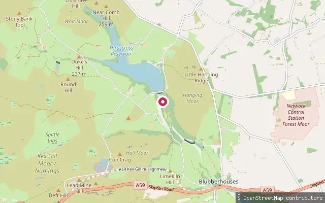
RiverThruscross put-in
North Yorkshire, EnglandThe River Washburn runs from Thruscross Reservoir dam south towards Fewston Reservoir in the Washburn valley, near the hamlet of Thruscross. Yorkshire Water periodically releases water from the reservoir onto this stretch to create whitewater conditions for kayaking and canoeing, and a concrete access point below the dam serves as the put-in.
 Sea
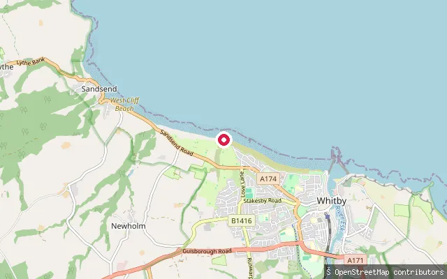
SeaUpgang Beach slipway
North Yorkshire, EnglandThis slipway serves Upgang Beach, a small sand-and-shingle beach between Sandsend Beach and Whitby's West Cliff Beach, on the North Sea. Access to the beach is by steps and a steep path from Whitby Golf Course above, and the beach is used more by local surfers than by sunbathers.
 Lake
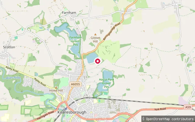
LakeScriven put-in
North Yorkshire, EnglandCalmwater Bay is a private lake in a former quarry off Boroughbridge Road, just west of Scriven near Knaresborough. A small, volunteer-run waterski and wakeboard club uses the site and also offers self-launch paddleboard sessions, bookable by members and newcomers through taster sessions.
 Sea
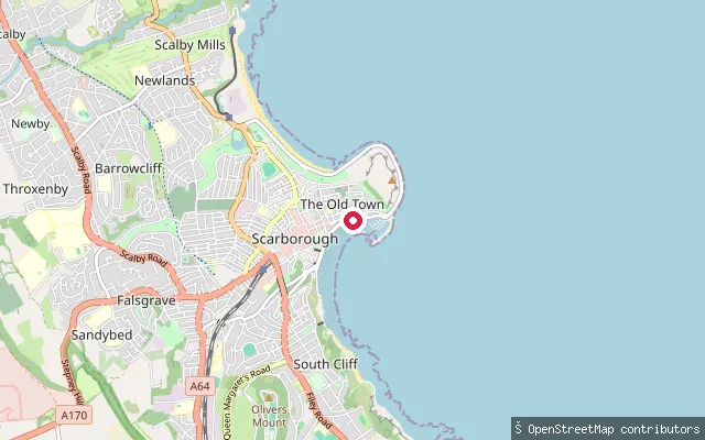
SeaScarborough Harbour slipway
North Yorkshire, EnglandScarborough Harbour lies in the town's South Bay, enclosed by the West, Vincent and East piers below the castle headland, and opens onto the North Sea. This slipway sits on the harbour's west side and is used for launching small craft.
Save your own spots
Keep the places you launch, check the wind and shelter before you go, and log every paddle. Add a spot to the directory too, and other paddlers will find it. Free to start.
Some launch spots in this directory are seeded from open data. © OpenStreetMap contributors · Open Database Licence (ODbL) · Machine-readable copy