Paddleboarding spots in Devon
110 launch spots across Devon
This weekend’s calmest picks in Devon
See the ranked launch spots for the best conditions this weekend
Many inland waterways need a licence to paddle. Check with Paddle UK before you go.
Every mapped spot in Devon
Zoom in to split a cluster; open a pin for the spotMap of every spot in Devon
The interactive map opens on any device with JavaScript. The full list of launch spots is below.
Launch spots
Showing 24 of 110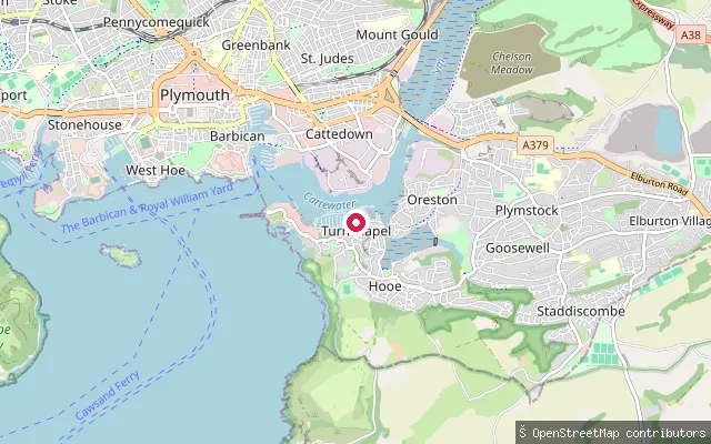 Sea
SeaTurnchapel put-in (Plymouth)
Devon, EnglandThis put-in is on the Cattewater shoreline at the eastern edge of Turnchapel, close to where mudflats mark the approach to Hooe Lake. OpenStreetMap tags the access road here as having no footway.
 Sea
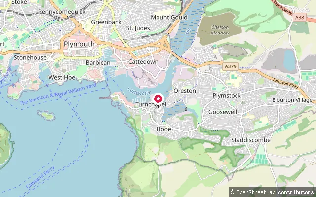
SeaOreston put-in (Plymouth)
Devon, EnglandThis put-in sits on the same Barton Road shoreline as a near-duplicate entry about 16 metres away, on the edge of Oreston on the Cattewater's southern bank.
 Sea
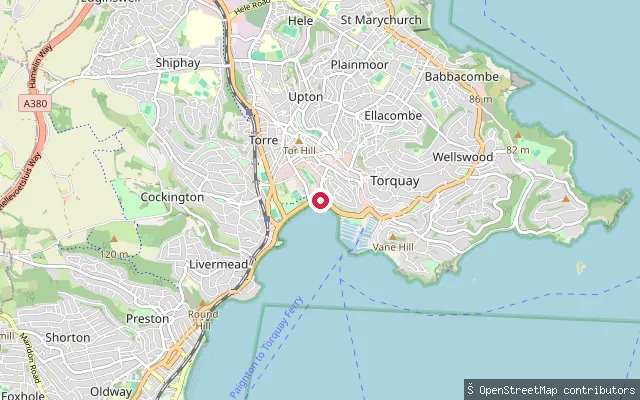
SeaTorre Abbey Sands put-in (Torquay)
Devon, EnglandThis slipway sits on Torre Abbey Sands, the beach that runs along Torbay Road between Torquay harbour and Corbyn Head, in Devon. It opens onto Tor Bay rather than the enclosed harbour, close to Torquay railway station.
 Sea
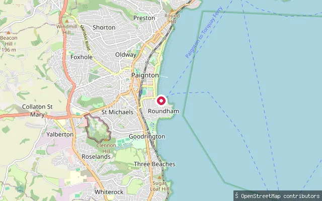
SeaNorth Quay put-in (Paignton Harbour)
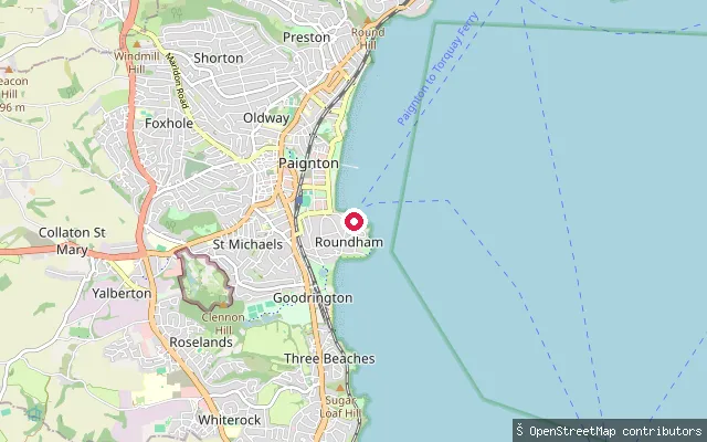
Devon, EnglandThis slipway is on Roundham Road by the North Quay of Paignton Harbour, Devon. Like the rest of the harbour it dries at low tide, so the slipway is usable only around two and a half hours either side of high water.
 Sea
SeaSouth Quay put-in (Paignton Harbour)
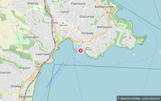
Devon, EnglandThis slipway is on South Quay in Paignton Harbour, Devon. The harbour dries out at low tide, so Tor Bay Harbour Authority notes its slipway is usable only around two and a half hours either side of high water; the authority's wider paddling policy also points paddlers to open beaches over the enclosed harbour.
 Sea
SeaHaldon Pier put-in (Torquay Harbour)
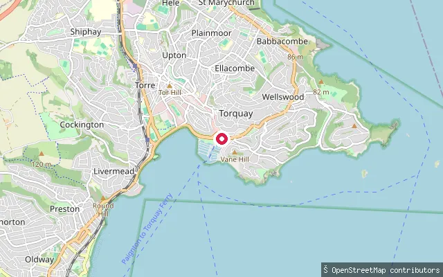
Devon, EnglandThis slipway sits on Haldon Pier, one of the two breakwaters enclosing Torquay's outer harbour, in Devon. Tor Bay Harbour Authority's paddling policy discourages launching inside the enclosed harbours because the entrances and fairways get congested, and recommends open beaches such as Meadfoot instead.
 Sea
SeaVaughan Parade put-in (Torquay Harbour)
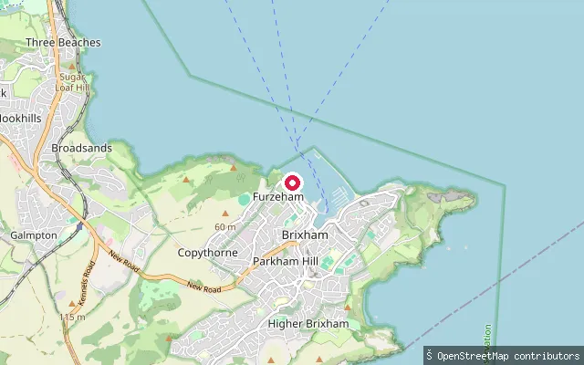
Devon, EnglandThis slipway opens onto Torquay's inner harbour from Vaughan Parade, the harbourside road by the marina, in Devon. As with the rest of the enclosed harbour, Tor Bay Harbour Authority's policy points paddlers toward open beaches such as Meadfoot rather than the harbour itself, citing congestion at the entrances.
 Sea
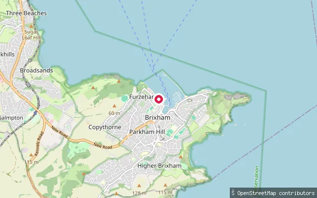
SeaFishcombe Cove approach put-in (Brixham)
Devon, EnglandThis slipway sits on the South West Coast Path between Brixham and Broadsands, Devon, roughly 300 metres from Fishcombe Cove, opening onto Tor Bay.
 Sea
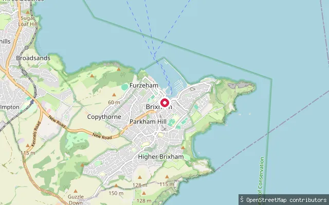
SeaBrixham coast path put-in (South West Coast Path)
Devon, EnglandThis slipway sits on the South West Coast Path between Brixham and Broadsands, Devon, opening onto Tor Bay. No named cove was found close enough to the coordinate to use in place of the wider bay.
 Sea
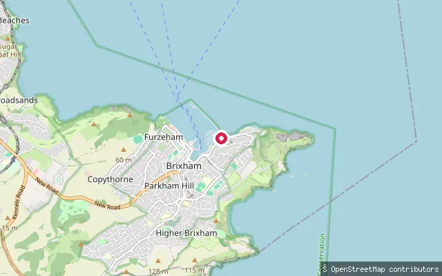
SeaThe Strand put-in (Brixham Harbour)
Devon, EnglandThis slipway is on The Strand in Brixham Harbour, Devon, which shelters one of England's largest remaining commercial fishing fleets. Tor Bay Harbour Authority's paddling policy asks paddlers to keep clear of commercial berths and recommends the open Breakwater Beach over the working harbour.
 Sea
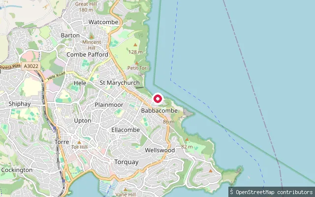
SeaBreakwater Beach put-in (Brixham, Berry Head Road)
Devon, EnglandThis slipway is on Berry Head Road by Breakwater Beach, Brixham, Devon, about 50 metres from another mapped slipway point that appears to be the same physical launch. Tor Bay Harbour Authority names Breakwater as one of the beaches it recommends for launching kayaks, canoes and paddleboards.
 Sea
SeaBabbacombe put-in (Torquay)
Devon, EnglandThis slipway is on Beach Road below Babbacombe Downs, launching onto Babbacombe Bay, the stretch of coast running north from Hope's Nose toward the Teign Estuary. The rock, pebble and sand beach has a harbour wall, with the Cary Arms pub alongside.
 Sea
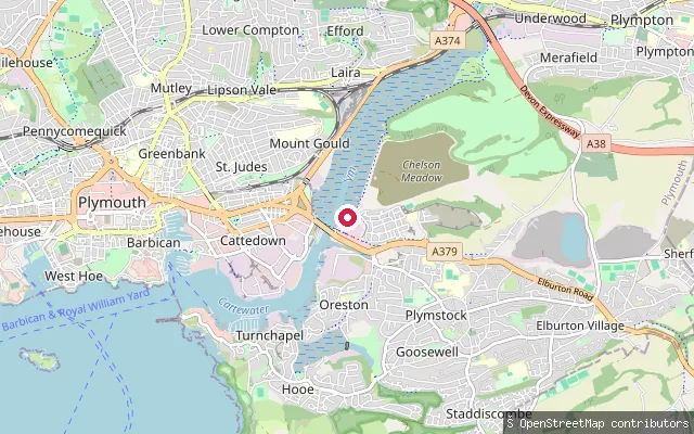
SeaOreston put-in (Plymouth)
Devon, EnglandThis slipway lies on the Cattewater, the tidal stretch where the River Plym meets Plymouth Sound, close to Oreston on the south bank. Oreston grew up as a fishing and limestone-quarrying village on the Cattewater and is now a Plymouth suburb with its own quay.
 Sea
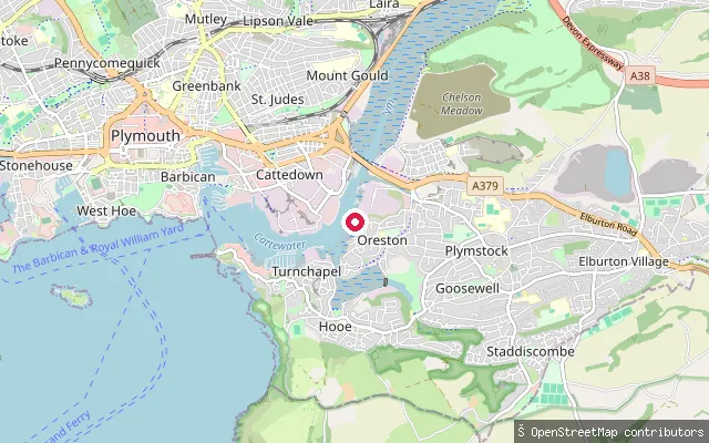
SeaOreston Slipway
Devon, EnglandOreston Slipway is a concrete launch ramp at The Quay in Oreston, on the south bank of the Cattewater where the River Plym meets Plymouth Sound. A separately mapped OpenStreetMap point recording a slipway sits barely 10 metres away, likely the same launch spot recorded twice.
 River
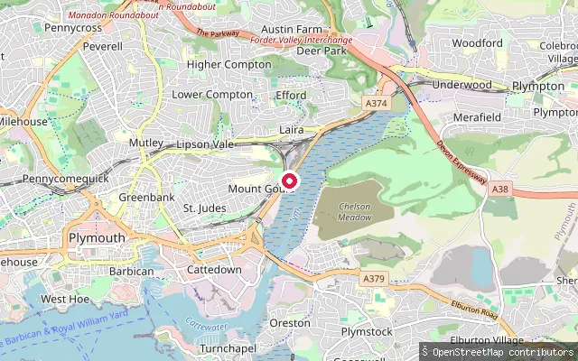
RiverMount Gould put-in (Plymouth)
Devon, EnglandThis slipway sits on the Laira, the tidal upper reach of the River Plym, below the Mount Gould area of Plymouth. OpenStreetMap tags it as a leisure slipway and an edit note links it to Plymouth Amateur Rowing Club, which uses this stretch of water.
 Sea
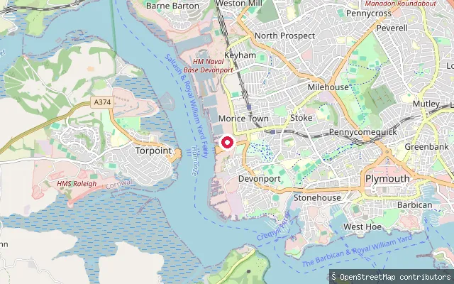
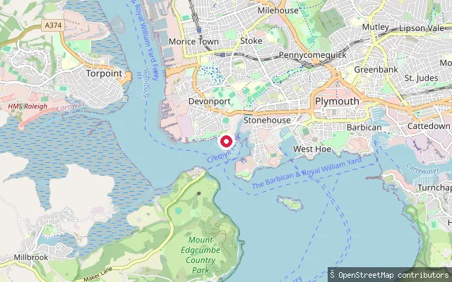
SeaMorice Town put-in (Plymouth)
Devon, EnglandThis slipway is at Tamar Wharf in Morice Town, on the Hamoaze shore of Devonport, Plymouth. It launches over a foreshore of beach and scrub next to a barrier gate, and a near-identical slipway point is mapped about six metres away.
 Sea
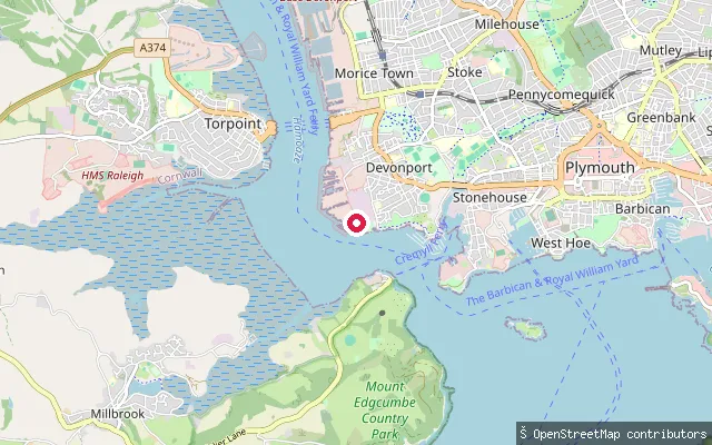
SeaDrake's Island put-in (Plymouth)
Devon, EnglandThis slipway sits at the seaward end of Richmond Walk, the waterfront promenade below Mount Wise, opening onto Plymouth Sound close to where the Hamoaze meets the Sound. OpenStreetMap tags it fee=no.
 Sea
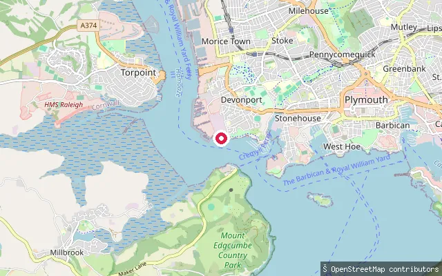
SeaNo.3 Building Slip
Devon, EnglandNo.3 Building Slip is a historic slip inside HM Naval Base Devonport, originally a mast pond before being rebuilt as a large slip for building dreadnought battleships and extended to 752 feet in 1912 to launch the superdreadnought HMS Warspite. It lies within the dockyard's restricted area on the Hamoaze.
 Sea
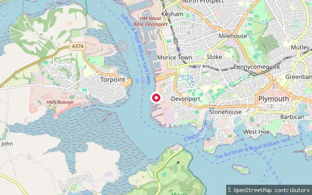
SeaNo.1 Slip
Devon, EnglandNo.1 Slip is a historic slipway inside HM Naval Base Devonport, built in 1774 and one of the few to survive largely unaltered from that period, with a timber cover added in 1814 that is one of only three surviving examples of its type in Britain. It sits within the dockyard's restricted area on the Hamoaze.
 Sea
SeaDevonport put-in (Plymouth)
Devon, EnglandThis slipway sits on the Hamoaze at Cornwall Beach in Devonport, Plymouth, close to a feature mapped as No.5 Jetty. The stretch lies on the edge of Devonport Dockyard, and no source found confirms whether the public can launch here.
 Sea
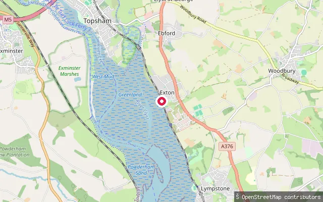
SeaWoodbury put-in (East Devon)
Devon, EnglandThis slipway is on the Exe Estuary at Exton, a small settlement on the estuary's east shore between Topsham and Lympstone. Woodbury village itself lies about 3km inland and is not the water here.
 Sea
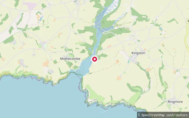
SeaWonwell Slipway
Devon, EnglandWonwell Slipway sits on the eastern bank of the River Erme estuary mouth, opposite Mothecombe, near the hamlet of Kingston in the South Hams. The Erme discharges into Bigbury Bay between the Yealm and the Avon, and above Sequer's Bridge the estuary forms a ria with extensive saltmarsh and mudflats uncovered at low tide. The estuary and its shores lie within the privately owned Flete Estate, which lists the water as suitable for paddle boarding, kayaking and canoeing.
 Sea
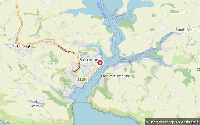
SeaWhitestrand
Devon, EnglandWhitestrand Quay is a slipway on Salcombe's town waterfront, built during the Second World War as part of a US Navy amphibious training base and now home to the harbour office. It launches directly onto the sheltered main channel of the Kingsbridge Estuary.
 Sea
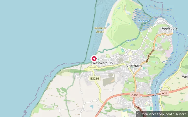
SeaWestward Ho! slipway, Westbourne Terrace
Devon, EnglandThis is the Westbourne Terrace slipway also mapped as a separate node 10 metres away, a concrete public byway launching onto Bideford Bay at Westward Ho!. OpenStreetMap records it as open to pedestrians, cyclists, horse riders and vehicles, with no fee.
Save your own spots
Keep the places you launch, check the wind and shelter before you go, and log every paddle. Add a spot to the directory too, and other paddlers will find it. Free to start.
Some launch spots in this directory are seeded from open data. © OpenStreetMap contributors · Open Database Licence (ODbL) · Machine-readable copy