Paddleboarding spots in Surrey
23 launch spots across Surrey
Many inland waterways need a licence to paddle. Check with Paddle UK before you go.
Every mapped spot in Surrey
Zoom in to split a cluster; open a pin for the spotMap of every spot in Surrey
The interactive map opens on any device with JavaScript. The full list of launch spots is below.
Launch spots
Showing 23 of 23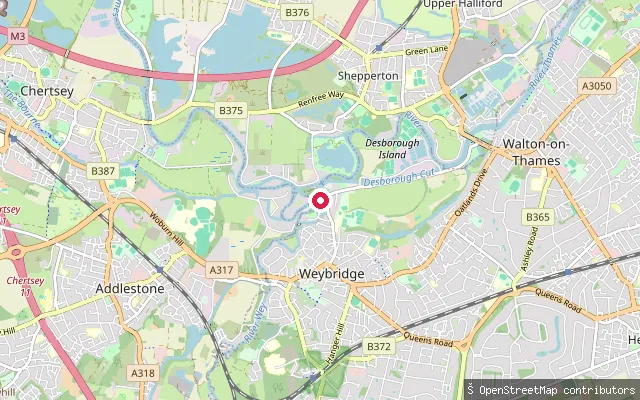 River
RiverWeybridge put-in (Elmbridge)
Surrey, EnglandThis slipway on the River Thames at Weybridge adjoins the Weybridge Marine boatyard on Thames Street. Environment Agency registration applies to all craft, including paddleboards, used on this non-tidal reach.
 River
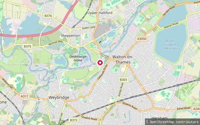
RiverWalton-on-Thames put-in
Surrey, EnglandThis slipway sits on the River Thames at Walton Bridge, on the Shepperton bank opposite the town of Walton-on-Thames. Environment Agency registration applies to all craft, including paddleboards, used on this non-tidal reach.
 River
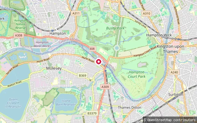
RiverMolesey Lock portage rollers
Surrey, EnglandThese concrete rollers let canoes and kayaks be portaged around Molesey Lock on the River Thames, on the right bank at East Molesey within sight of Hampton Court Palace across the water. OSM tags the feature canoe=yes with a designated portage route.
 River
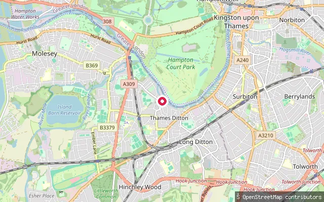
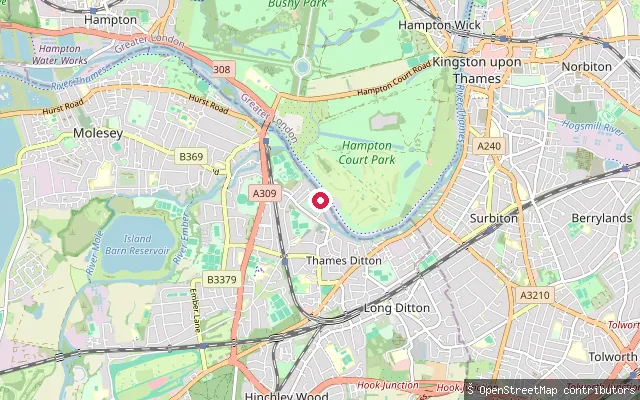
RiverThames Ditton put-in
Surrey, EnglandThis slipway is on the River Thames at Thames Ditton, close to Boyle Farm and its island on the same reach. OSM records only a basic slipway tag with no further detail.
 River
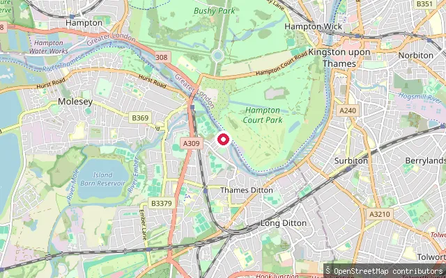
RiverThames Ditton put-in
Surrey, EnglandThis slipway is on the River Thames at Thames Ditton, on the reach that overlooks Hampton Court Palace's gardens and golf course on the opposite bank. OSM records only a basic slipway tag with no further detail.
 River
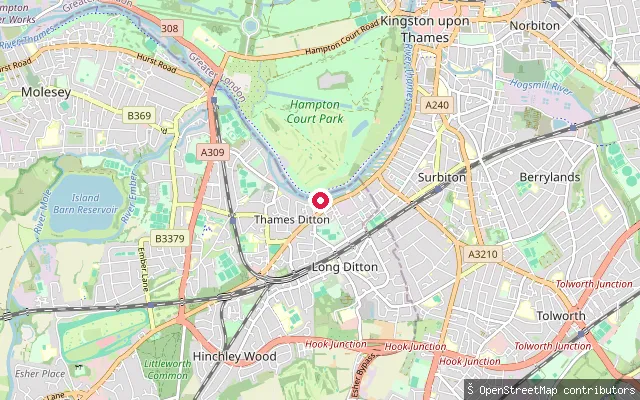
RiverThames Ditton put-in
Surrey, EnglandThis slipway sits at the end of Queen's Road in Thames Ditton, on the River Thames near the Dittons Skiff and Punting Club and Thames Ditton Island. OSM records no access tag beyond the slipway itself.
 River
RiverThames Ditton put-in
Surrey, EnglandThis slipway is on the River Thames on Portsmouth Road, on the Thames Ditton side of the reach towards Surbiton. OSM records only a basic slipway tag with no further detail.
 River
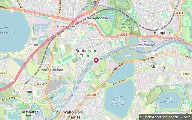
RiverSunbury Lock Boat Rollers
Surrey, EnglandThese boat rollers sit beside Sunbury Lock on the River Thames in Sunbury-on-Thames, letting craft be carried around the lock cut rather than through the chamber. The Environment Agency requires registration for vessels using this reach of the Thames.
 River
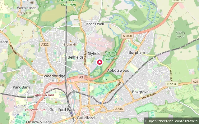
RiverSlyfield put-in (Guildford)
Surrey, EnglandThis launch point sits on the River Wey Navigation at Slyfield, on the northern edge of Guildford near Jacobs Well, downstream toward Bowers Lock. The National Trust manages the navigation and requires a registration for unpowered craft including canoes and paddleboards.
 River
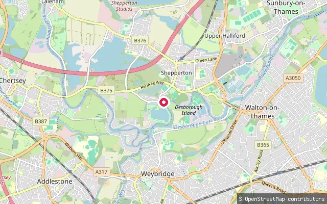
RiverShepperton put-in
Surrey, EnglandThis concrete slipway sits at Ferry Square in old Shepperton, on the River Thames, close to where the seasonal Shepperton to Weybridge foot ferry crosses the river. The Environment Agency requires registration for all craft, including paddleboards, used on this non-tidal reach.
 River
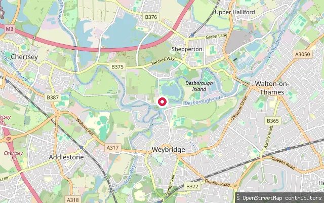
RiverShepperton put-in
Surrey, EnglandThis slipway sits on the River Thames towpath in Shepperton, on a stretch shared by the Thames Path and the EuroVelo 2 cycle route, near Desborough Island and D'Oyly Carte Island. Environment Agency registration applies to all craft, including paddleboards, on this non-tidal reach.
 River
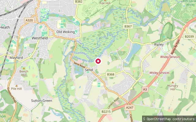
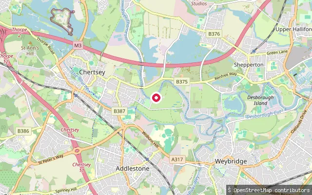
RiverSend put-in (Cartbridge)
Surrey, EnglandThis launch point sits at Cartbridge on the River Wey Navigation at Send, between Papercourt Lock and Triggs Lock. The National Trust manages the navigation and requires a registration for unpowered craft such as canoes and paddleboards, though the cost is modest and hire operators handle it for their own customers.
 River
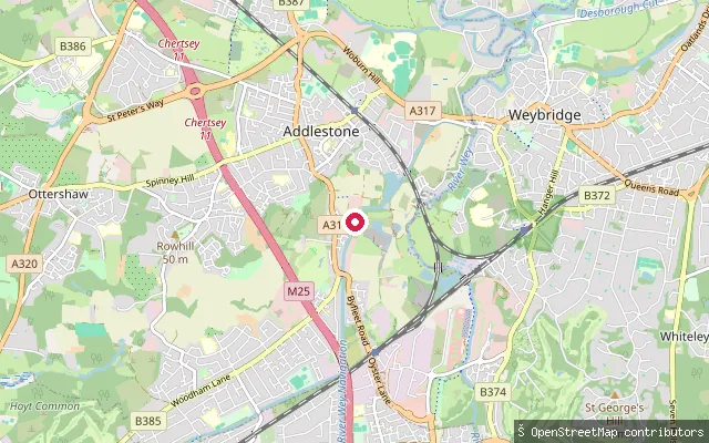
RiverChertsey Bridge put-in
Surrey, EnglandThis slipway sits on the River Thames at Chertsey Bridge, next to Chertsey Meads and the Dumsey Meadow SSSI, an unimproved water meadow grazed by ponies and cattle. The Chertsey and Shepperton Regatta has been held on the meadow for more than 150 years, and Environment Agency registration applies to all craft, including paddleboards, on this non-tidal reach.
 River
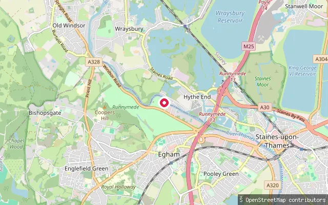
RiverNew Haw put-in (Wey Navigation)
Surrey, EnglandThis slipway sits on the River Wey Navigation at New Haw, close to Coxes Lock. The National Trust owns and manages the navigation and requires a registration for unpowered craft such as canoes, kayaks and paddleboards.
 River
RiverPooley Green put-in (Runnymede)
Surrey, EnglandThis launch point sits on the River Thames at Pooley Green, a small riverside settlement in Egham, Surrey, between the Runnymede meadows and Staines-upon-Thames. This stretch is non-tidal, well above the Thames tidal limit at Teddington Lock, and the Environment Agency requires a registration for unpowered craft here.
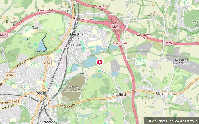 Lake
LakeMercers Lake slipway (Nutfield)
Surrey, EnglandThis slipway serves Mercers Lake at Mercers Country Park on Nutfield Marsh Road, South Nutfield, a flooded former sand and gravel working of more than 70 acres run by the watersports operator Aqua Sports Company. The park offers bookable paddleboarding, kayaking, sailing and windsurfing sessions on the lake alongside a lakeside cafe.
 River
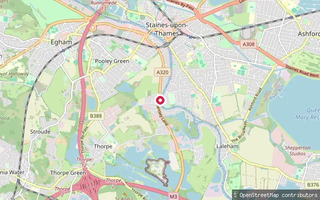
RiverTruss's Island slipway
Surrey, EnglandThis public slipway serves Truss's Island, a small landscaped island in the River Thames between Staines-upon-Thames and Laleham, reached by two footbridges from the Surrey bank. The island has a free car park, picnic tables and a fishing platform, and the Environment Agency requires a registration for unpowered craft on this non-tidal stretch of the river.
 Lake
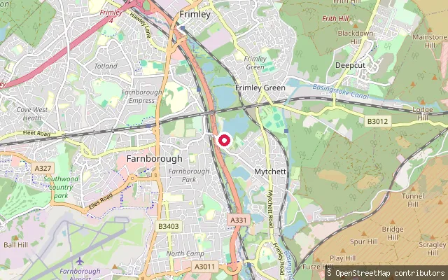
LakeFrimley slipway, Mytchett Lake
Surrey, EnglandThis slipway, named Frimley in OpenStreetMap, gives access to Mytchett Lake, a former gravel-pit lake beside the Basingstoke Canal near Frimley Green. It sits in an area of reclaimed pits used informally for walking and wildlife watching, separate from the canal's own licensed navigation.
 Canal
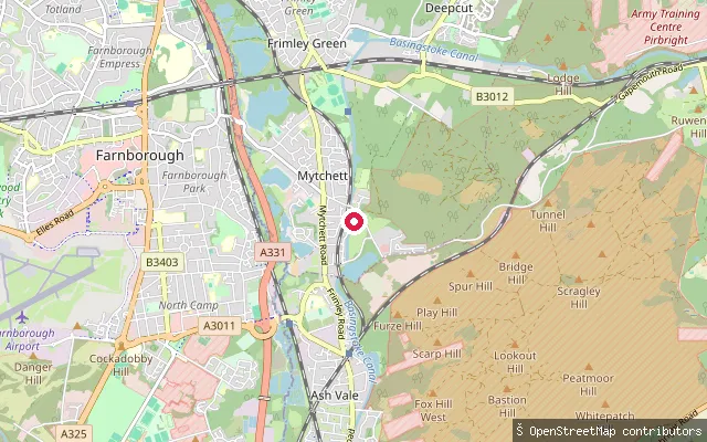
CanalLinsford Farm put-in (Surrey Heath)
Surrey, EnglandThis slipway opens onto the Basingstoke Canal at Mytchett, on the Surrey stretch between Aldershot and Woking. The canal is a broad, sheltered artificial waterway rather than a river, and the Basingstoke Canal Authority requires a licence for every unpowered craft, including canoes, kayaks and paddleboards.
 River
RiverLaleham put-in
Surrey, EnglandThis slipway is on the River Thames at Laleham, a village on the reach between Chertsey and Staines-upon-Thames. Two further slipways are mapped within 60 m along the same bank.
 Lake
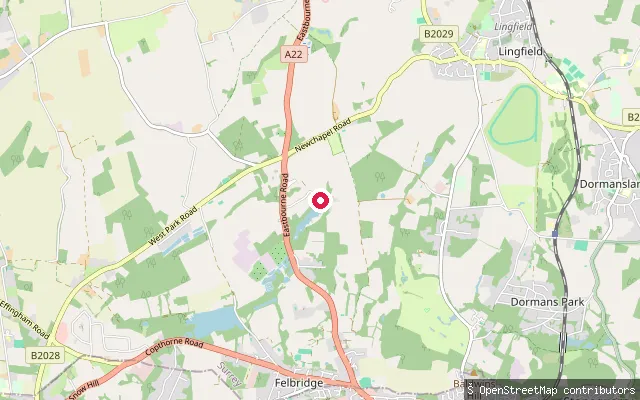
LakeWire Mill Lake slipway (Felbridge)
Surrey, EnglandThis slipway opens onto Wire Mill Lake, a 26-acre pond created in the 1560s by damming Eden Brook, a tributary of the River Eden, near Felbridge. The lake is used for sailing, fishing and waterskiing, and the Wire Mill pub stands on its shore.
 Lake
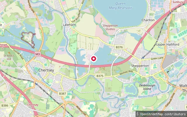
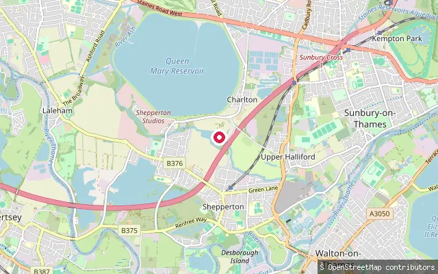
LakeLiquid Leisure slipway (Charlton)
Surrey, EnglandThis slipway leads onto an unnamed lake at Liquid Leisure, a commercial watersports park in Charlton, a hamlet beside the Queen Mary Reservoir on the edge of Shepperton in Surrey. Two more mapped slipways lie within 100 metres, apparently serving the same private lake.
 Lake
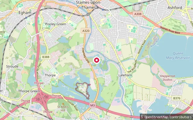
LakeBishops Platt put-in (Runnymede)
Surrey, EnglandThis point sits on a small lake within the grounds of Bishops Platt, a private house off Norlands Lane near Egham. OpenStreetMap shows the access track to it tagged private, and no public water body or launch point could be confirmed at this coordinate.
Save your own spots
Keep the places you launch, check the wind and shelter before you go, and log every paddle. Add a spot to the directory too, and other paddlers will find it. Free to start.
Some launch spots in this directory are seeded from open data. © OpenStreetMap contributors · Open Database Licence (ODbL) · Machine-readable copy