Paddleboarding spots in Gloucestershire
20 launch spots across Gloucestershire
This weekend’s calmest picks in Gloucestershire
See the ranked launch spots for the best conditions this weekend
Many inland waterways need a licence to paddle. Check with Paddle UK before you go.
Every mapped spot in Gloucestershire
Zoom in to split a cluster; open a pin for the spotMap of every spot in Gloucestershire
The interactive map opens on any device with JavaScript. The full list of launch spots is below.
Launch spots
Showing 20 of 20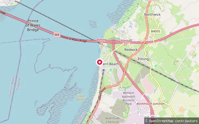 Sea
SeaSevern Beach slipway
Gloucestershire, EnglandThis slipway crosses tidal mudflats onto the Severn Estuary at Severn Beach, a shoreline village between the Second Severn Crossing and Avonmouth. The estuary carries one of the largest tidal ranges in the world, and the foreshore here forms part of the Severn Estuary SSSI, SAC and SPA, designated for its intertidal habitats and wintering birds. Older accounts describe the slip itself as a decayed wooden structure set in deep estuary mud.
 Lake
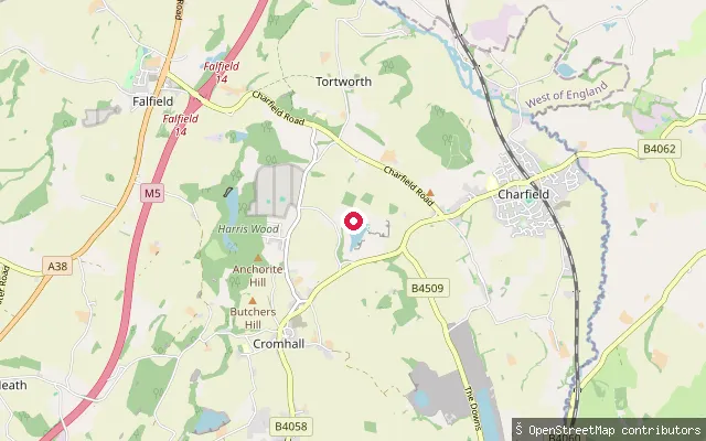
LakeCromhall Quarry put-in
Gloucestershire, EnglandCromhall Quarry, also known as Slickstones Quarry, is a flooded former limestone quarry near the village of Cromhall in South Gloucestershire, reaching depths of around 17 to 18 metres. Since 2020 it has been run by South West Maritime Academy as "The Lake", offering bookable open water swimming, diving and paddleboarding sessions, with entry from a sloping former quarry road and a pontoon.
 River
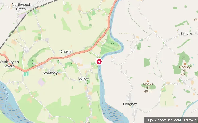
RiverWestbury-on-Severn put-in (Forest of Dean)
Gloucestershire, EnglandThis slipway is on the tidal River Severn by the A48 at Chaxhill, on the edge of Westbury-on-Severn village. OpenStreetMap records it only as a bare slipway with no further tags.
 River
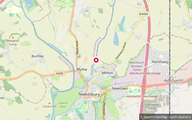
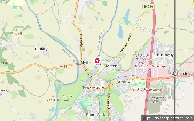
RiverTewkesbury put-in (Mitton, north)
Gloucestershire, EnglandThis slipway sits on the River Avon (the Warwickshire, or Shakespeare's, Avon) at Mitton on the northern edge of Tewkesbury, around 300 metres upstream of a second slipway on the same reach (node/1057565493). The Avon Navigation Trust manages this stretch of river down to its confluence with the Severn at Tewkesbury.
 River
RiverTewkesbury put-in (Mitton)
Gloucestershire, EnglandThis slipway sits on the River Avon (the Warwickshire, or Shakespeare's, Avon) at Mitton on the northern edge of Tewkesbury, a short distance upstream of the river's confluence with the Severn. The Avon Navigation Trust manages this stretch of river as far as that confluence.
 Canal
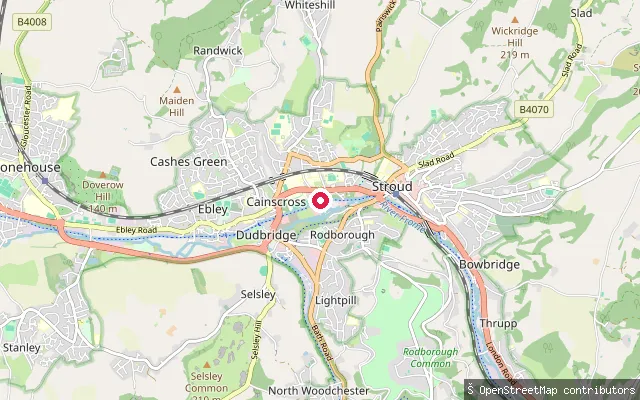
CanalStrachan's Close Slipway
Gloucestershire, EnglandStrachan's Close Slipway, off Chestnut Lane near Caincross Road in Stroud, is the only trailer access into the navigable Phase 1A section of the restored Stroudwater Navigation, which runs from Ocean Basin at Stonehouse to Bowbridge Lock. It is a steep slipway, free to use, secured with a chain and padlock needing a Canal & River Trust WaterMate key, with three canal-user parking spaces nearby.
 Open water
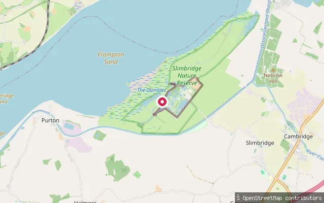
Slimbridge put-in (Stroud)
Gloucestershire, EnglandThis pier and slipway sit inside the WWT Slimbridge Wetland Centre, a paid wildlife reserve between the tidal River Severn and the Gloucester and Sharpness Canal.
 River
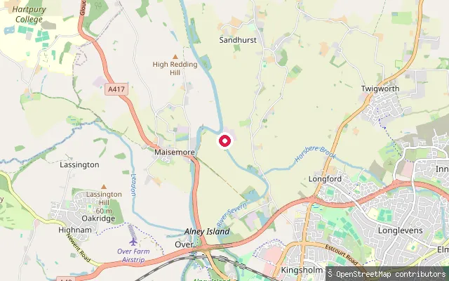
RiverSandhurst put-in (Tewkesbury)
Gloucestershire, EnglandThis slipway is on the non-tidal River Severn at Sandhurst, on the east bank opposite Ashleworth Quay, where a ferry linked the two villages until it closed in the 1950s. The Gloucester-to-Stourport reach is managed as a navigation, and the Canal & River Trust requires unpowered craft to hold a licence.
 River
RiverPendrose Farm put-in (Forest of Dean)
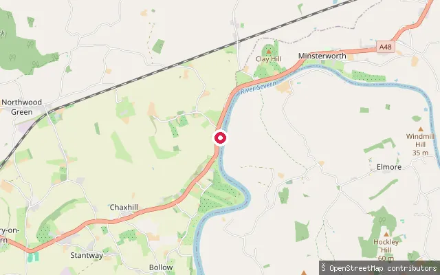
Gloucestershire, EnglandThis slipway launches onto the tidal River Severn near Chaxhill, close to Westbury-on-Severn, next to the farm that gives the put-in its name. OpenStreetMap records only a bare slipway tag with no further detail.
 River
RiverNewland put-in (Forest of Dean)
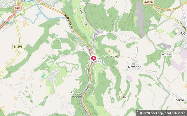
Gloucestershire, EnglandA slipway on the River Wye within Newland civil parish in the Forest of Dean, close to Bigsweir Bridge. The reach lies inside the stretch running from Hay-on-Wye down to Bigsweir over which the Environment Agency is the navigation authority.
 Sea
SeaLydney Slip
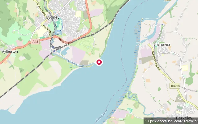
Gloucestershire, EnglandLydney Slip is the slipway at Lydney Harbour on the Severn Estuary, leased along with the harbour by Lydney Yacht Club. The harbour sits at the mouth of Lydney Pill on the estuary's eastern shore, which has the second-highest tidal range in the world.
 River
RiverLydbrook put-in (Forest of Dean)
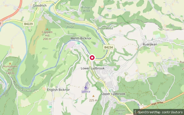
Gloucestershire, EnglandA slipway on the River Wye near Lydbrook, on the reach an OpenStreetMap contributor mapped between Kerne Bridge and Monmouth. The stretch lies within the section of the Wye that runs from Hay-on-Wye to Bigsweir Bridge, for which the Environment Agency is the navigation authority.
 River
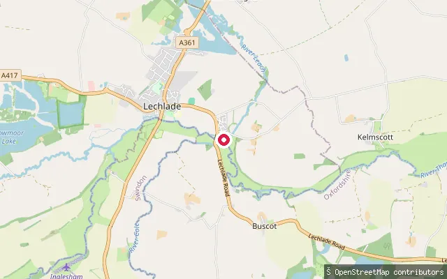
RiverSt John's Lock put-in, Lechlade
Gloucestershire, EnglandThis slipway stands beside St John's Lock on the River Thames, about a mile downstream of Lechlade-on-Thames and reachable from St John's Bridge on the A417. Built in 1790, St John's is the furthest upstream lock on the Thames, and the river above it is normally considered the end of the navigable, lock-controlled stretch.
 River
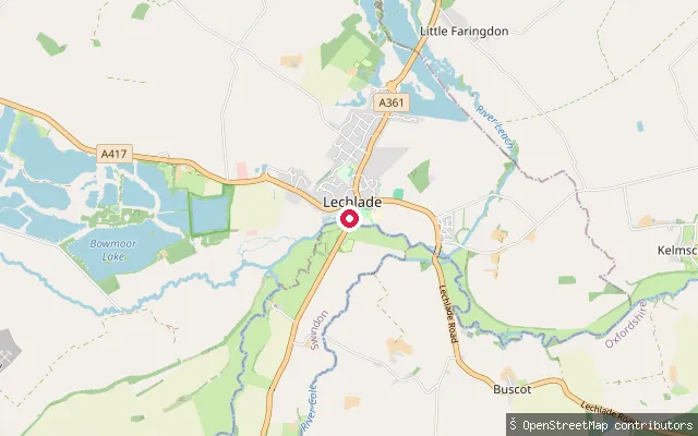
RiverLechlade Marina slipway
Gloucestershire, EnglandLechlade Marina sits at the head of the navigable River Thames, in the Cotswold market town of Lechlade-on-Thames, a few minutes' walk from the shops on Market Square.
 Canal
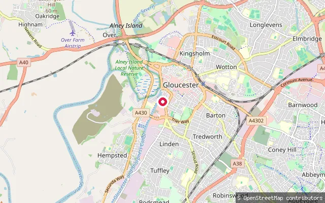
CanalKings Barton put-in (Gloucester)
Gloucestershire, EnglandThis slipway opens onto the Gloucester and Sharpness Canal at Barge Arm in Gloucester Docks, beside the Grade II listed Llanthony Warehouse, now the Gloucester Waterways Museum. OpenStreetMap tags it as a free, canoe-designated slipway with a plastic surface, not suited to trailers.
 Canal
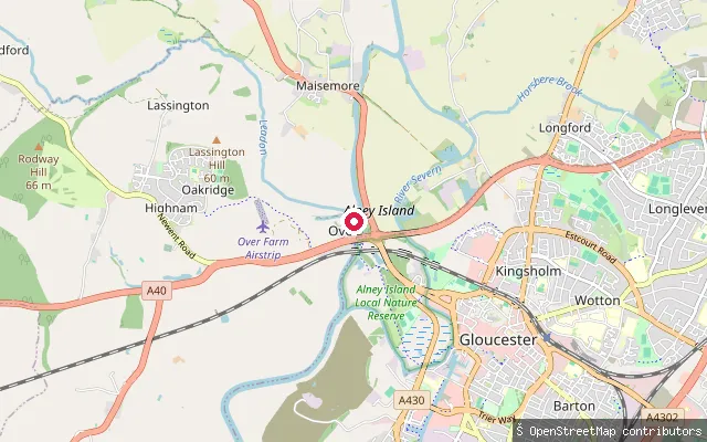
CanalHighnam put-in (Tewkesbury)
Gloucestershire, EnglandOver Basin is the restored Gloucester-end terminus of the Herefordshire and Gloucestershire Canal, an enclosed watered section on the west bank of the River Severn's West Channel at Over, on the western edge of Gloucester. The canal ran from Hereford to Gloucester, opened in 1798 and closed in 1885; the Herefordshire and Gloucestershire Canal Trust has since reinstated the basin and its wharf buildings, and names paddleboarding among the uses of its sheltered water.
 River
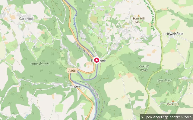
RiverHewelsfield and Brockweir put-in (Forest of Dean)
Gloucestershire, EnglandBrockweir sits at the head of the River Wye's tidal reach, the highest point on the river that a normal tide reaches on its way up from the Severn Estuary. Downstream from here the river broadens into a tidal channel, and Tintern lies about a mile downstream.
 Canal
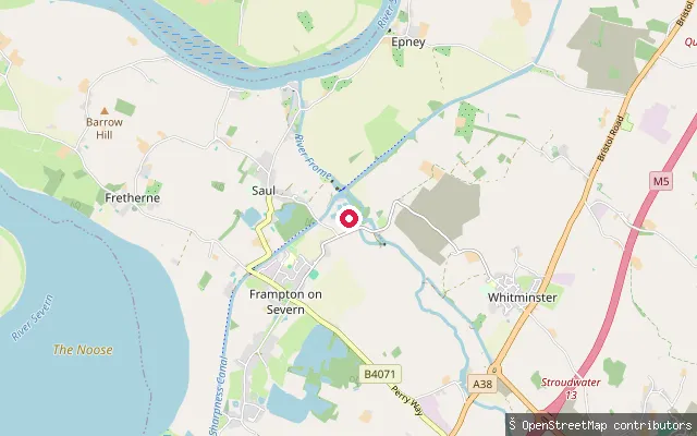
CanalFrampton on Severn put-in (Stroud)
Gloucestershire, EnglandThis launch is on the Gloucester and Sharpness Canal at Saul Junction, near Frampton on Severn, where the canal meets the older Stroudwater Canal. Built to let seagoing vessels bypass a dangerous, tidal stretch of the River Severn, the canal opened in 1827 and remains a working commercial waterway, carrying craft up to 64 metres long between Sharpness and Gloucester Docks.
 Canal
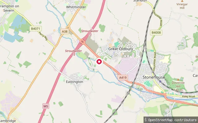
CanalEastington Slipway
Gloucestershire, EnglandEastington Slipway launches onto a restored, non-tidal stretch of the Stroudwater Navigation on the western Cotswold Canals, immediately above Pike Lock. From here the water runs east through the Eastington lock flight towards Stonehouse, currently as far as the disused lift bridge at Bonds Mill.
 Sea
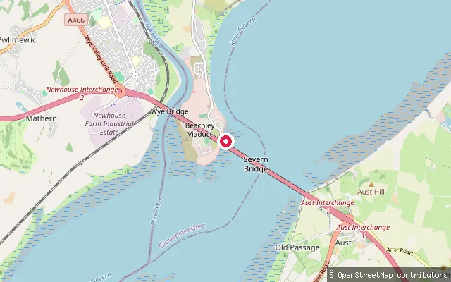
SeaBeachley Slipway
Gloucestershire, EnglandBeachley Slipway is a restored stone ramp on the Gloucestershire bank of the Severn Estuary, at the tip of the peninsula where the River Wye joins the Severn near the Severn bridges. It was the Aust car-ferry crossing point before the first Severn road bridge opened in 1966 and now serves paddlers launching informally onto the estuary. The Severn here carries one of the world's largest tidal ranges, so the mudflats and currents around the slip change quickly.
Save your own spots
Keep the places you launch, check the wind and shelter before you go, and log every paddle. Add a spot to the directory too, and other paddlers will find it. Free to start.
Some launch spots in this directory are seeded from open data. © OpenStreetMap contributors · Open Database Licence (ODbL) · Machine-readable copy