Paddleboarding spots in Suffolk
37 launch spots across Suffolk
Many inland waterways need a licence to paddle. Check with Paddle UK before you go.
Every mapped spot in Suffolk
Zoom in to split a cluster; open a pin for the spotMap of every spot in Suffolk
The interactive map opens on any device with JavaScript. The full list of launch spots is below.
Launch spots
Showing 24 of 37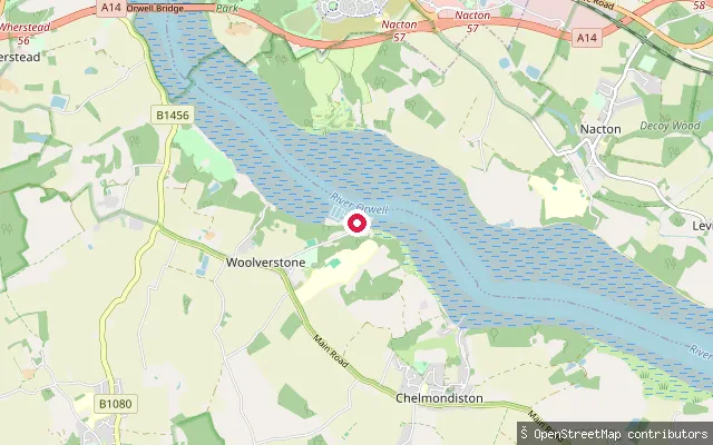 Sea
SeaWoolverstone put-in (Babergh)
Suffolk, EnglandThis slipway is at Woolverstone Marina on the River Orwell, on the west bank opposite Ipswich. The Royal Navy laid the original concrete slipway during the Second World War when Woolverstone Hall became HMS Woolverstone, and the marina still uses it today alongside a lifting dock and access pontoon.
 Sea
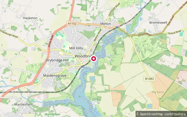
SeaRobertsons Boatyard slipway, Lime Kiln Quay
Suffolk, EnglandThis slipway at Lime Kiln Quay belongs to Robertsons Boatyard on the River Deben at Woodbridge, usable by trailer craft by prior arrangement for a daily fee. The yard sits on the west bank of the tidal estuary close to the town's Tide Mill.
 Sea
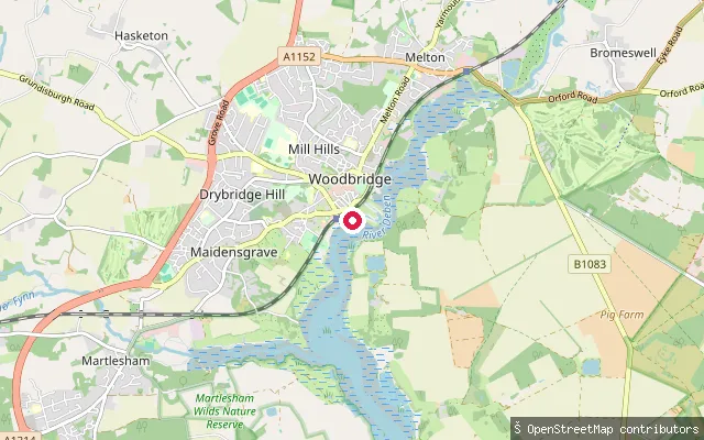
SeaWoodbridge riverside put-in
Suffolk, EnglandThis mapped slipway sits on the tidal River Deben on the approach to Woodbridge's boatyards and quays, between the southern riverside path and the Tide Mill area. No named operator for this exact point was confirmed.
 Sea
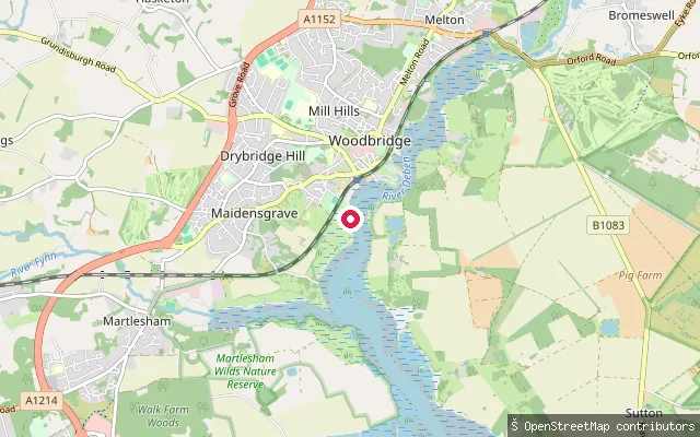
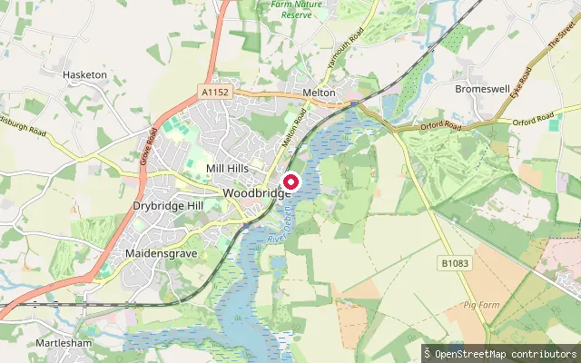
SeaWoodbridge riverside put-in (south)
Suffolk, EnglandThis mapped slipway lies on the west bank of the tidal River Deben south of Woodbridge town centre, on the riverside path toward Kyson Point. No named facility or operator for this exact point was confirmed.
 Sea
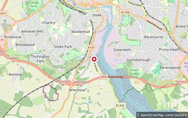
SeaWoodbridge waterfront put-in
Suffolk, EnglandThis mapped slipway sits on the River Deben's tidal estuary at Woodbridge, close to the town's quays, Tide Mill and Tidemill Yacht Harbour. No specific named operator for this exact point was confirmed.
 Sea
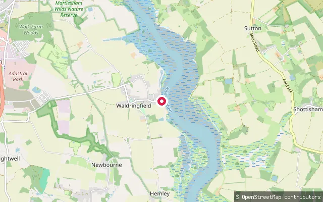
SeaWherstead put-in (Babergh)
Suffolk, EnglandThis slipway serves Orwell Yacht Club on Ostrich Creek, a tidal inlet off the River Orwell near Bourne Bridge, Wherstead, which the club shares with Fox's Marina. The nearby Oyster Reach pub takes its name from the historic oyster beds on this reach of the river.
 Sea
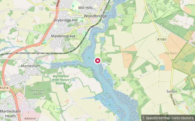
SeaWaldringfield slipway
Suffolk, EnglandA small slipway sits on the Deben estuary at Waldringfield, between the Maybush Inn and the village boatyard, with pay-and-display parking behind the pub. Waldringfield Sailing Club's own slip further along the shingle beach is private and not available for public launching.
 Sea
SeaSutton put-in (River Deben)
Suffolk, EnglandThis mapped slipway lies on the east bank of the tidal River Deben in Sutton parish, near Methersgate. The nearest named quay in this stretch, Methersgate Quay, is privately owned with no public landing, so the exact access status of this specific point could not be confirmed.
 River
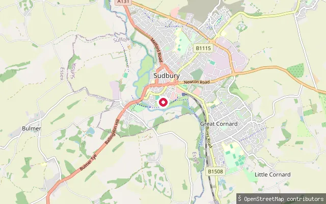
RiverSudbury put-in (Babergh)
Suffolk, EnglandThis slipway on the River Stour at Sudbury is associated with the River Stour Trust, whose building has a slipway open for registered boats. Unpowered craft can travel the length of the Stour Navigation from Brundon Mill to Cattawade, subject to a 4 mph speed limit.
 River
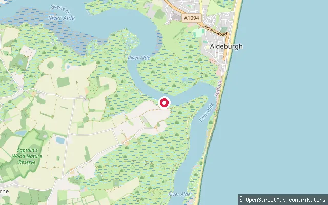
RiverSudbourne Marshes launch point, River Alde
Suffolk, EnglandA track-side point on the tidal River Alde at Sudbourne Marshes, on the opposite bank from Slaughden. The site lies close to a former ferry crossing between Sudbourne and Slaughden Quay recorded on a 1601 survey map and evidenced by the remains of a timber boat hard in the foreshore.
 Lake
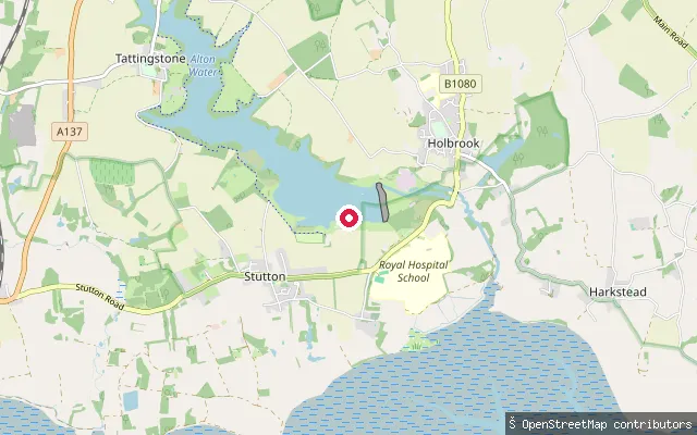
LakeStutton put-in (Babergh)
Suffolk, EnglandThis slipway serves Alton Water, a reservoir on the Shotley peninsula near Stutton, close to the Alton Water Sports Centre on Holbrook Road. The centre hires out canoes, kayaks, rowing boats, stand-up paddleboards, dinghies and windsurfers.
 Sea
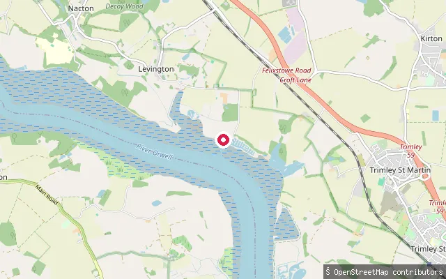
SeaStratton Hall put-in (East Suffolk)
Suffolk, EnglandThis slipway sits on the Orwell Estuary shoreline near Stratton Hall, close to Levington. Stratton Hall is a hamlet rather than a body of water, and this tidal reach of the River Orwell is used mostly by sailing craft heading to and from the yacht harbour nearby.
 Sea
SeaSouthwold put-in (East Suffolk)
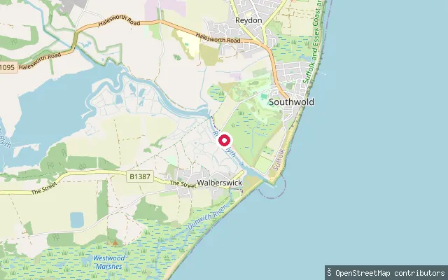
Suffolk, EnglandThis slipway lies within Southwold Harbour, the tidal estuary mouth of the River Blyth and still an active fishing harbour. It sits close to the rowing ferry crossing to Walberswick, and the Southwold Harbour byelaws require vessels using the harbour to report to the Harbour Master.
 Sea
SeaRamsholt Dock
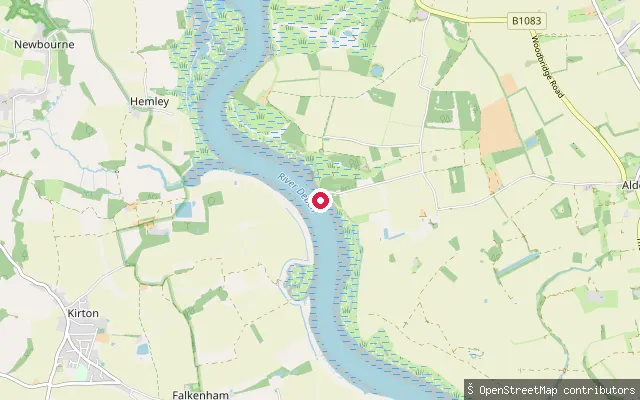
Suffolk, EnglandRamsholt Dock sits on a bend of the tidal River Deben estuary, below the isolated Ramsholt Arms pub. A concrete slipway runs down to the water and reaches the bottom except at low water springs, with the surrounding channel thick with moorings.
 Sea
SeaLake Lothing put-in (Lowestoft)
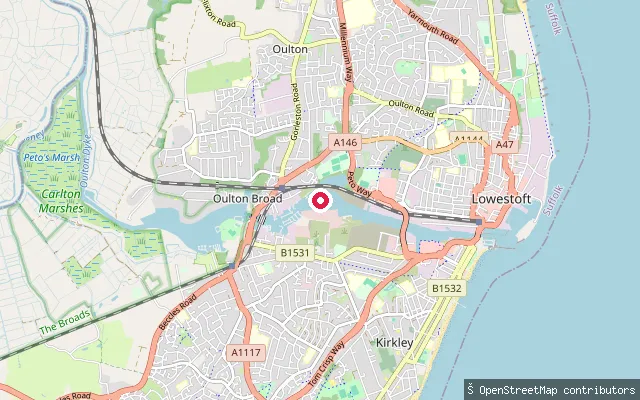
Suffolk, EnglandThis slipway sits on Lake Lothing, a tidal saltwater lake in Lowestoft that forms part of the Port of Lowestoft and flows out to the North Sea. Mutford Lock, close by at the lake's western end, links it to Oulton Broad and the Broads network.
 Lake
LakeOulton Broad put-in (East Suffolk)
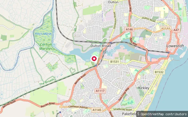
Suffolk, EnglandThis slipway sits further east along Oulton Broad's northern shore, near the Oulton Broad Yacht Station. The yacht station provides a slipway for launching and recovering small craft on the broad.
 River
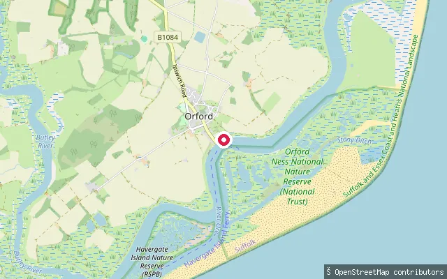
RiverOrford Sailing Club slipway, River Ore
Suffolk, EnglandA slipway on the tidal River Ore at Orford, fronting Orford Sailing Club's dinghy park close to Orford Quay. The New Orford Town Trust holds the riverbed and foreshore here by Royal Charter and acts as harbour authority, requiring a valid launch licence or daily fee to use the Quay slipway.
 Sea
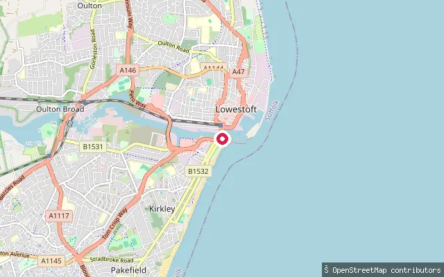
SeaLowestoft Harbour put-in (South Basin)
Suffolk, EnglandThis slipway lies in the South Basin of Lowestoft Harbour, a tidal harbour on the Suffolk coast that forms part of the Port of Lowestoft. OpenStreetMap marks it as a small craft facility for launching and recovering boats.
 Lake
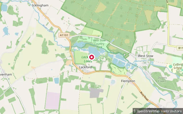
LakeLackford put-in (West Suffolk)
Suffolk, EnglandLackford Lakes is a chain of former sand and gravel pits in the River Lark valley near Bury St Edmunds, managed by Suffolk Wildlife Trust as a nature reserve and Site of Special Scientific Interest for its wintering wildfowl and breeding birds. The trust states it does not allow fishing on its reserves to limit disturbance to wildlife.
 Sea
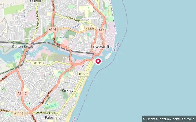
SeaJet Adventures Lowestoft South Pier
Suffolk, EnglandThis slipway near South Pier is the launch point used by Jet Adventures, a Lowestoft operator running RIB rides and jet boat trips out of Lowestoft Harbour. It sits within the tidal harbour that forms the Port of Lowestoft.
 River
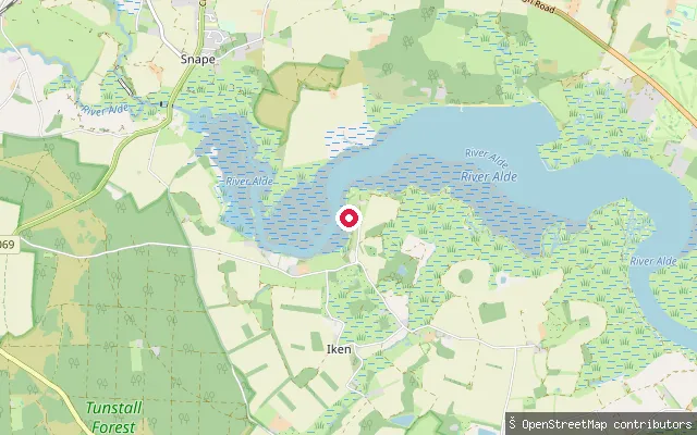
RiverIken Cliff launch point, River Alde
Suffolk, EnglandA launch point on the upper tidal River Alde at Iken Cliff, between Snape and Aldeburgh, reached on foot from the Iken picnic site. The commercial operator Iken Canoe hires canoes, kayaks and paddleboards from a boatshed on this stretch, timing sessions around the tide because the mudflats can cut off the water's edge at lower states.
 Sea
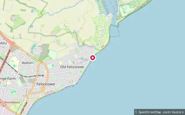
SeaFelixstowe put-in (East Suffolk)
Suffolk, EnglandThis concrete slipway on the Felixstowe seafront, north of the town centre, is tagged as free public access to the open North Sea coast. This stretch of beach is mostly sand and shingle, and its quieter northern end is used for swimming, kayaking, canoeing and windsurfing.
 Sea
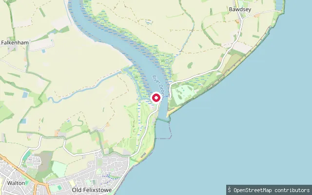
SeaFelixstowe Ferry slipway
Suffolk, EnglandA concrete slipway at Felixstowe Ferry drops onto the River Deben right at its tidal mouth, reached from the car park by the cafe. The entrance channel here shifts seasonally over a sandbar, with an ebb current that can run to around 6 knots, so crossing is best made from half-flood to high water.
 Sea
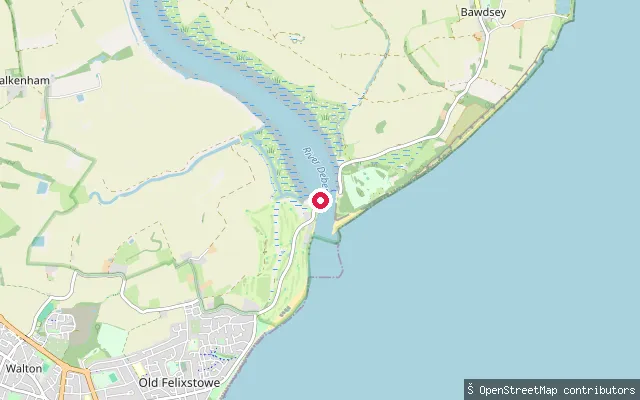
SeaFelixstowe put-in (East Suffolk)
Suffolk, EnglandThis slipway is at Felixstowe Ferry, a hamlet at the mouth of the River Deben about two miles northeast of Felixstowe, where sea defences line the waterfront and a seasonal passenger ferry crosses to Bawdsey. Felixstowe Ferry Sailing Club says launching is possible at any state of tide, either in front of the club or from the public slipway reached by road.
Save your own spots
Keep the places you launch, check the wind and shelter before you go, and log every paddle. Add a spot to the directory too, and other paddlers will find it. Free to start.
Some launch spots in this directory are seeded from open data. © OpenStreetMap contributors · Open Database Licence (ODbL) · Machine-readable copy