Paddleboarding spots in Worcestershire
14 launch spots across Worcestershire
Many inland waterways need a licence to paddle. Check with Paddle UK before you go.
Every mapped spot in Worcestershire
Zoom in to split a cluster; open a pin for the spotMap of every spot in Worcestershire
The interactive map opens on any device with JavaScript. The full list of launch spots is below.
Launch spots
Showing 14 of 14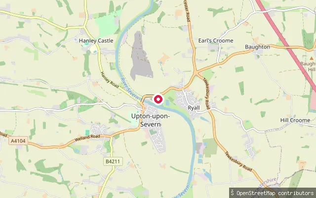 River
RiverUpton-upon-Severn put-in (Malvern Hills)
Worcestershire, EnglandThis slipway on the River Severn at Upton-upon-Severn is tagged fee=yes in OpenStreetMap and sits at Upton Marina on the town's west bank, home to Mercia Inshore Search and Rescue.
 River
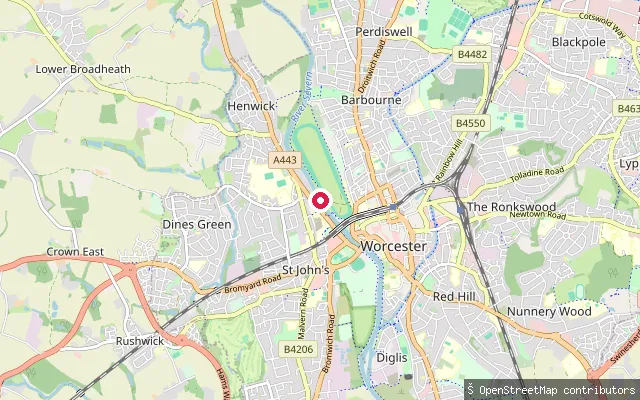
RiverSt Clements put-in (Worcester)
Worcestershire, EnglandThis River Severn slipway south of Worcester city centre sits within a rowing club's grounds according to OpenStreetMap's edit history, rather than being an open public put-in.
 River
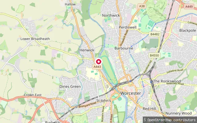
RiverPitchcroft canoe put-in (Worcester)
Worcestershire, EnglandThis is a dedicated canoe launch point on the River Severn at Pitchcroft, the open grassland beside Worcester Racecourse just north of the city centre, tagged canoe=put_in in OpenStreetMap.
 River
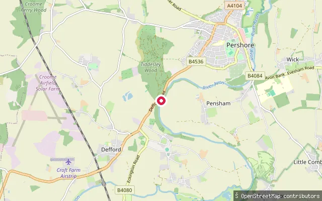
RiverPershore put-in (Wychavon)
Worcestershire, EnglandPershore sits on the River Avon in the Vale of Evesham. The Wychavon Kayak and Canoe Club is based at the town's Riverside Centre on this stretch of the river.
 River
RiverHolt Fleet slipway (Ombersley)
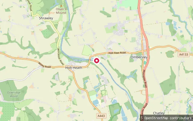
Worcestershire, EnglandHolt Fleet is a Severn-side hamlet within Ombersley parish where Thomas Telford's 1828 bridge crosses the river. OpenStreetMap names this surveyed slipway "Holt Fleet slipway".
 River
RiverNortonside Farm put-in (Wychavon)
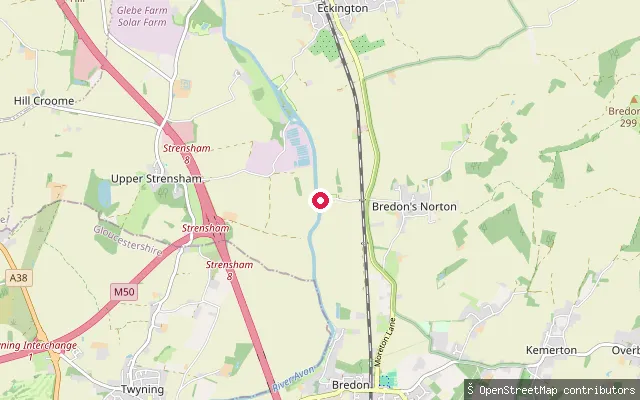
Worcestershire, EnglandThis slipway sits on the Warwickshire Avon near Bredon's Norton, a small Worcestershire village on the river a few miles upstream of Tewkesbury.
 Lake
LakeArrow Valley Lake slipway (Redditch)
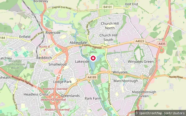
Worcestershire, EnglandArrow Valley Lake is a 27-acre lake in Arrow Valley Country Park, Redditch, created in the 1970s by damming the River Arrow. This OpenStreetMap-mapped slipway sits on the lake's western shore near the Boathouse Cafe, one of several closely spaced launch points used alongside Redditch Sailing Club's dinghy racing.
 River
RiverKempsey put-in (Malvern Hills)
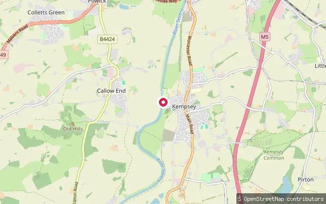
Worcestershire, EnglandKempsey is a Severn-side village in the Malvern Hills district, bounded by the river along its western edge. This slipway is tagged leisure=slipway in OpenStreetMap with no access restriction recorded.
 Canal
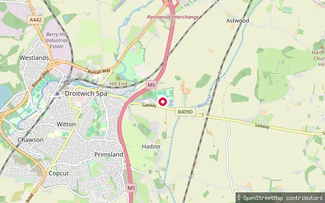
CanalDroitwich Spa Marina put-in (Hanbury Wharf)
Worcestershire, EnglandThis point sits inside Droitwich Spa Marina's harbour basin at Hanbury Wharf, where the Droitwich Junction Canal meets the Worcester and Birmingham Canal. OpenStreetMap maps the marina's water perimeter, including its piers and grassed areas.
 River
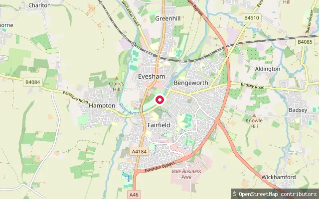
RiverEvesham Rowing Club slipway
Worcestershire, EnglandThis slipway and quay on Lime Avenue in the Fairfield area of Evesham serve as the launch area for Evesham Rowing Club, on the non-tidal River Avon (the Warwickshire Avon) between the River Severn at Tewkesbury and the Stratford-upon-Avon Canal. The Avon Navigation Trust's bylaws require a licence for craft using this stretch.
 River
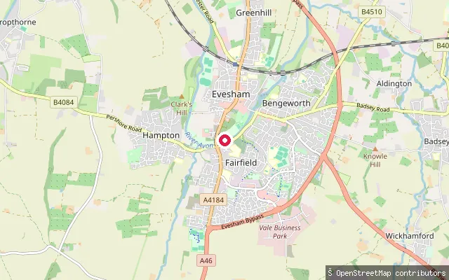
RiverWaterside slipway (Evesham)
Worcestershire, EnglandThis slipway lies on Waterside, on the Fairfield bank of the River Avon (the Warwickshire Avon) in Evesham, on the non-tidal navigable stretch between the River Severn at Tewkesbury and the Stratford-upon-Avon Canal. The Avon Navigation Trust's bylaws require a licence for craft using this stretch.
 River
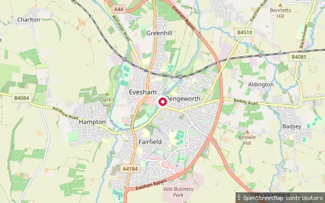
RiverMortimers Quay slipway (Evesham)
Worcestershire, EnglandThe River Avon (the Warwickshire Avon, distinct from the Bristol Avon) runs through Evesham on its non-tidal navigable course between the River Severn at Tewkesbury and the Stratford-upon-Avon Canal. This slipway sits at Mortimers Quay on the Bengeworth bank. The Avon Navigation Trust's bylaws require a licence for all craft on this stretch, including unpowered small craft.
 Canal
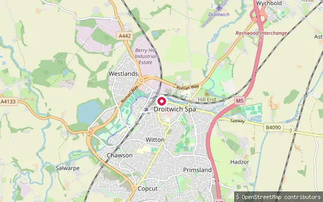
CanalDroitwich Spa put-in (Wychavon)
Worcestershire, EnglandThis slipway sits on the Droitwich Canal close to Vines Park in Droitwich Spa, where a mooring basin was built into the restored barge canal in the 1980s. The Canal & River Trust now owns and manages the waterway.
 River
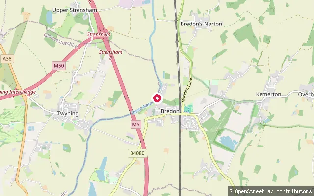
RiverBredon put-in (Wychavon)
Worcestershire, EnglandBredon is a Wychavon village on the banks of the River Avon, which forms the parish's western boundary. This OpenStreetMap slipway is grouped with ways for a nearby marina and caravan site on the river.
Save your own spots
Keep the places you launch, check the wind and shelter before you go, and log every paddle. Add a spot to the directory too, and other paddlers will find it. Free to start.
Some launch spots in this directory are seeded from open data. © OpenStreetMap contributors · Open Database Licence (ODbL) · Machine-readable copy