Paddleboarding spots in Merseyside
14 launch spots across Merseyside
This weekend’s calmest picks in Merseyside
See the ranked launch spots for the best conditions this weekend
Many inland waterways need a licence to paddle. Check with Paddle UK before you go.
Every mapped spot in Merseyside
Zoom in to split a cluster; open a pin for the spotMap of every spot in Merseyside
The interactive map opens on any device with JavaScript. The full list of launch spots is below.
Launch spots
Showing 14 of 14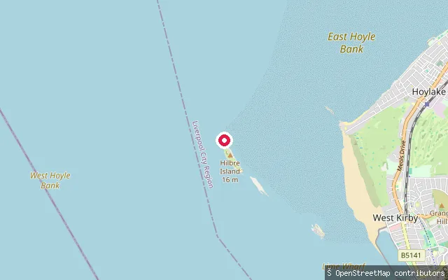 Sea
SeaHilbre Island slipway
Merseyside, EnglandA slipway on Hilbre Island itself, at the mouth of the Dee Estuary off West Kirby, reached on foot or by boat only within the tidal window either side of low water. The island and its neighbours, Middle Eye and Little Eye, form part of the Hilbre Islands Local Nature Reserve, managed by Wirral Council.
 Sea
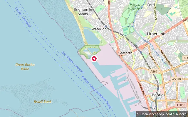
SeaWaterloo put-in (Crosby)
Merseyside, EnglandThis slipway is at the Waterloo end of Crosby Beach, where the sand meets Liverpool Bay close to the Port of Liverpool's Seaforth and Gladstone docks. The beach is permanently red-flagged for swimming and RNLI guidance warns of shifting deep mud and a fast-rising tide across the flats.
 Canal
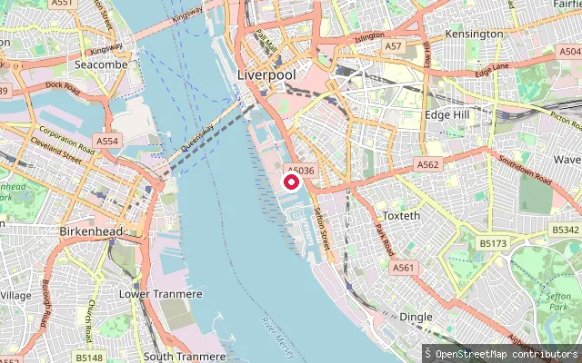
CanalCoburg Dock put-in (Liverpool)
Merseyside, EnglandThis slipway sits at Keel Wharf on Coburg Dock, part of Liverpool's Canal & River Trust-managed South Docks next to Liverpool Marina. Paddling here needs Trust authorisation; Liverpool Canoe Club runs supervised sessions from a compound elsewhere on the same dock.
 Sea
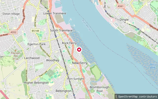
SeaRock Ferry put-in (New Ferry)
Merseyside, EnglandThis slipway on The Esplanade at Rock Ferry is part of the historic Rock Ferry Slipway on the Wirral shore of the Mersey Estuary, built in 1820 to let passengers board the Rock Ferry to Liverpool ferry at any state of the tide. It remains in use today by the Royal Mersey Yacht Club and Tranmere Sailing Club.
 Sea
SeaNew Brighton put-in (Wallasey)
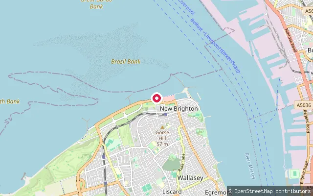
Merseyside, EnglandThis slipway sits further west along New Brighton's Ian Fraser Walk promenade, on the same open Liverpool Bay shoreline as the town's other launch points. Another mapped slipway lies about 75 metres away, so this may be the same access point recorded twice by the harvester.
 Sea
SeaNew Brighton put-in (Wallasey)
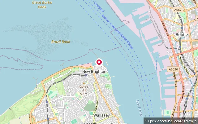
Merseyside, EnglandThis slipway is on the New Brighton promenade at the northern tip of the Wirral, where the Mersey Estuary opens into Liverpool Bay near Fort Perch Rock. New Brighton's RNLI lifeboat crew, on station since 1863, cover the Wirral and Sefton shorelines either side of the river mouth.
 Sea
SeaMeols put-in (Hoylake)
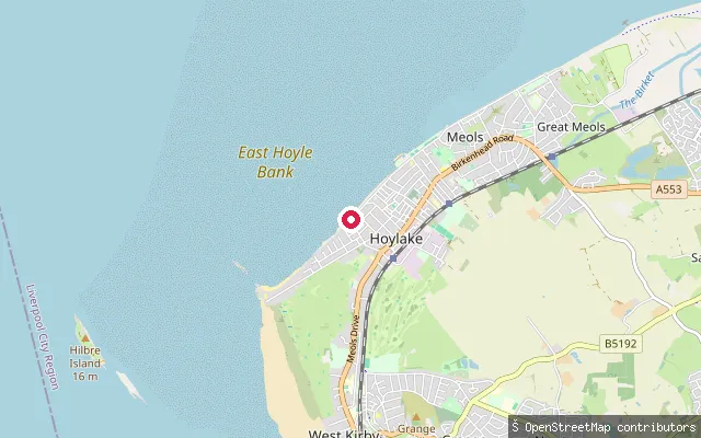
Merseyside, EnglandThis put-in launches onto Liverpool Bay, part of the Irish Sea, from Hoylake's seafront. The beach fronts Hoyle Bank, a large offshore sandbank that historically sheltered a natural anchorage known as Hoyle Lake.
 Sea
SeaMeols put-in (Hoylake)
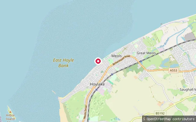
Merseyside, EnglandThis put-in launches onto Liverpool Bay, part of the Irish Sea, from Hoylake's seafront. The beach fronts Hoyle Bank, a large offshore sandbank that historically sheltered a natural anchorage known as Hoyle Lake.
 Sea
SeaLeasowe put-in
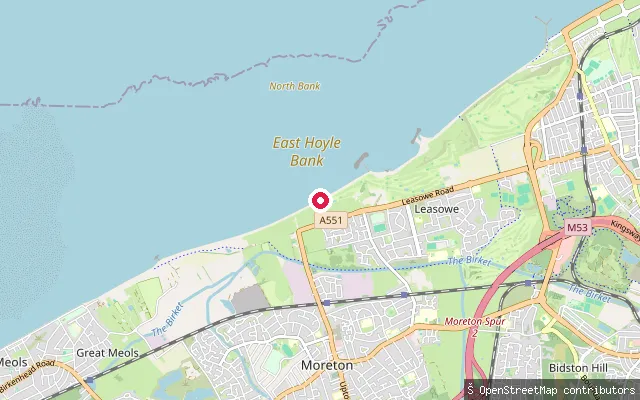
Merseyside, EnglandThis slipway launches onto Liverpool Bay, part of the Irish Sea, on the North Wirral shore at Leasowe. The foreshore here forms part of the Mersey Narrows and North Wirral Foreshore SSSI and Ramsar site, backed by Leasowe's dune system and the coastal embankment.
 Sea
SeaGrange put-in (West Kirby)
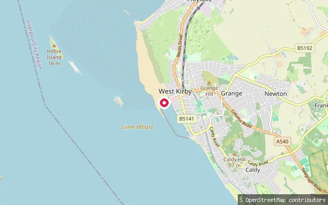
Merseyside, EnglandThe Dee Estuary runs between the Wirral peninsula and the north Wales coast to Liverpool Bay, and carries one of the largest tidal ranges in Britain. This launch is a Wirral Council slipway on the Wirral shore at West Kirby, at the south end of the Marine Lake and close to the tidal Hilbre Islands.
 Sea
SeaGrange put-in (West Kirby)
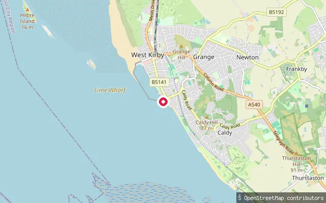
Merseyside, EnglandA Wirral Council slipway onto the Dee Estuary shore at the south end of West Kirby Marine Lake, known as the Sandy Lane slipway in the Grange and South Parade area of West Kirby. The shore dries extensively at low water, with the limit of low-water navigation around a nautical mile offshore on this side of the estuary, and launching here is generally only practical within about two hours either side of high tide.
 Sea
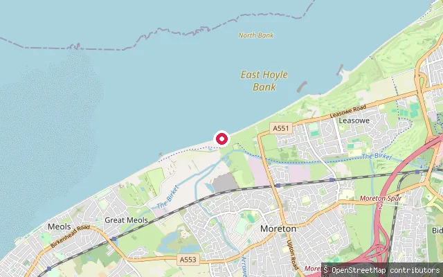
SeaCarr Houses put-in (Moreton)
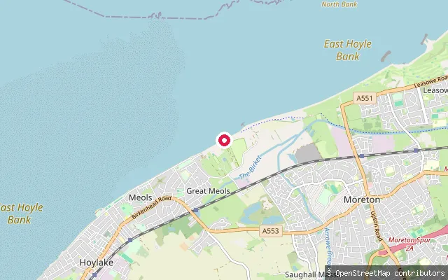
Merseyside, EnglandThis slipway launches onto Liverpool Bay, part of the Irish Sea, on the North Wirral shore between Carr Houses and Great Meols. The foreshore here lies within the Mersey Narrows and North Wirral Foreshore SSSI and Ramsar site, close to its western boundary at Dove Point.
 Sea
SeaCarr Houses put-in (Moreton)
Merseyside, EnglandThis slipway launches onto Liverpool Bay, part of the Irish Sea, on the North Wirral shore near Carr Houses, a hamlet within Moreton. The foreshore is within the Mersey Narrows and North Wirral Foreshore SSSI and Ramsar site.
 Sea
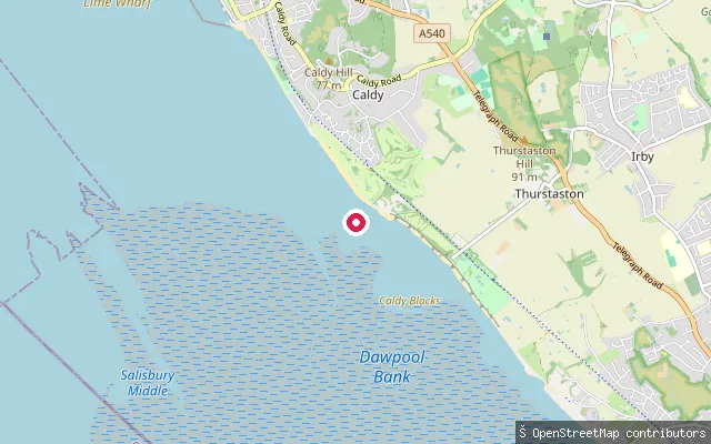
SeaCaldy put-in
Merseyside, EnglandThis slipway sits on the Dee Estuary shore below Caldy on the Wirral peninsula, close to the Dee Sailing Club's launch track at the Caldy/Thurstaston boundary, looking across the water to the Welsh coast and the Clwydian hills beyond. The shore here dries to sand and mud at low water, so launching is generally only practical within about two hours either side of high tide. The estuary is a Site of Special Scientific Interest, Special Protection Area, Special Area of Conservation and Ramsar site for its wintering wading birds.
Save your own spots
Keep the places you launch, check the wind and shelter before you go, and log every paddle. Add a spot to the directory too, and other paddlers will find it. Free to start.
Some launch spots in this directory are seeded from open data. © OpenStreetMap contributors · Open Database Licence (ODbL) · Machine-readable copy