Paddleboarding spots in Isle of Wight
65 launch spots across Isle of Wight
This weekend’s calmest picks in Isle of Wight
See the ranked launch spots for the best conditions this weekend
Many inland waterways need a licence to paddle. Check with Paddle UK before you go.
Every mapped spot in Isle of Wight
Zoom in to split a cluster; open a pin for the spotMap of every spot in Isle of Wight
The interactive map opens on any device with JavaScript. The full list of launch spots is below.
Launch spots
Showing 24 of 65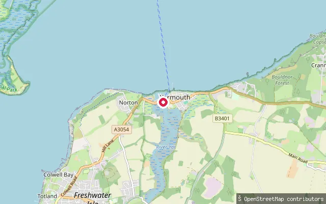 Sea
SeaYarmouth put-in
Isle of Wight, EnglandThis slipway is one of several public launch points around Yarmouth Harbour, where the western River Yar meets the Solent at the island's western tip. Yarmouth Harbour Commissioners ask users to contact the Harbour Office, or call on VHF Channel 68, for permission and to pay a fee before launching, and note that the harbour mouth carries heavy ferry and leisure traffic.
 Sea
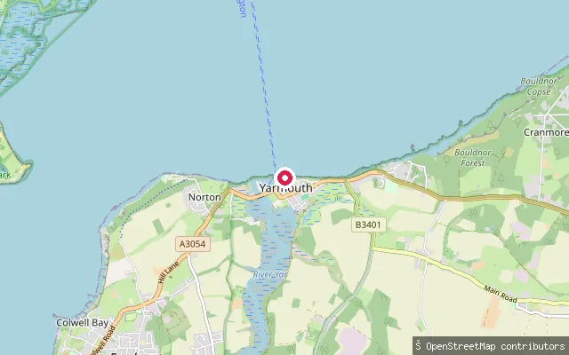
SeaYarmouth put-in
Isle of Wight, EnglandThis slipway is one of several public launch points around Yarmouth Harbour, where the western River Yar meets the Solent at the island's western tip. Yarmouth Harbour Commissioners ask users to contact the Harbour Office, or call on VHF Channel 68, for permission and to pay a fee before launching, and note that the harbour mouth carries heavy ferry and leisure traffic.
 Sea
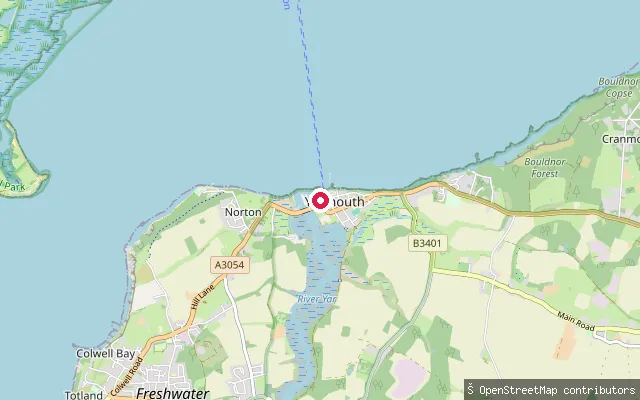
SeaYarmouth put-in
Isle of Wight, EnglandThis slipway is one of several public launch points around Yarmouth Harbour, where the western River Yar meets the Solent at the island's western tip. Yarmouth Harbour Commissioners ask users to contact the Harbour Office, or call on VHF Channel 68, for permission and to pay a fee before launching, and note that the harbour mouth carries heavy ferry and leisure traffic.
 Sea
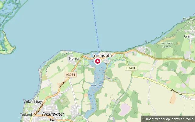
SeaYarmouth put-in
Isle of Wight, EnglandThis slipway is on Bridge Road in Yarmouth, close to Yar Bridge where the Western Yar's tidal estuary meets the Solent to form Yarmouth Harbour. Yarmouth Harbour Commissioners ask paddlers to contact the Harbour Office by phone or VHF for permission and a fee before using a slipway within the harbour.
 Lake
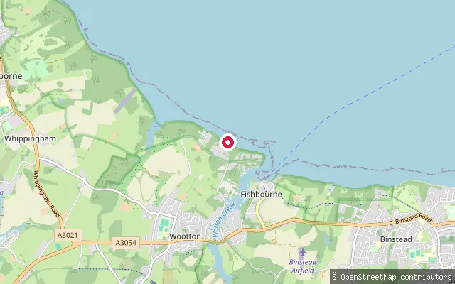
LakeWootton Bridge put-in
Isle of Wight, EnglandThis put-in is on Wootton Millpond, the still water impounded above Wootton Bridge by a sluice gate on Wootton Creek. The pond is part of a Special Area of Conservation and is noted for its wildfowl and bats, unlike the tidal, drying creek downstream of the bridge.
 Sea
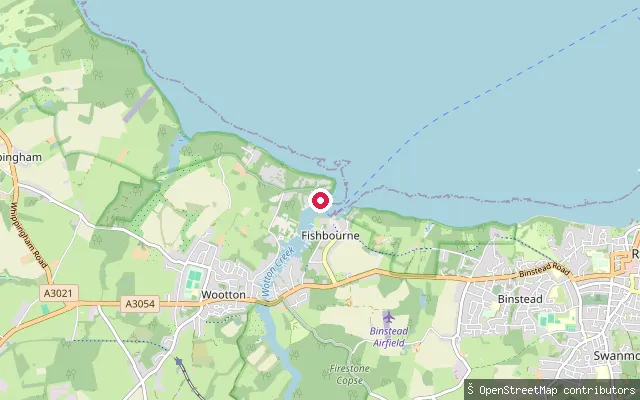
SeaWootton Bridge put-in
Isle of Wight, EnglandThis slipway is at Wootton Bridge, where the road bridge crosses the head of Wootton Creek. A public slipway here, between the Sloop Inn and the bridge on the west bank, is the council's landing point for the head of the tidal creek.
 Sea
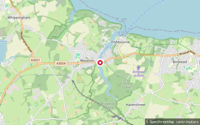
SeaWootton Bridge put-in
Isle of Wight, EnglandWootton Creek is a tidal inlet on the Isle of Wight's north coast running from the Solent, past the Fishbourne car ferry terminal, about half a mile inland to Wootton Bridge village. This slipway sits on the creek's west bank a few dozen metres from the Sloop Inn on Mill Square, close to where Isle of Wight Council's public slipway register places its recommended dinghy launching point by the bridge.
 Sea
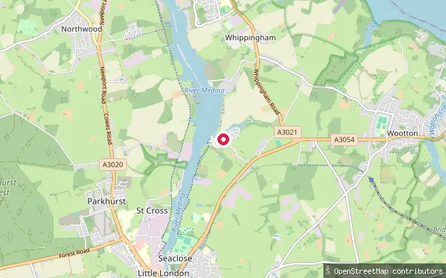
SeaWhippingham put-in
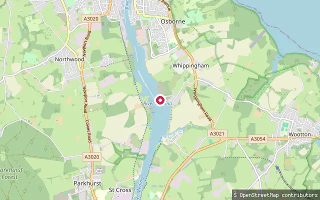
Isle of Wight, EnglandThis slipway lies close to the Folly Inn on the west bank of the River Medina, roughly midway between Cowes and Newport. The Medina Mariners Association's dinghy park backs onto a concrete public slipway here, with launching possible at virtually all states of tide and racking for kayaks near the slipway access.
 Sea
SeaWhippingham put-in
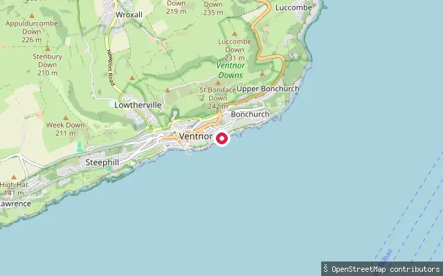
Isle of Wight, EnglandThis launch point lies on the west bank of the tidal River Medina at Whippingham, within Cowes Harbour Commission's jurisdiction, which runs from Cowes south to the Folly. The Medina is tidal as far as Newport, and this stretch forms part of the wider Medina Estuary between Newport and the Solent at Cowes.
 Sea
SeaWheelers Bay slipway
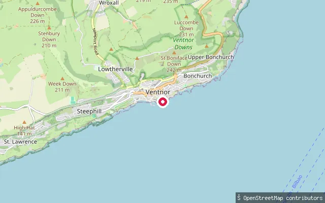
Isle of Wight, EnglandWheelers Bay is a small bay east of Ventnor, reached along the seawall from Ventnor or Horseshoe Bay, or down a concrete slope from the road above. The beach is sand and shingle at low water, disappearing under the seawall at high tide.
 Sea
SeaVentnor Bay slipway (east esplanade)
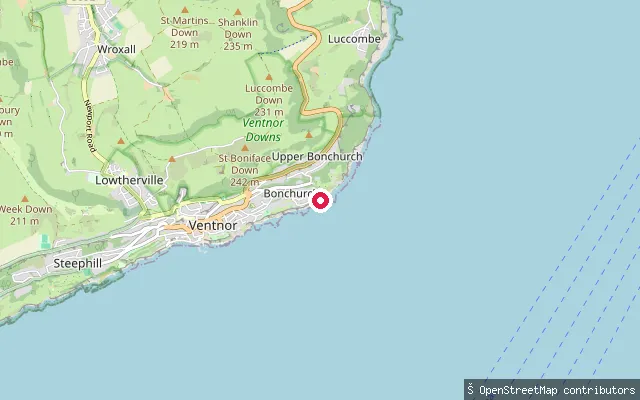
Isle of Wight, EnglandThis slipway sits on Ventnor's Eastern Esplanade, on the stretch of Ventnor Bay between Ventnor Haven and Wheelers Bay. A wide concrete esplanade and seawall run along this section of coast.
 Sea
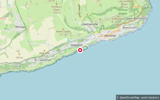
SeaMonks Bay slipway (Bonchurch)
Isle of Wight, EnglandMonks Bay is a sand and shingle beach just east of Bonchurch village, reached down Shore Road with limited parking near the seafront. A large expanse of sand is exposed as the tide goes out, and a series of rock breakwaters hold the sand in place.
 Sea
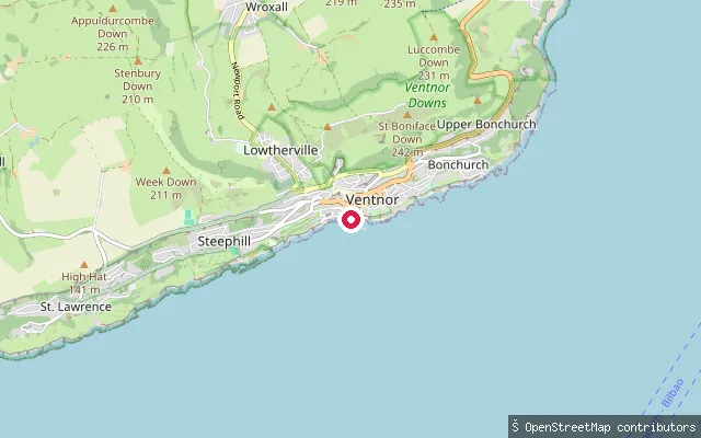
SeaSteephill Cove slipway (Love Lane)
Isle of Wight, EnglandSteephill Cove is a small, car-free fishing cove just south of Ventnor, reached on foot down Love Lane or along the coast path from Ventnor Botanic Garden. A concrete ramp used by the cove's fishing boats sits alongside a sandy beach, with a seasonal cafe close by.
 Sea
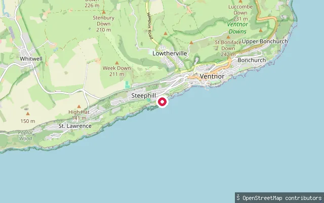
SeaVentnor Haven west slipway (pedestrian)
Isle of Wight, EnglandThis slipway sits at the west side of Ventnor Haven, the small tidal harbour on Ventnor's eastern esplanade. The OSM record for this specific ramp notes it for pedestrian use only, distinct from the main boat-launching slipway roughly 100 m to the east.
 Sea
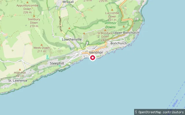
SeaCastle Cove slipway
Isle of Wight, EnglandCastle Cove is a small, quieter cove between Steephill Cove and Ventnor's main beach, reached along the seawall promenade or coast path. It has a seasonal beach hut and crab shack and is used as an alternative when Steephill Cove is busy.
 Sea
SeaVentnor Haven Slipway
Isle of Wight, EnglandVentnor Haven Slipway is the main tidal launch ramp in Ventnor Haven, the small harbour on Ventnor's Eastern Esplanade. It is free to use for launch and recovery, and the harbour dries out completely at low water.
 Sea
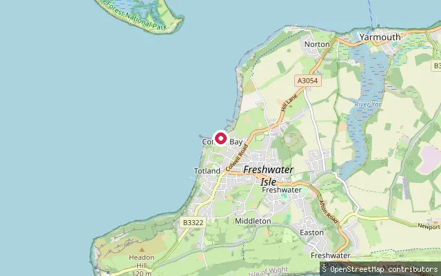
SeaTotland put-in
Isle of Wight, EnglandThis slipway launches into Colwell Bay, a sand-and-shingle beach on the western Solent coast between Yarmouth and Totland. The bay is fully tidal, with little or no beach left at high water, so the slipway becomes the main access point as the tide rises.
 Sea
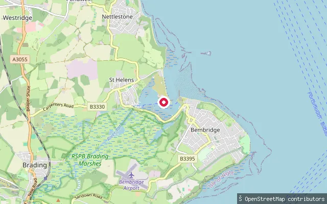
SeaSt. Helens put-in
Isle of Wight, EnglandThis slipway is on St Helen's Beach Promenade at St Helens, on the Solent shore next to the spit that forms the entrance to Bembridge Harbour. The beach is sheltered by Bembridge Ledge, giving calm, flat water at low tide, and a seasonal cafe and board hire operate nearby.
 Sea
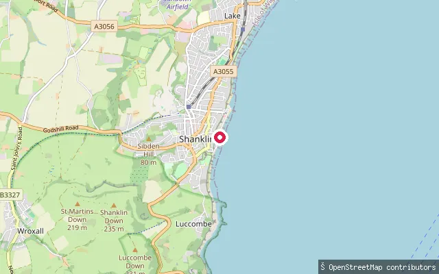
SeaShanklin put-in
Isle of Wight, EnglandA slipway near the southern end of Shanklin's esplanade on Sandown Bay, close to Shanklin Chine and the thatched Fisherman's Cottage pub at the foot of the chine.
 Sea
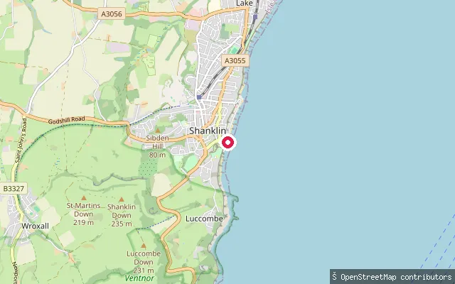
SeaPalestine Slipway
Isle of Wight, EnglandPalestine Slipway sits at a small roundabout at the southern tip of Shanklin's esplanade on Sandown Bay, with a cafe by the launch selling ice cream and takeaway food.
 Sea
SeaShanklin put-in
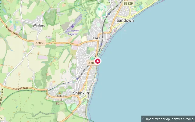
Isle of Wight, EnglandThis slipway sits on a sea-wall revetment at the northern end of Shanklin's esplanade on Sandown Bay, close to Shanklin Sailing Club, which has raced small catamarans from Hope Road since 1931.
 Sea
SeaShanklin put-in
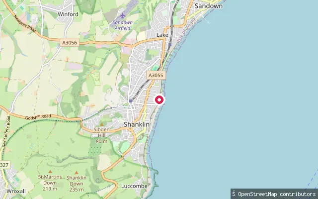
Isle of Wight, EnglandA slipway on Shanklin's esplanade on Sandown Bay, roughly midway between the town centre and Shanklin Chine at the southern end of the beach.
 Sea
SeaShanklin put-in
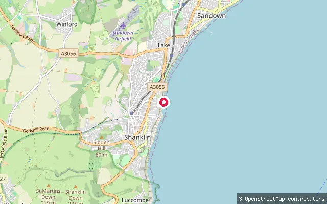
Isle of Wight, EnglandA slipway on Shanklin's esplanade above Hope Beach, part of the sand and shingle shoreline that Sandown Bay carries from Luccombe to Culver on the Isle of Wight's south-east coast.
 Sea
SeaShalfleet put-in
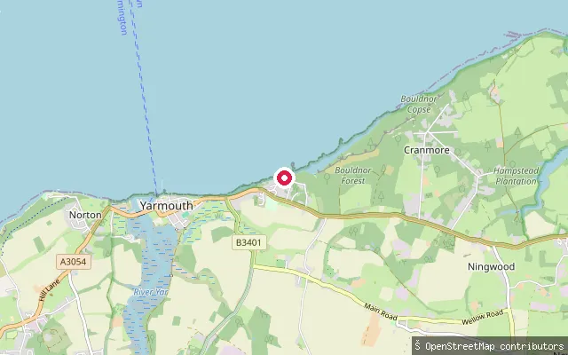
Isle of Wight, EnglandThis slipway is at Shalfleet Quay, on Shalfleet Lake, one of the tidal arms of Newtown River within Newtown National Nature Reserve. The seventeenth-century quay dries at low water and carries several feet of water at high tide, and there is no public car park at the quay itself.
Save your own spots
Keep the places you launch, check the wind and shelter before you go, and log every paddle. Add a spot to the directory too, and other paddlers will find it. Free to start.
Some launch spots in this directory are seeded from open data. © OpenStreetMap contributors · Open Database Licence (ODbL) · Machine-readable copy