Paddleboarding spots in Norfolk
53 launch spots across Norfolk
This weekend’s calmest picks in Norfolk
See the ranked launch spots for the best conditions this weekend
Many inland waterways need a licence to paddle. Check with Paddle UK before you go.
Every mapped spot in Norfolk
Zoom in to split a cluster; open a pin for the spotMap of every spot in Norfolk
The interactive map opens on any device with JavaScript. The full list of launch spots is below.
Launch spots
Showing 24 of 53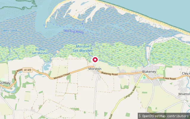 Sea
SeaMorston Quay hard
Norfolk, EnglandThis is the hard at Morston Quay, a few dozen metres from the quay's public slipway, on the tidal saltmarsh creek that flows out into Blakeney Channel and the North Sea beyond Blakeney Point. National Trust guidance for the site recommends paddlers launch canoes, kayaks and paddleboards from the hard rather than the adjacent slipway, which is kept for trailer boats.
 Lake
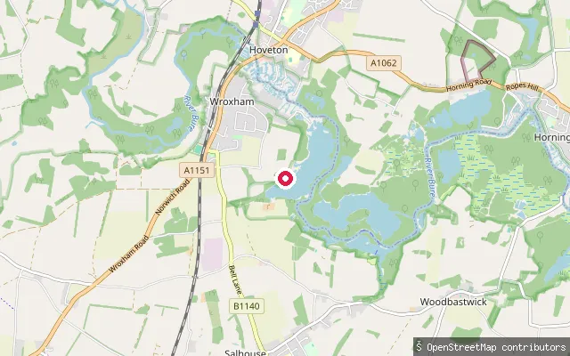
LakeWroxham put-in (Broadland)
Norfolk, EnglandThis slipway opens onto Wroxham Broad, an 85-acre broad beside the River Bure next to the Norfolk Broads Yacht Club, with two navigable openings connecting it to the main river. The Broads Authority charges an annual toll, covering canoes, kayaks and SUPs, for craft kept on its waters, though Paddle UK members are covered without a separate toll.
 Sea
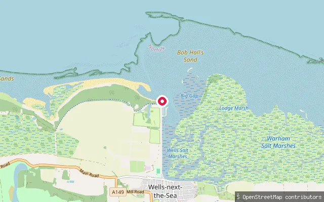
SeaWells Harbour slipway (Beach Road)
Norfolk, EnglandThis slipway lies a short distance from node/6615063814 near Beach Road at the seaward end of Wells Harbour, close to the RNLI lifeboat station, where the channel narrows on its way out past Wells beach to the North Sea. Wells Harbour Commissioners, the statutory harbour authority, regulate vessel movement and conduct here under the 1994 Harbour Revision Order.
 Sea
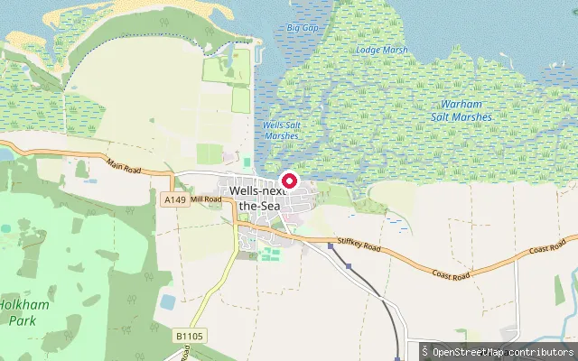
SeaWells Quay slipway
Norfolk, EnglandThis slipway is on Wells Quay in Wells-next-the-Sea, at the western end of the harbour frontage, where Wells Harbour is scoured by the tide rather than a river. Canoeing operators run guided trips through the creeks around the town, and the statutory harbour authority, Wells Harbour Commissioners, regulates vessel conduct here under the 1994 Harbour Revision Order.
 River
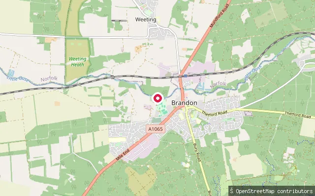
RiverWeeting-with-Broomhill put-in (Breckland)
Norfolk, EnglandThis slipway sits on the River Little Ouse at Broomhill, on the Norfolk bank directly across the river from Brandon in Suffolk, where the Little Ouse forms the county boundary. A lock built at Brandon in 1995 gives pound navigation roughly two and a half miles upstream towards Santon Downham and Thetford.
 Sea
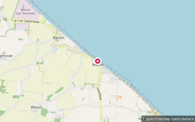
SeaWalcott put-in (North Norfolk)
Norfolk, EnglandThis slipway serves Walcott's main beach, on the one stretch of the North Norfolk coast road that runs directly alongside the sea. A concrete sea wall and wooden groynes protect the village, rebuilt after the 1953 North Sea flood destroyed much of Walcott, and a 2019 sandscaping scheme has since built up the beach here.
 Sea
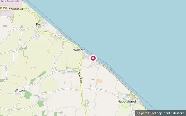
SeaWalcott put-in (North Norfolk)
Norfolk, EnglandThis slipway sits at the southern end of Walcott beach, an area of holiday cottages known locally as Ostend Beach. It shares Walcott's exposed North Sea frontage and the wooden groynes and concrete sea defences built after the 1953 flood.
 Sea
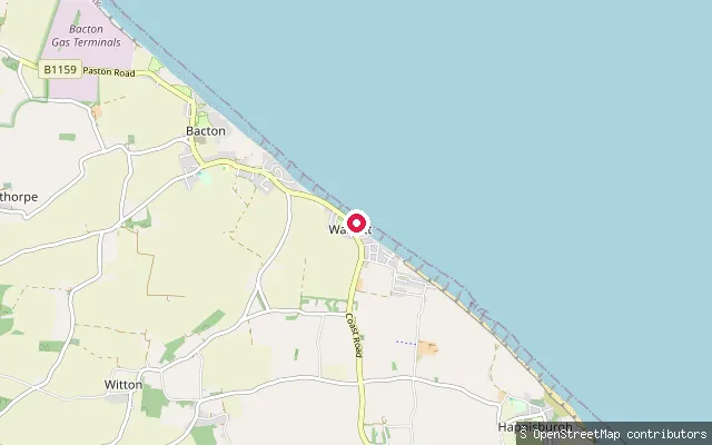
SeaWalcott Gap
Norfolk, EnglandWalcott Gap is a beach access point through the village's concrete sea defence, reached by steps over the wall directly from the coast road. Wooden groynes divide the sandy beach on either side, part of the sea defences rebuilt after Walcott was largely destroyed in the 1953 North Sea flood.
 River
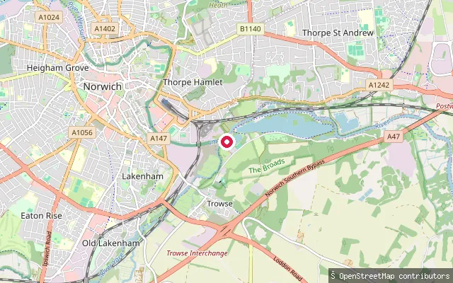
RiverCarrow Yacht Club slipway
Norfolk, EnglandA slipway on the River Yare at Trowse Eye, Norwich, where the Yare meets the River Wensum, used by Carrow Yacht Club. The club was founded in 1956 and its moorings give members access onto the wider Norfolk rivers and broads.
 River
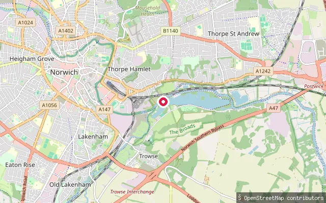
RiverCary's Meadow slipway (south)
Norfolk, EnglandThe southern end of an unnamed slipway ramp on the River Yare near Cary's Meadow, between Trowse and Thorpe St Andrew. No operator or access information could be found for this specific point beyond the OSM tagging.
 River
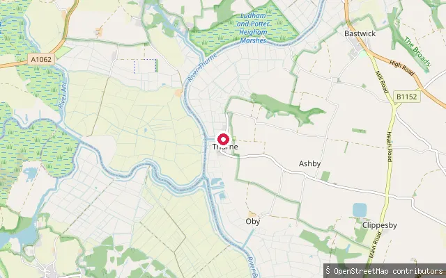
RiverThurne Dyke slipway
Norfolk, EnglandThis public slipway sits at the entrance to Thurne Dyke, a short channel leading from the River Thurne to the village of Thurne in the Norfolk Broads, marked by the white Thurne Drainage Pump windmill. The Broads Authority requires a toll for unpowered craft on this reach unless the paddler holds Paddle UK membership.
 River
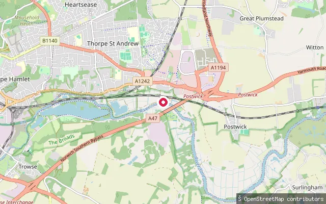
RiverGriffin Marine Boatyard slipway
Norfolk, EnglandA slipway on the River Yare at Thorpe St Andrew, on the Griffin Lane riverside, run by Griffin Marine Boatyard with parking on site. Thorpe St Andrew sits on the Yare about two miles east of central Norwich.
 River
RiverThetford put-in (Breckland)
Norfolk, EnglandThis slipway sits off Old Bury Road in central Thetford, on the River Thet a short way upstream of where it curves west to join the Little Ouse near Butten Island in the town centre.
 River
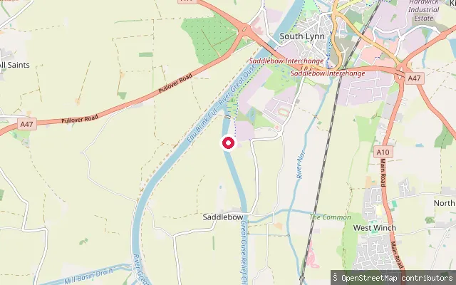
RiverWiggenhall St Germans slipway
Norfolk, EnglandA track-and-slipway access point onto the tidal River Great Ouse near Wiggenhall St Germans, south of King's Lynn, close to the Tail Sluice where the Great Ouse Relief Channel rejoins the tidal river. The Environment Agency requires registration for craft on this waterway, including canoes and other unpowered open boats.
 River
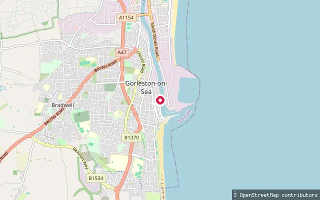
RiverSouthtown slipway (River Yare)
Norfolk, EnglandThis slipway launches onto the tidal River Yare on the Southtown bank, within the working Port of Great Yarmouth opposite Gorleston-on-Sea. The Great Yarmouth Port Authority prohibits small craft from the new outer harbour and asks vessels to monitor VHF channel 12, callsign 'Yarmouth Radio'.
 River
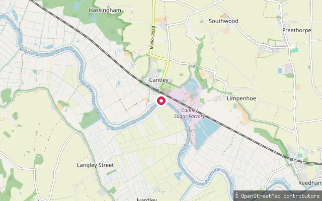
RiverCantley Staithe slipway
Norfolk, EnglandCantley Staithe's slipway gives access to the River Yare beside the British Sugar beet factory at Cantley, on the Norfolk Broads. The concrete slipway remains free for public use while the staithe's mooring pontoons are reserved for Cantley residents, and the staithe itself was rebuilt in 2010 by the parish council, the Broads Authority, British Sugar and Broadland Environmental Services.
 Sea
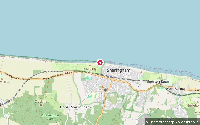
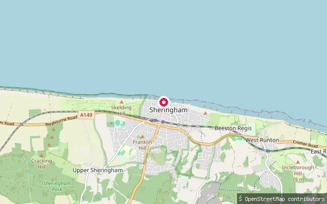
SeaSheringham put-in (North Norfolk)
Norfolk, EnglandThis put-in sits towards the western end of Sheringham promenade, near the Old Hythe, the site of the town's RNLI lifeboat station since a new boathouse and slipway were built there in 1904. Boats here are hauled onto the open North Sea beach by tractor, as the town has no harbour.
 Sea
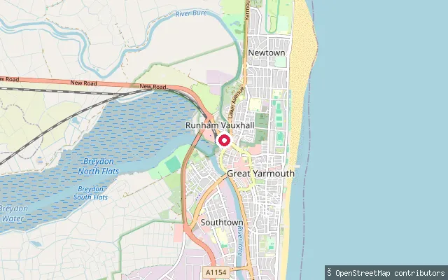
SeaSheringham put-in (North Norfolk)
Norfolk, EnglandPedestrian access to Sheringham beach here is via a ramp from Beach Road or through West Cliff Garden, onto the open North Sea coast below the town-centre promenade. The town has no harbour, so its fishing boats and its lifeboat are hauled up and down the sand by tractor.
 River
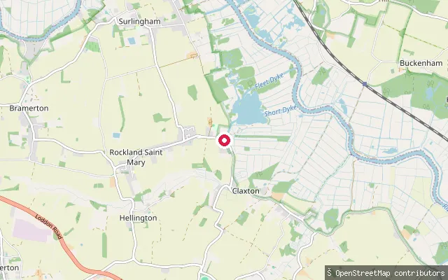
RiverRunham Vauxhall slipway
Norfolk, EnglandThis slipway launches onto the tidal River Bure at Runham Vauxhall, a suburb of Great Yarmouth close to Vauxhall Bridge and the town's railway station. The Broads Authority requires a toll for unpowered craft on this reach unless the paddler holds Paddle UK membership.
 Lake
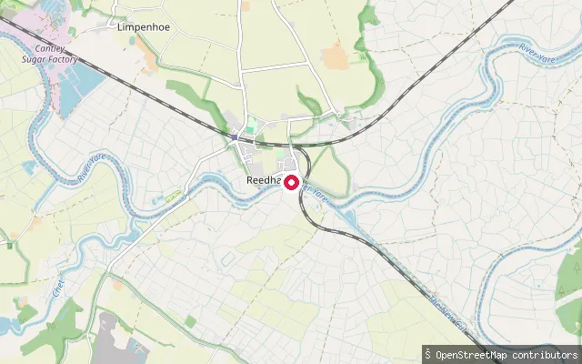
LakeRockland Staithe slipway ramp
Norfolk, EnglandThe concrete slipway ramp and service path at Rockland Staithe, Rockland St Mary, giving access to Rockland Broad by dyke and, beyond it, the River Yare.
 River
RiverReedham put-in (Broadland)
Norfolk, EnglandReedham sits on the River Yare, where the river becomes a wide, tidal reach on its way down to Breydon Water and the coast beyond Great Yarmouth. A chain car-and-passenger ferry crosses the river a short way upstream at Reedham Ferry.
 River
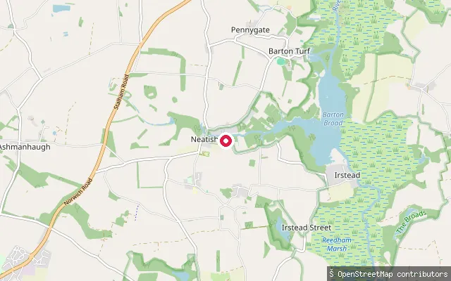
RiverParish Staithe
Norfolk, EnglandParish Staithe is Neatishead's public staithe on Limekiln Dyke, a narrow channel that leaves the River Ant near Barton Broad and dead-ends in the village. Free 24-hour moorings, water and rubbish disposal are available, and the village shop and the White Horse Inn are a five-to-ten-minute walk away.
 River
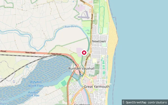
RiverTar Works Road slipway, Runham Vauxhall
Norfolk, EnglandThis slipway launches onto the tidal River Bure at Runham Vauxhall on the northern edge of Great Yarmouth, close to Great Yarmouth Yacht Station just above Vauxhall Bridge. The reach carries strong currents and a tidal range of over three feet below Stracey Arms, and the Broads Authority requires a toll for unpowered craft here unless the paddler holds Paddle UK membership.
 Sea
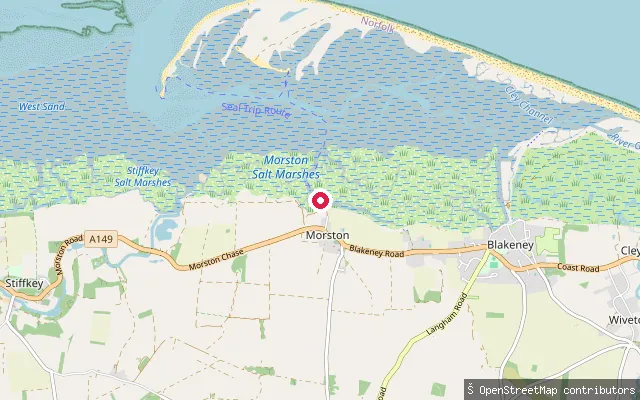
SeaMorston Quay slipway
Norfolk, EnglandMorston Quay sits on Morston Creek, the busiest and deepest of four channels feeding the tidal saltmarsh harbour behind Blakeney Point on the North Norfolk coast, within Blakeney National Nature Reserve. Most of the harbour, including much of Blakeney Pit, dries out at low water, and offshore the shingle spit of Blakeney Point shelters it from the North Sea. The Point is home to England's largest grey seal colony, whose pup count reached 8,946 in 2023.
Save your own spots
Keep the places you launch, check the wind and shelter before you go, and log every paddle. Add a spot to the directory too, and other paddlers will find it. Free to start.
Some launch spots in this directory are seeded from open data. © OpenStreetMap contributors · Open Database Licence (ODbL) · Machine-readable copy